- Descrizione rapida
-
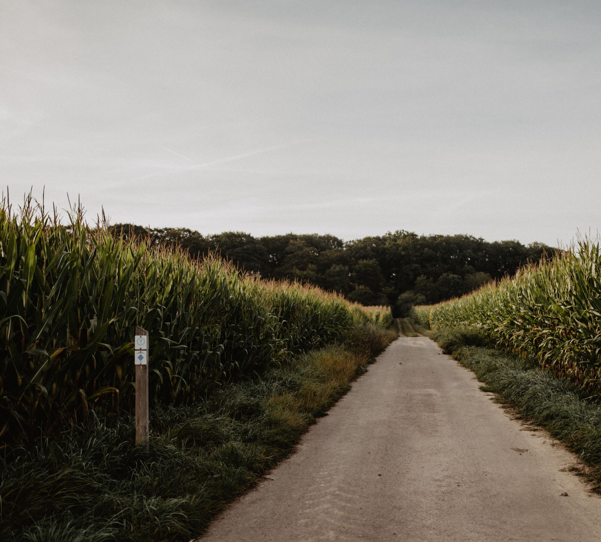
These traditional hiking trails, created by the Ministry of Economy, can be found all over Luxembourg. There are 43 of them in the Éislek region. You can easily reach their starting points by car. The Auto-Pédestre trails complement the other circular trails in the Éislek region perfectly.
- Difficoltà
-
intermedio
- Valutazione
-
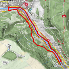
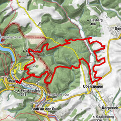
- Percorso
-
Saint-LambertMaarkebach3,5 kmSaint-Lambert9,4 kmGralingen9,5 km
- La stagione migliore
-
genfebmaraprmaggiulugagosetottnovdic
- Punto più alto
- 486 m
- Destinazione
-
28 Rue Principale, Gralingen
- Profilo altimetrico
-
 © outdooractive.com
- Autore
-
Il tour Auto-Pédestre trail Gralingen è utilizzato da outdooractive.com fornito.
GPS Downloads


Info generali
Promettente
Altri tour nelle regioni