© Visit Éislek

- Descrizione rapida
-
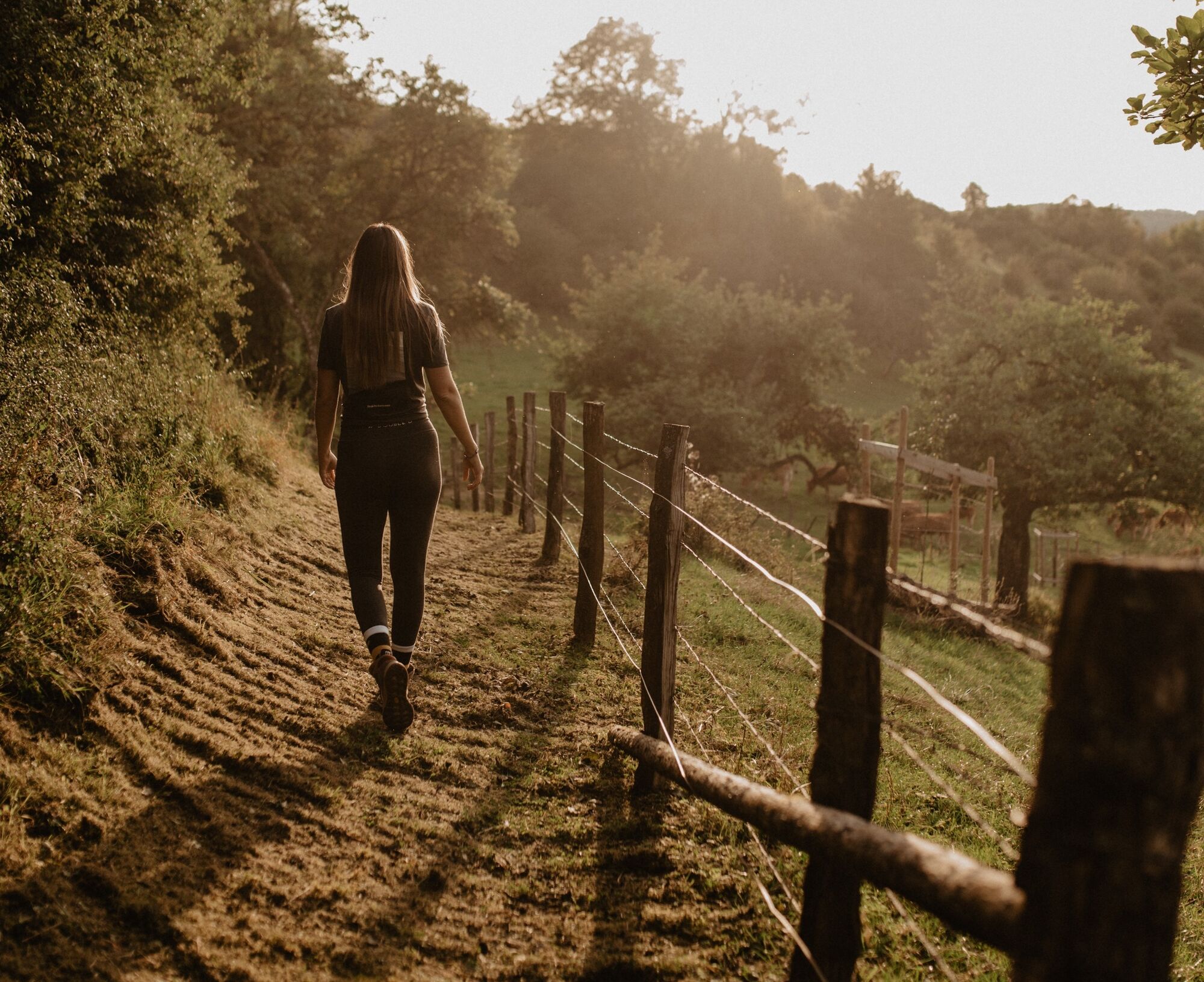
From the leisurely afternoon round to the challenging hiking tour, everything is included in the Local Hiking Trails.
- Difficoltà
-
intermedio
- Valutazione
-
- Percorso
-
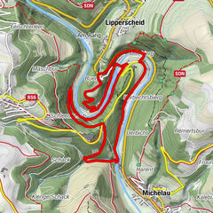
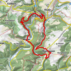
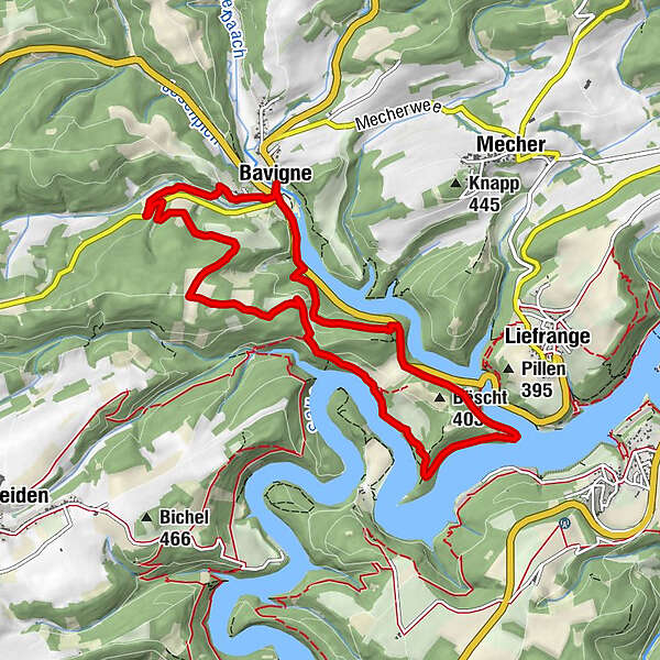
BöwenBëscht (403 m)2,6 kmBöwen10,0 kmSaint-Martin10,0 km
- La stagione migliore
-
genfebmaraprmaggiulugagosetottnovdic
- Punto più alto
- 450 m
- Destinazione
-
Bavigne
- Profilo altimetrico
-
 © outdooractive.com
- Autore
-
Il tour Local hiking trail LH 8 - Bavigne è utilizzato da outdooractive.com fornito.
GPS Downloads


Info generali
Punto di ristoro
Promettente
Altri tour nelle regioni