
- Descrizione rapida
-
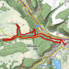
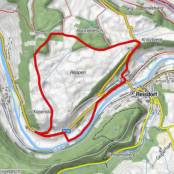
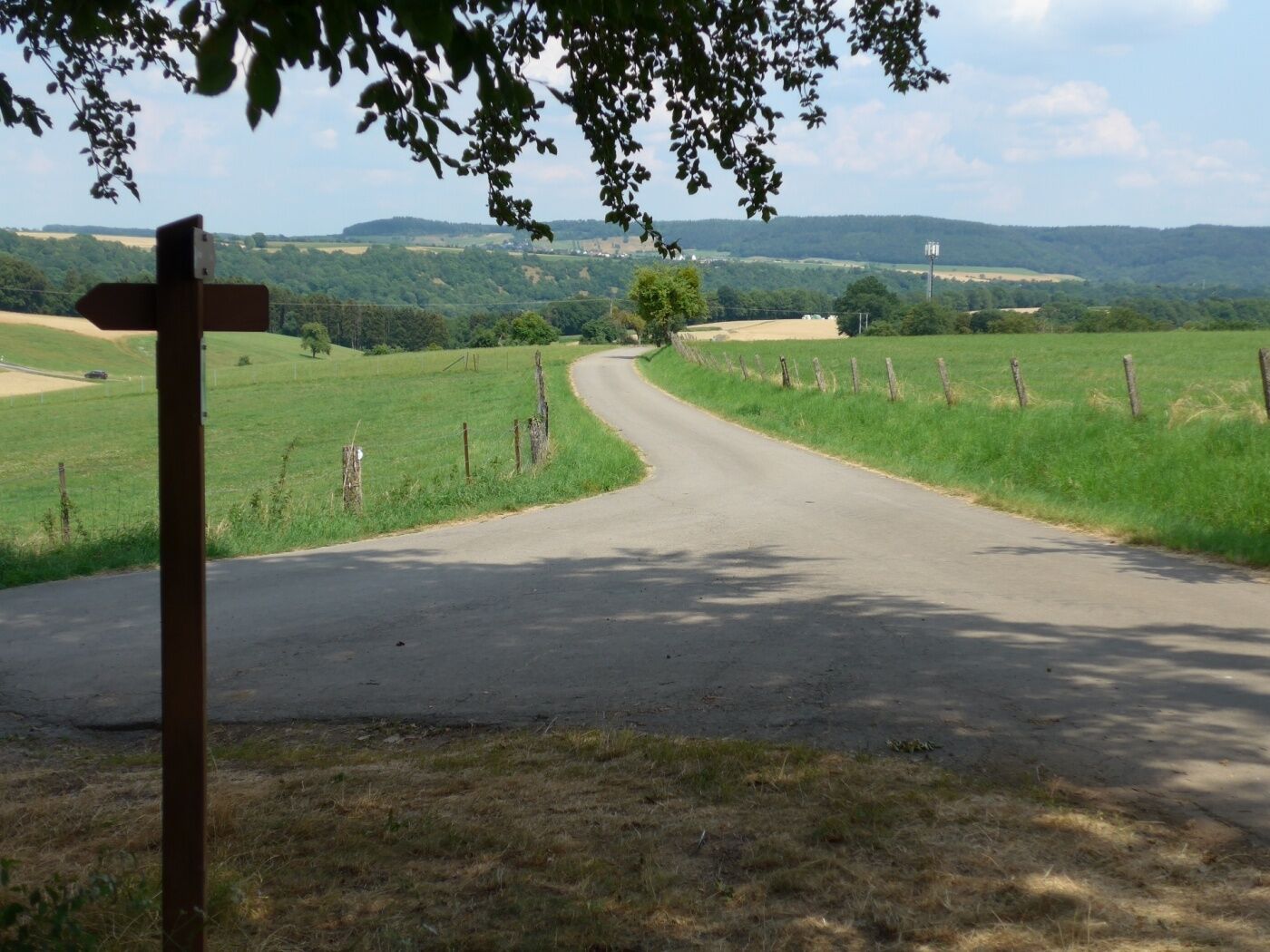
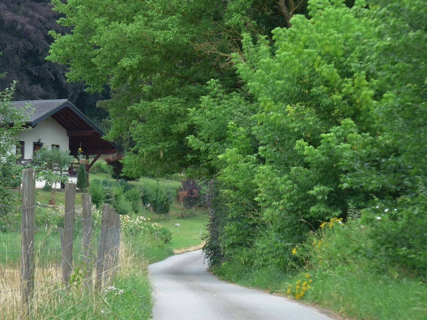
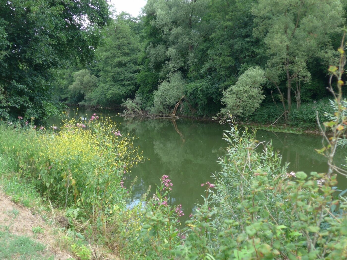
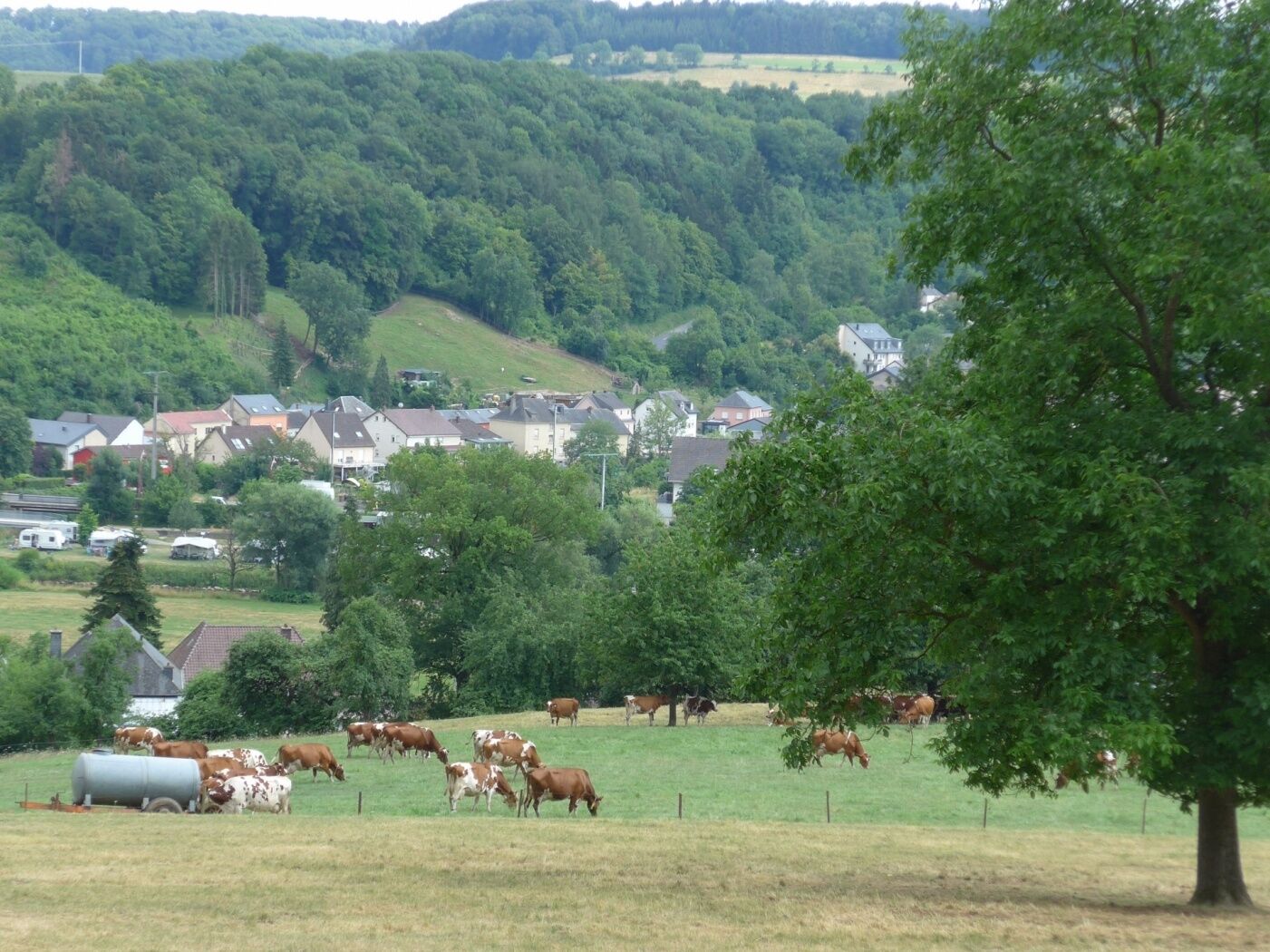
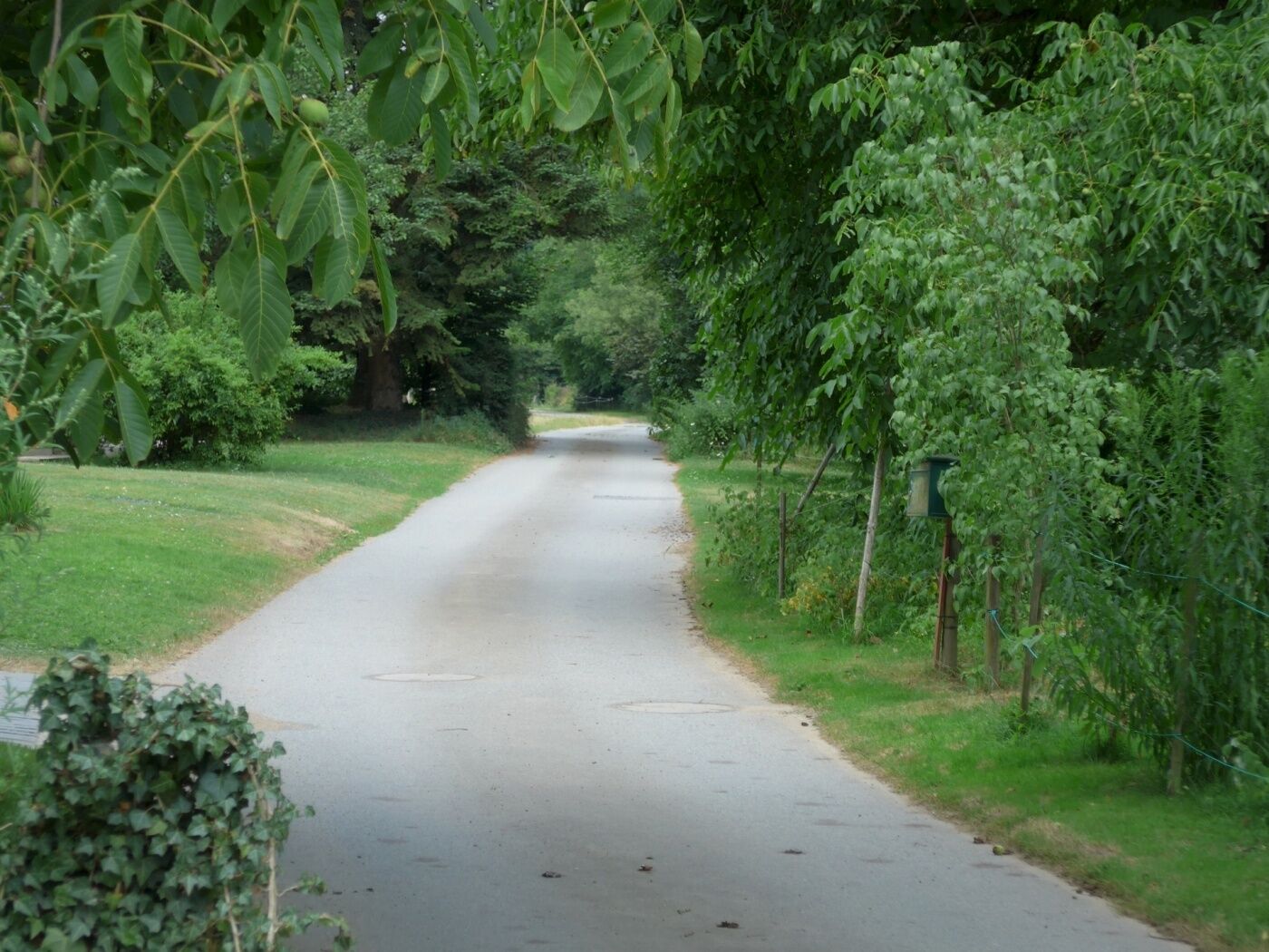
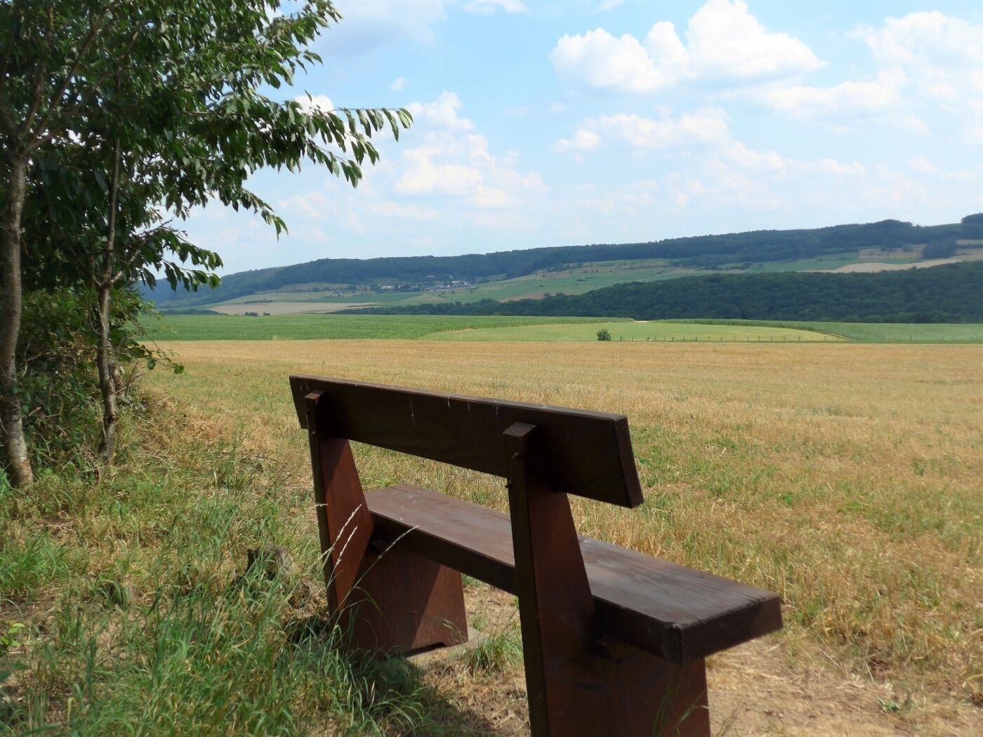
Idyllic forests, wide views and the river Sûre characterize this hiking trail.
- Difficoltà
-
facile
- Valutazione
-
- Percorso
-
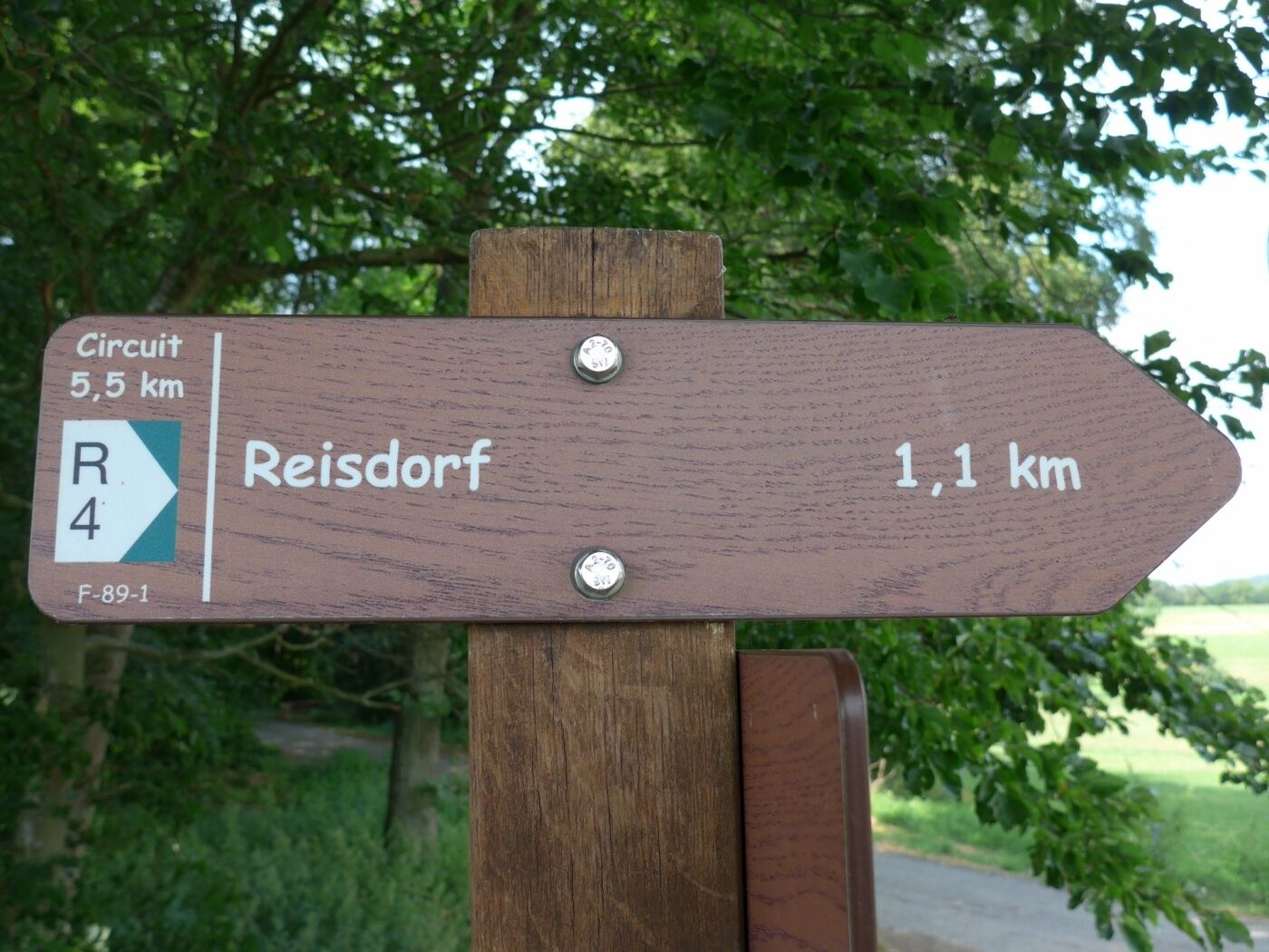
Chapelle Saint-AntoineReisdorfReisdorf5,4 kmChapelle Saint-Antoine5,4 km
- La stagione migliore
-
genfebmaraprmaggiulugagosetottnovdic
- Punto più alto
- 331 m
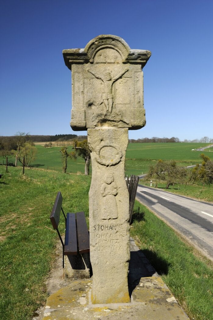
- Destinazione
-
Reisdorf: Chapel
- Profilo altimetrico
-
 © outdooractive.com

- Autore
-
Il tour Local hiking trail - R4 è utilizzato da outdooractive.com fornito.
GPS Downloads


Info generali
Promettente
Altri tour nelle regioni
-
Müllerthal
548
-
Vianden
159