- Descrizione rapida
-
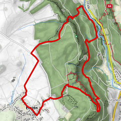
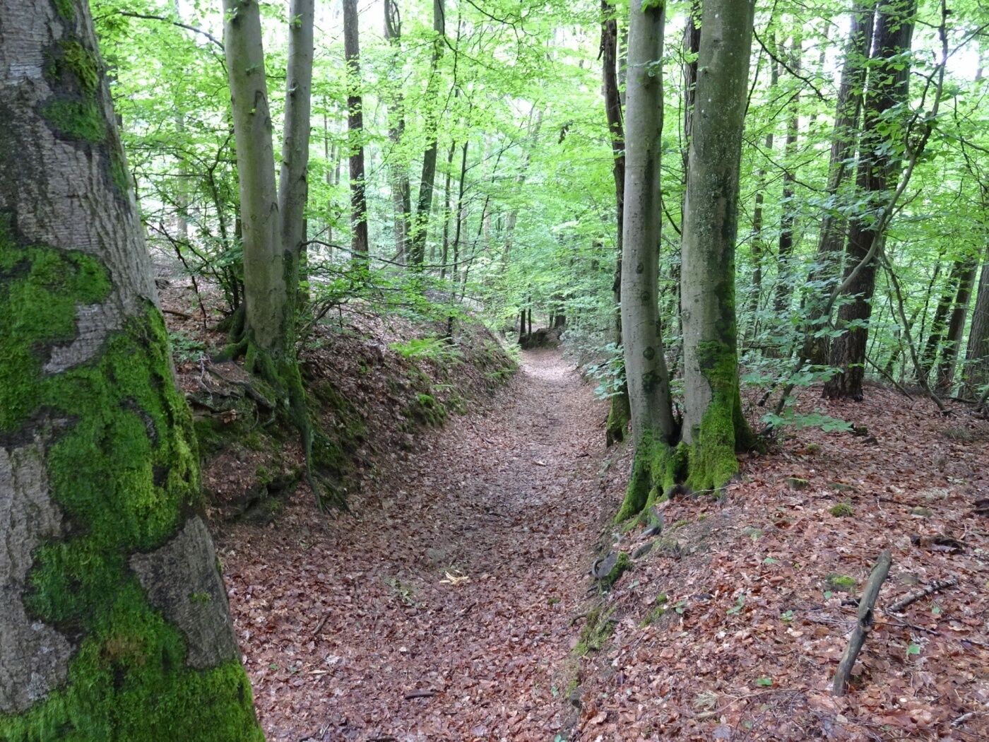
Short hiking trail that starts in the center of Nommern.
- Difficoltà
-
facile
- Valutazione
-
- Percorso
-
Nommern0,1 kmNativité de la Bienheureuse-Vierge-Marie2,9 km
- La stagione migliore
-
genfebmaraprmaggiulugagosetottnovdic
- Punto più alto
- 414 m
- Destinazione
-
Nommern: Town hall
- Profilo altimetrico
-
 © outdooractive.com


- Autore
-
Il tour Local hiking trail - N3 è utilizzato da outdooractive.com fornito.
GPS Downloads


Info generali
Punto di ristoro
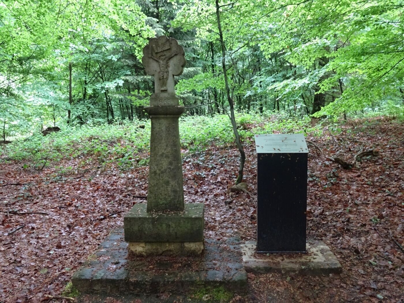
Culturale/Storico
Promettente
Altri tour nelle regioni
-
Müllerthal
548
-
Diekirch
182