
- Descrizione rapida
-
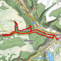
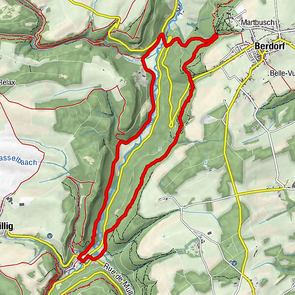
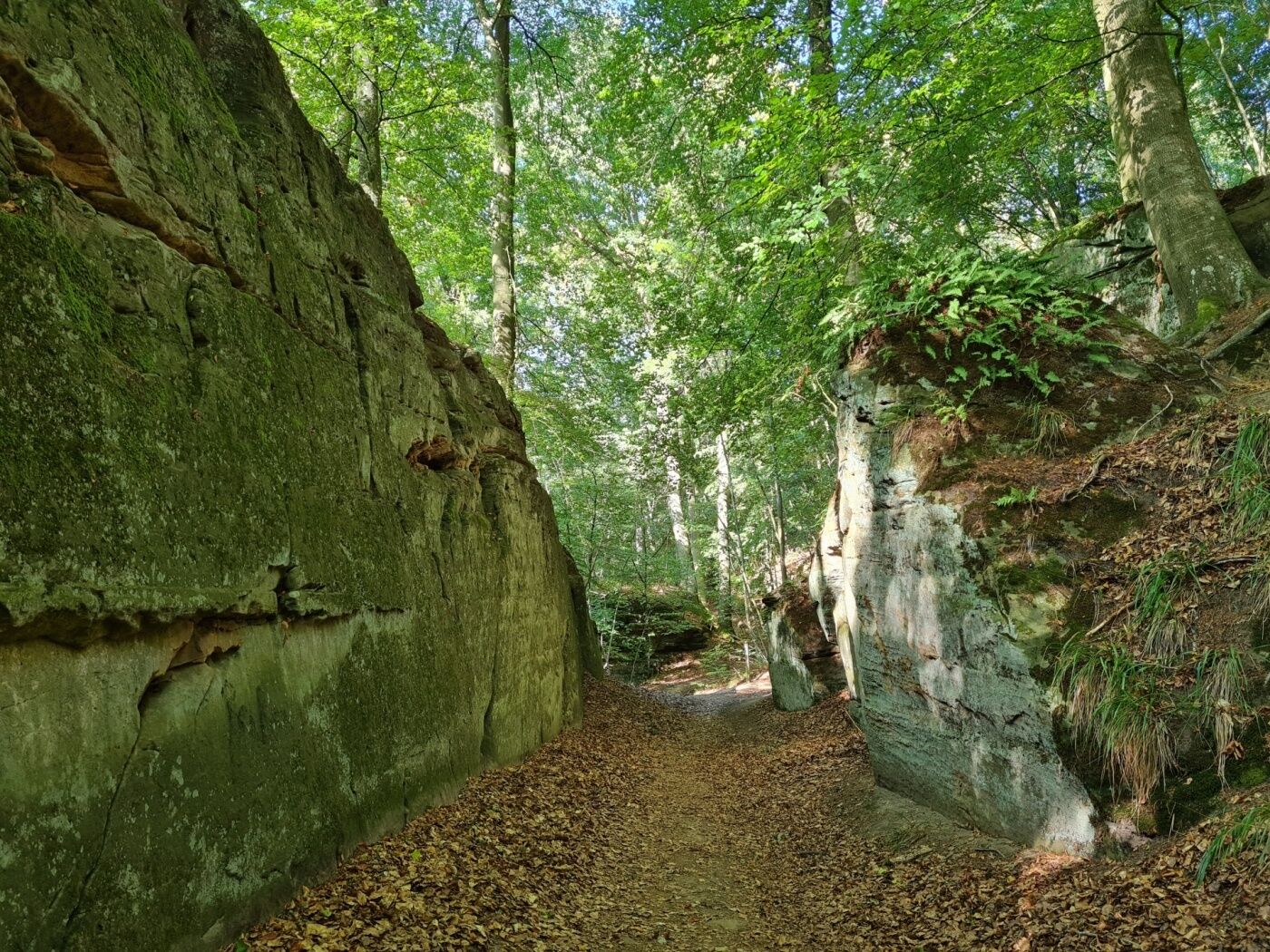
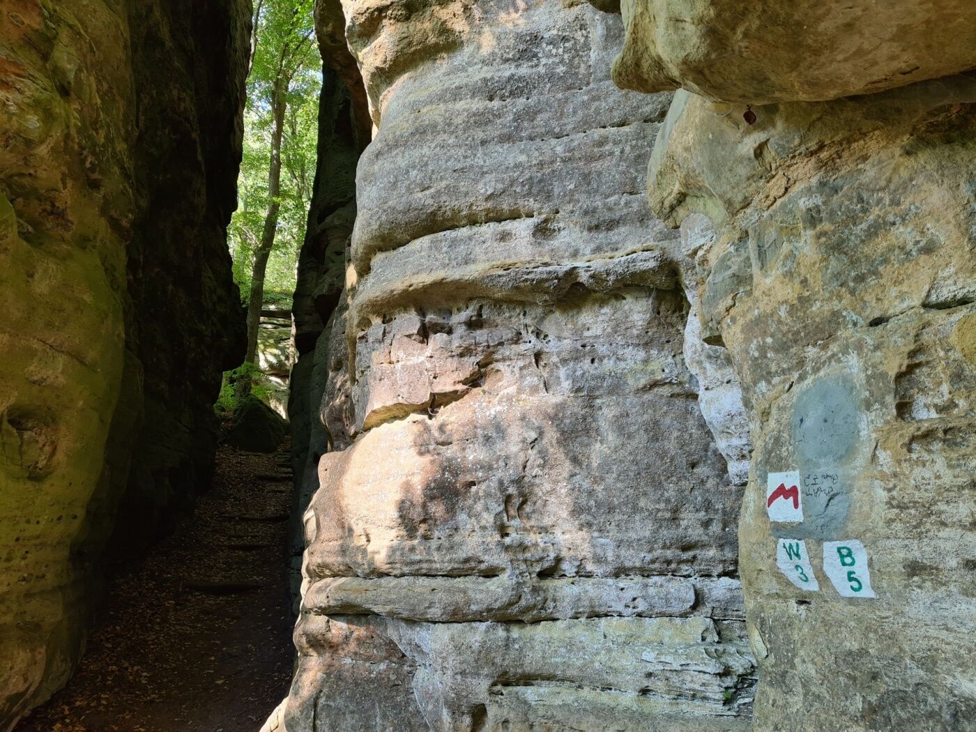
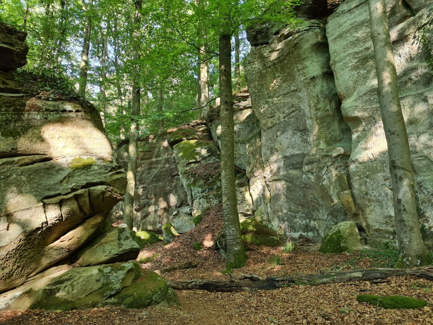
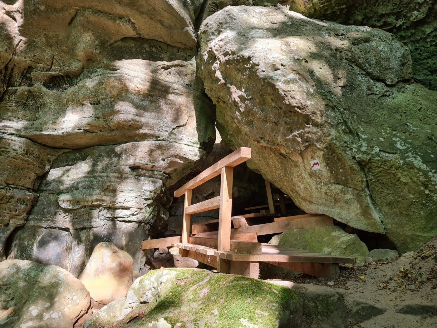
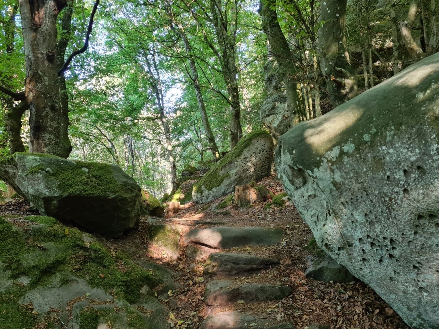
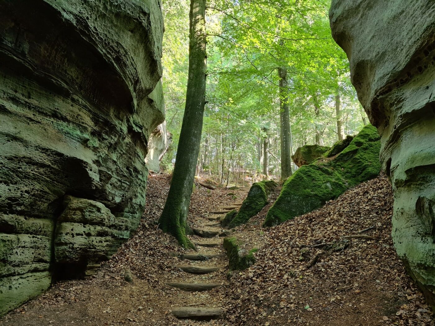
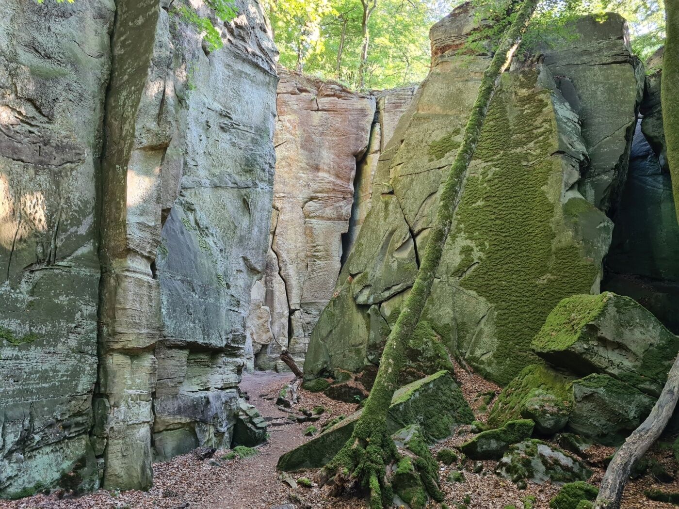
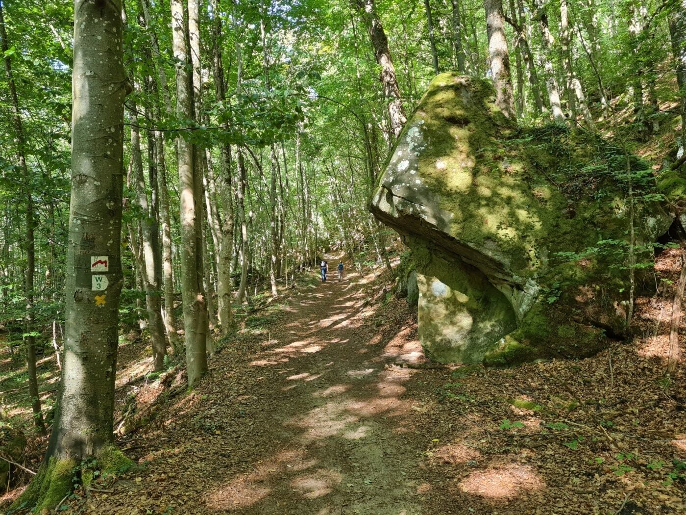
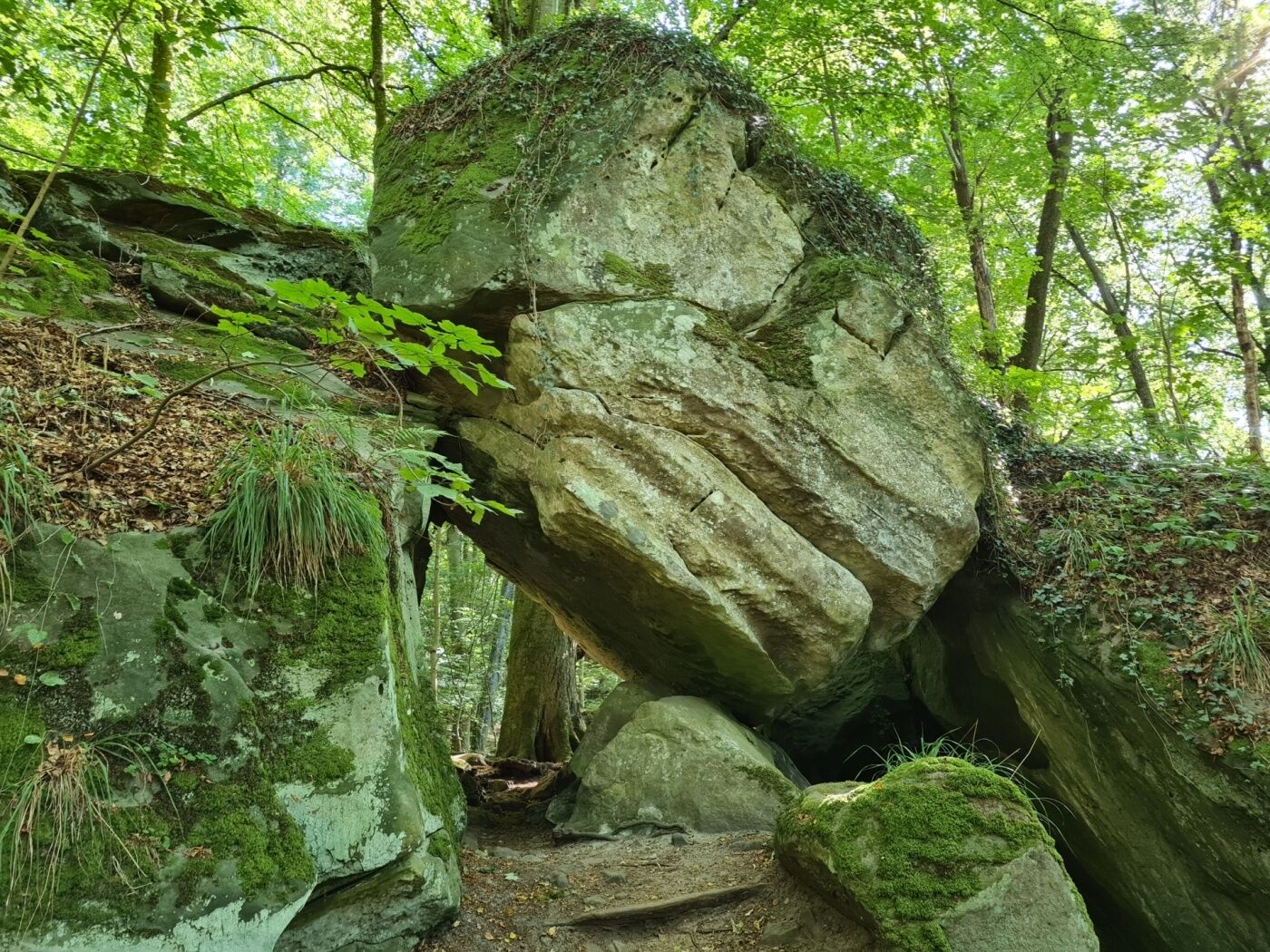
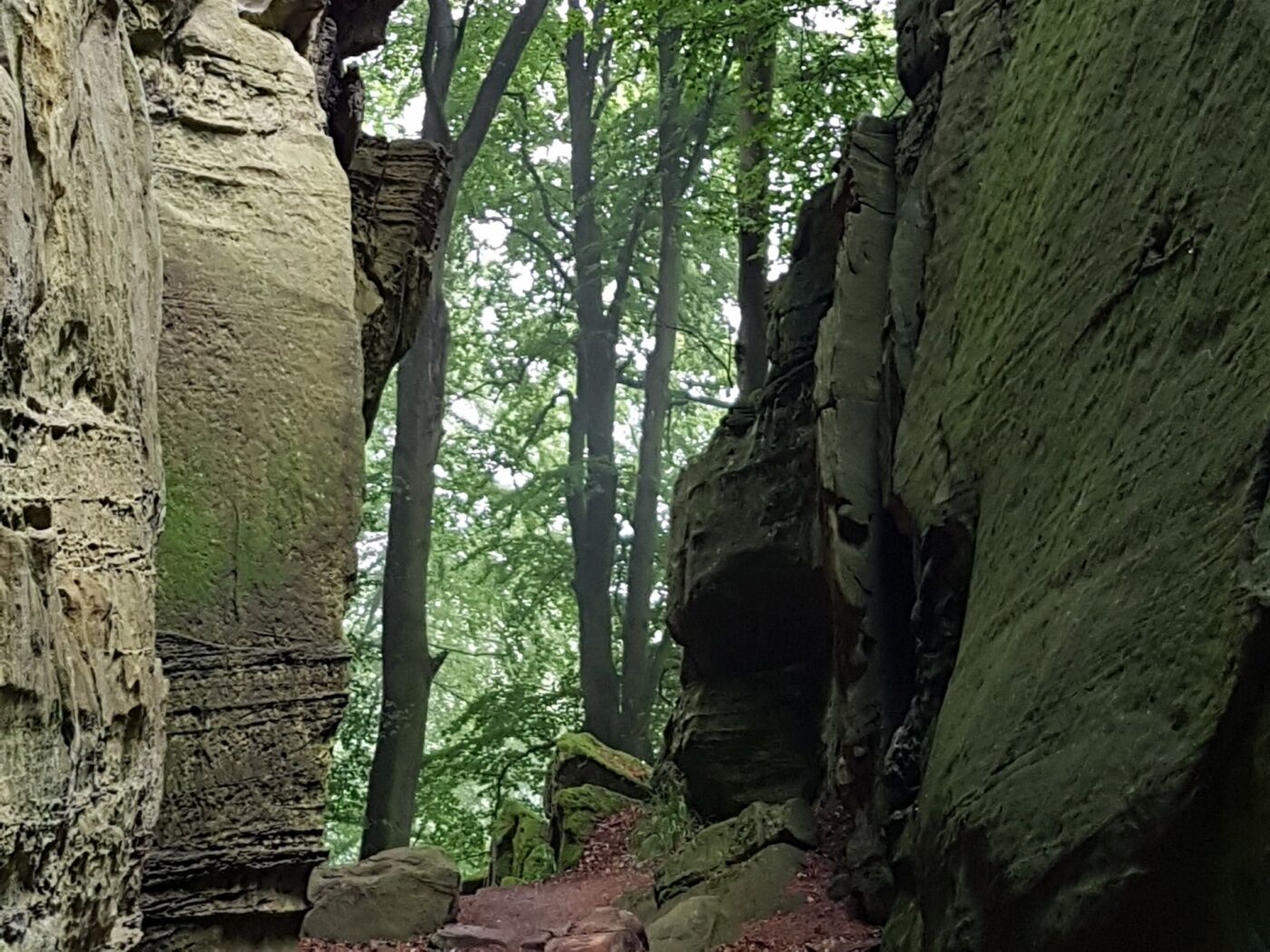
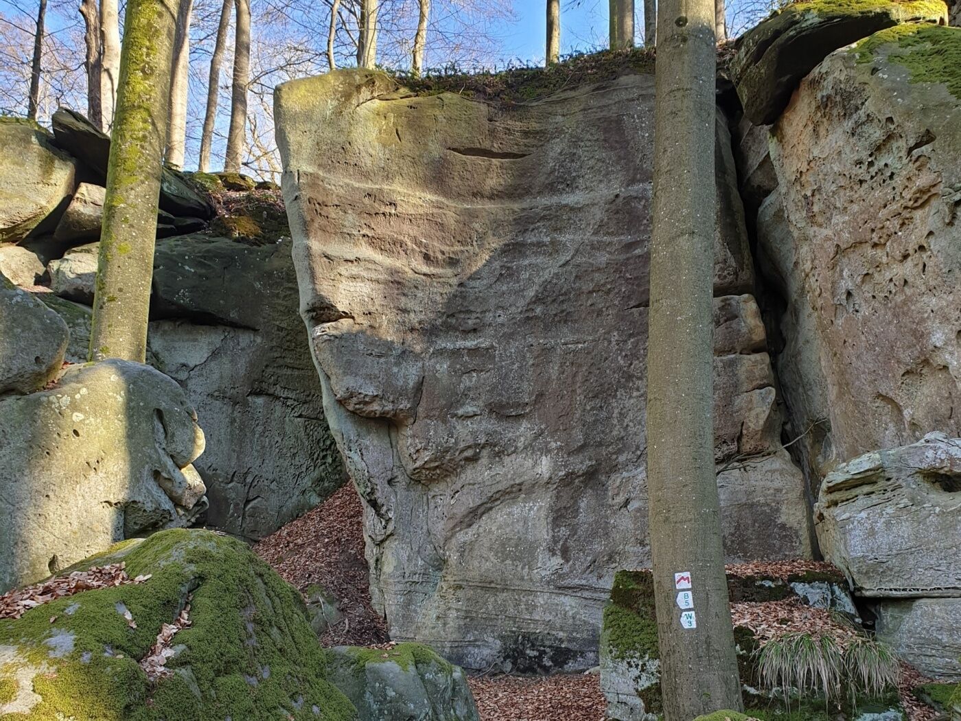
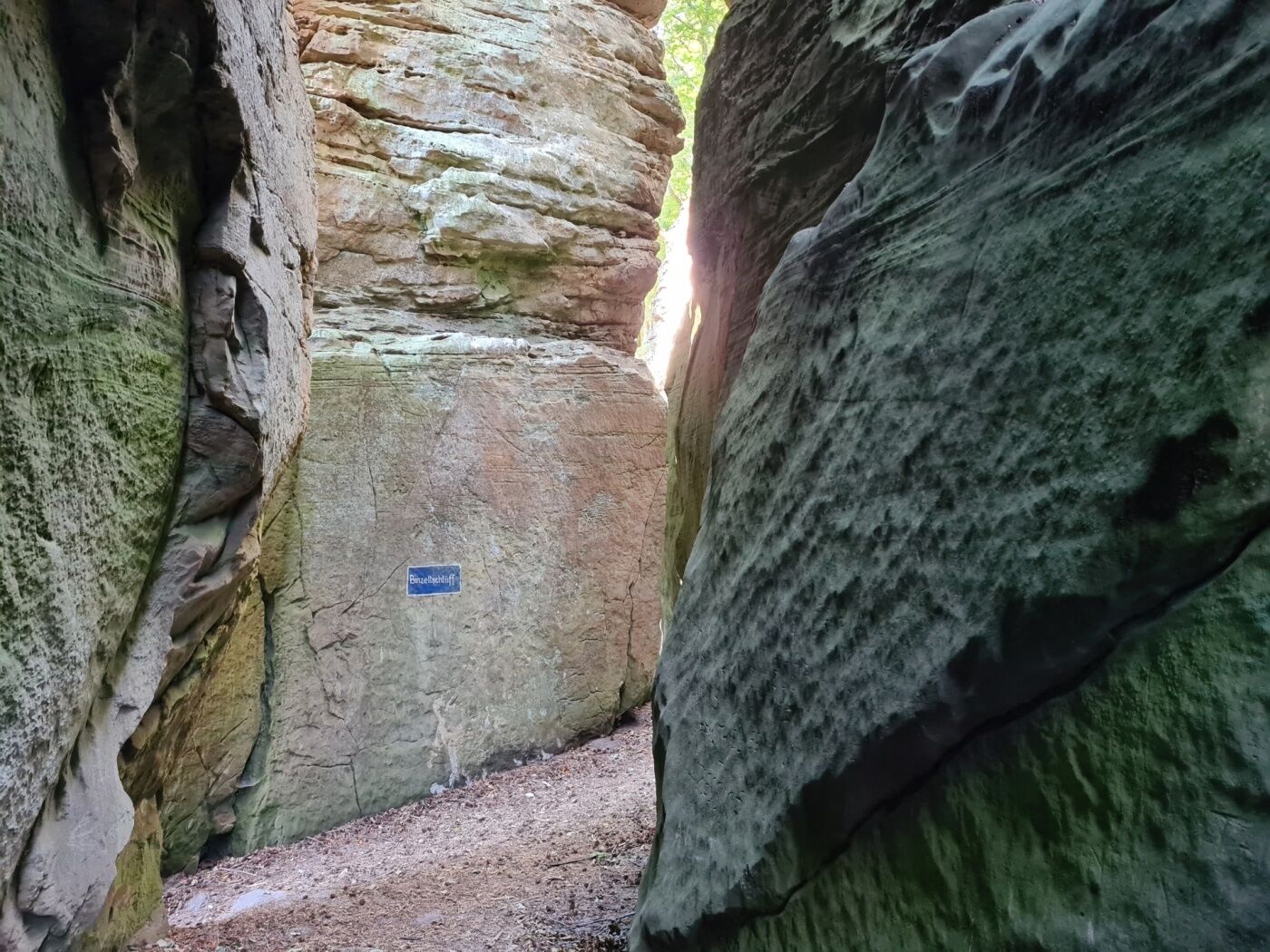
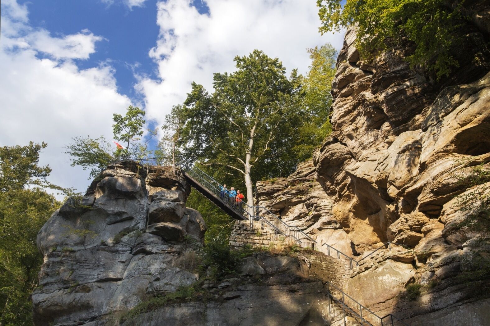
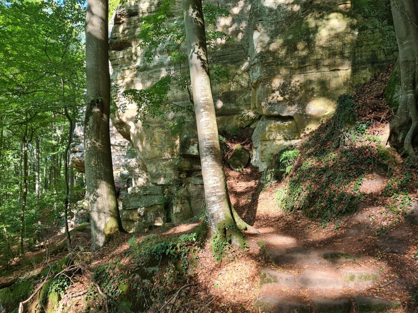
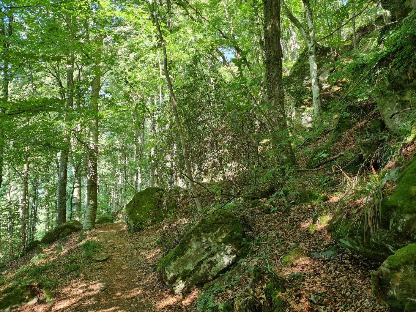
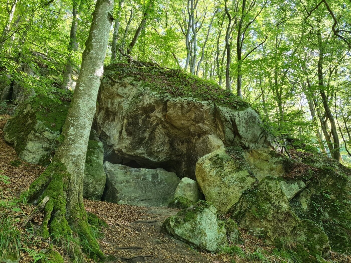
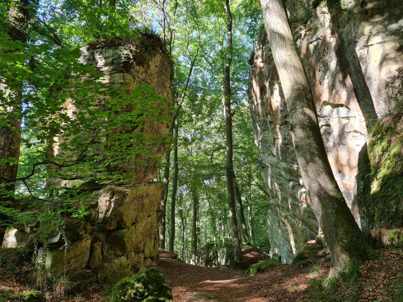
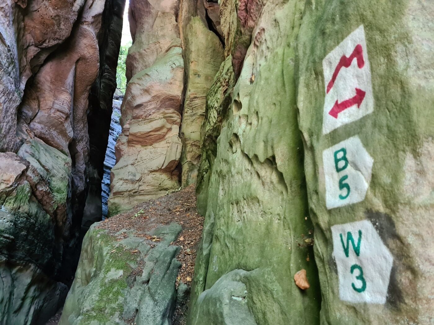
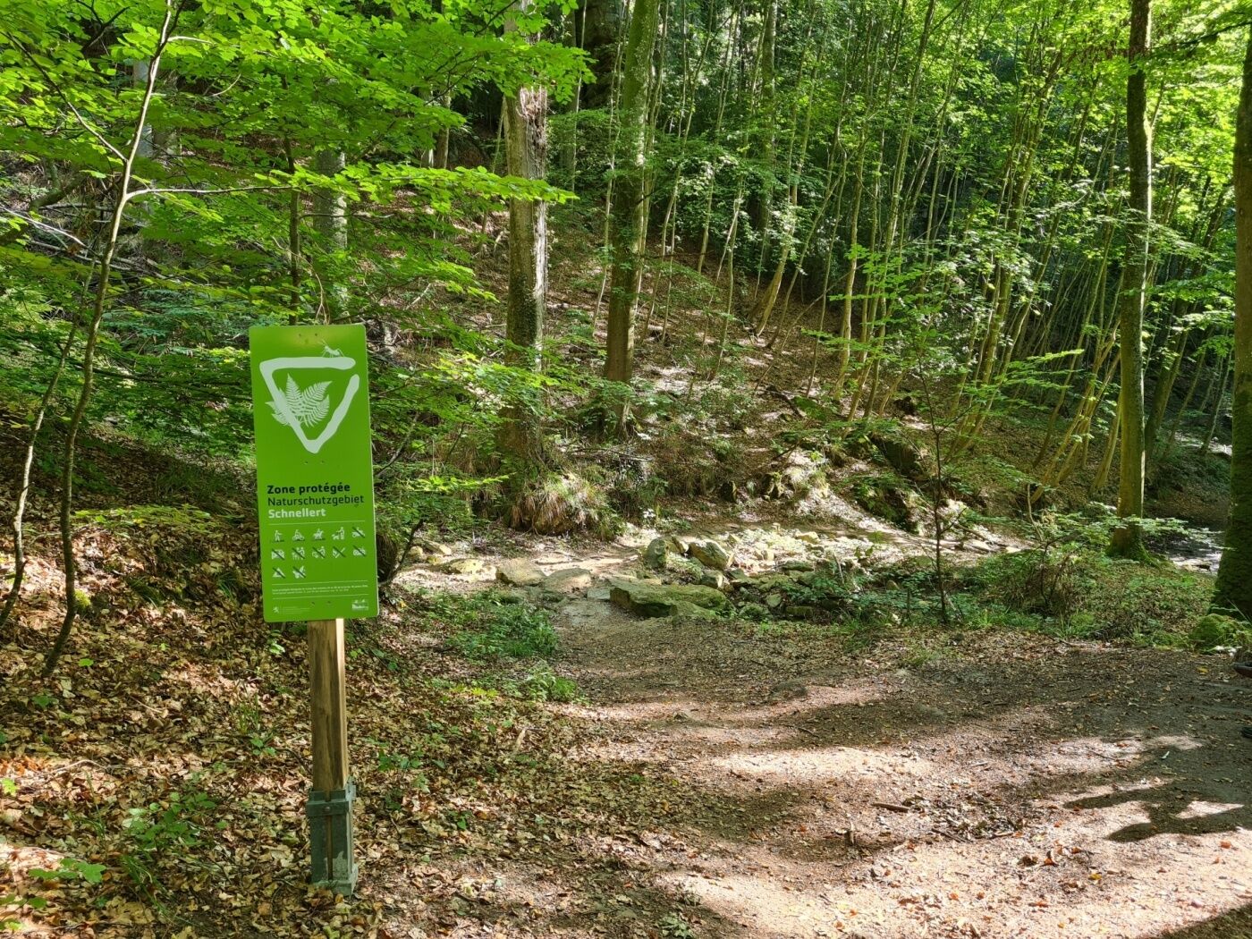
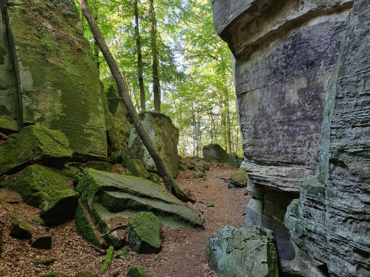
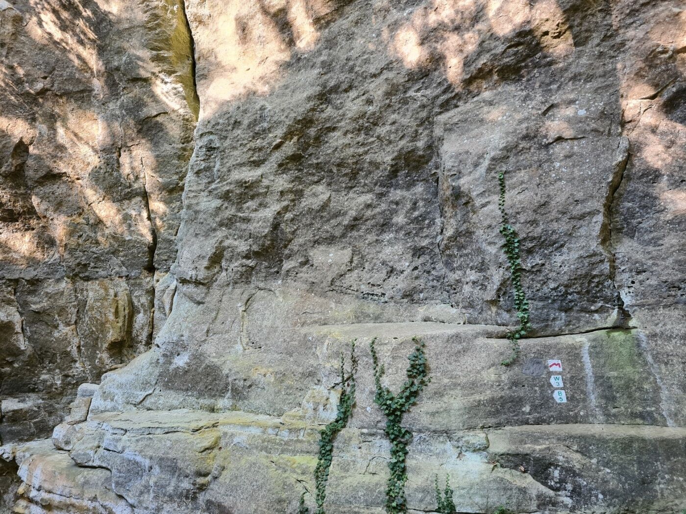
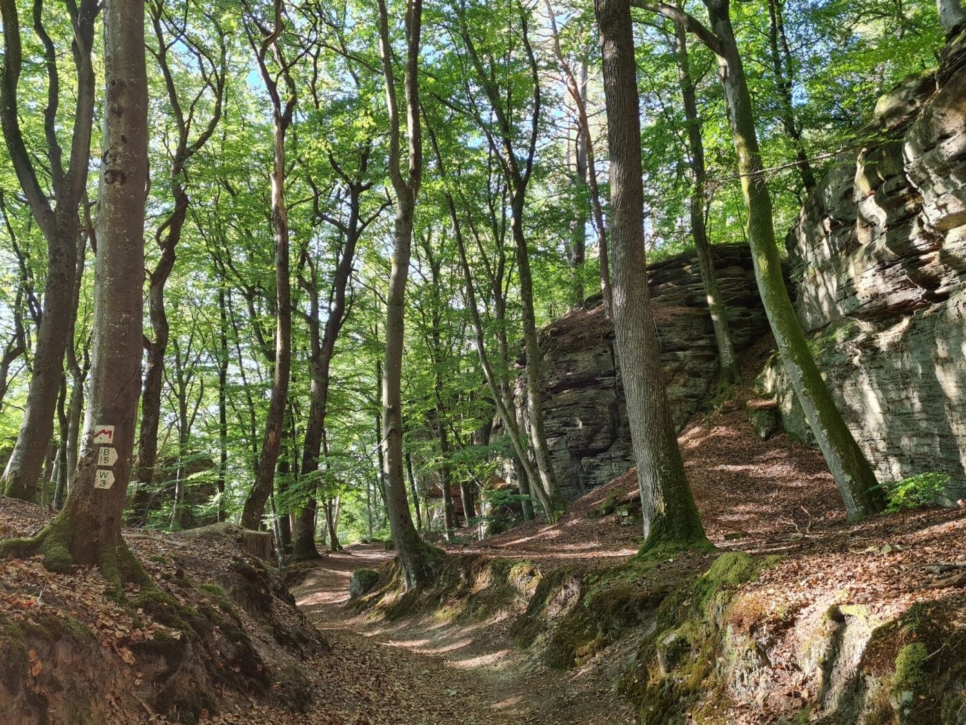
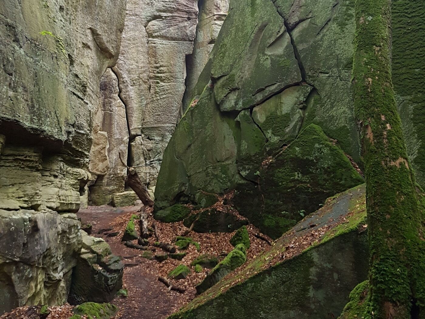
Spectacular rock formations and hiking along a picturesque brook make this trail an absolute highlight.
- Difficoltà
-
intermedio
- Valutazione
-
- Percorso
-
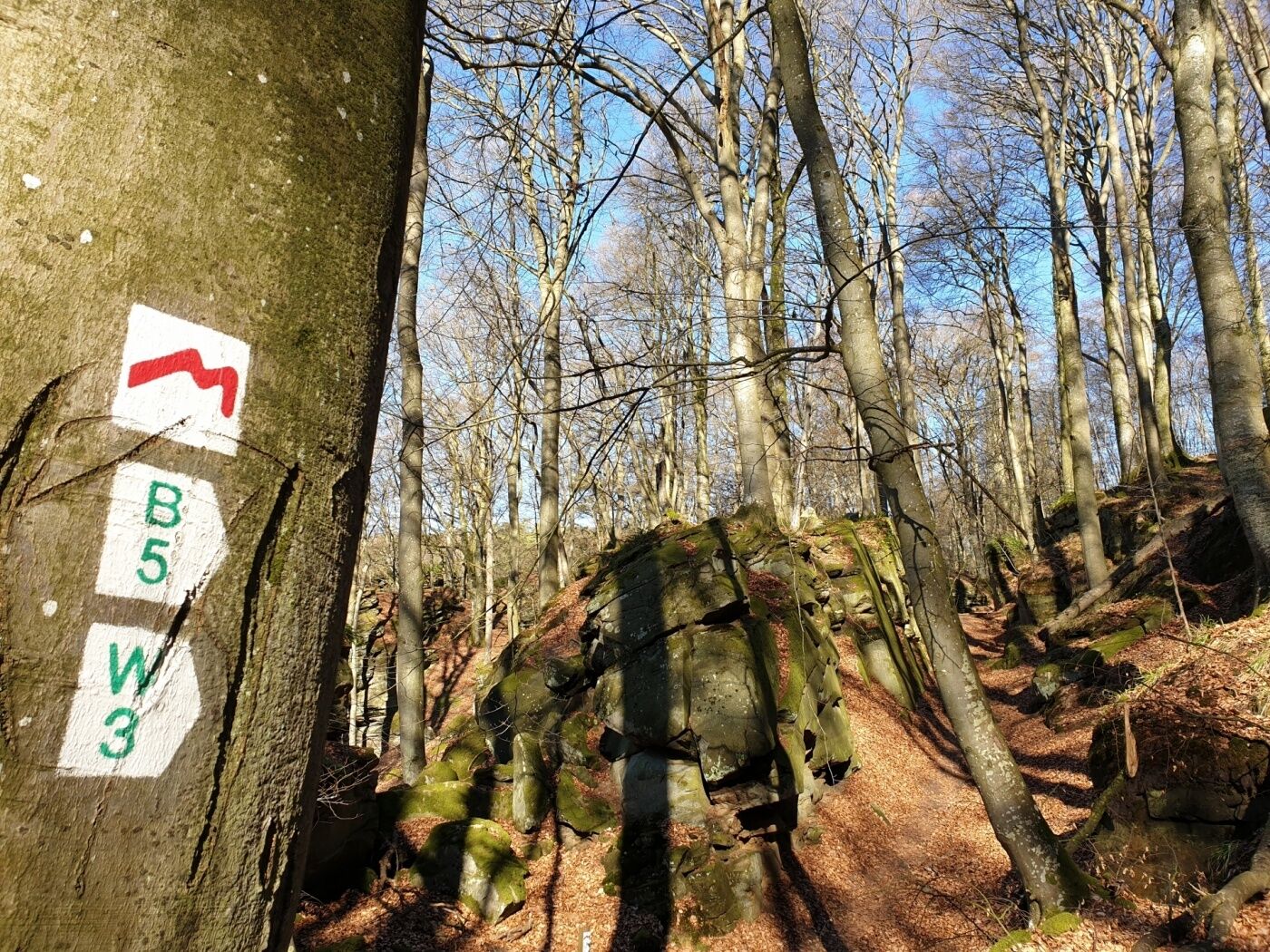
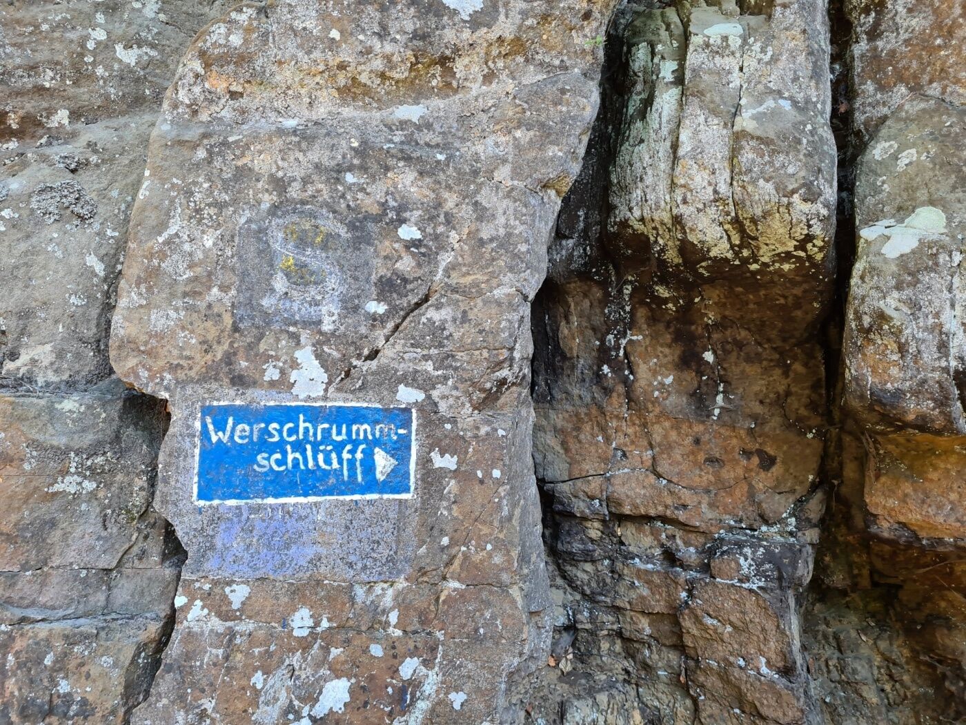
Müllerthal0,1 kmLe Cigalon0,2 kmCave Ste Barbe, Entrance 11,3 kmCave of the Celts1,3 kmGrotte St Jean1,8 kmPredigtstuhl4,3 kmDie Hölle5,4 kmVogelsmühle6,8 kmMüllerthal11,4 km
- La stagione migliore
-
genfebmaraprmaggiulugagosetottnovdic
- Punto più alto
- 335 m
- Destinazione
-
Mullerthal: Touristcenter Heringer Millen
- Profilo altimetrico
-
 © outdooractive.com

- Autore
-
Il tour Local hiking trail - W3 è utilizzato da outdooractive.com fornito.
GPS Downloads


Altri tour nelle regioni
-
Müllerthal
549
-
Manternach
167