© Visit Luxembourg - Pancake! photographie

© Visit Luxembourg - Pancake! photographie

© Visit Luxembourg - Alfonso Salgueiro

© Visit Luxembourg - Alfonso Salgueiro

- Descrizione rapida
-
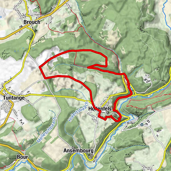
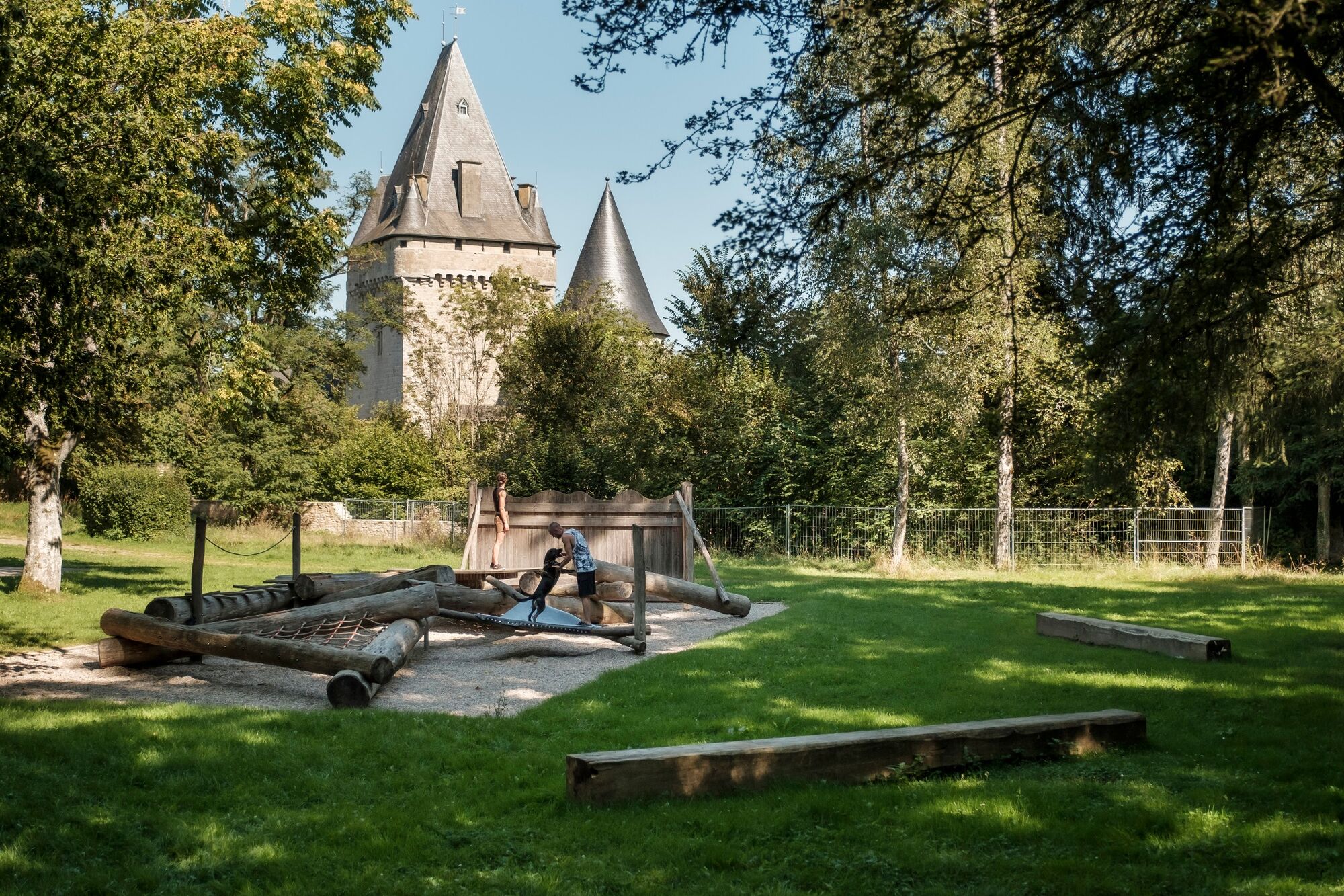
This trail leads straight down the valley of the Eisch and past the Neimillen mill, at the mouth of the Kalbaach. To return to the starting point this path takes you over the Bruchendall.
- Difficoltà
-
intermedio
- Valutazione
-
- Percorso
-
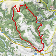
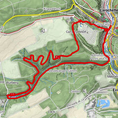
HollenfelsNeimillen2,9 kmHollenfels9,3 km
- La stagione migliore
-
genfebmaraprmaggiulugagosetottnovdic
- Punto più alto
- 371 m
- Destinazione
-
Rue d´Ansembourg
- Profilo altimetrico
-
 © outdooractive.com


- Autore
-
Il tour Auto-pédestre trail Hollenfels è utilizzato da outdooractive.com fornito.
GPS Downloads


Altri tour nelle regioni
-
Guttland
412
-
Helperknapp
93