


- Descrizione rapida
-
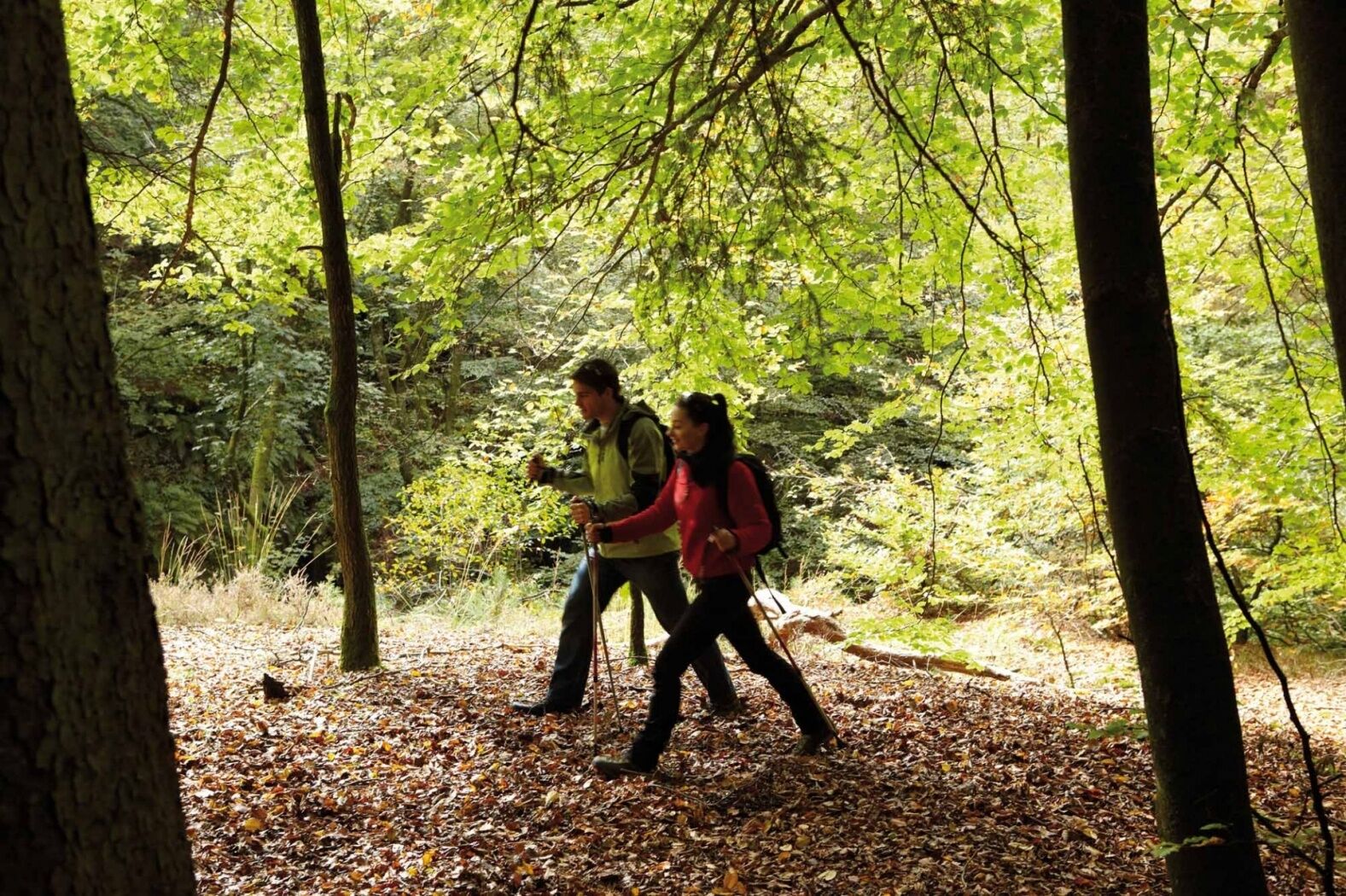
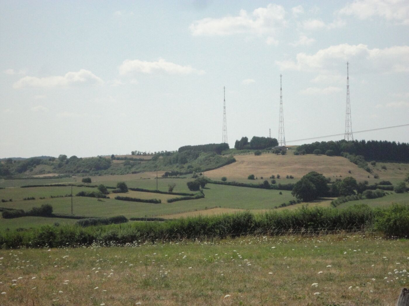
Relaxed circular hiking trail with a lot of variety between open land and forest.
- Difficoltà
-
intermedio
- Valutazione
-
- Percorso
-
Junglinster0,5 kmZwéckekopp2,1 kmBierger6,0 kmJunglinster8,9 km
- La stagione migliore
-
genfebmaraprmaggiulugagosetottnovdic
- Punto più alto
- 399 m
- Destinazione
-
Junglinster: Town hall
- Profilo altimetrico
-
 © outdooractive.com

- Autore
-
Il tour Auto-pédestre trail Junglinster è utilizzato da outdooractive.com fornito.
GPS Downloads


Altri tour nelle regioni
-
Müllerthal
549
-
Niederanven
105


