Auto-pédestre trail Roodt-sur-Syre

Logo Auto-pédestre trail Roodt-sur-Syre
Dati percorsi
10,78km
233 - 306m
Distanz
130hm
128hm
L'ascesa
02:50h
 
Durata
Descrizione rapida

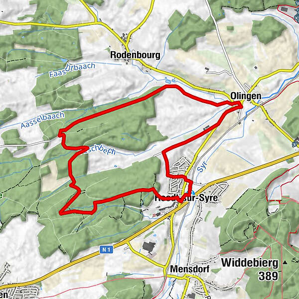
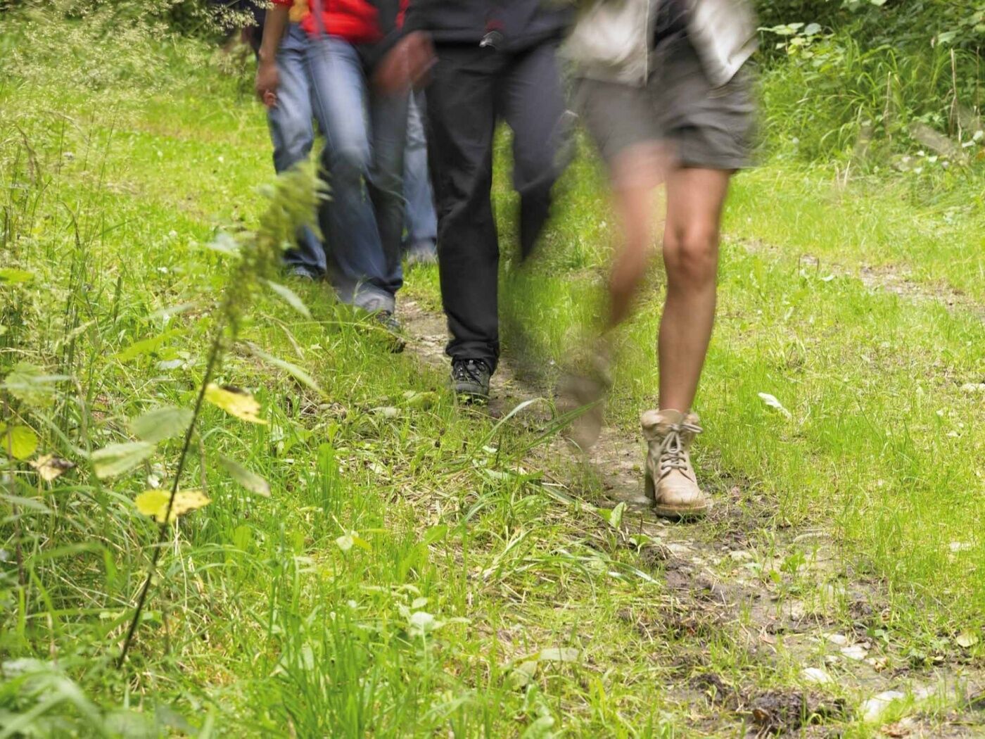
Take advantage of this shaded trail through the Riederbësch, Baurebësch forests and the roman road Kiem which then follows a country road and passes through fields on the return journey.

Difficoltà
intermedio
Valutazione
Tecnica
Forma fisica
Panorama
Avventura / Esperienza
Percorso
Roodt
Roodt/Syre
0,2 km
Olingen
8,0 km
Restaurant Rébeca
8,1 km
Roodt/Syre
10,7 km
Roodt
10,7 km

La stagione migliore
gen
feb
mar
apr
mag
giu
lug
ago
set
ott
nov
dic
Punto più alto
306 m
Destinazione

Train station Roodt-sur-Syre

Profilo altimetrico
© outdooractive.com

Autore
Il tour Auto-pédestre trail Roodt-sur-Syre è utilizzato da outdooractive.com fornito.

Valutazione complessiva

5

0

%

4

0

%

3

0

%

2

0

%

1

0

%

Errore
Si è verificato un errore. Si prega di riprovare.
Grazie per la vostra recensione

La valutazione è stata cancellata

GPS Downloads
  • GPX GPS Exchange Format (XML)
  • KML Google Earth, Google Maps
Codici di download QR per telefoni cellulari

Info generali

Punto di ristoro
Altri tour nelle regioni

Tour popolari della zona

Saarschleife Tafeltour

difficile Escursionismo
16,36km | 423hm | 05:00h

Erasmus-Schleife

facile Escursionismo
4,31km | 73hm | 01:30h

UNESCO Walk - Luxembourg Old Town And Fortifications

facile Escursionismo
4,37km | 743hm | 01:47h

Rundwanderweg des Naturpark Südeifel 54: Ernzen mit Teufelsschlucht

intermedio Escursionismo
8,06km | 168hm | 03:00h