© Visit Luxembourg - ORT Müllerthal


© ORT MPSL

© ORT MPSL - Monique Mathieu

© ORT MPSL - Monique Mathieu

- Descrizione rapida
-
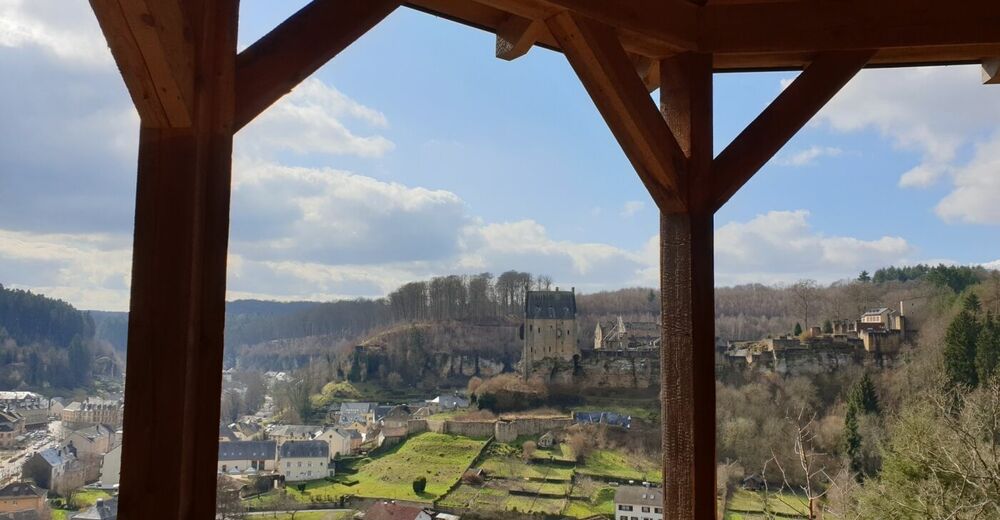
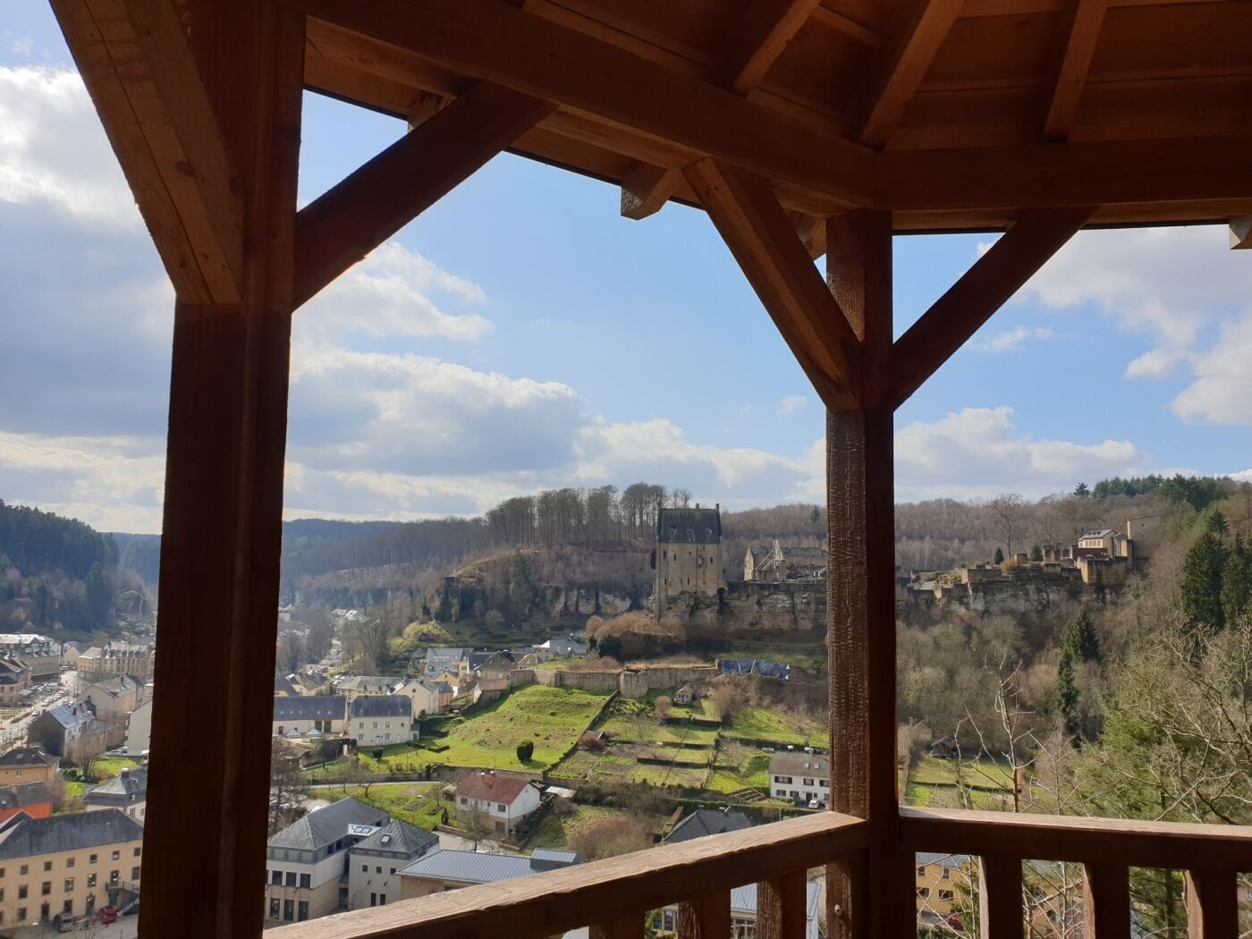
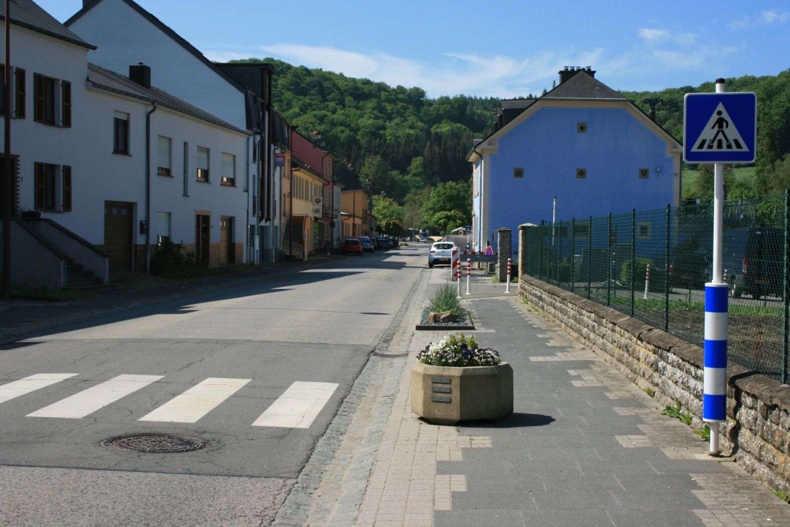
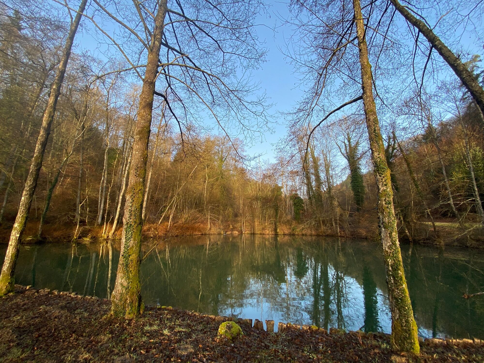
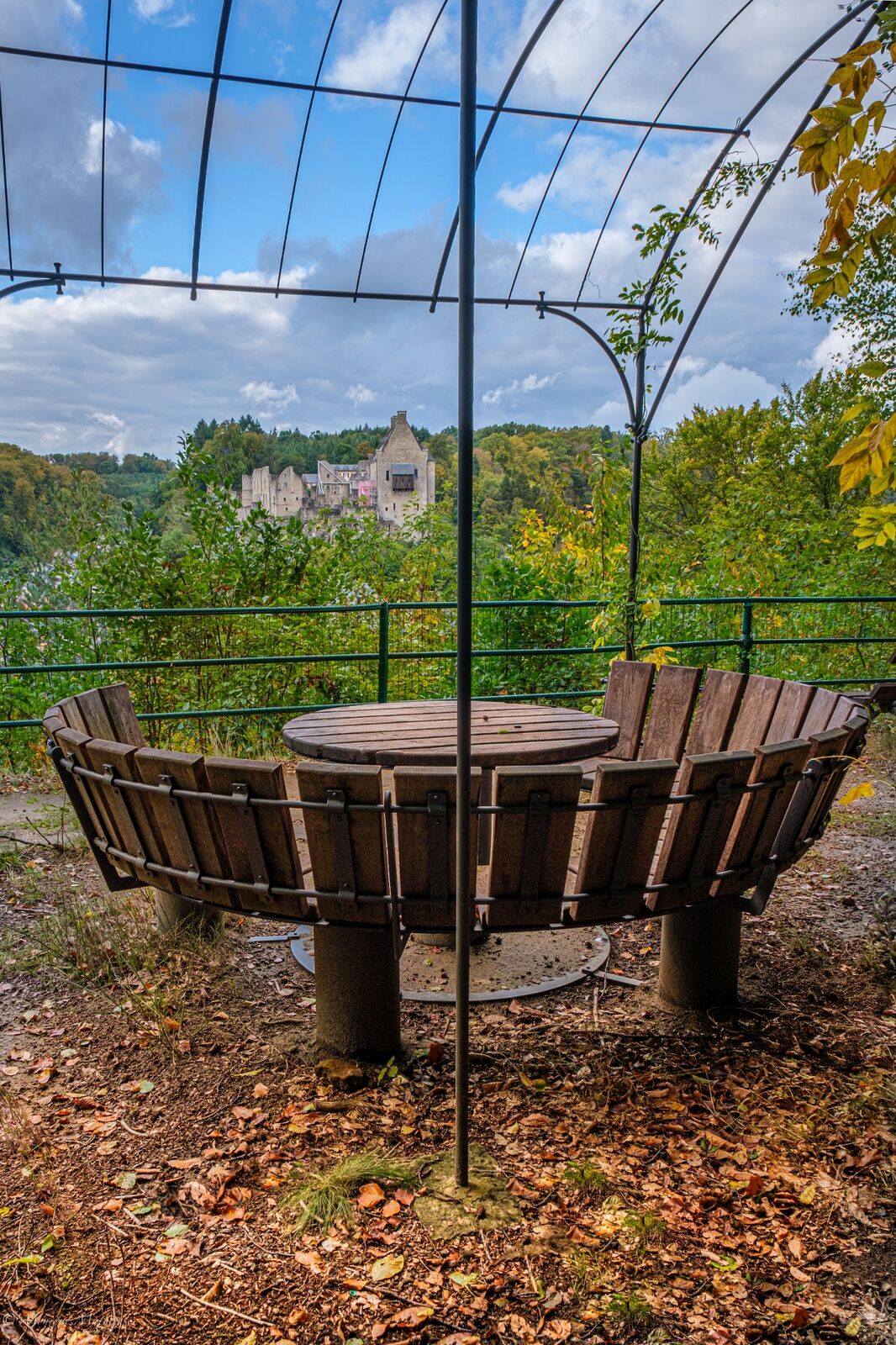
This varied circular tour offers great views on the castle of Larochette. You walk through forests, meadows, along the water and through the lively town of Larochette.
- Difficoltà
-
intermedio
- Valutazione
-
- Percorso
-
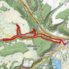
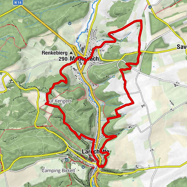
7 saveurs0,1 kmMedernach0,1 kmFels4,6 kmSaint-Donat5,1 kmHimmelsbierg5,8 kmReineschhaff10,7 kmFuertgeshaff11,2 kmFoschent11,8 kmMedernach13,5 km7 saveurs13,6 km
- La stagione migliore
-
genfebmaraprmaggiulugagosetottnovdic
- Punto più alto
- 406 m
- Destinazione
-
Medernach: Rue de Larochette
- Profilo altimetrico
-
 © outdooractive.com


- Autore
-
Il tour Local hiking trail - M4 è utilizzato da outdooractive.com fornito.
GPS Downloads


Info generali
Punto di ristoro
Culturale/Storico
Promettente
Altri tour nelle regioni
-
Müllerthal
549
-
Diekirch
183