© Visit Luxembourg - Pancake! Photographie


- Descrizione rapida
-
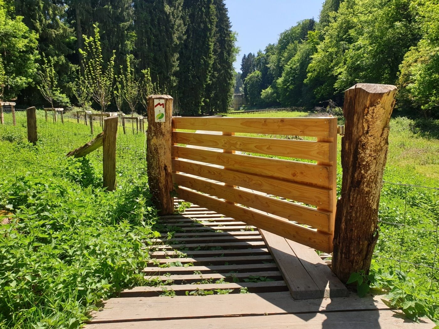
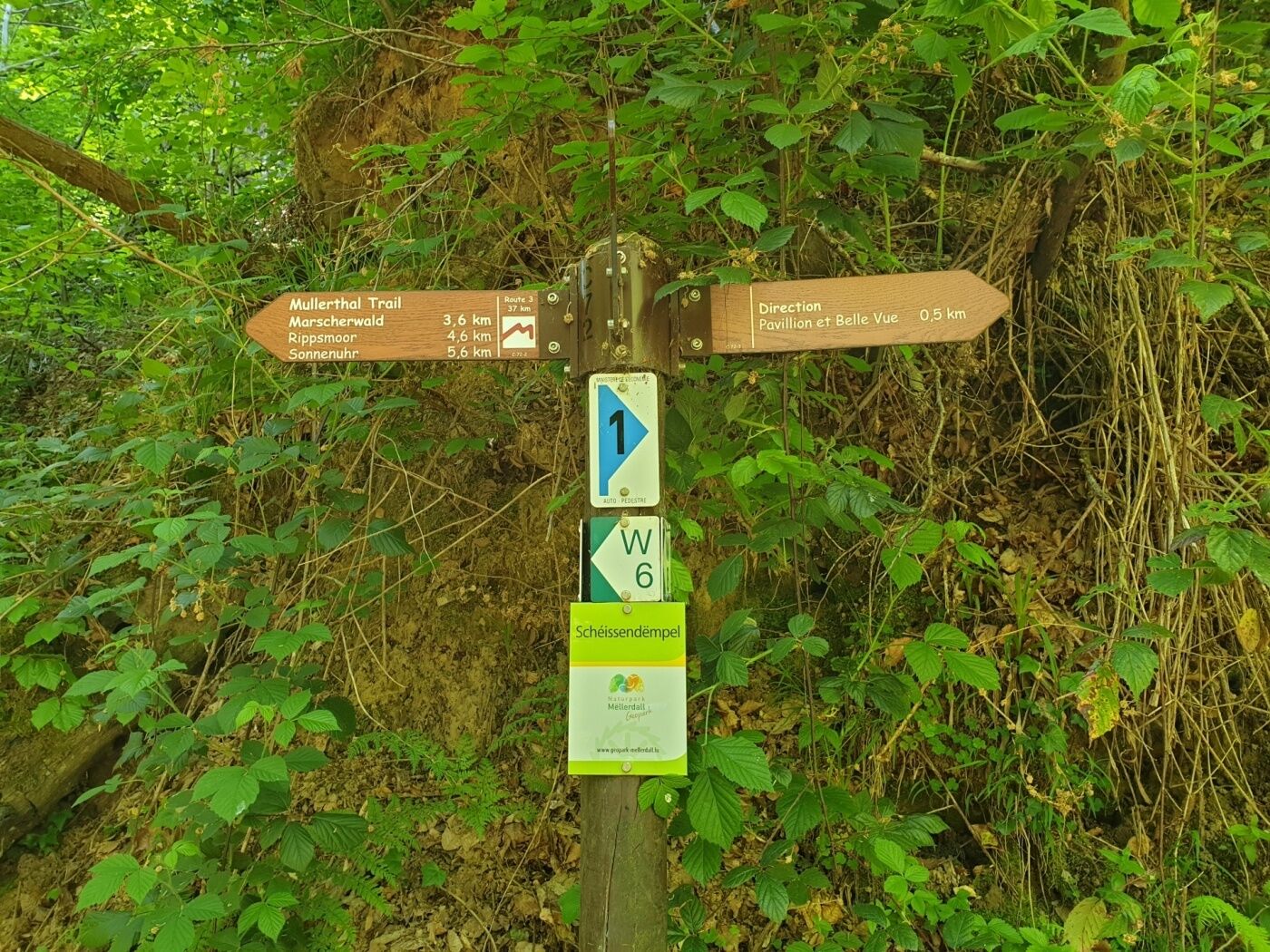
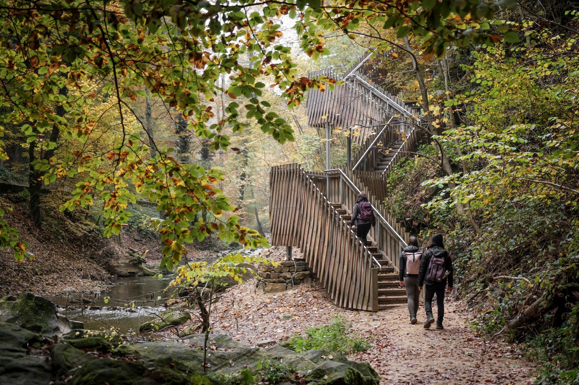
Attention! Due to construction work, the hiking trail between the Heringer Millen and the Schiessentümpel has temporarily taken a different route. Please follow the signposting on site or the route of the GPX, which can be downloaded here.
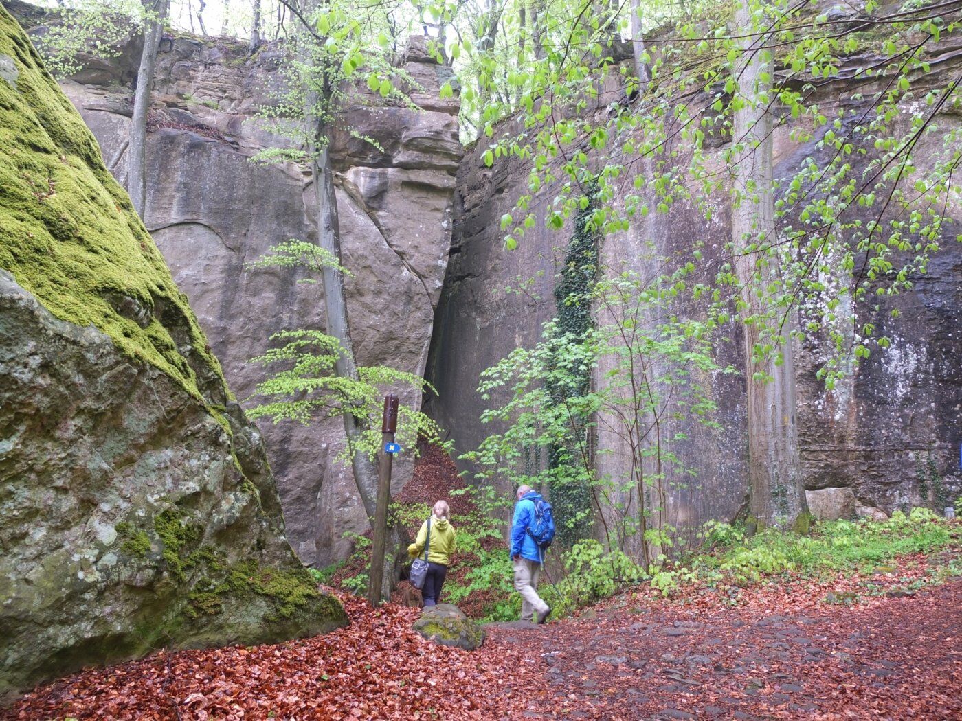
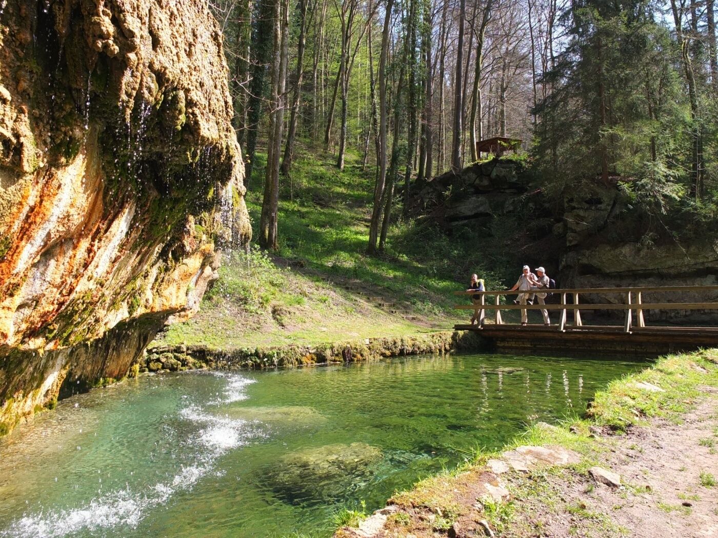
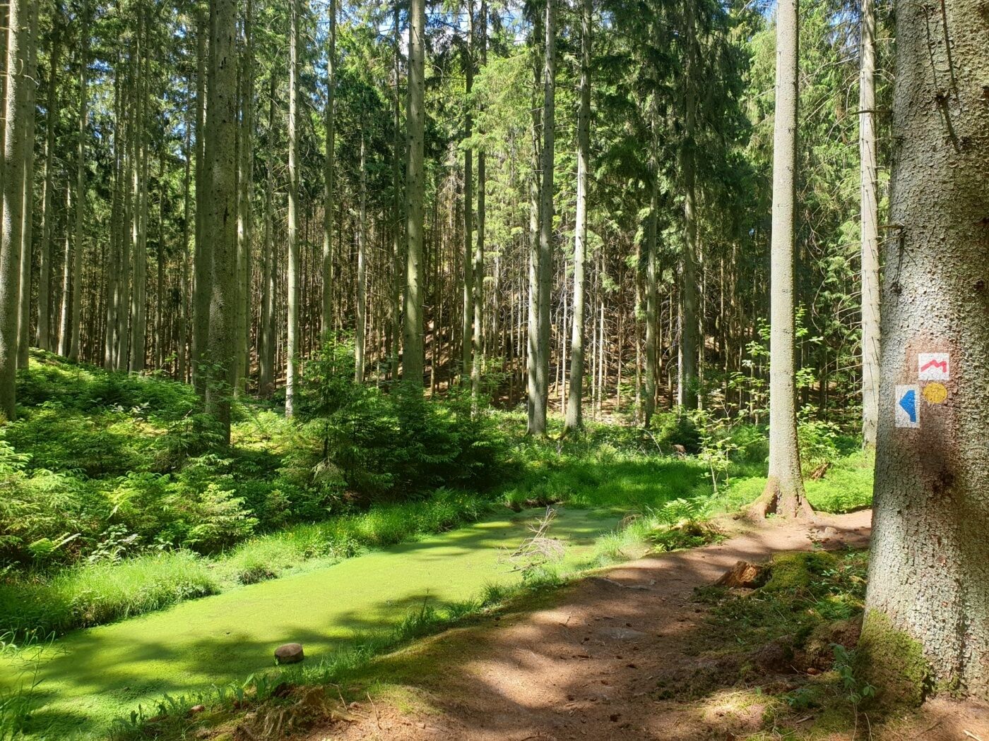
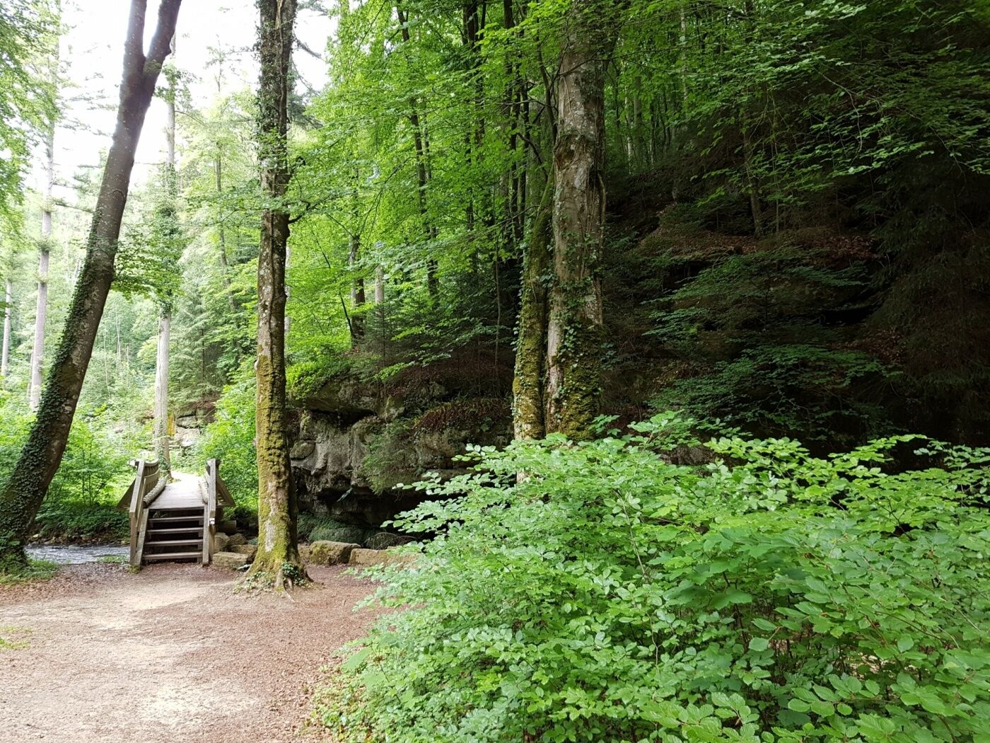
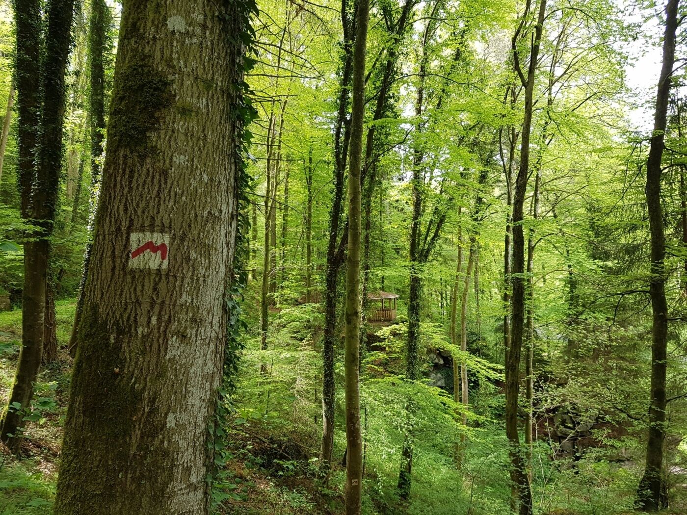
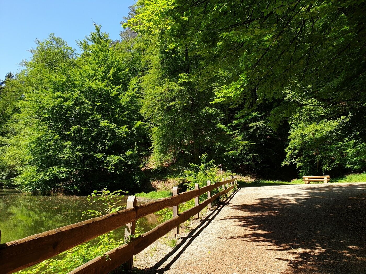
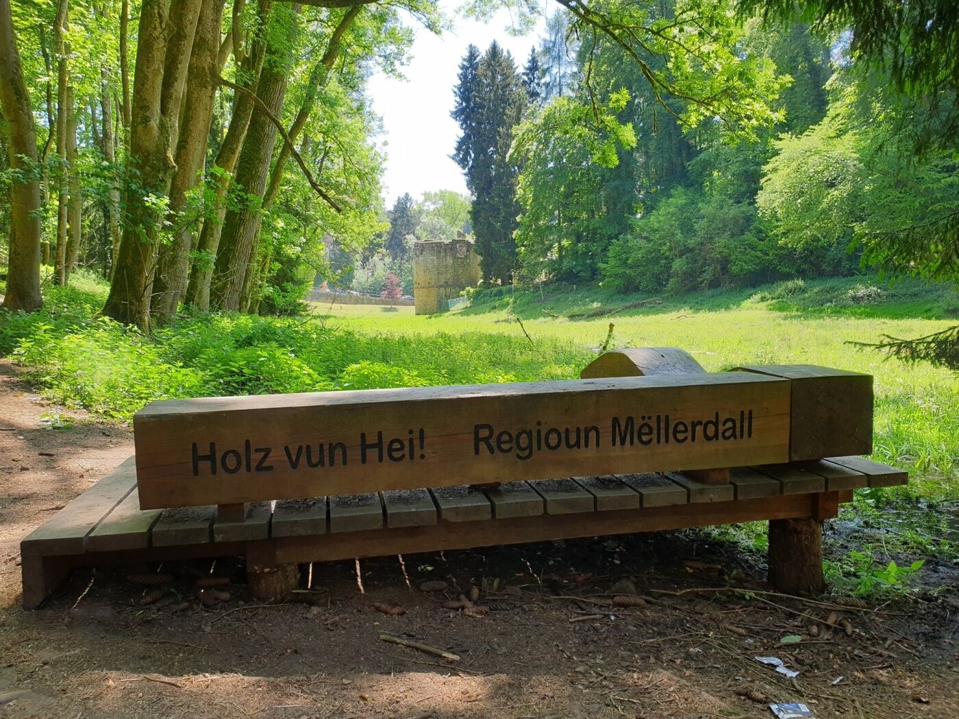
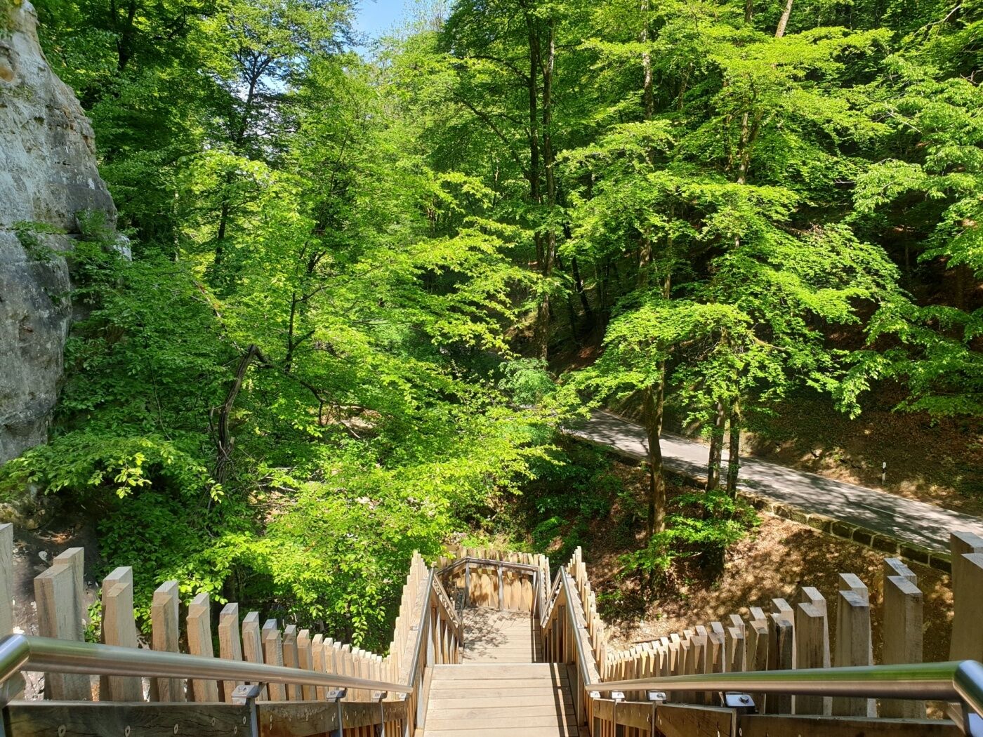
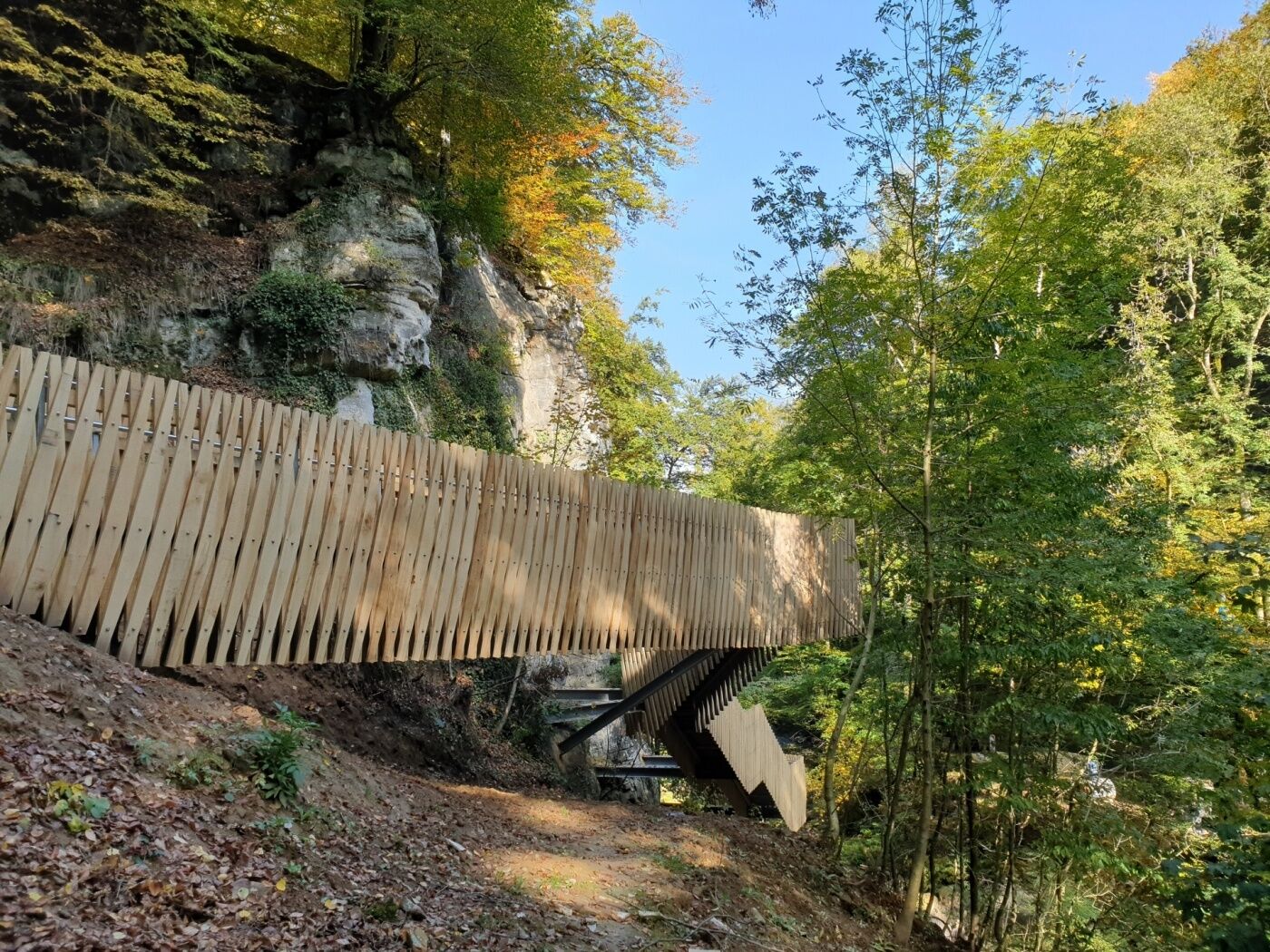
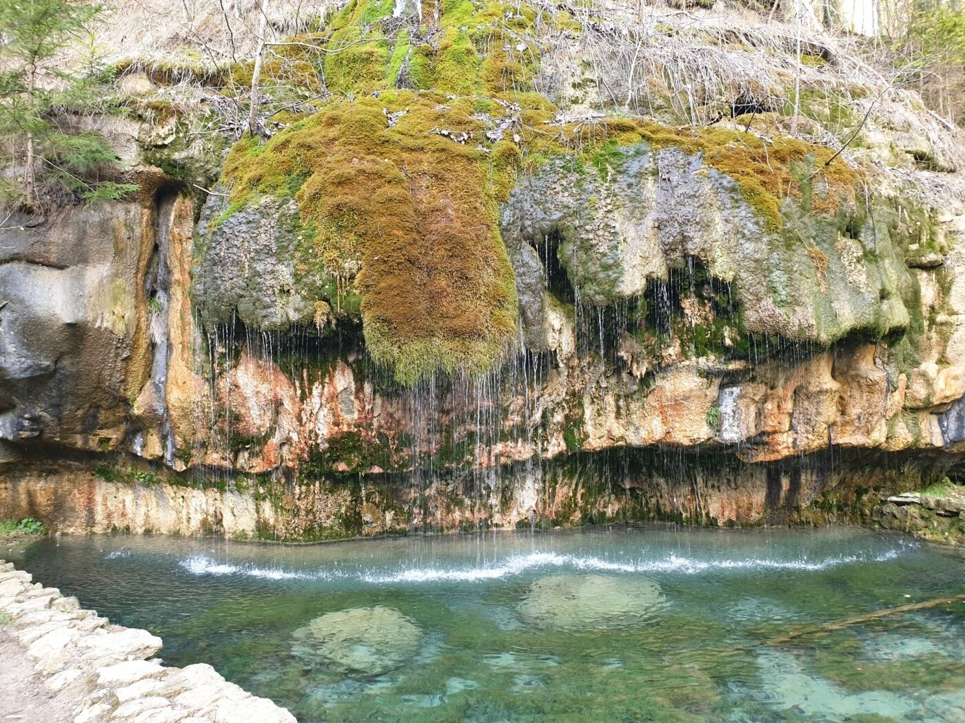
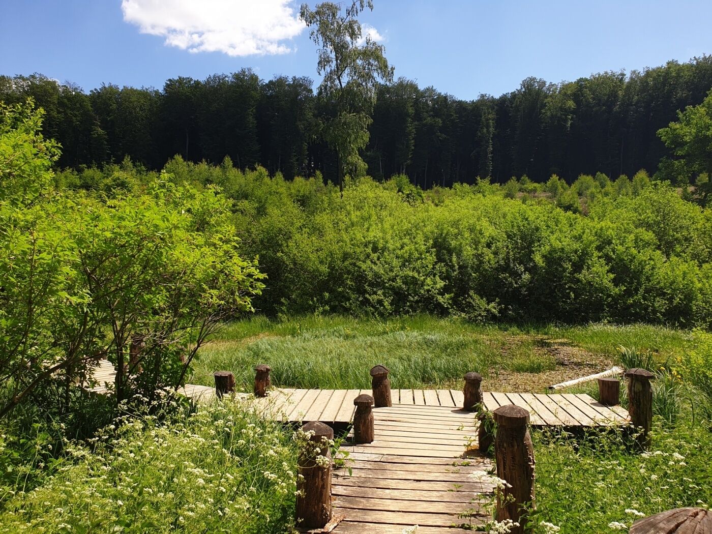
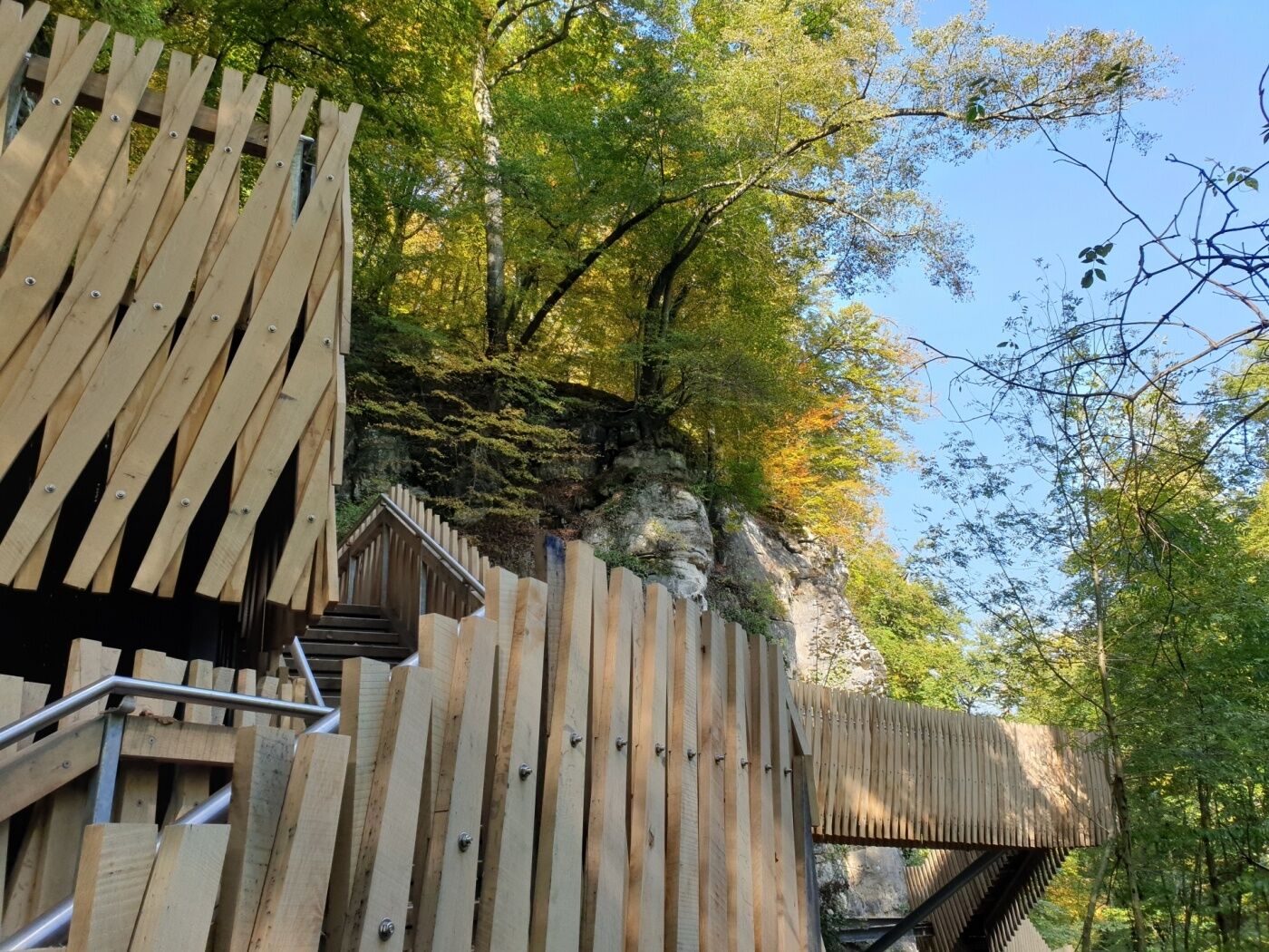
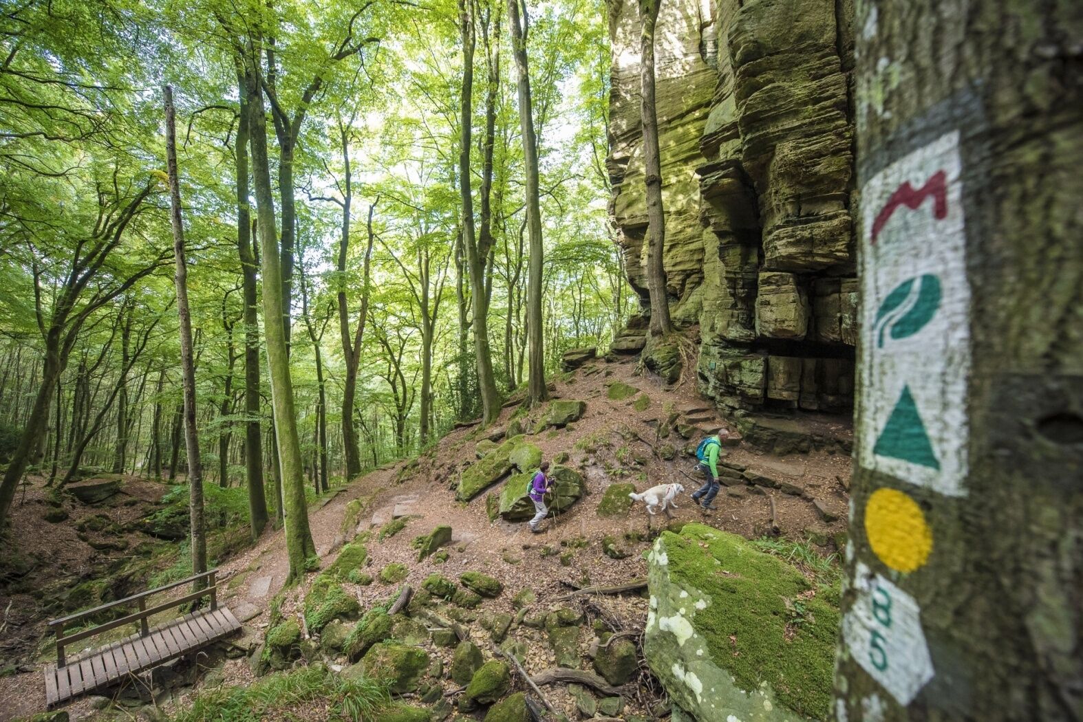
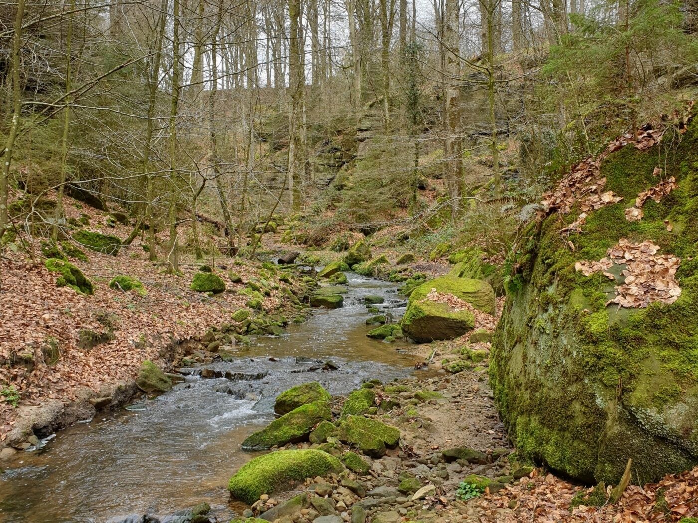
Magical stream valleys, spectacular rocky landscapes and romantic castles characterize Route 3 of the Mullerthal Trail.
- Difficoltà
-
intermedio
- Valutazione
-
- Percorso
-
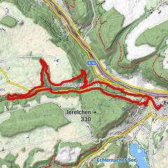
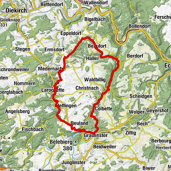
MüllerthalBefort7,9 kmBerens10,0 kmFuertgeshaff13,8 kmReineschhaff14,4 kmFels19,1 kmHimmelsbierg19,3 kmSaint-Donat20,1 kmErnzen22,0 kmSoup22,9 kmBlumenthal28,0 kmGraulinster30,0 kmKallektuffquell34,3 kmCascades du Mullerthal36,5 kmMüllerthal37,7 km
- La stagione migliore
-
genfebmaraprmaggiulugagosetottnovdic
- Punto più alto
- 415 m
- Destinazione
-
Mullerthal - Blumenthal - Larochette - Beaufort
- Profilo altimetrico
-
 © outdooractive.com


- Autore
-
Il tour Mullerthal Trail Route 3 è utilizzato da outdooractive.com fornito.
GPS Downloads


Info generali
Punto di ristoro
Promettente
Altri tour nelle regioni
-
Müllerthal
548
-
Betzdorf
155