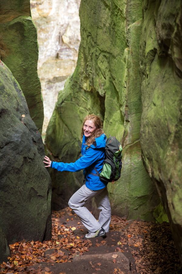
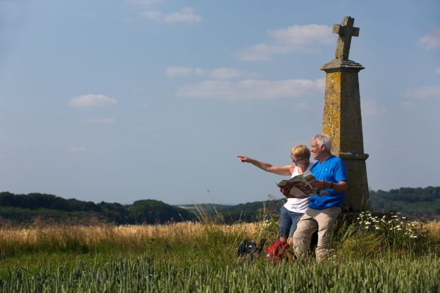
© Tourismusverband Region Mullerthal - Kleine Luxemburger Schweiz - Sandra Bertholet
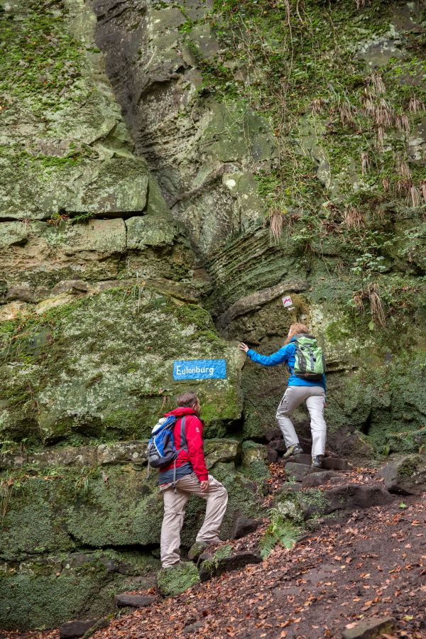
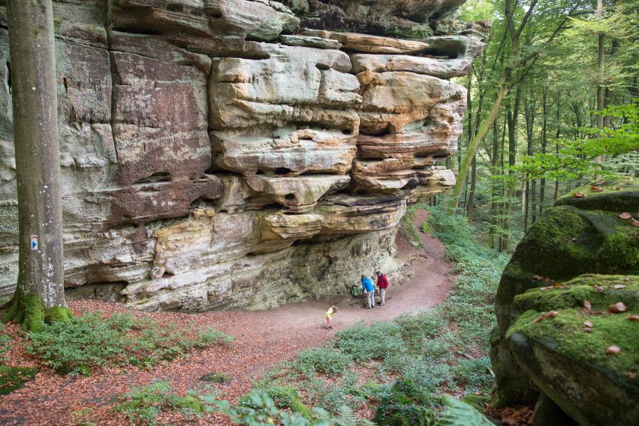
© Tourismusverband Region Mullerthal - Kleine Luxemburger Schweiz - Sandra Bertholet

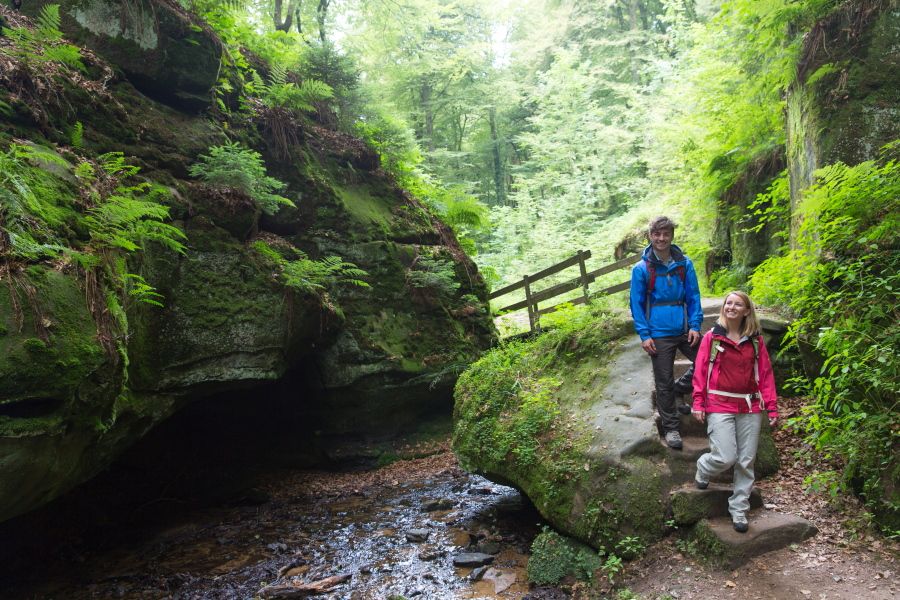
© Tourismusverband Region Mullerthal - Kleine Luxemburger Schweiz - Sandra Bertholet
© Tourismusverband Region Mullerthal - Kleine Luxemburger Schweiz - Sandra Bertholet
© Tourismusverband Region Mullerthal - Kleine Luxemburger Schweiz - Sandra Bertholet
Dati percorsi
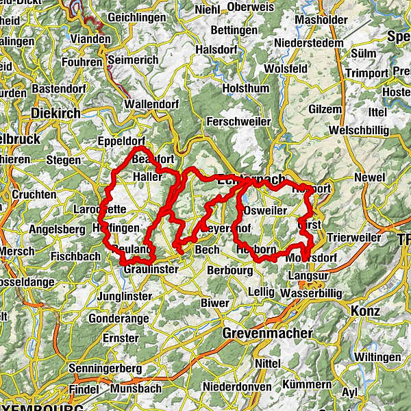
112,41km
155
- 415m
2.262hm
2.192hm
32:40h

- Percorso
-
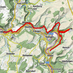
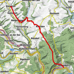
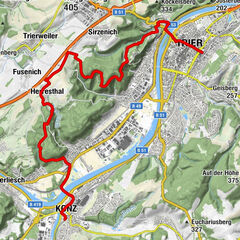
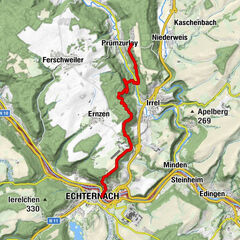
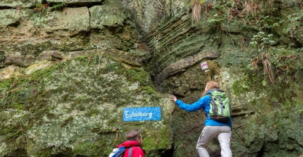
EchternachBasilique Saint-Willibrord0,1 kmEchternacherbrück1,3 kmEdingen6,7 kmRosport8,0 kmSaint-Michel8,1 kmGirsterklaus11,0 kmKapelle zur Muttergottes vum Haselnussstrauch11,1 kmMetzdorf17,4 kmMompach22,0 kmSaint-Remi22,2 kmJakobuskierch26,1 kmHerborn26,1 kmChapelle Notre Dame35,6 kmEchternach36,5 kmop Troo37,9 kmWolfsschlucht38,6 kmDeiwelsschlëff38,8 kmënnert der Laan39,2 kmLabyrinth40,3 kmMaria42,1 kmBerdorf43,1 kmSaint-Jean43,1 kmDie Hölle44,3 kmGrotte St Jean47,6 kmCave of the Celts47,9 kmLe Cigalon49,1 kmMüllerthal49,3 kmHeringer Millen49,5 kmCascades du Mullerthal50,4 kmKallektuffquell52,5 kmGraulinster56,8 kmBlumenthal59,0 kmSoup64,7 kmErnzen65,5 kmSaint-Donat67,4 kmFels68,2 kmHimmelsbierg68,2 kmReineschhaff73,0 kmFuertgeshaff73,4 kmBerens77,3 kmBefort79,6 kmMüllerthal87,4 kmHeringer Millen87,6 kmCascades du Mullerthal88,6 kmEulenburg89,3 kmGoldfralay Felsformation90,4 kmFelsspalte Kohlscheuer93,3 kmAltrier95,8 kmHersberg96,5 kmMichels Kirche99,9 kmBiedebaach101,4 kmScheidgen104,1 kmThe Grill104,3 kmLauterborn108,8 kmMelickshof110,0 kmEchternach112,0 km
- Punto più alto
- 415 m
- Destinazione
-
Echternach
- Profilo altimetrico
-
 © outdooractive.com
- Autore
-
Il tour Mullerthal Trail è utilizzato da outdooractive.com fornito.
GPS Downloads
Altri tour nelle regioni
-
Müllerthal
548
-
Betzdorf
154