© EVAdinarica Project - EVA dinarica
© EVAdinarica Project - EVA dinarica
© EVAdinarica Project

- Descrizione rapida
-
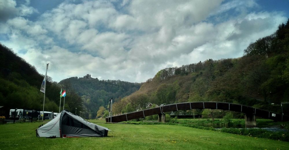
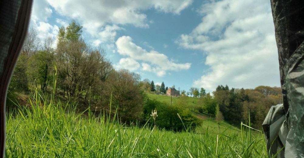
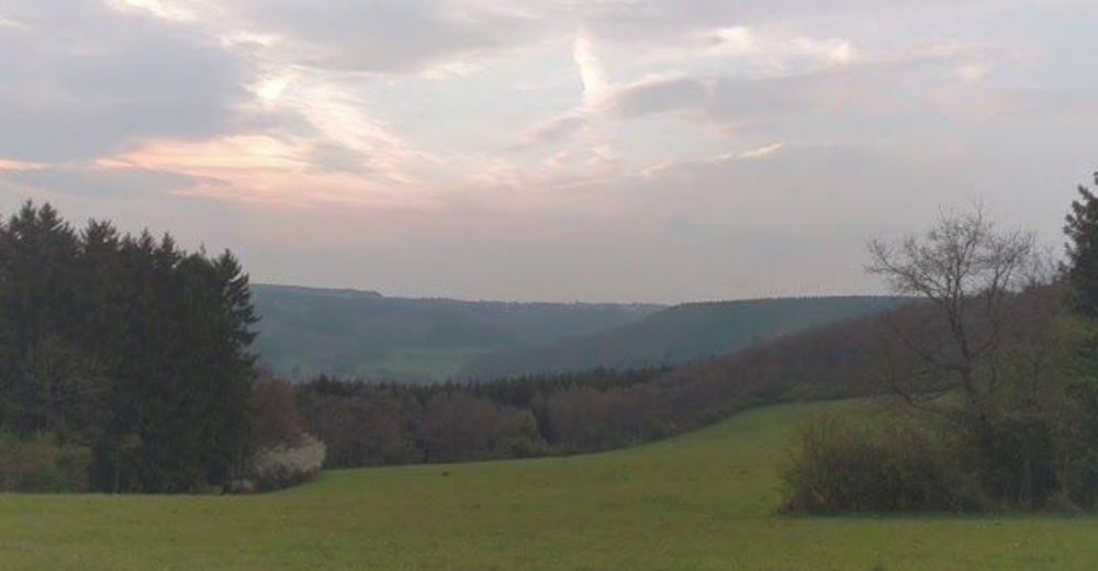
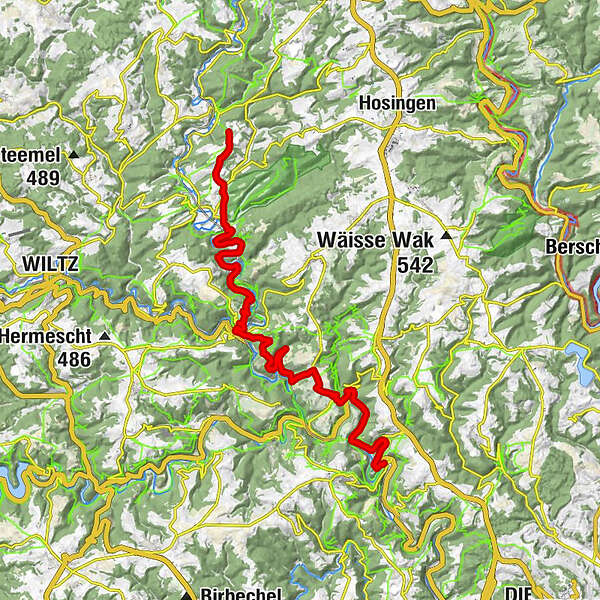
Stage 13 of the GR 57 Vallée de l'Ourthe et Sentier du Nord
- Difficoltà
-
facile
- Valutazione
-
- Percorso
-
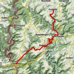
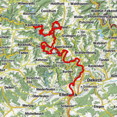
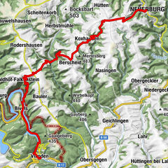
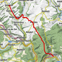
Pintsch2,2 kmSankt Maximin2,3 kmLellingen3,5 kmChapelle Saint-Pierre3,5 kmAlscheid7,3 kmKautenbach11,3 kmHuberty11,4 kmSaint-Bernard11,8 kmHoflee16,7 kmPoint de vue "Hoflee"17,2 kmSchlindermanderscheid19,5 kmUnterschlinder20,7 kmLipperscheid24,4 km
- La stagione migliore
-
genfebmaraprmaggiulugagosetottnovdic
- Punto più alto
- 454 m
- Profilo altimetrico
-
 © outdooractive.com

-

-
AutoreIl tour GR 57: Drauffelt - Lipperscheid (day 36) è utilizzato da outdooractive.com fornito.
GPS Downloads


Altri tour nelle regioni