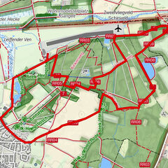


Dati percorsi
13,43km
77
- 150m
213hm
213hm
02:28h
- Difficoltà
-
facile
- Valutazione
-
- Percorso
-
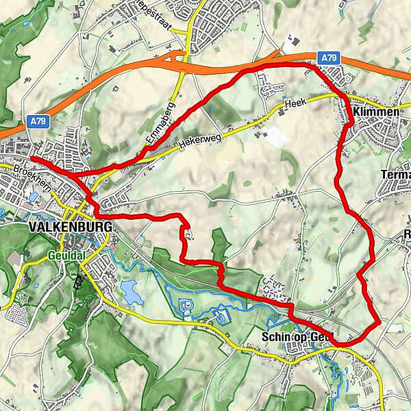
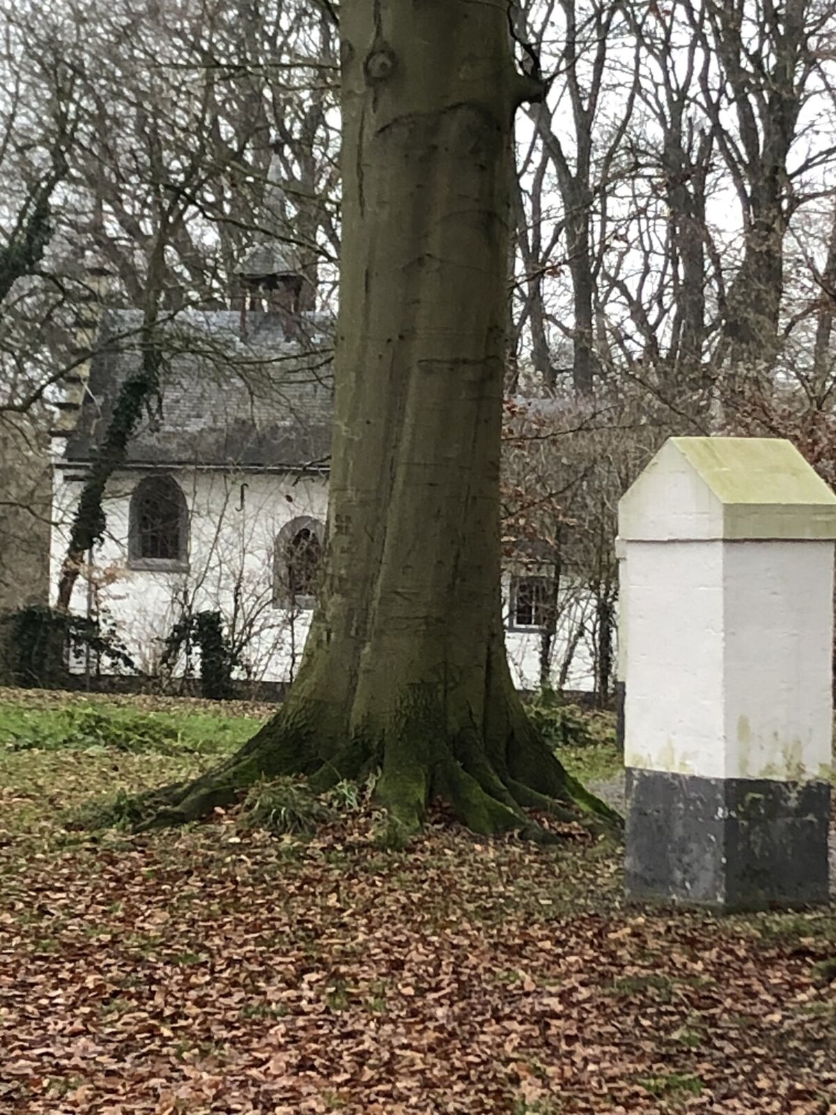
BroekhemStoepert0,4 kmFalkenburg0,7 kmFalkenburg1,2 kmkruisweg op de Schaelsberg3,4 kmKluis op de Schaelsberg3,4 kmSchin op Geul4,7 kmSint-Mauritiuskerk4,8 kmBevrijdingskapel5,4 kmOpscheumer6,5 kmKoulen7,3 kmDolberg8,3 kmKlimmen8,6 kmOverheek9,2 kmEmmaberg11,7 kmFalkenburg12,9 kmBroekhem13,4 km
- La stagione migliore
-
genfebmaraprmaggiulugagosetottnovdic
- Punto più alto
- 150 m


GPS Downloads


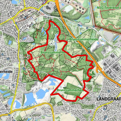
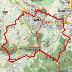
Altri tour nelle regioni
-
Limburg - Flandern
41
-
Heerlen
48