

© Terra Dinarica - Alan Čaplar

© Terra Dinarica - Alan Čaplar

© Terra Dinarica - Alan Čaplar

© Terra Dinarica - Alan Čaplar

© Terra Dinarica - Alan Čaplar

- Descrizione rapida
-
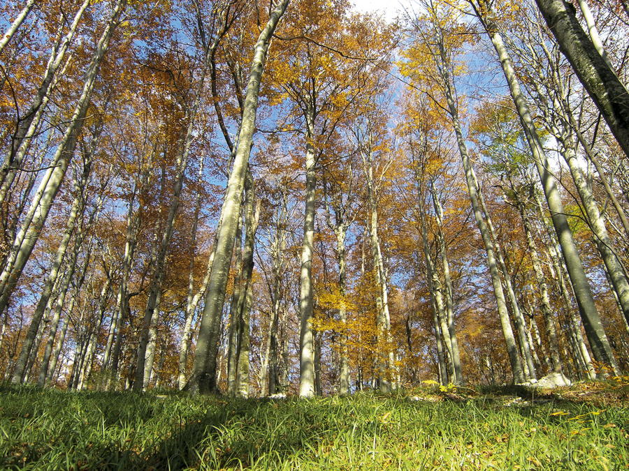
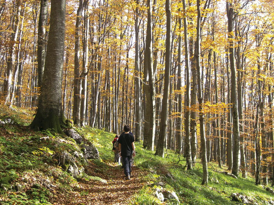
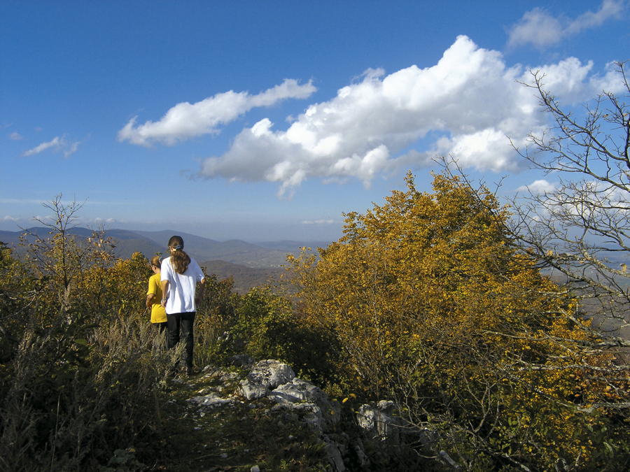
In the far eastern part of the region of Lika, there is no suitable tourism and excursion infrastructure that would allow for a tour of the Via Dinarica Green Line in a classical hiking manner, with the exception of a limited area in the immediate vicinity of Plitvice Lakes.
- Difficoltà
-
intermedio
- Valutazione
-
- Percorso
-
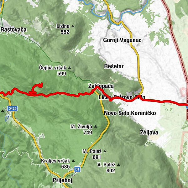
Plitvička JezeraMedvjeđak oštri4,7 kmZaklopača11,5 kmLičko Petrovo Selo13,1 km
- La stagione migliore
-
genfebmaraprmaggiulugagosetottnovdic
- Punto più alto
- 878 m
- Destinazione
-
Granički prijelaz Ličko Petrovo Selo - Izačić
- Profilo altimetrico
-
 © outdooractive.com

-

-
AutoreIl tour Via Dinarica HR-G-08 Eastern Lika è utilizzato da outdooractive.com fornito.

