
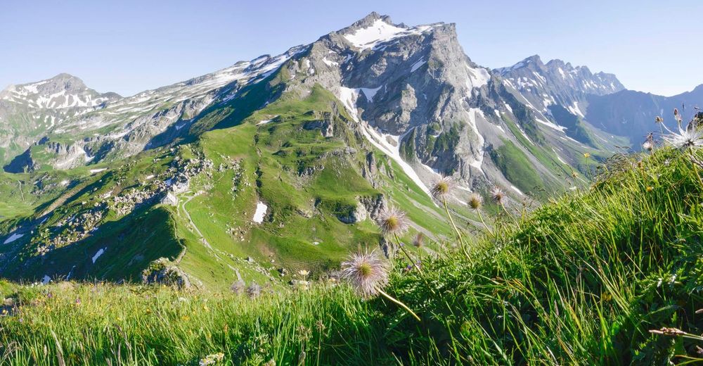

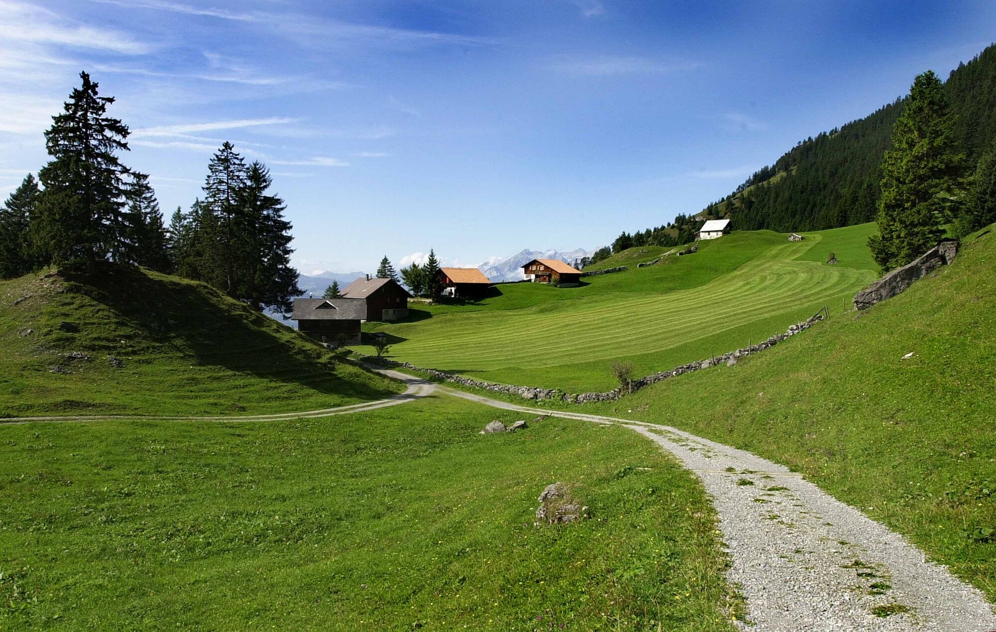
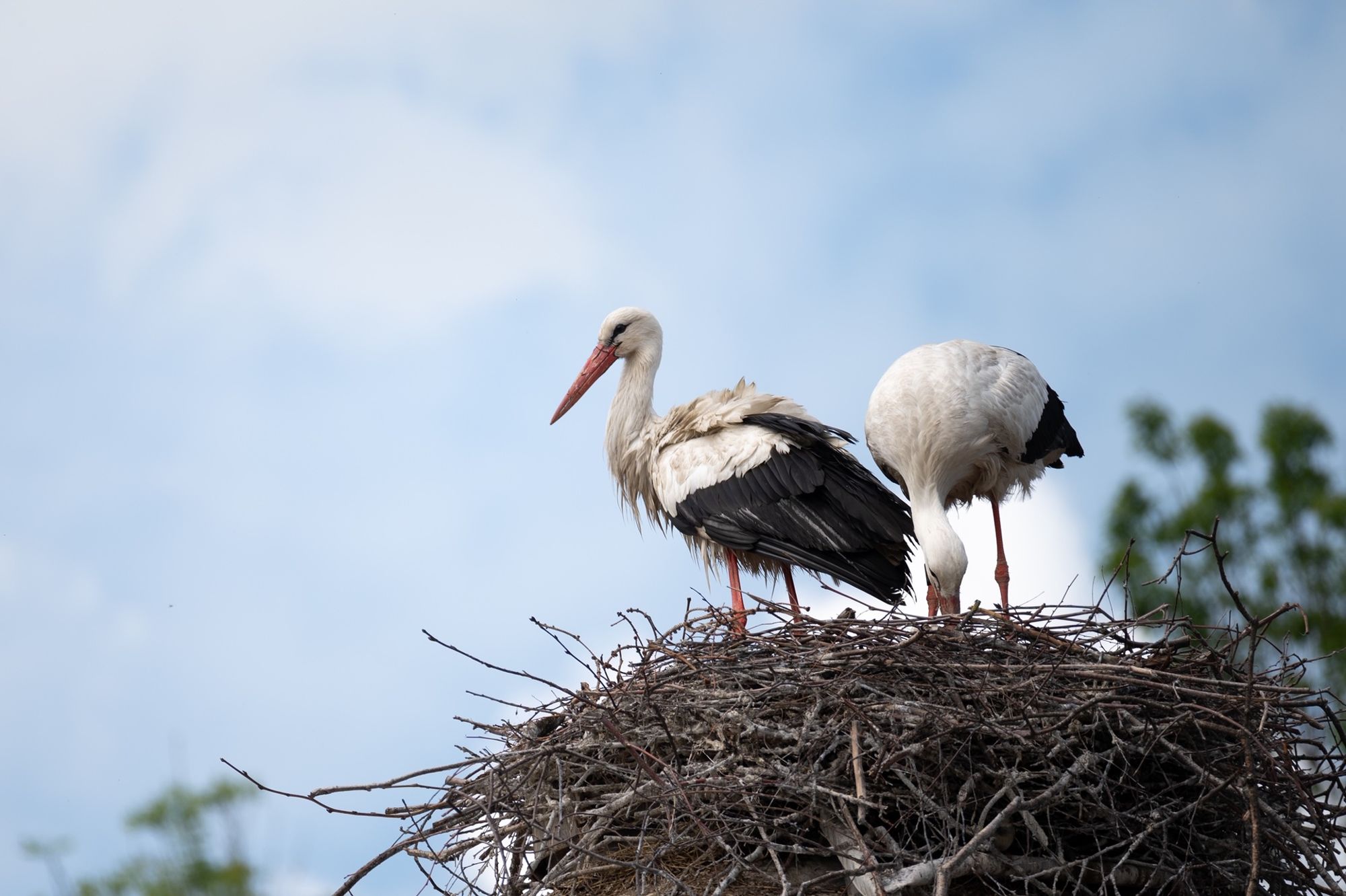
© Liechtenstein Marketing - Nicole Thöny


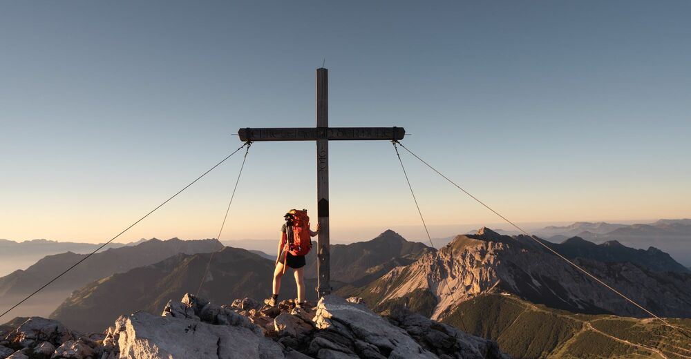
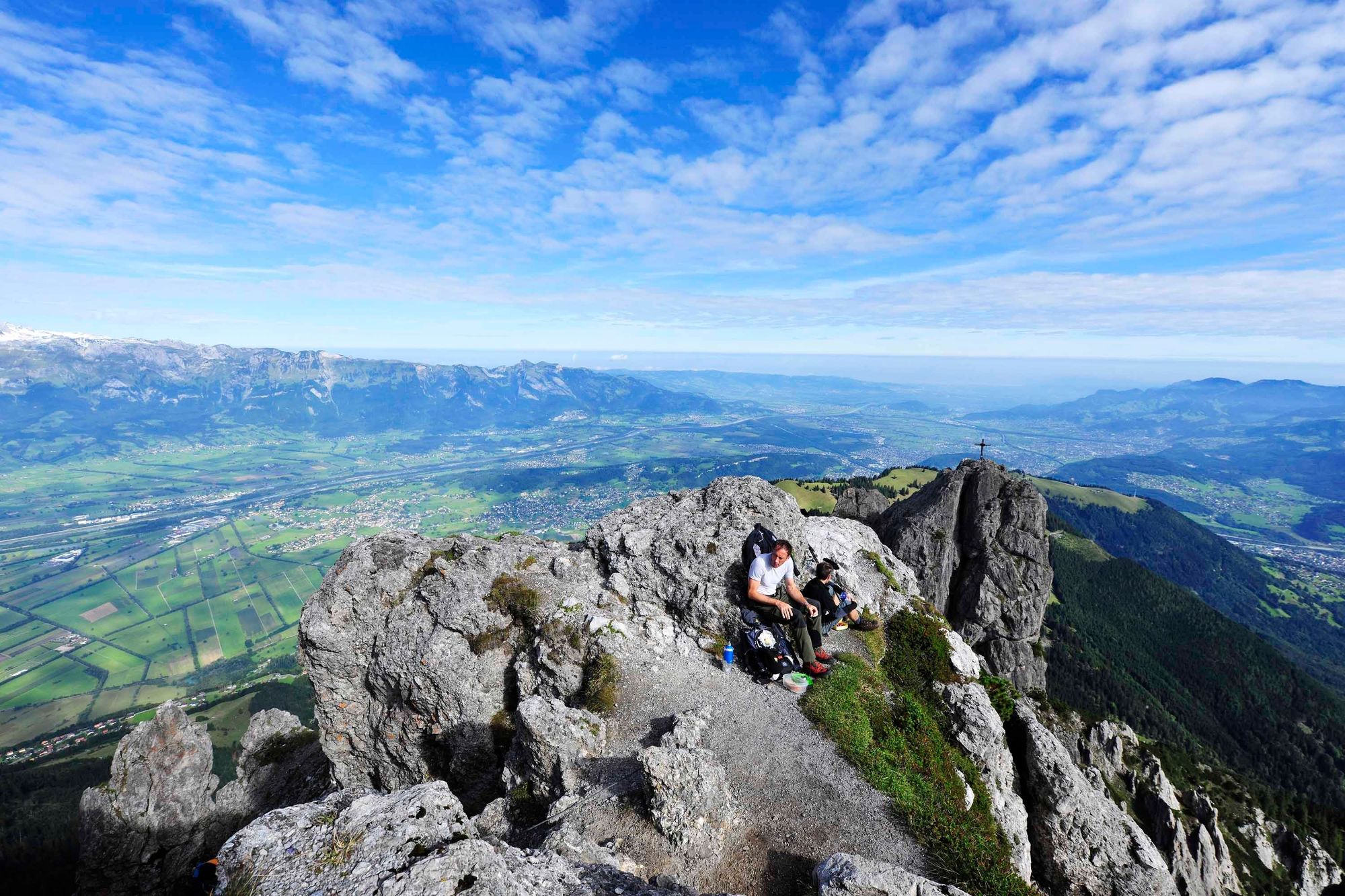
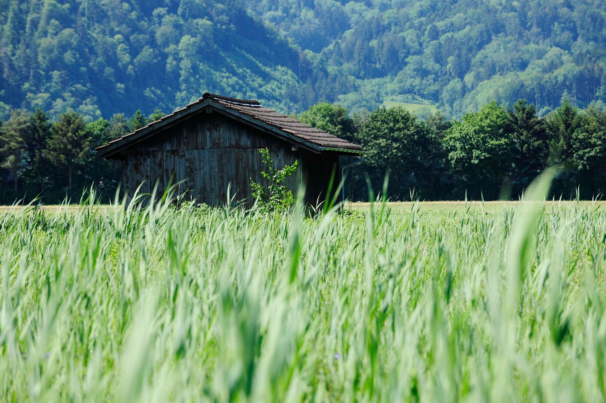
© Liechtenstein Marketing - Martin Knöpfel


- Descrizione rapida
-
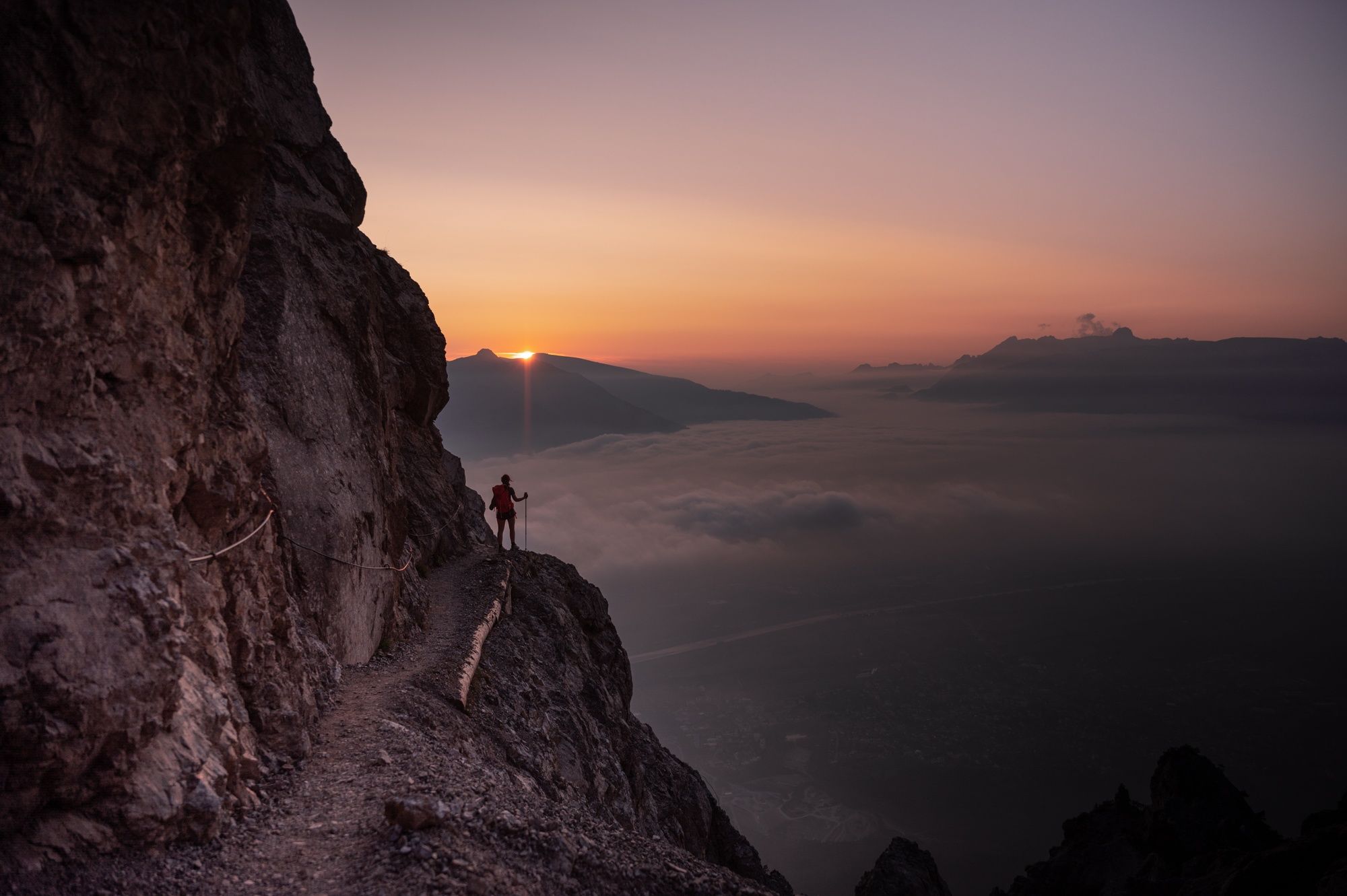
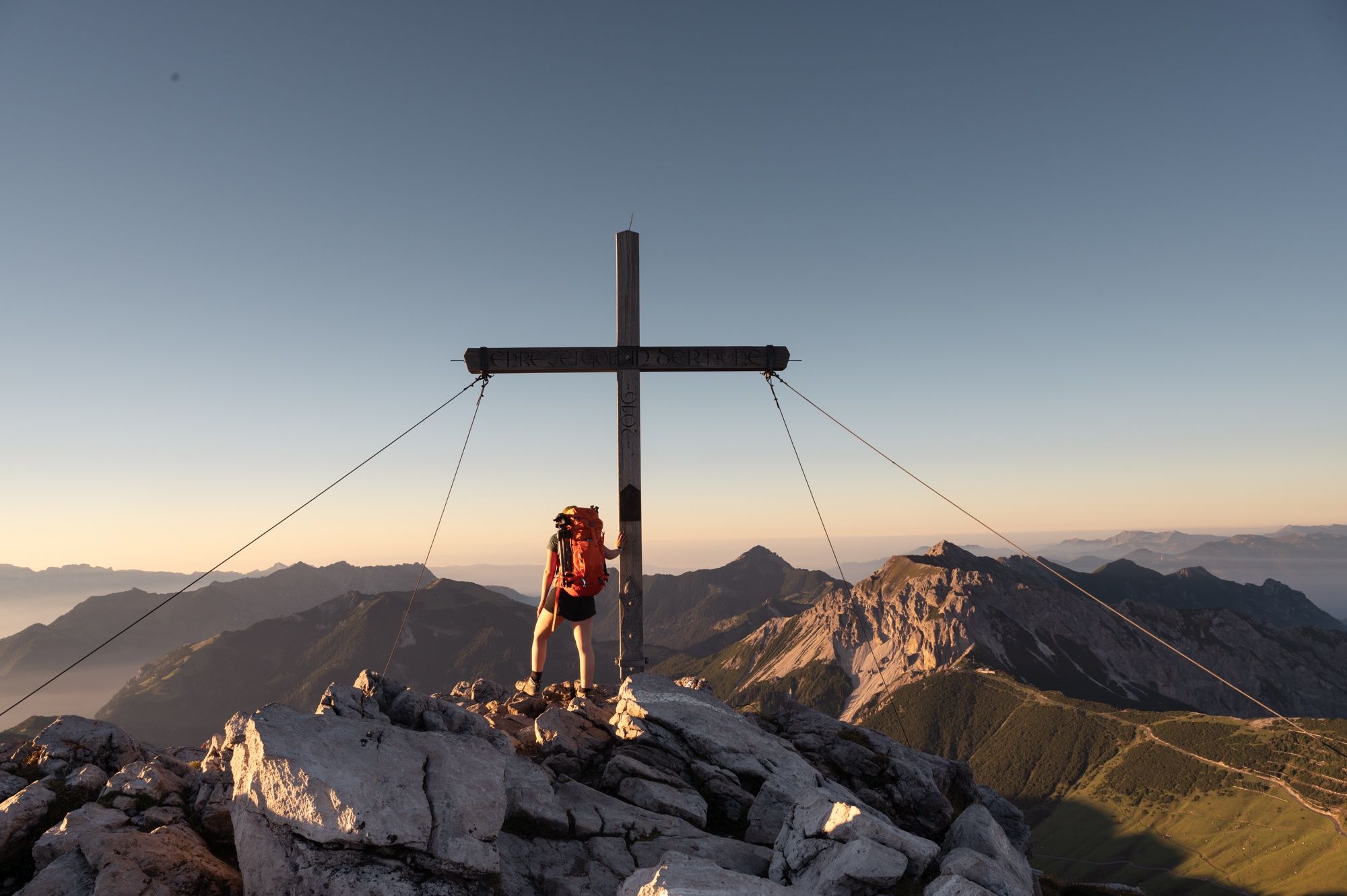
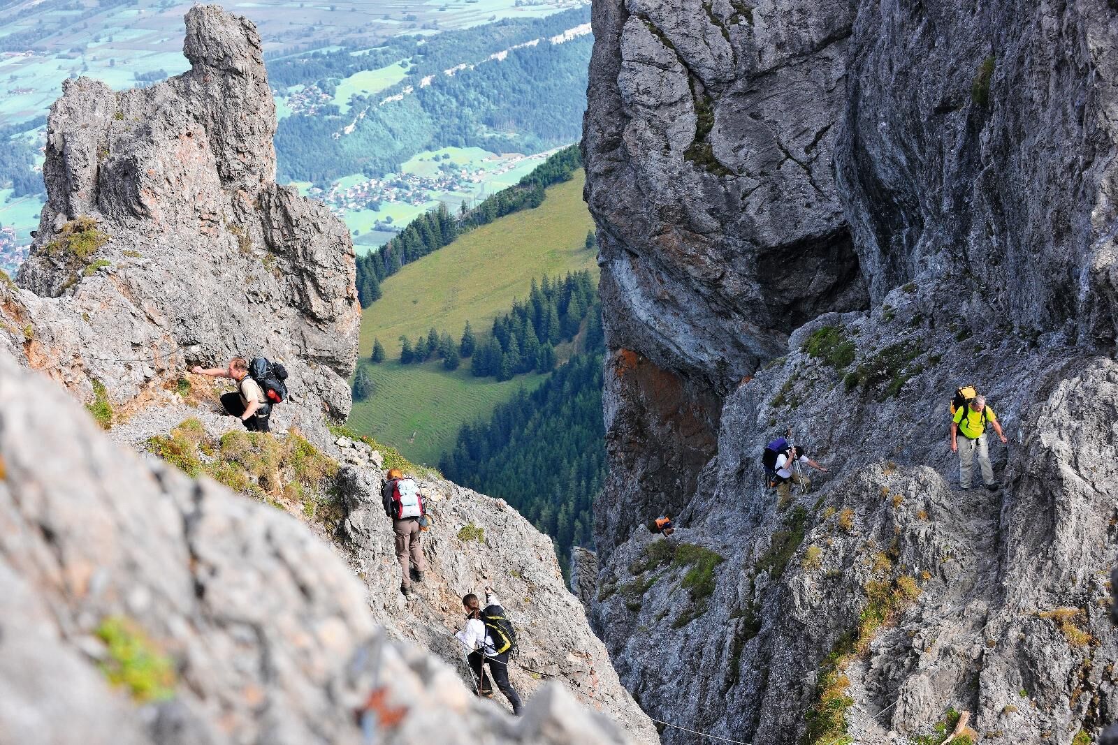
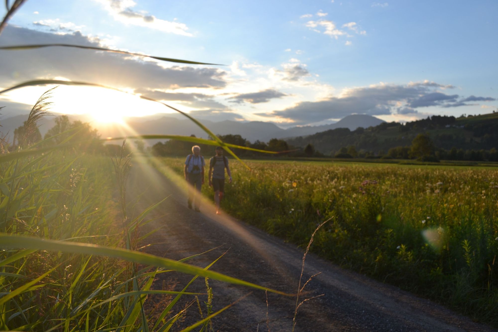
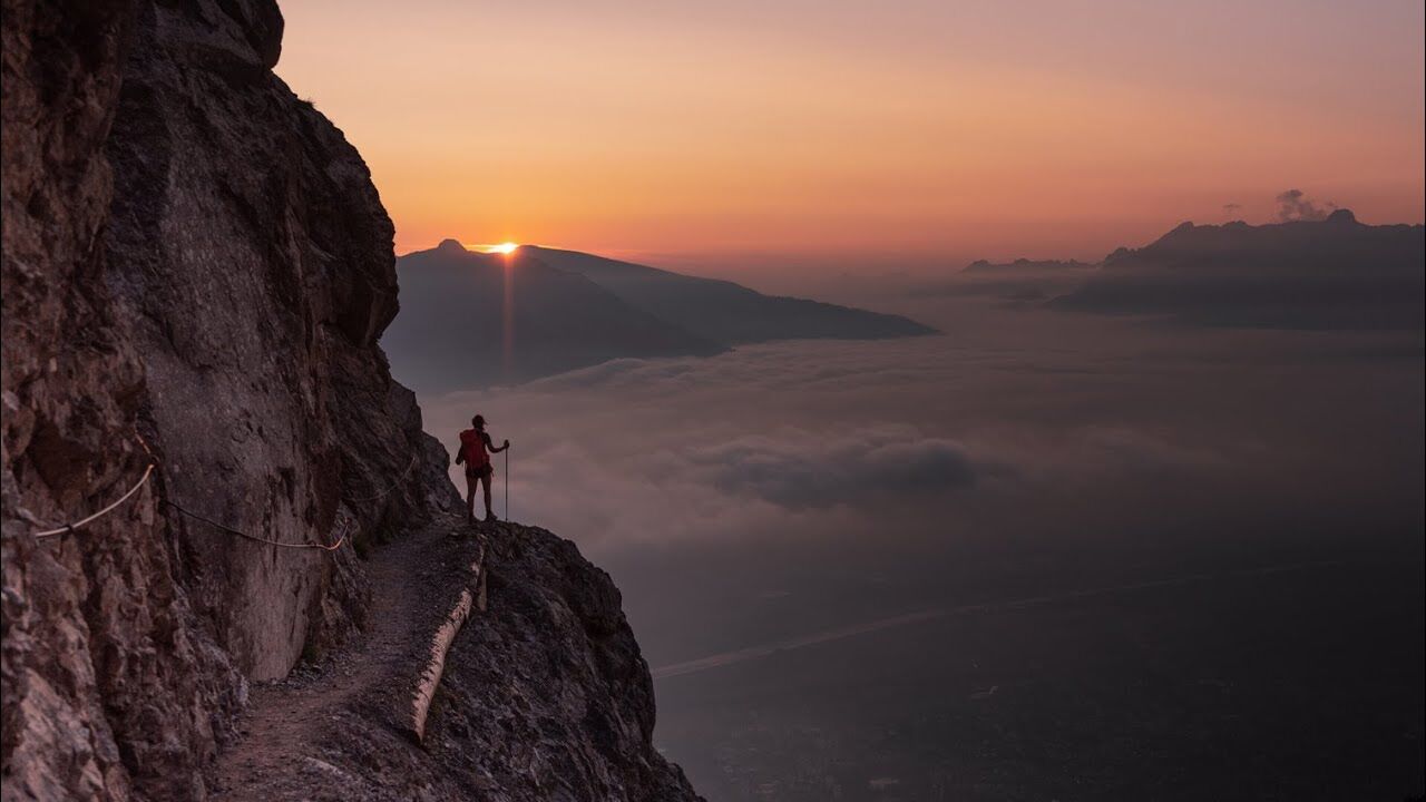
Classic high-level trail with ridge hike and panoramic-experience summits, leads from Malbun to Ruggell.
- Difficoltà
-
difficile
- Valutazione
-
- Percorso
-
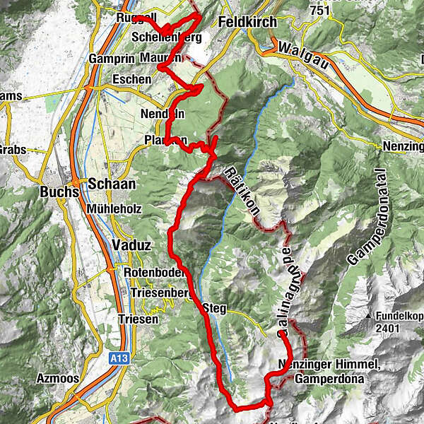
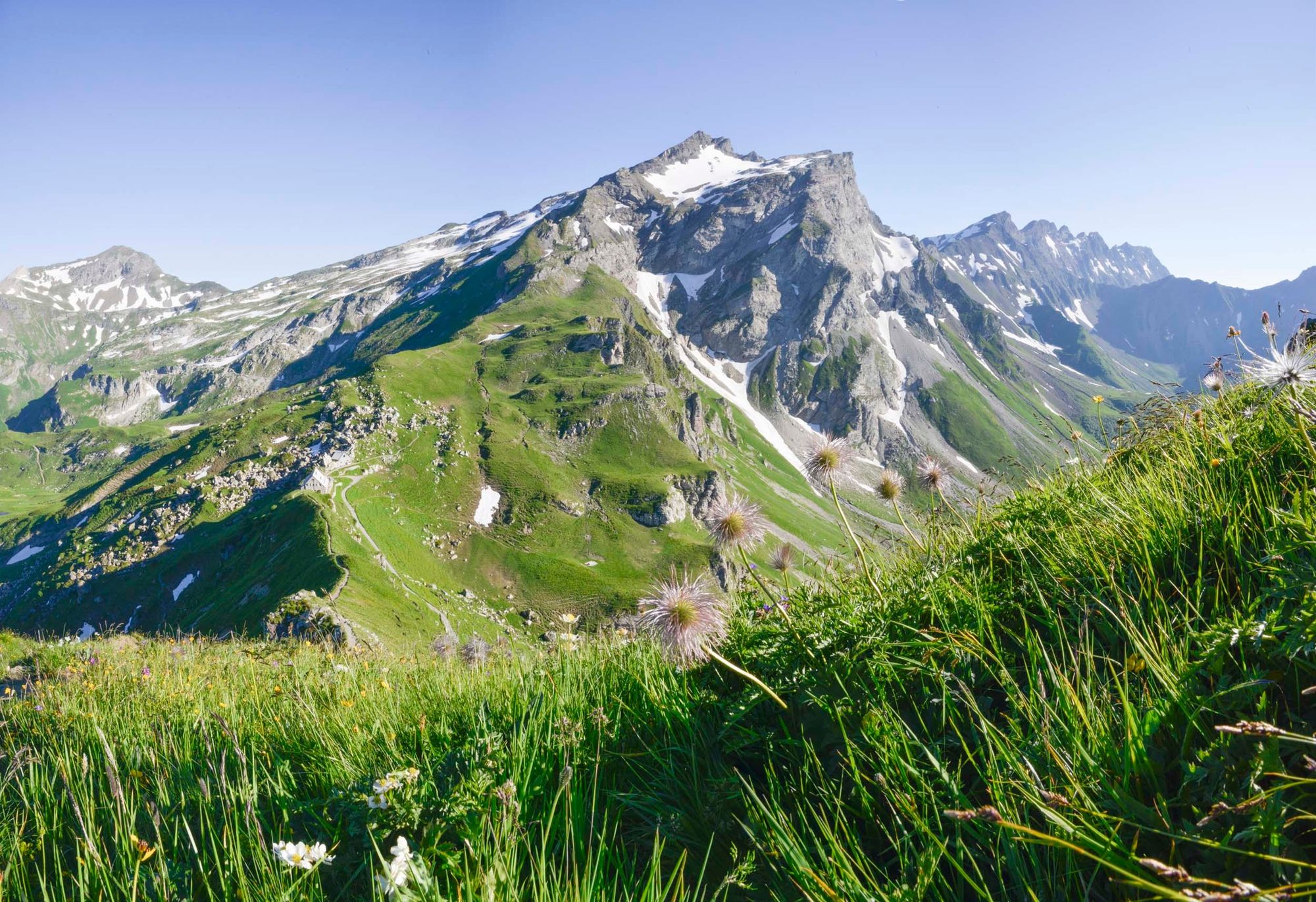
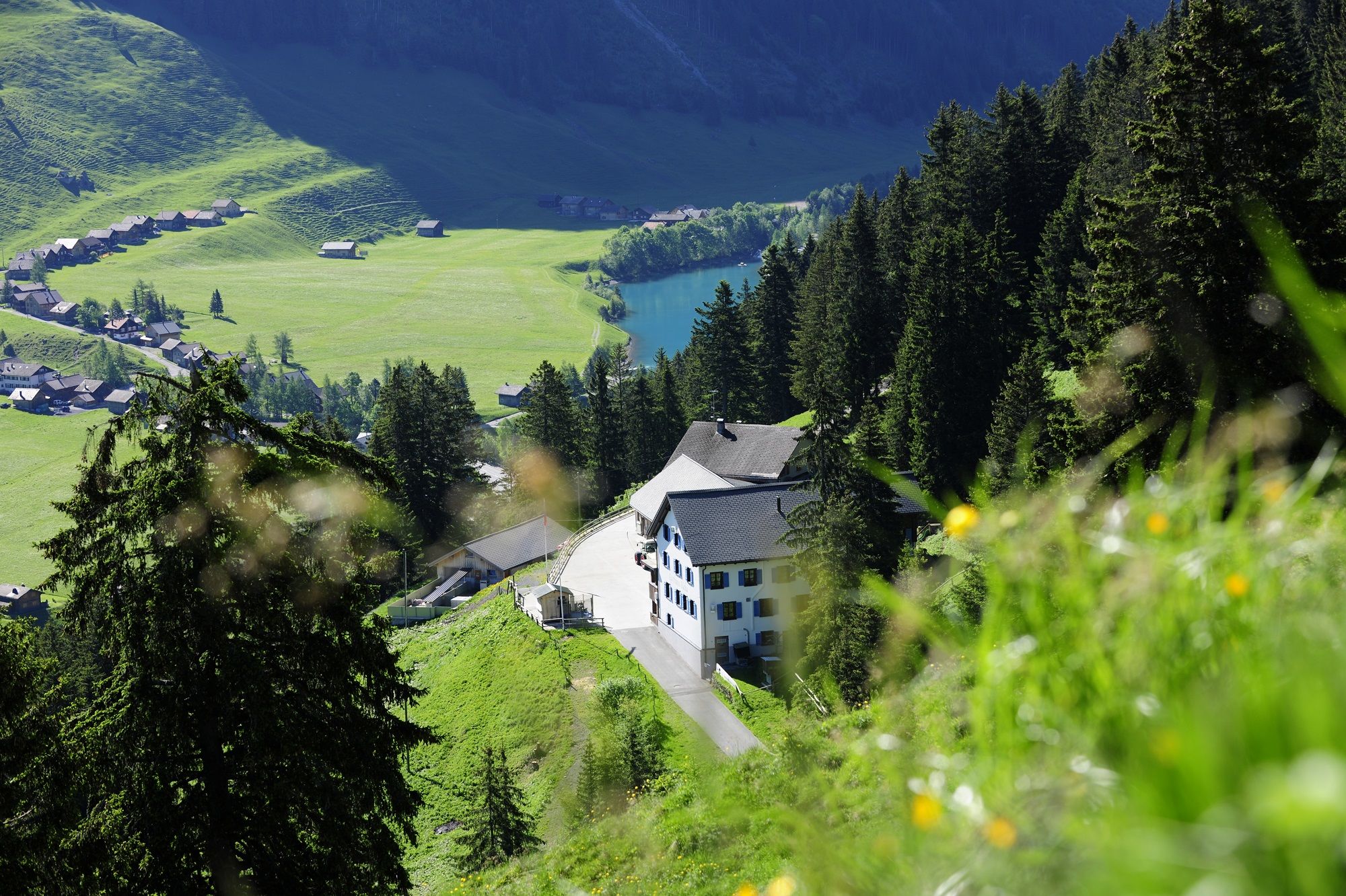
Bergrestaurant Sareis0,0 kmSpitz (2.187 m)1,9 kmAugstenberg (2.359 m)3,2 kmPfälzerhütte4,7 kmSteg12,4 kmWisli12,9 kmSilum15,4 kmKuhgrat (2.122 m)20,8 kmGarsellikopf (2.104 m)21,4 kmDrei Schwestern (2.051 m)22,8 kmJahnturm (2.034 m)23,0 kmWolan (2.034 m)23,0 kmGafadurahütte30,3 kmPlanken (786 m)33,2 kmNendeln34,7 kmGasthaus zum Hirschen40,5 kmMauren (453 m)40,6 kmGasthaus Weinlaube42,7 kmHinterer Gantenstein (695 m)43,6 kmEschnerberg (697 m)44,0 kmFeldkirch44,0 kmWirtschaft zum Löwen44,8 kmHinterschellenberg45,0 kmSankt Georg45,2 kmSchellenberg (626 m)46,8 kmRuggell (433 m)49,6 km
- La stagione migliore
-
genfebmaraprmaggiulugagosetottnovdic
- Punto più alto
- 2.353 m
- Destinazione
-
Ruggell
- Profilo altimetrico
-
 © outdooractive.com


-

-
AutoreIl tour Liechtenstein panorama trail è utilizzato da outdooractive.com fornito.
GPS Downloads


Info generali
Punto di ristoro
Flora
Promettente
Altri tour nelle regioni
-
Heidiland
2201
-
Liechtenstein
1289
-
Planken
316


