


© Outdooractive – 3D Videos


© Fürstentum Liechtenstein


- Descrizione rapida
-
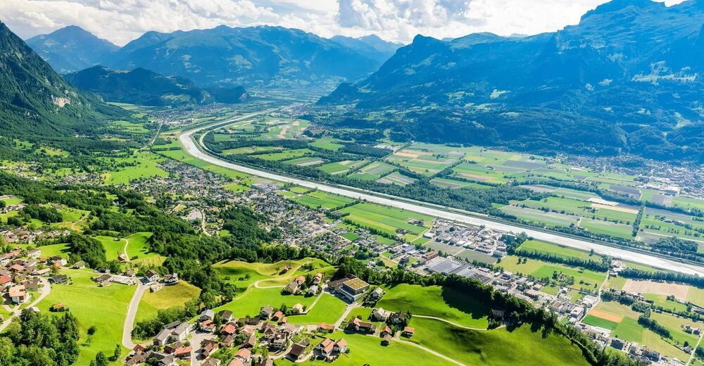
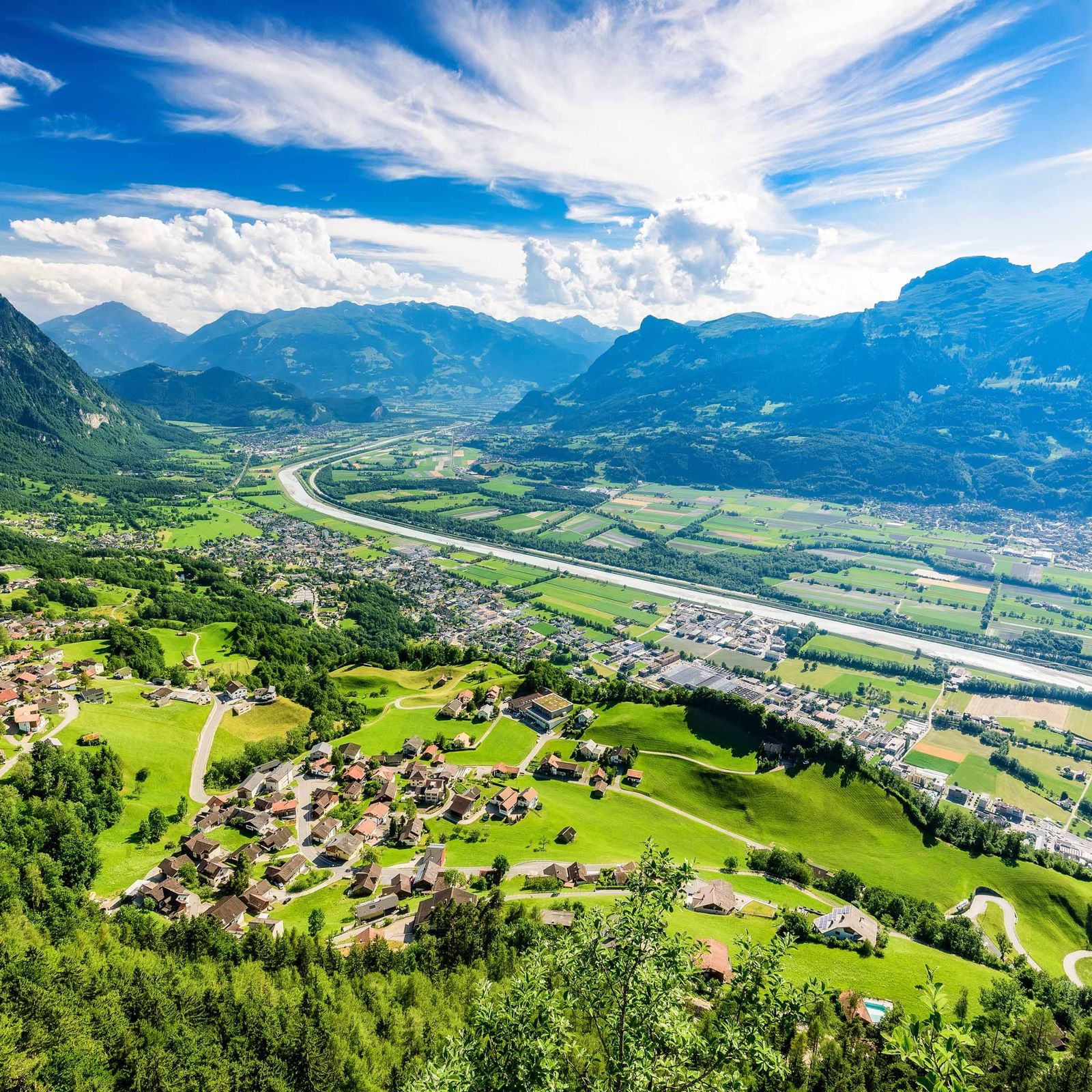
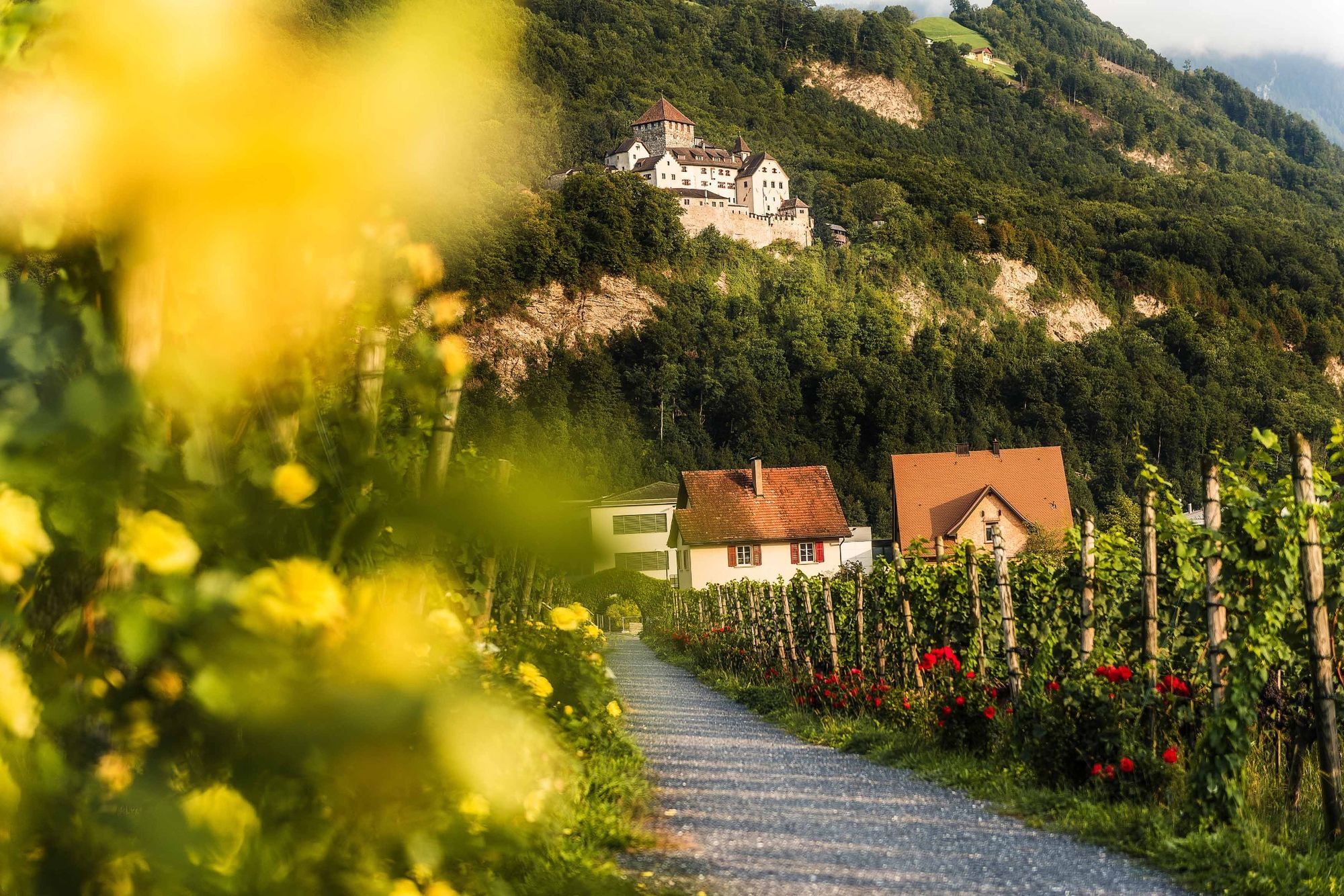
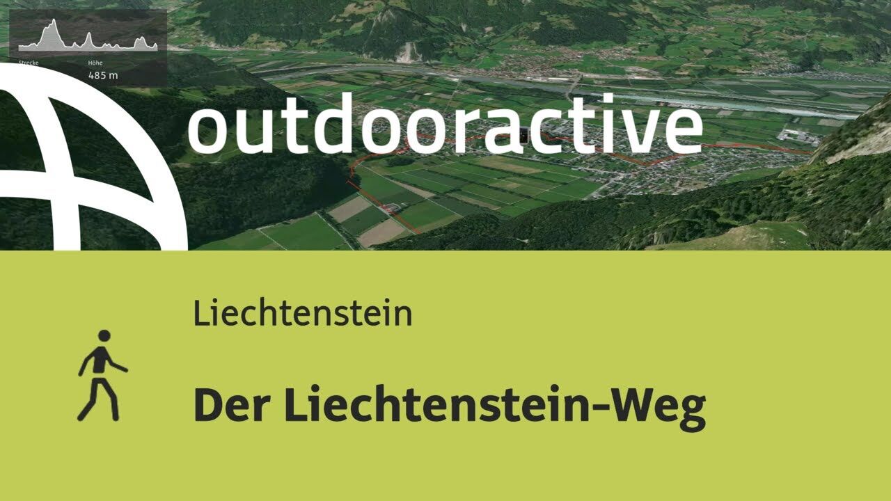
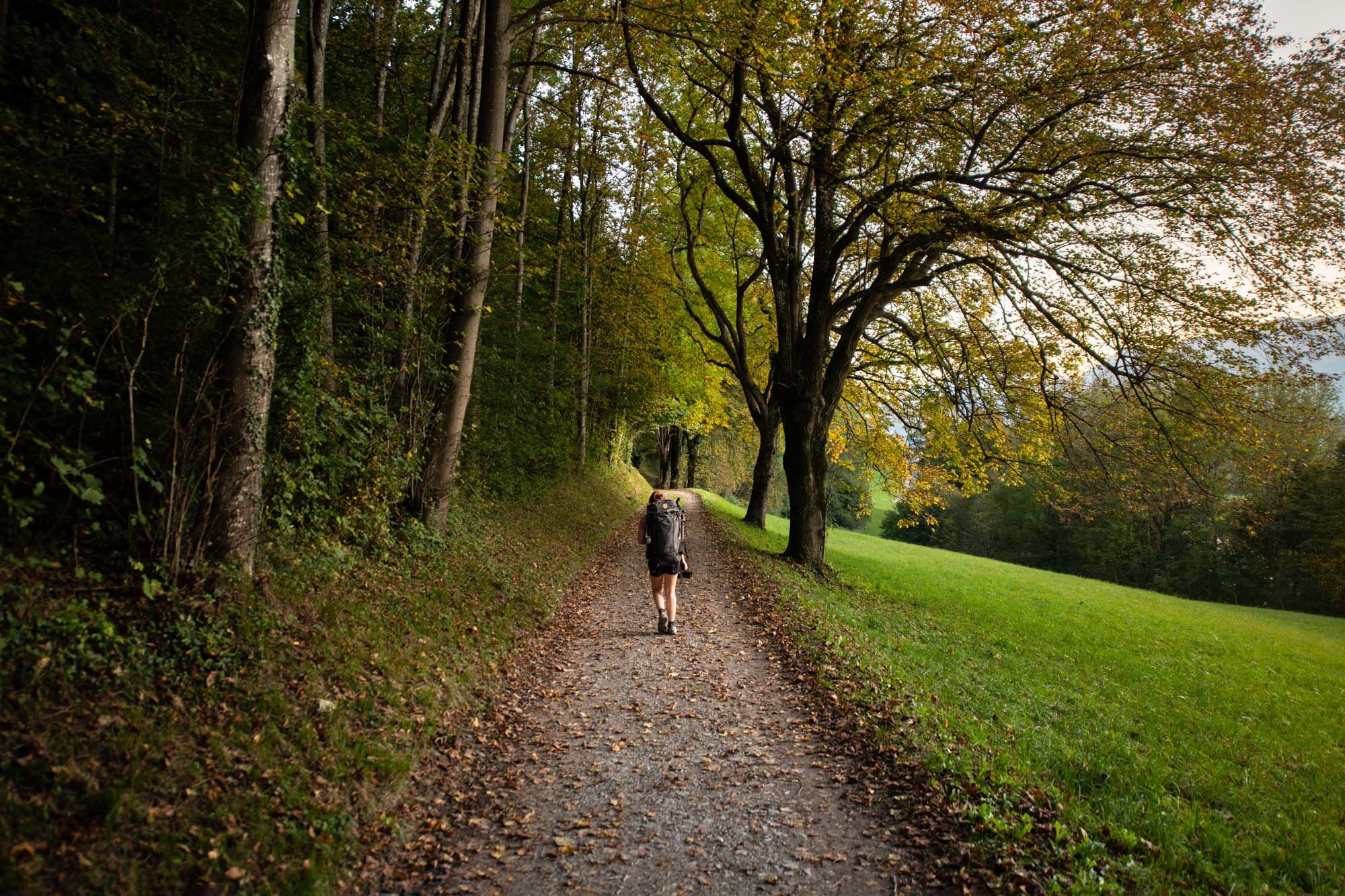
The Liechtenstein Trail connects all of Liechtenstein's municipalities and gives hikers a detailed insight into the landscape and culture of the country.
- Difficoltà
-
intermedio
- Valutazione
-
- Percorso
-
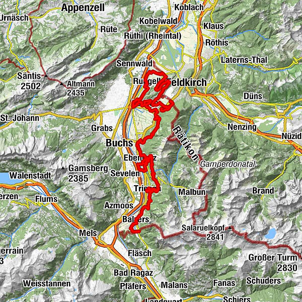
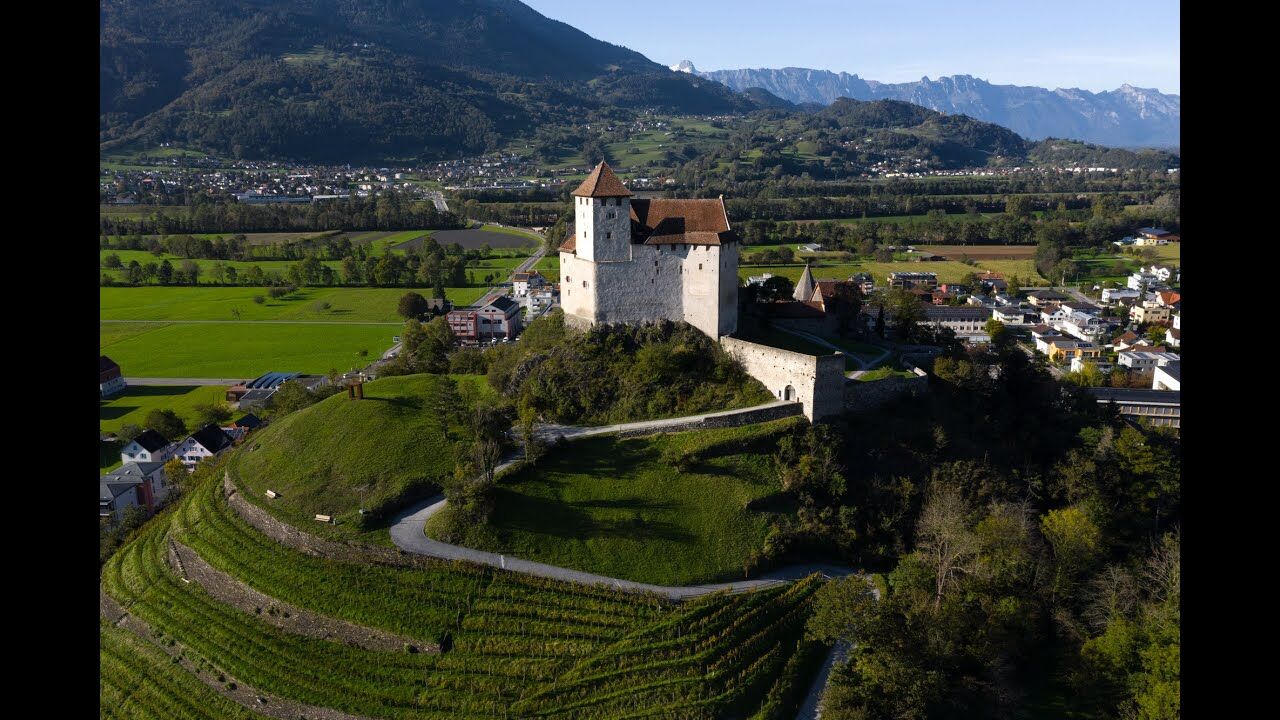
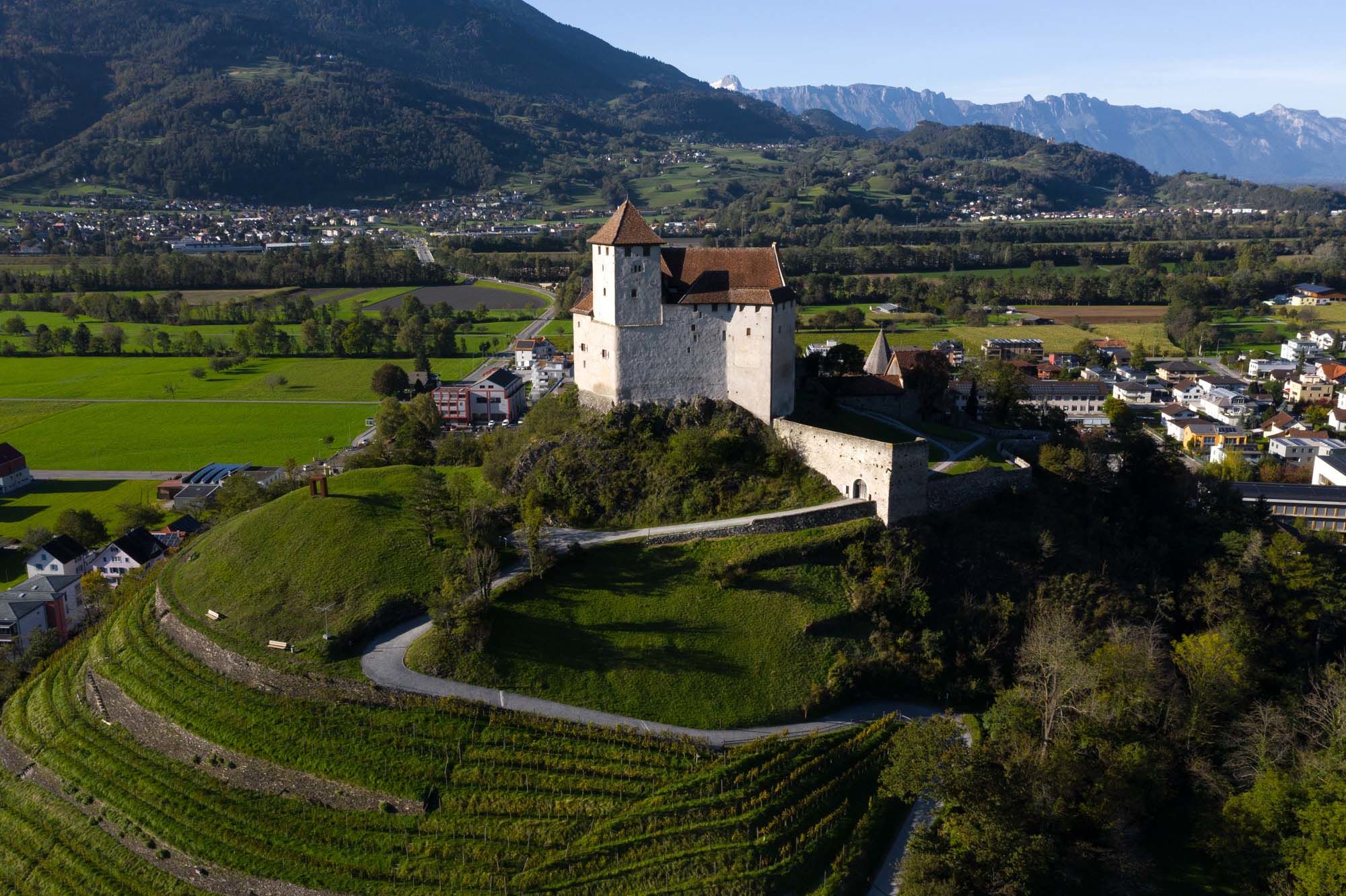
Kapelle St. Peter1,4 kmMäls1,5 kmJubiläumskirche2,3 kmSpielplatz Iramali2,4 kmPizzeria Ristorante La Perla2,6 kmBalzers (477 m)3,2 kmRestaurant Alte Eiche6,2 kmOberdorf9,3 kmTriesen (512 m)9,7 kmKapelle St. Maria9,9 kmSankt Mamerten11,4 kmWangerberg13,9 kmTriesenberg (884 m)15,3 kmPfarrkirche Sankt Josef15,4 kmRotenboden17,1 kmWood Bridge platform (650 m)22,9 kmKänzile24,5 kmVaduz (455 m)25,2 kmEbenholz31,5 kmMühleholz32,2 kmSchaan (450 m)33,7 kmSt. Laurentiuskirche33,7 kmFriedhofskapelle St. Johannes34,2 kmVorderplanken38,2 kmSankt Josef38,4 kmPlanken (786 m)38,7 kmNendeln41,4 kmRestaurant Weinstube41,9 kmSankt Sebastian und Rochus41,9 kmNendeln (447 m)42,3 kmEschen (453 m)45,6 kmRofenbergkapelle48,4 kmBendern50,3 kmLourdes Grotte50,7 kmGamprin (472 m)52,8 kmRuggell (433 m)56,3 kmSchellenberg (626 m)64,4 kmSankt Georg65,9 kmHinterschellenberg66,0 kmWirtschaft zum Löwen66,3 kmFeldkirch67,0 kmEschnerberg (697 m)67,2 kmHinterer Gantenstein (695 m)67,5 kmGasthaus Weinlaube68,4 kmMauren (453 m)70,5 kmGasthaus zum Hirschen70,6 kmMai Thai71,0 kmFeldkirch75,7 kmSchaanwald76,0 km
- La stagione migliore
-
genfebmaraprmaggiulugagosetottnovdic
- Punto più alto
- 1.107 m
- Destinazione
-
Zollamt, Schaanwald
- Profilo altimetrico
-
 © outdooractive.com


-

-
AutoreIl tour The Liechtenstein Trail è utilizzato da outdooractive.com fornito.
GPS Downloads


Info generali
Punto di ristoro
Culturale/Storico
Suggerimento
Promettente
Altri tour nelle regioni
-
Heidiland
2201
-
Liechtenstein
1289
-
Planken
316


