High-altitude tour: Nenzinger Himmel – Pfälzer Hütte – Augstenberg

Escursionismo
© Bodensee-Vorarlberg Tourismus GmbH - Erich Zucchali / www.guideservice.at
© www.guideservice.at - Erich Zucalli
© www.guideservice.at - Erich Zucalli
© www.guideservice.at - Erich Zucalli
© www.guideservice.at - Erich Zucalli
© www.guideservice.at - Erich Zucalli
© www.guideservice.at - Erich Zucalli
© www.guideservice.at - Erich Zucalli
© www.guideservice.at - Erich Zucalli
© www.guideservice.at - Erich Zucalli

- Descrizione rapida
-
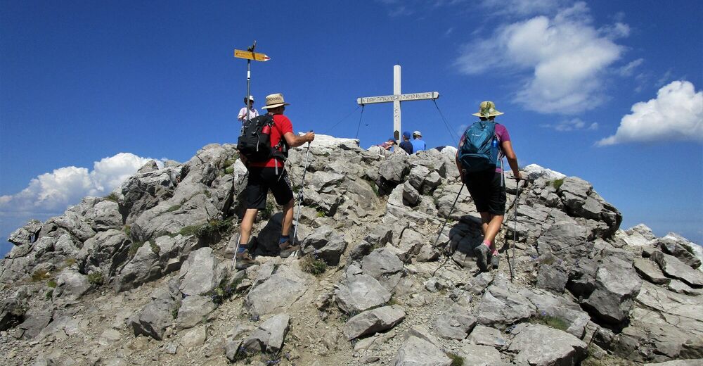
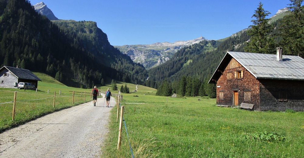
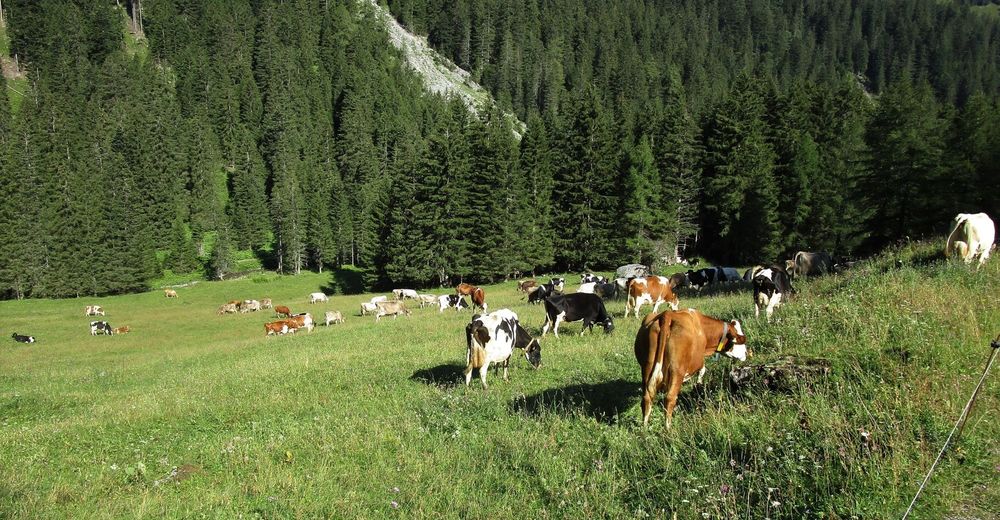
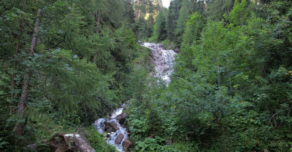
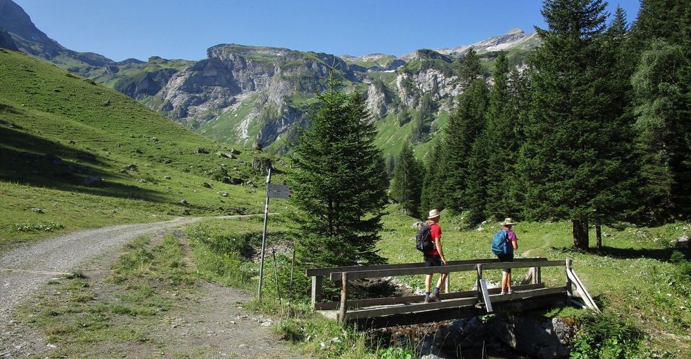
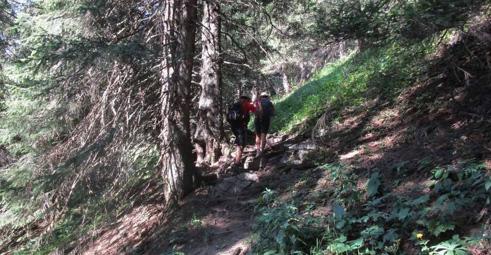
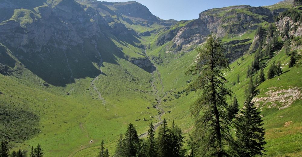
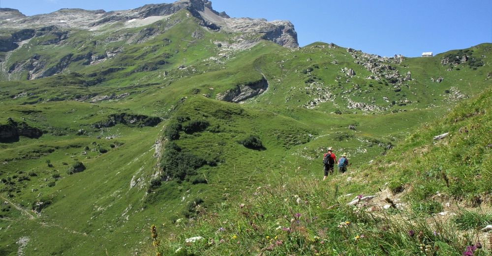
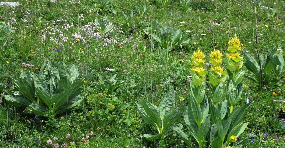
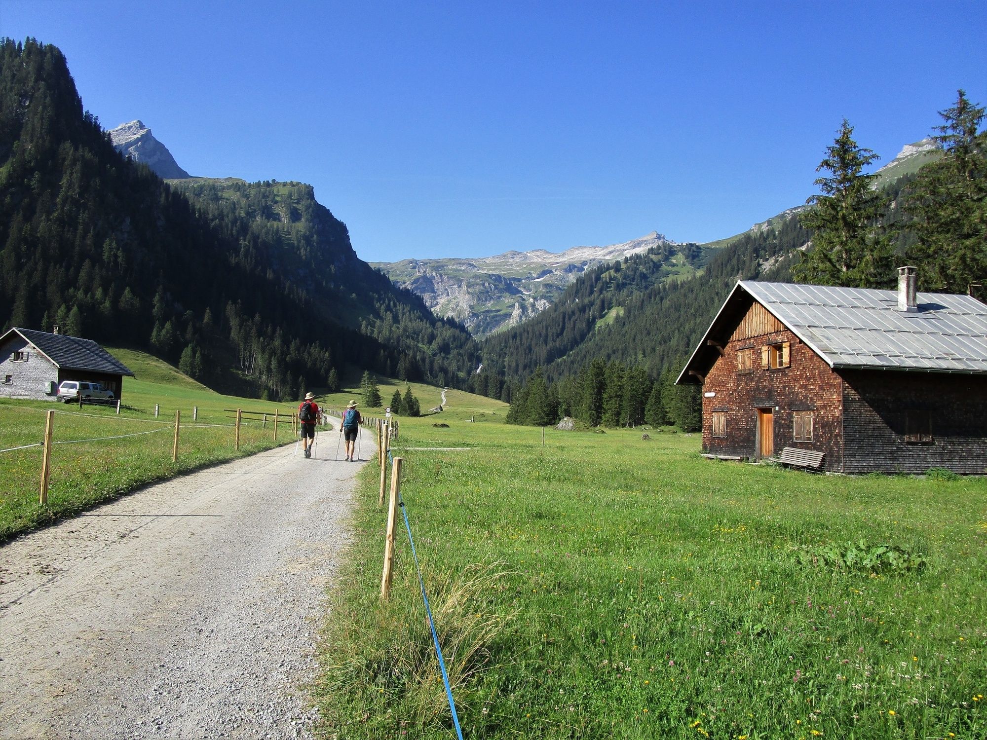
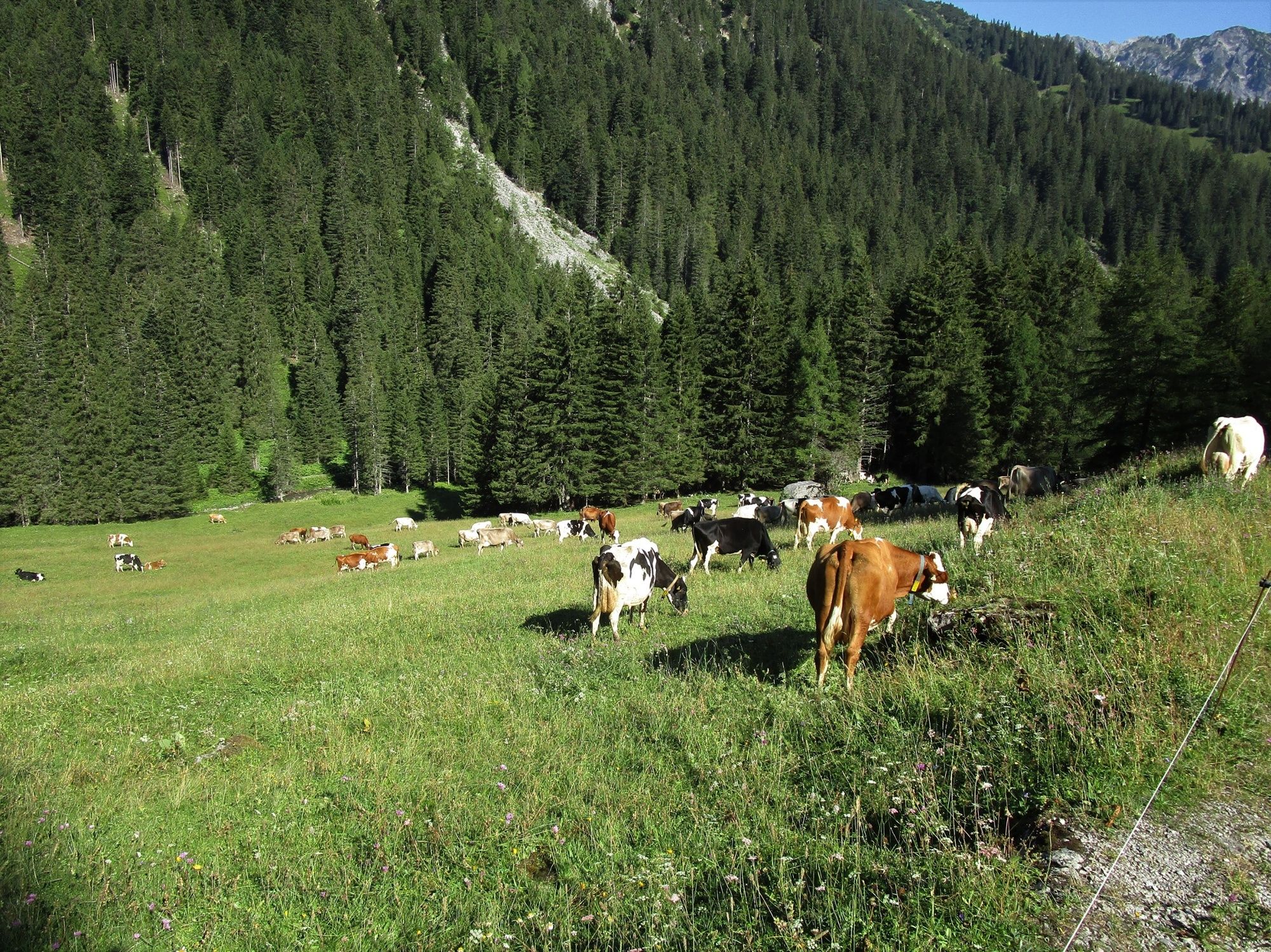
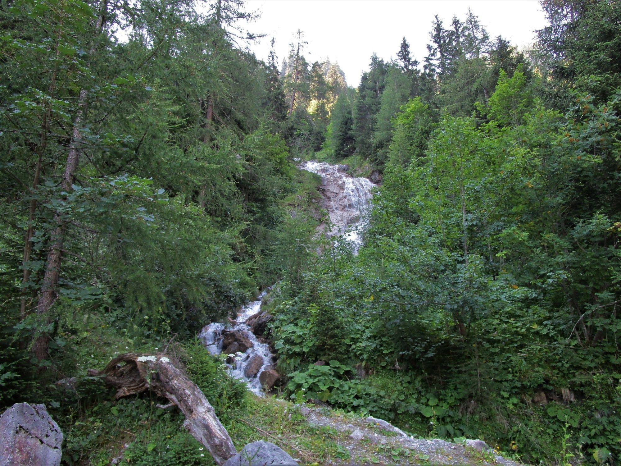
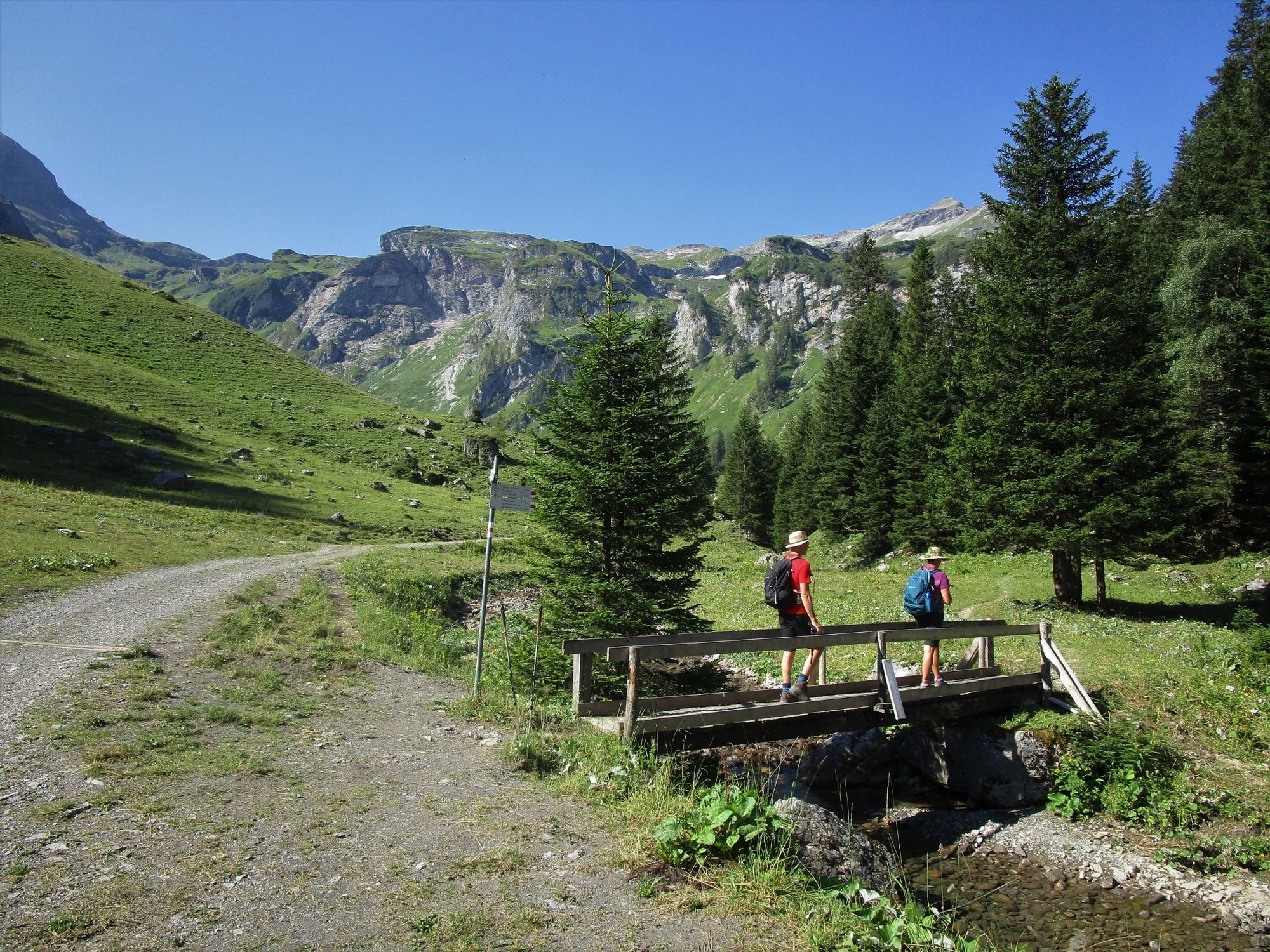
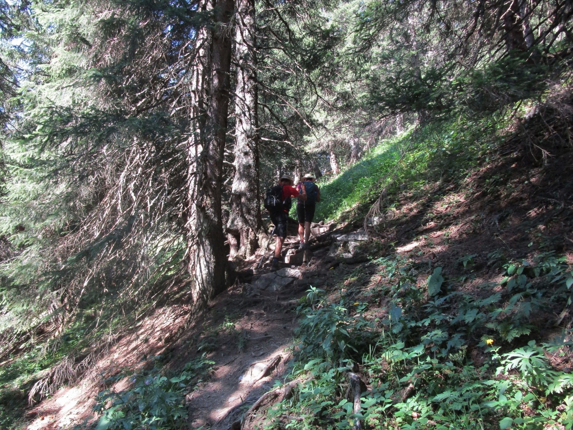
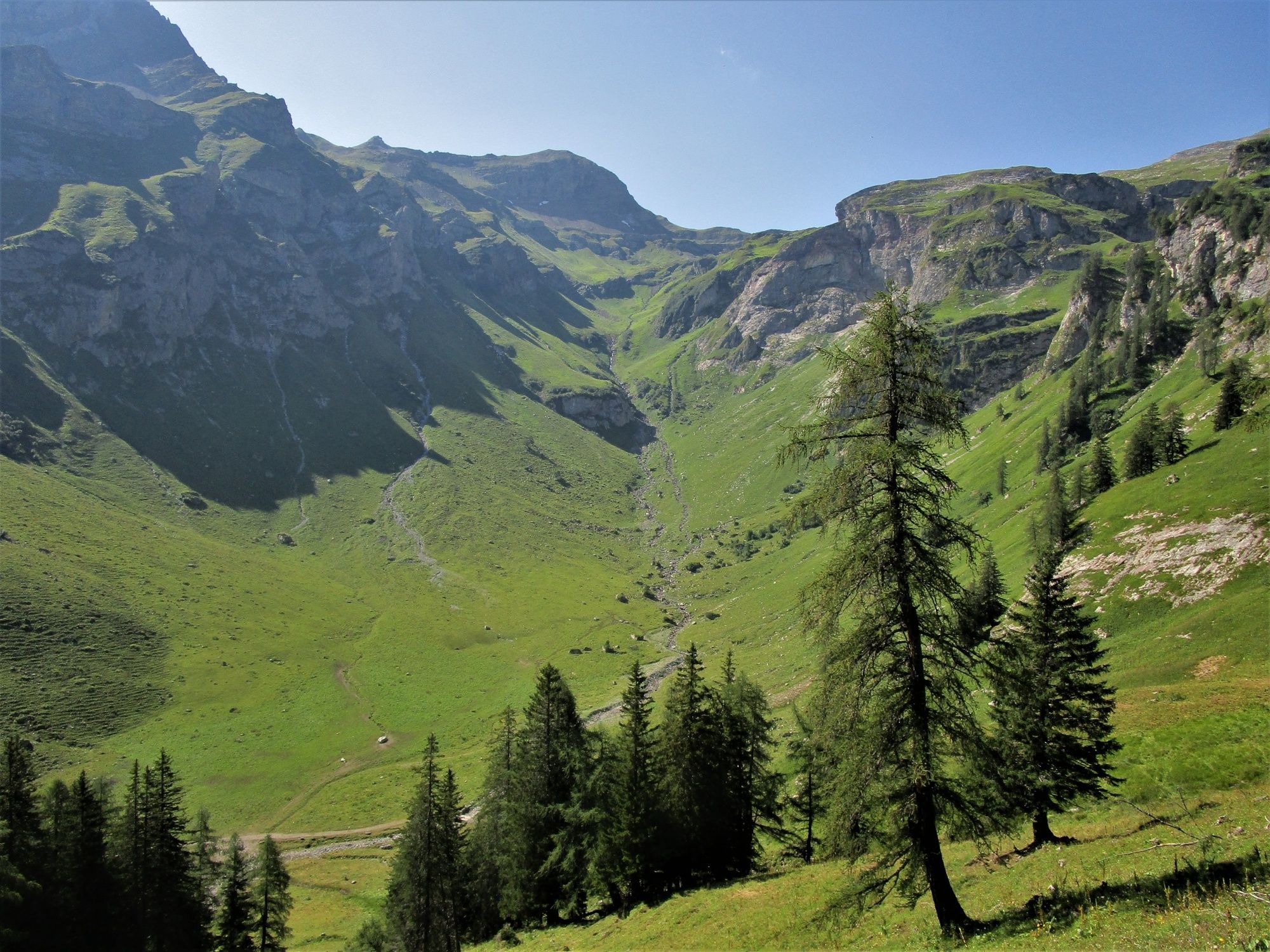
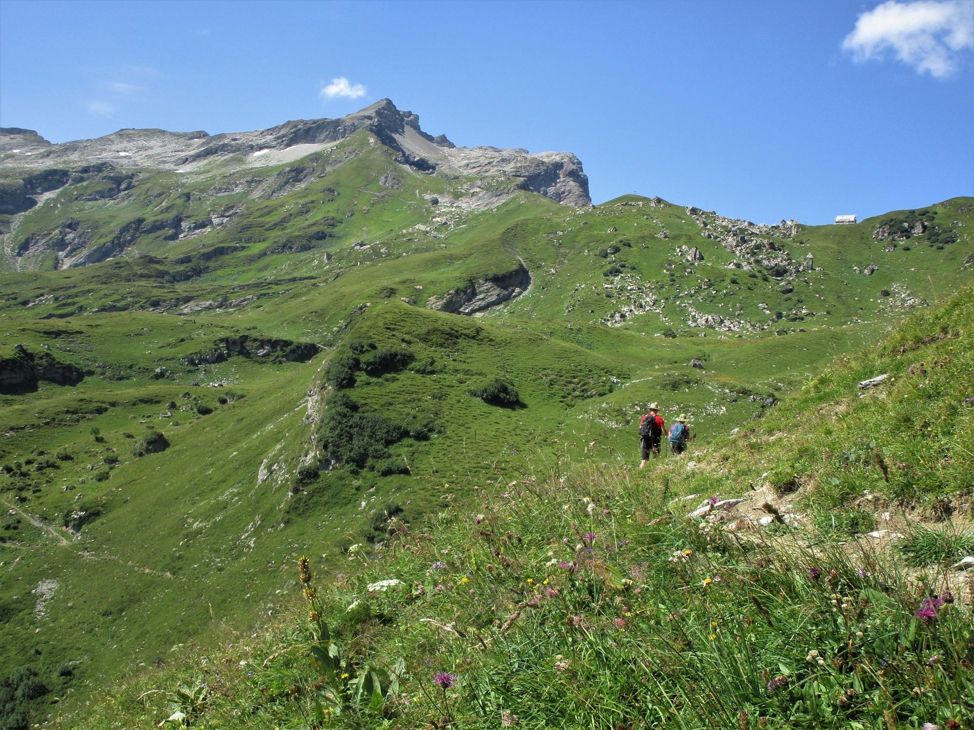
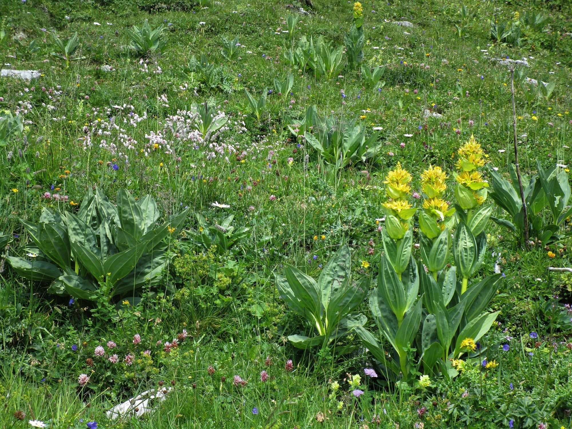
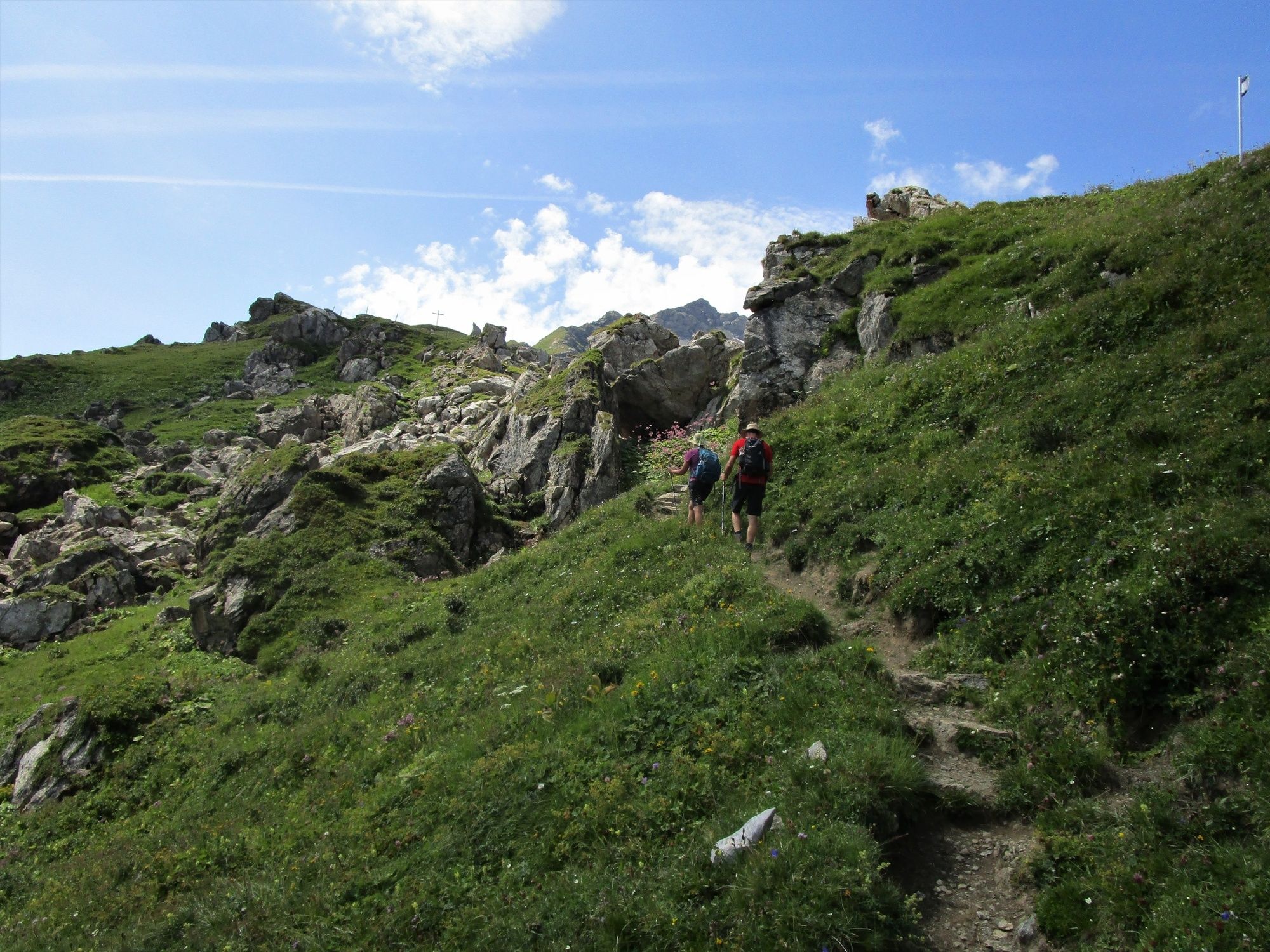
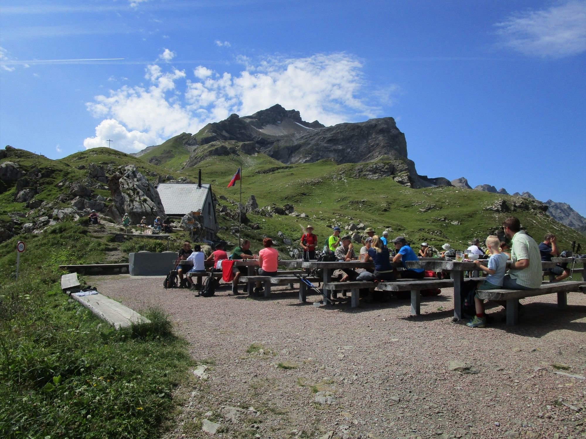
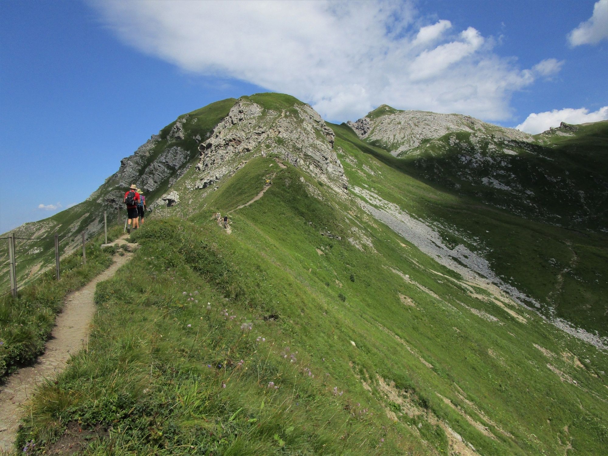
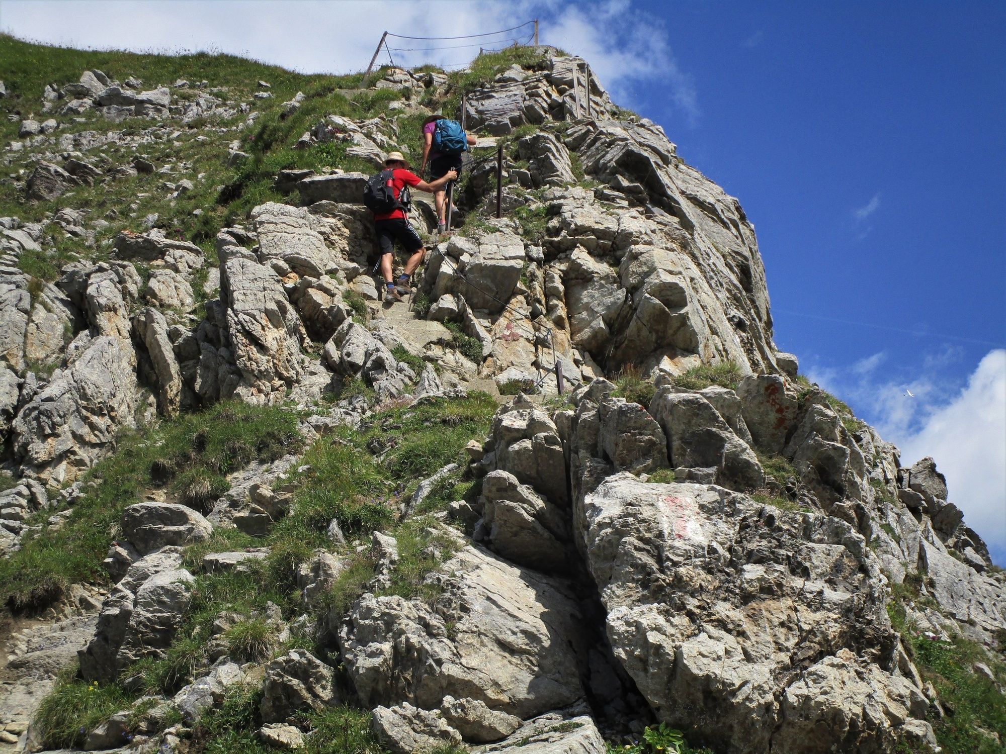
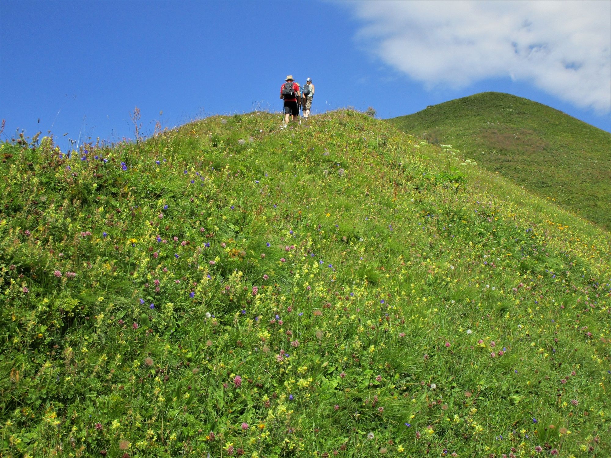
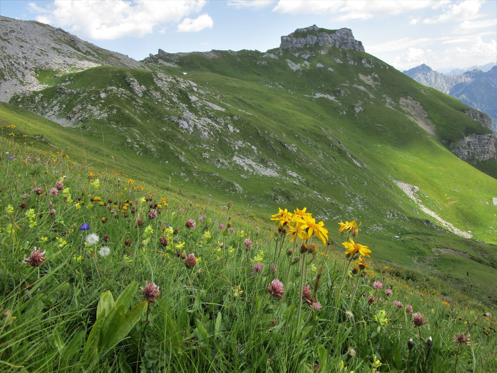
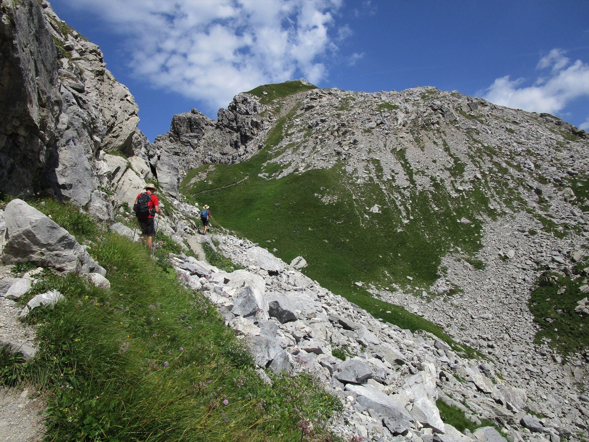
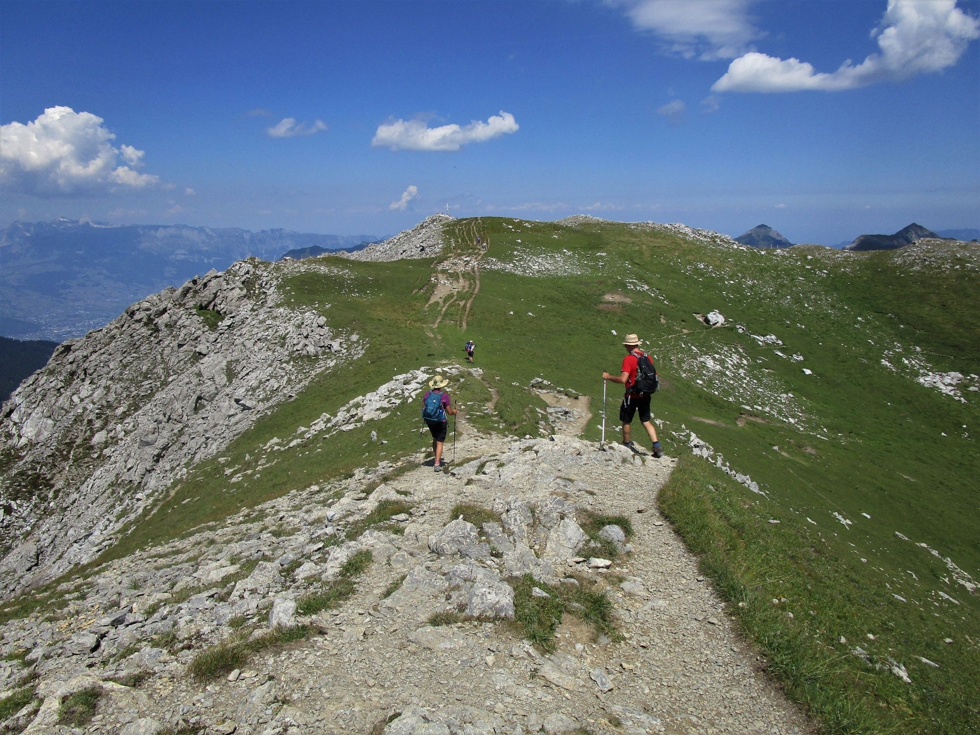
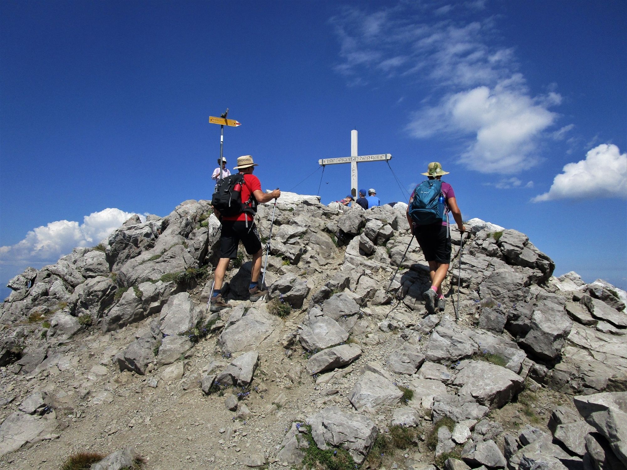
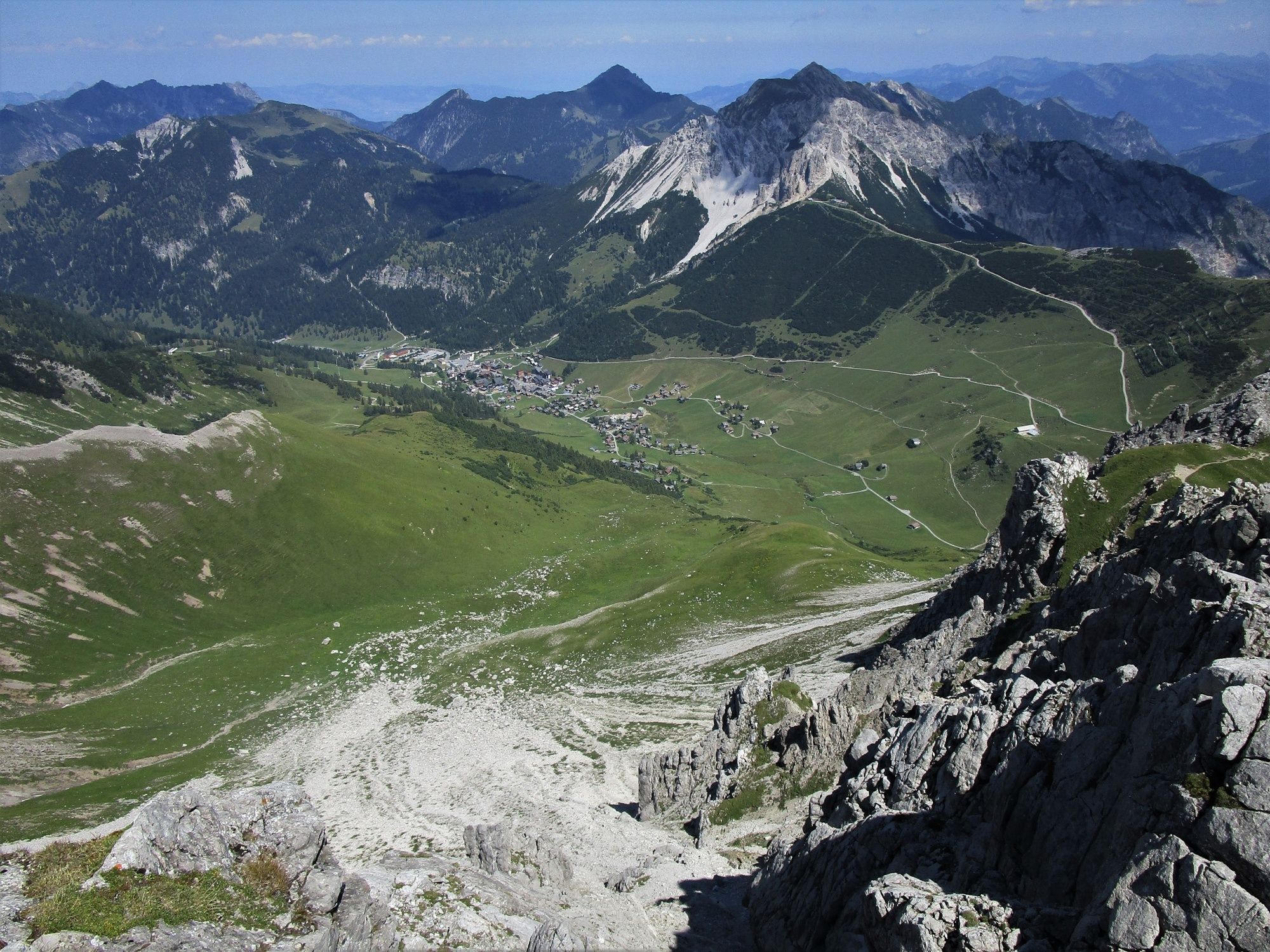
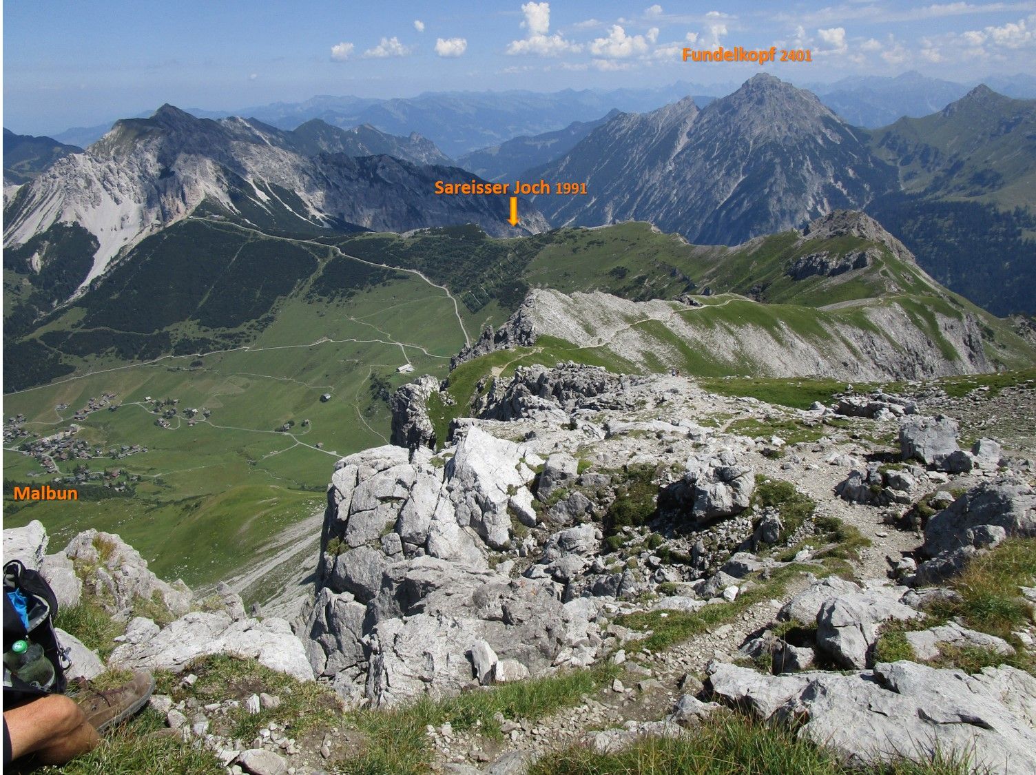
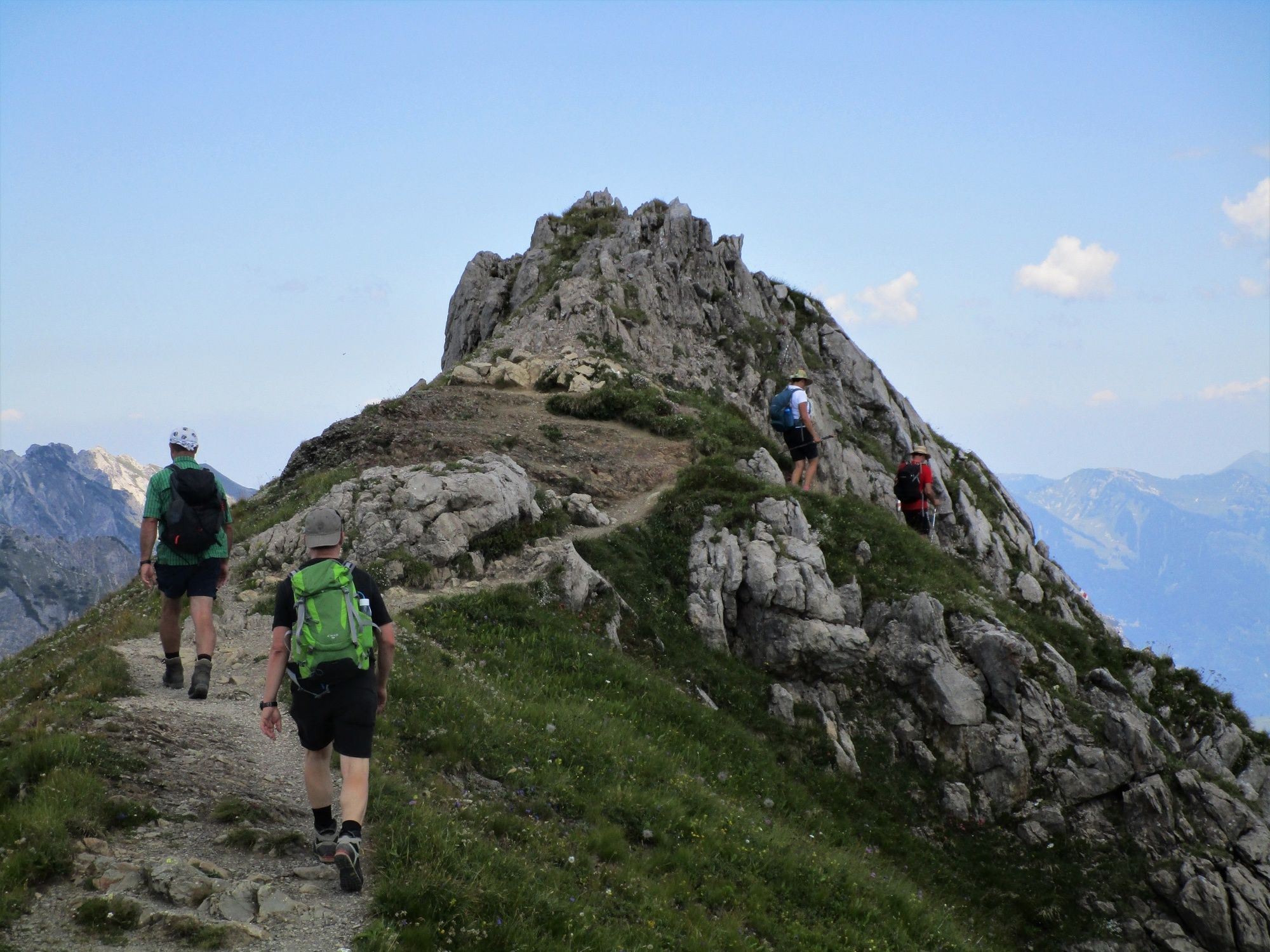
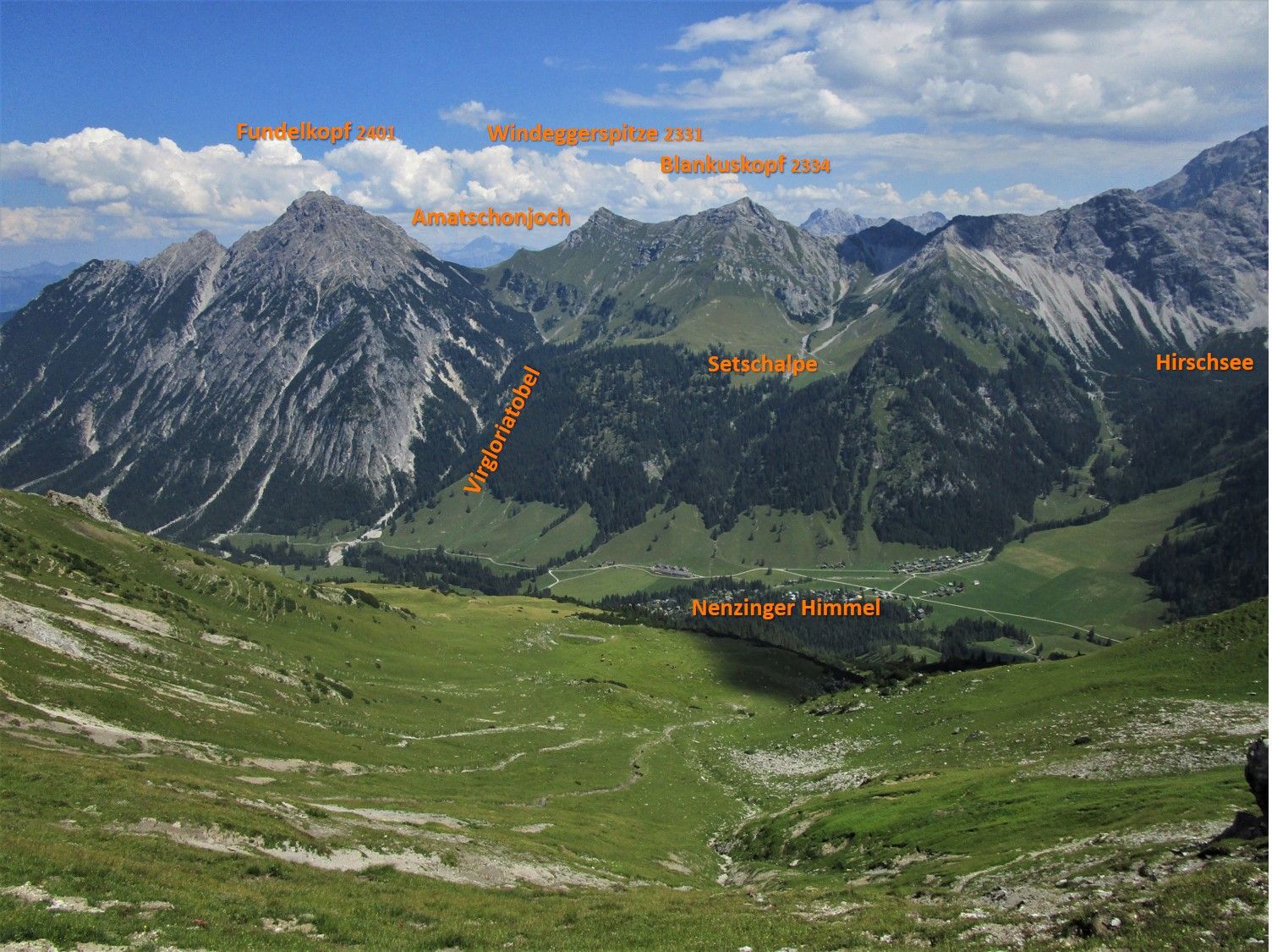
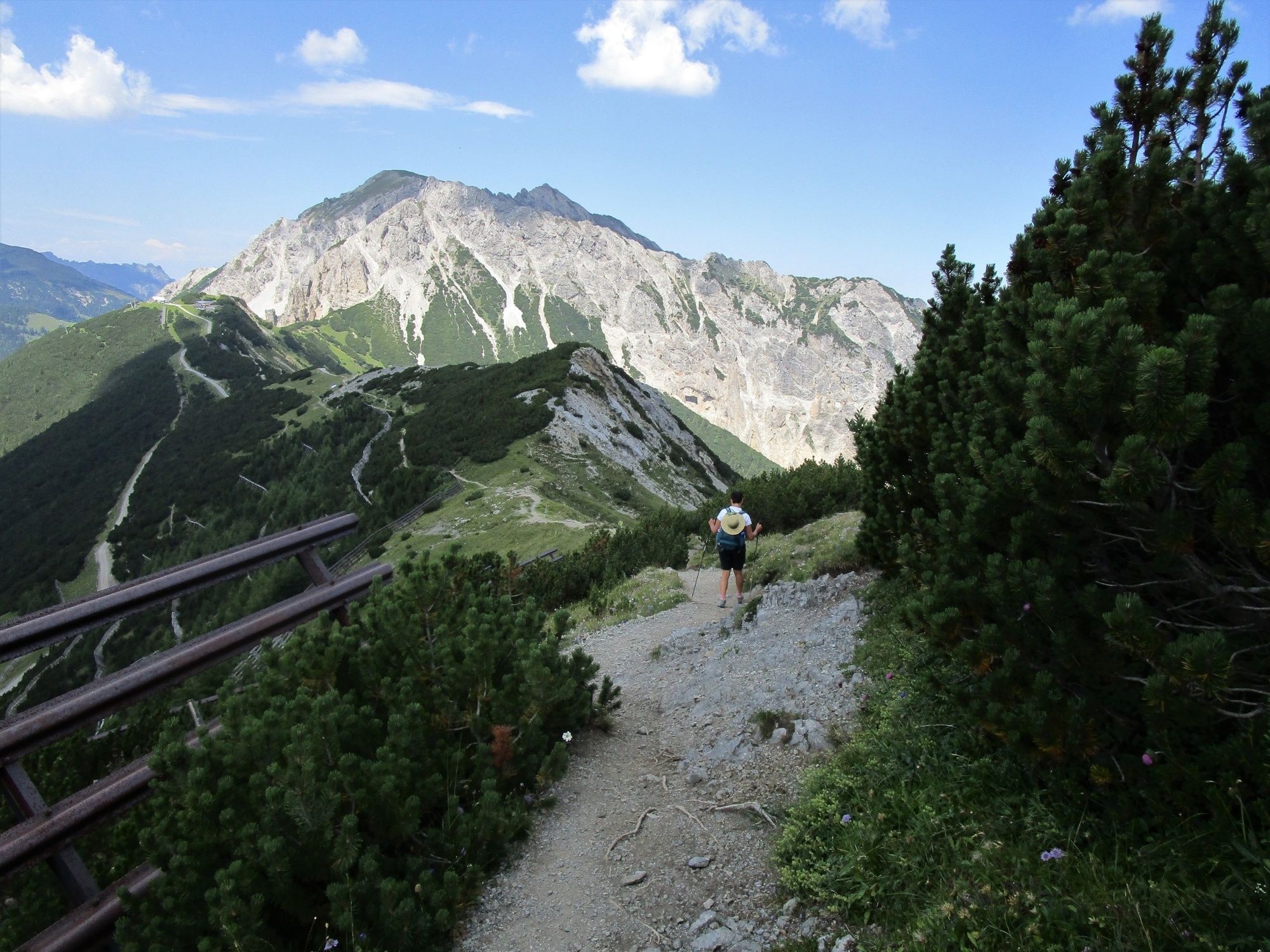
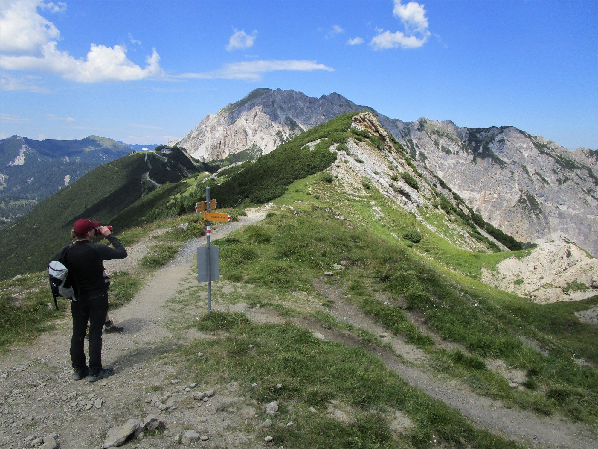
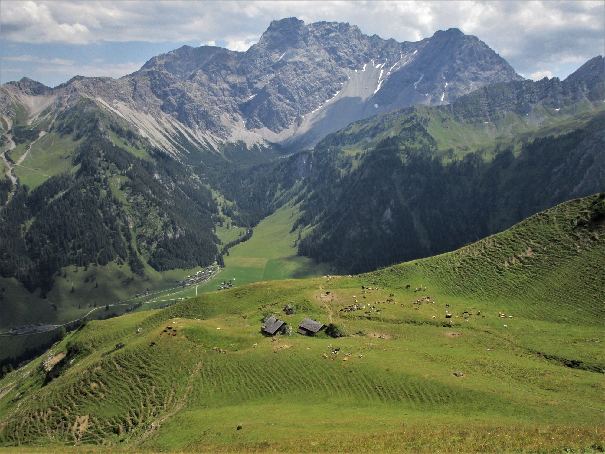
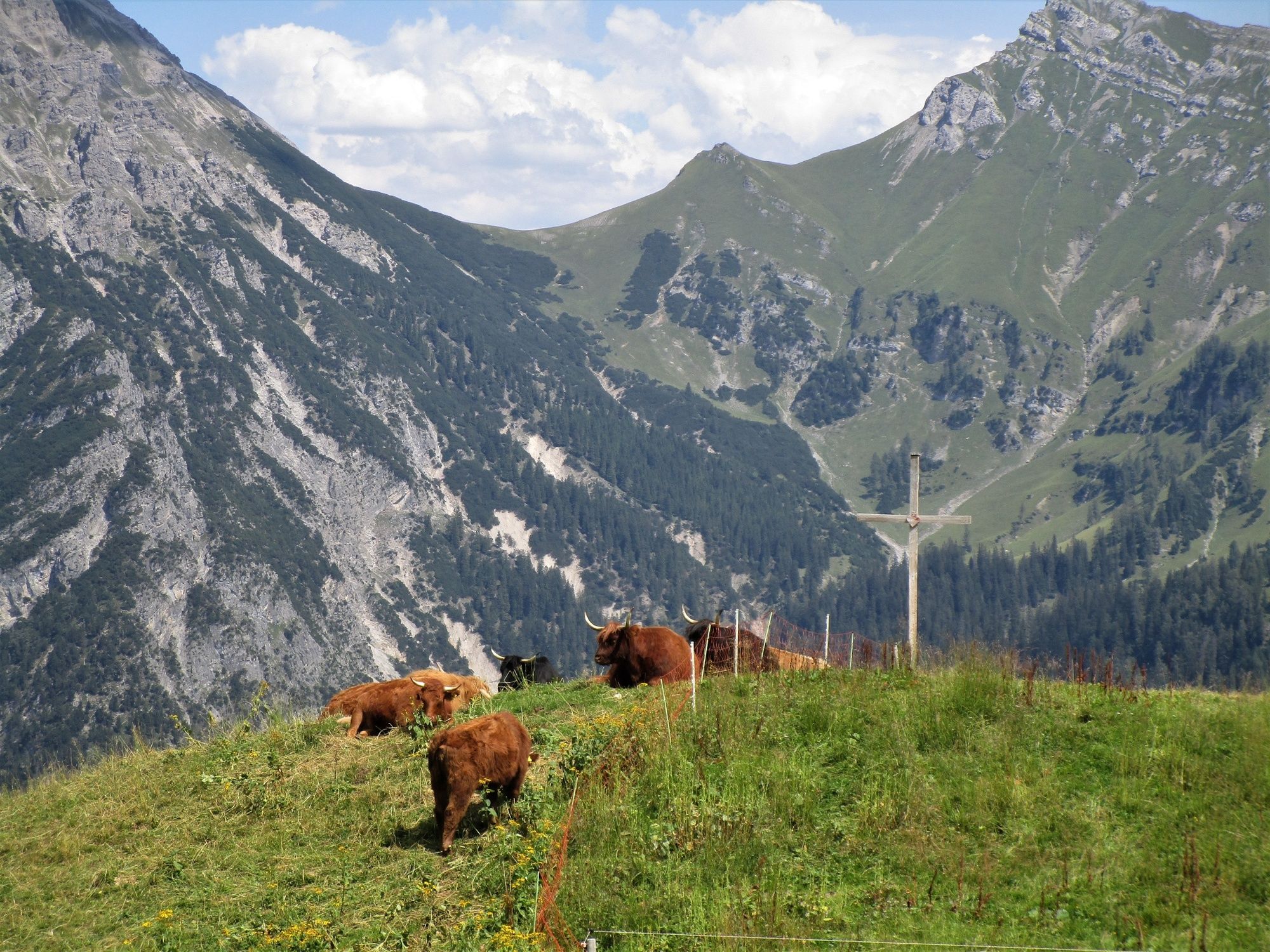
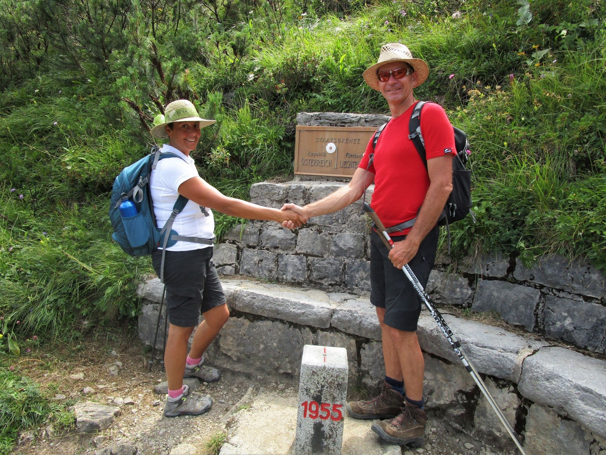
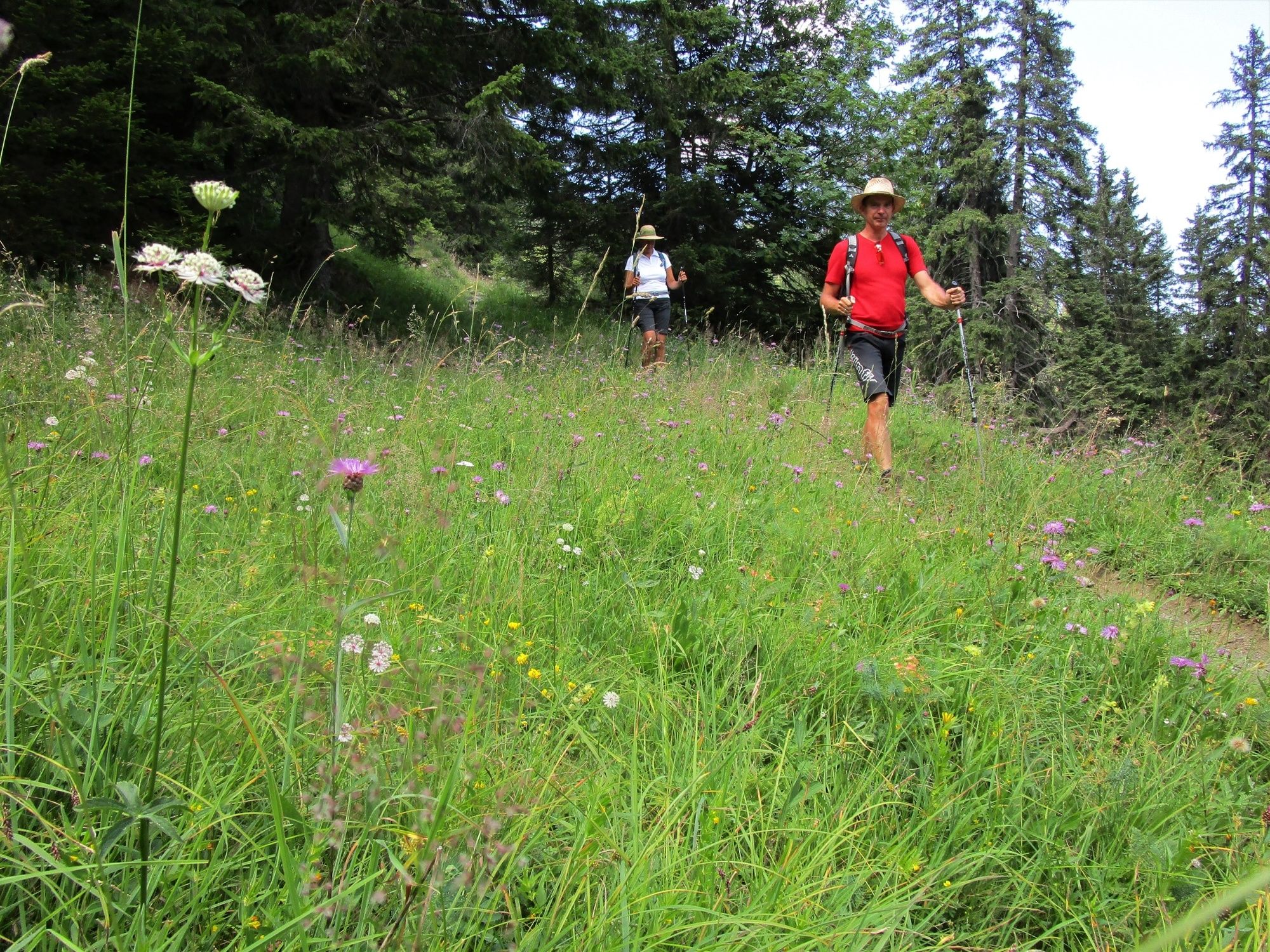
Panoramic high-altitude round hike across the Pfälzerhütte, the Augstenberg and the Sareiserjoch. The ascent to the Pfälzerhütte in particular passes through beautiful flower meadows. The hike along the ridge rewards the climbing effort with fascinating panoramic views from Lake Constance far into the Glarus Alps and the Rätikon.
- Difficoltà
-
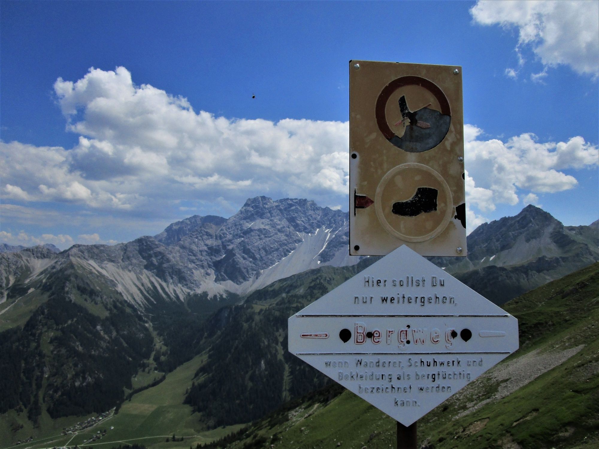
difficile
- Valutazione
-
- Percorso
-
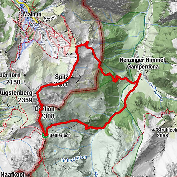
Stüberfall1,4 kmAlpe Güfel2,2 kmPfälzerhütte4,7 kmAugstenberg (2.359 m)6,2 kmSpitz (2.187 m)7,4 km
- La stagione migliore
-
genfebmaraprmaggiulugagosetottnovdic
- Punto più alto
- 2.351 m
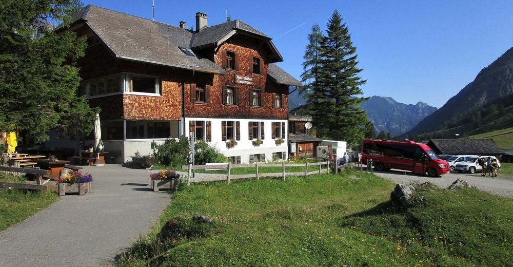
- Destinazione
-
Nenzinger Himmel
- Profilo altimetrico
-


- Autore
-
Il tour High-altitude tour: Nenzinger Himmel – Pfälzer Hütte – Augstenberg è utilizzato da outdooractive.com fornito.
GPS Downloads


Info generali
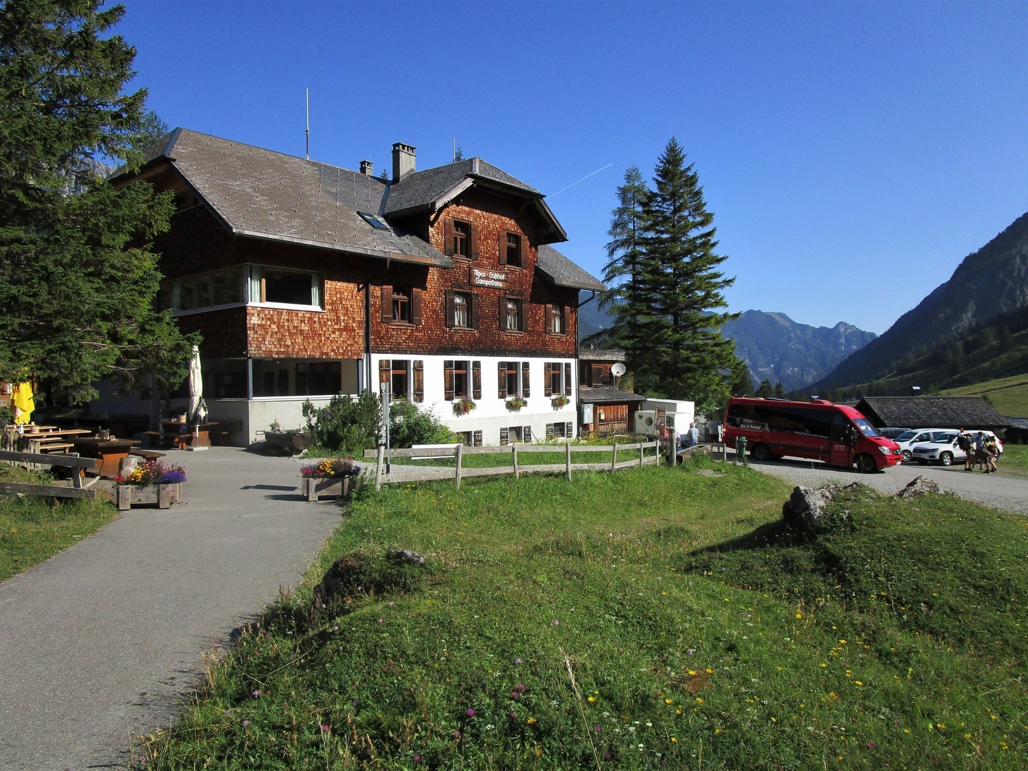
Punto di ristoro
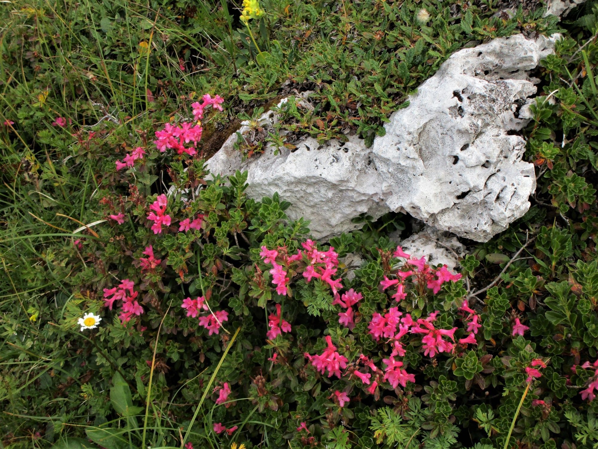
Flora
Promettente
Altri tour nelle regioni
-
Heidiland
2199
-
Liechtenstein
1287
-
Malbun
308


