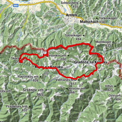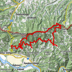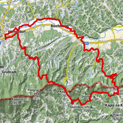
© RRA Koroska - Koroska Discover
© RRA Koroska - Koroska Discover
© RRA Koroska - Koroska Discover
© RRA Koroska - Koroska Discover
© RRA Koroska - Koroska Discover
© RRA Koroska - Koroska Discover
© RRA Koroska - Koroska Discover

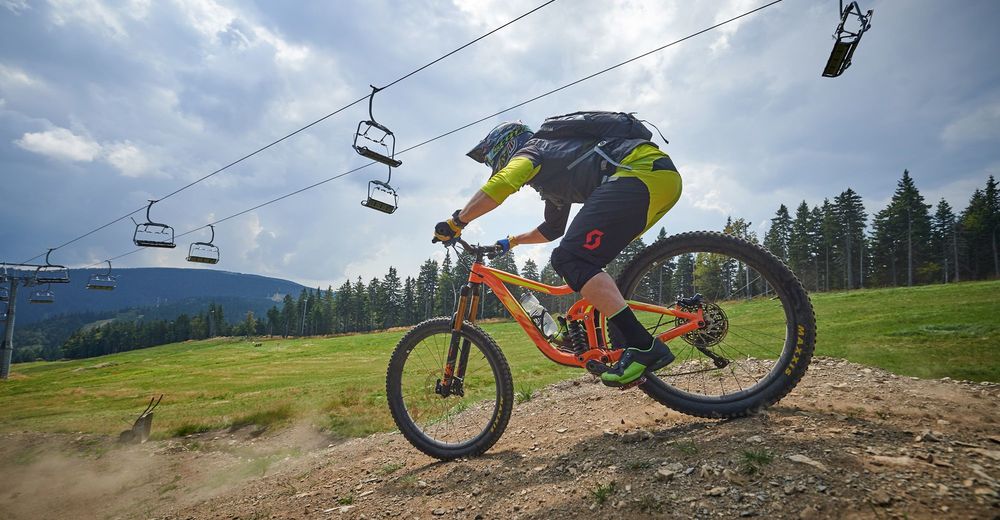
- Descrizione rapida
-
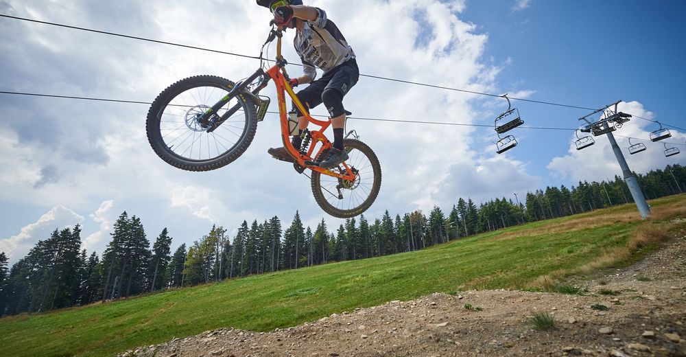
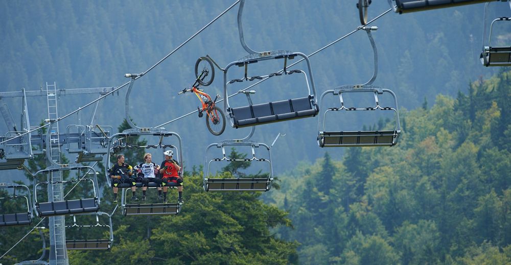
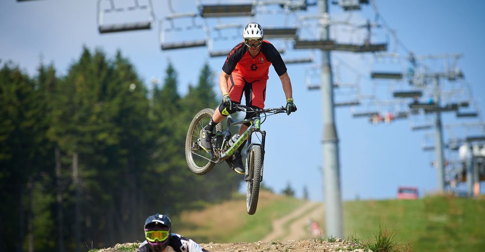
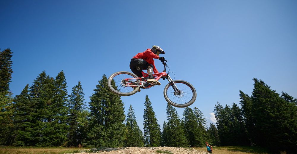
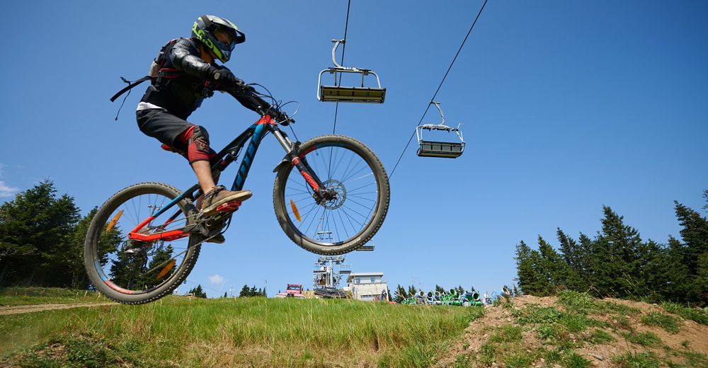
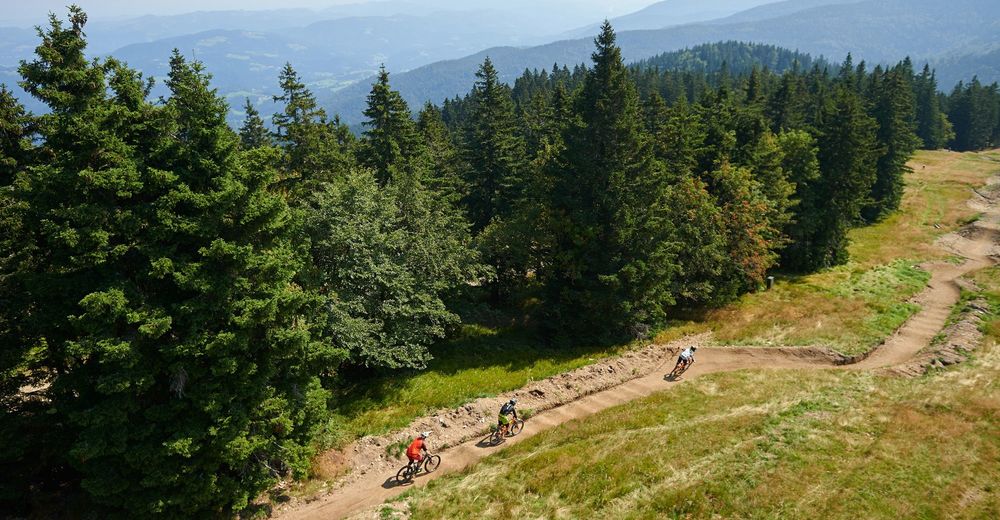
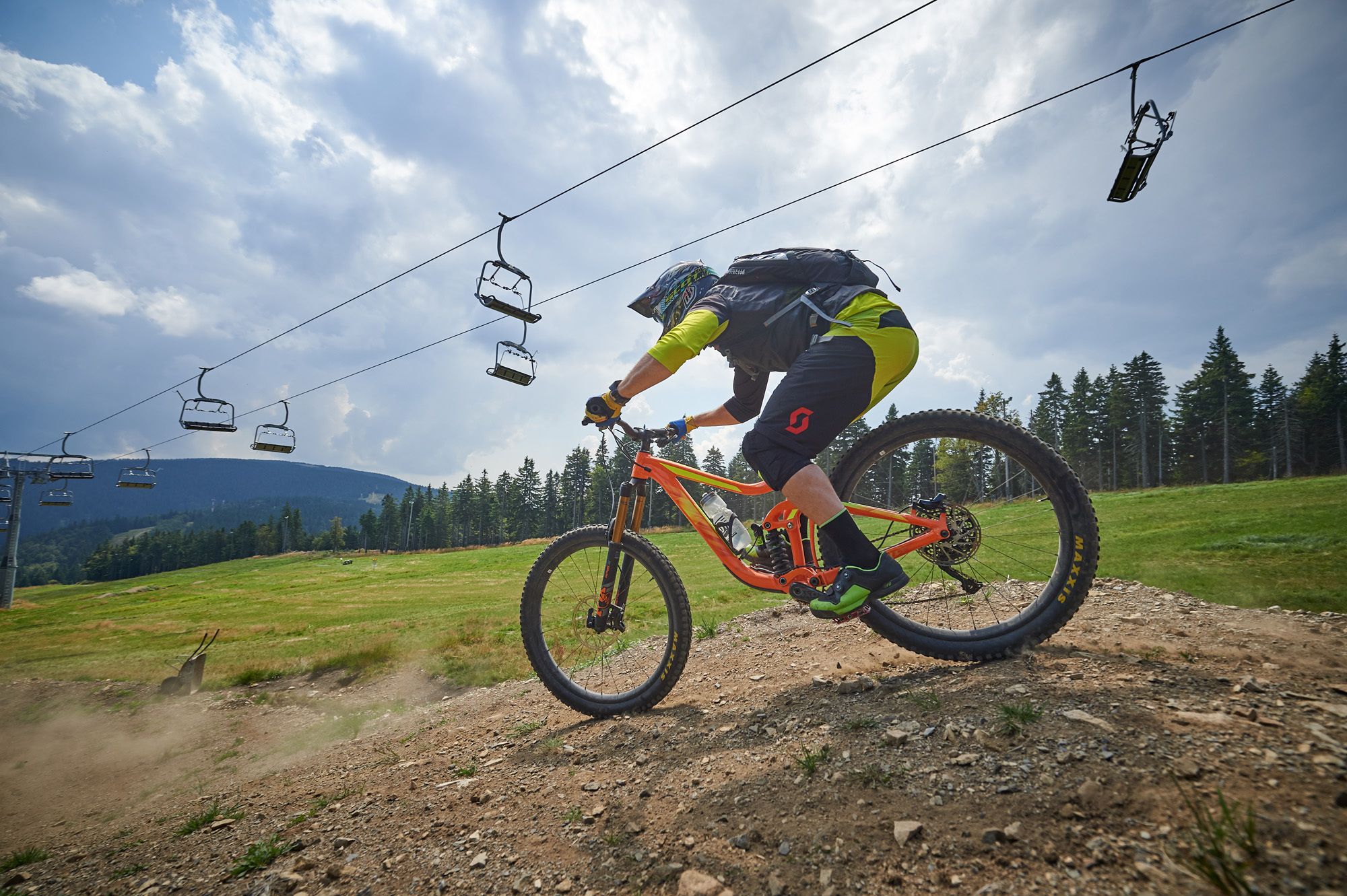
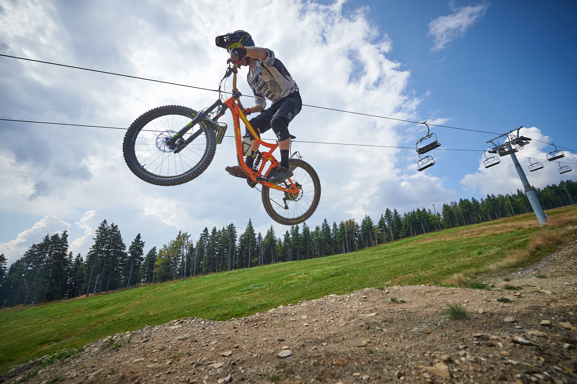
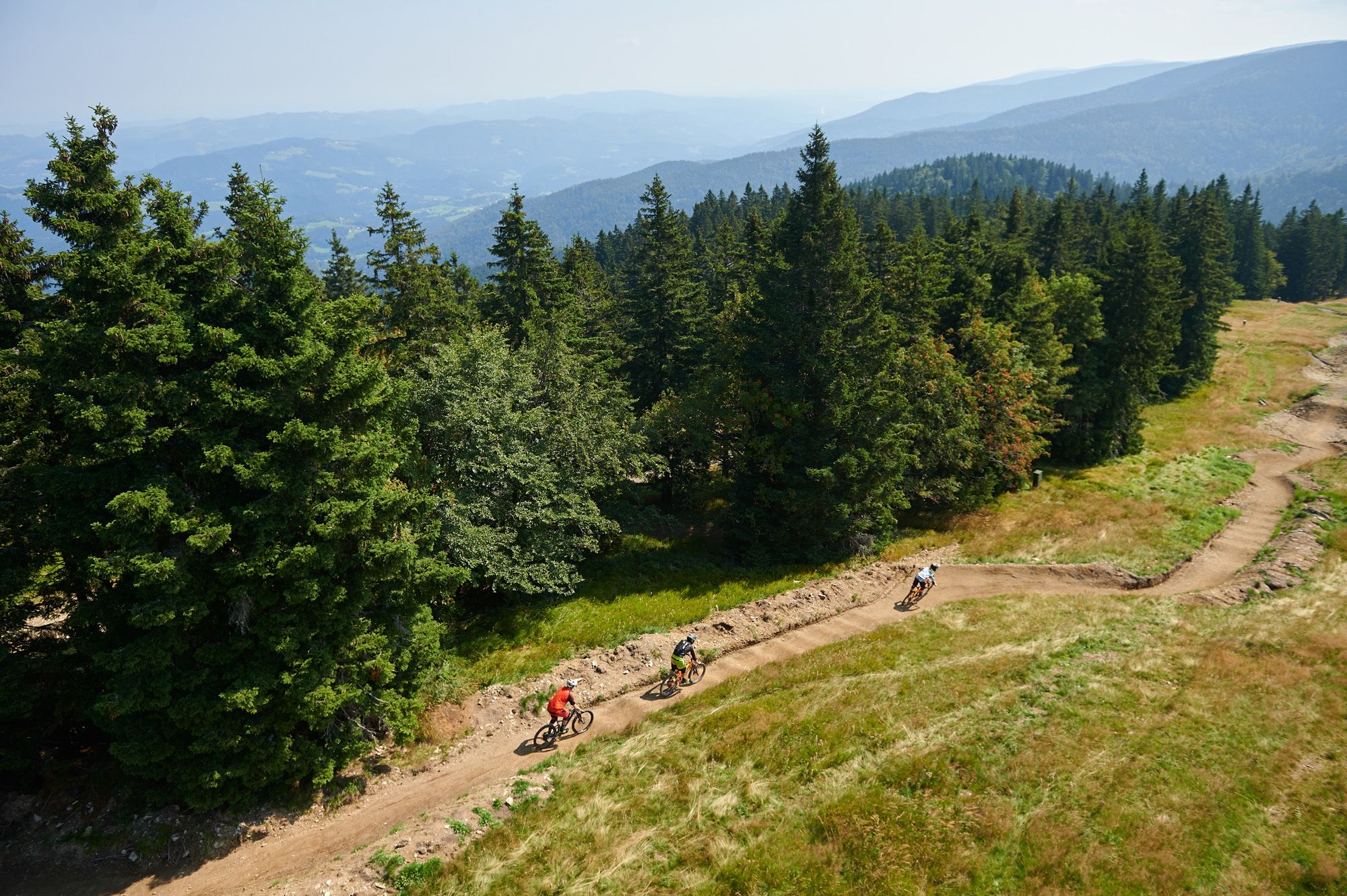
Trail for pros. Big jumps and doubles, bridges and other objects will surprize and make the adrenalin to be splitted around. After cca 800m it connects with the Flow trail.
- Percorso
-
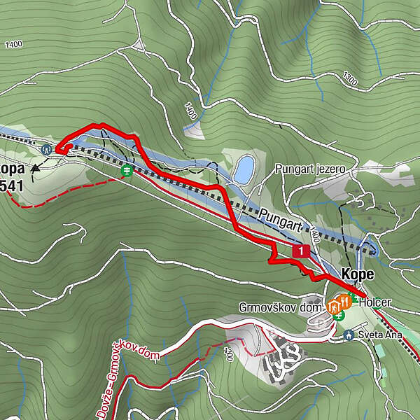
Velika Kopa (1.541 m)0,1 kmHolcer1,3 kmKope1,3 kmPungart (1.374 m)1,3 km
- Punto più alto
- 1.533 m
- Profilo altimetrico
-
 © outdooractive.com

- Autore
-
Il tour Bike park Kope: PROLINE trail è utilizzato da outdooractive.com fornito.
GPS Downloads


Altri tour nelle regioni
-
Südsteiermark
138
-
Savinjska
24
-
Mislinja
11