Kreuzeckgruppe - Mölltaler Polinik 2.784m - Hike and Bike

Escursionismo

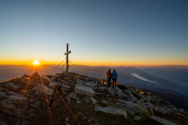
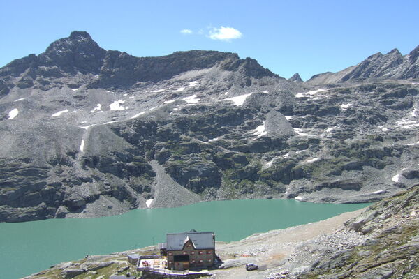
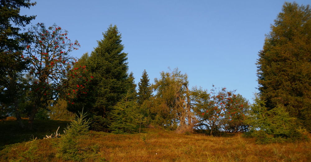
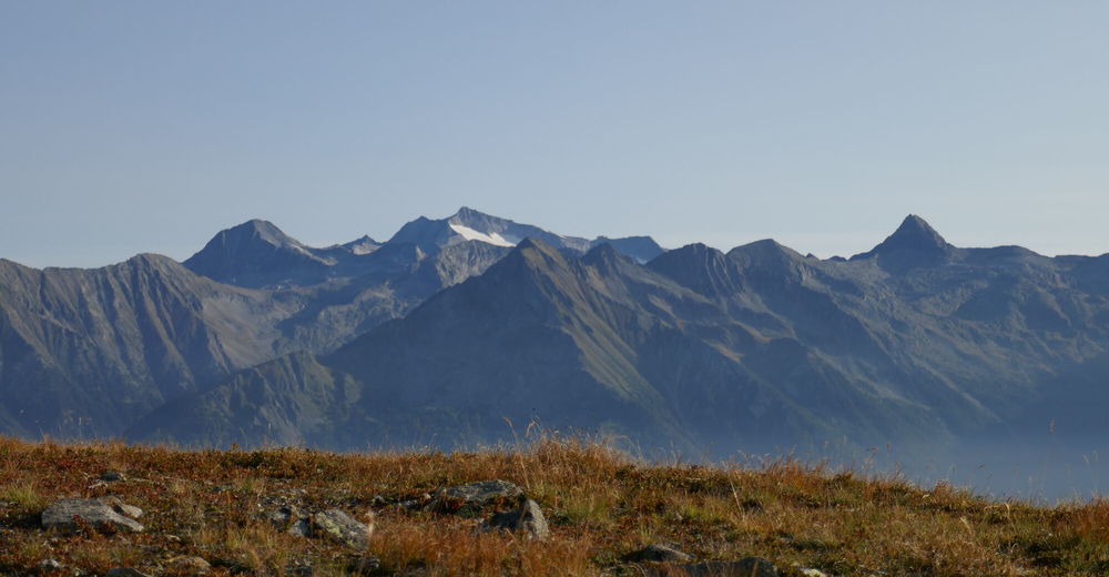
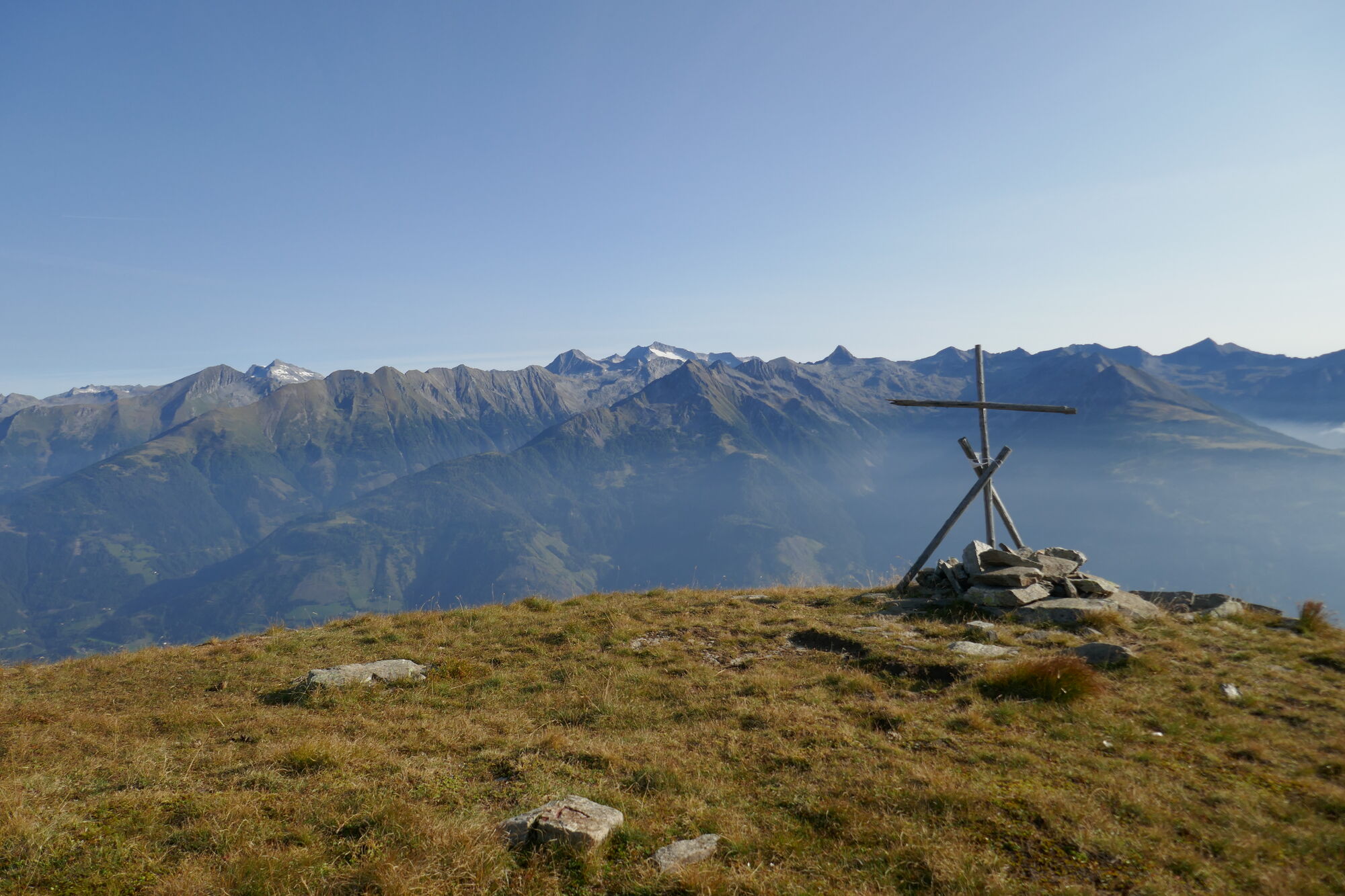
© Christian Herold

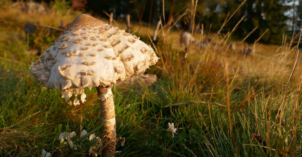
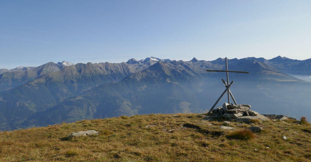
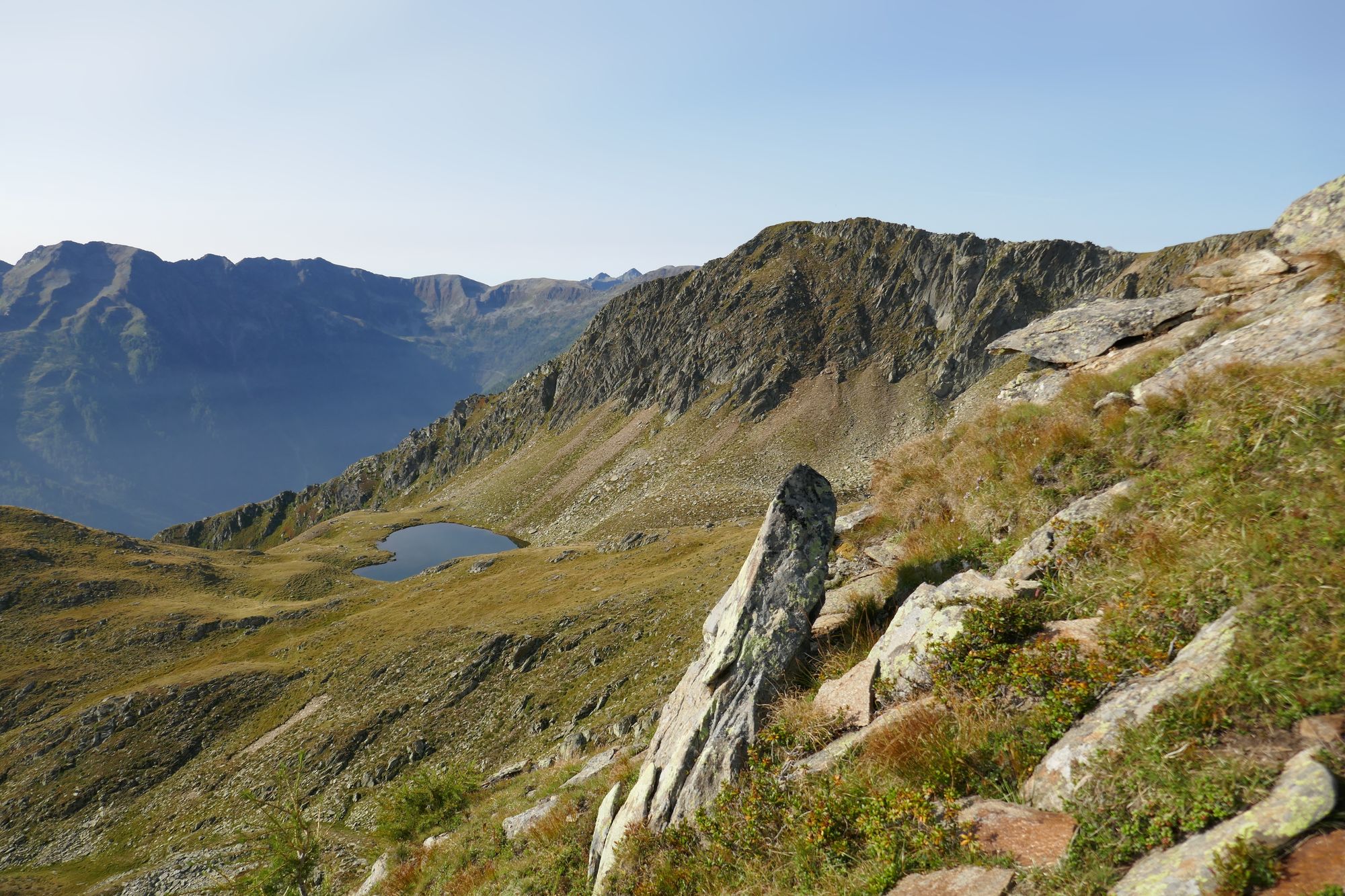
© Christian Herold
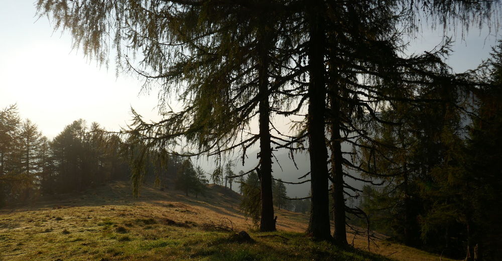
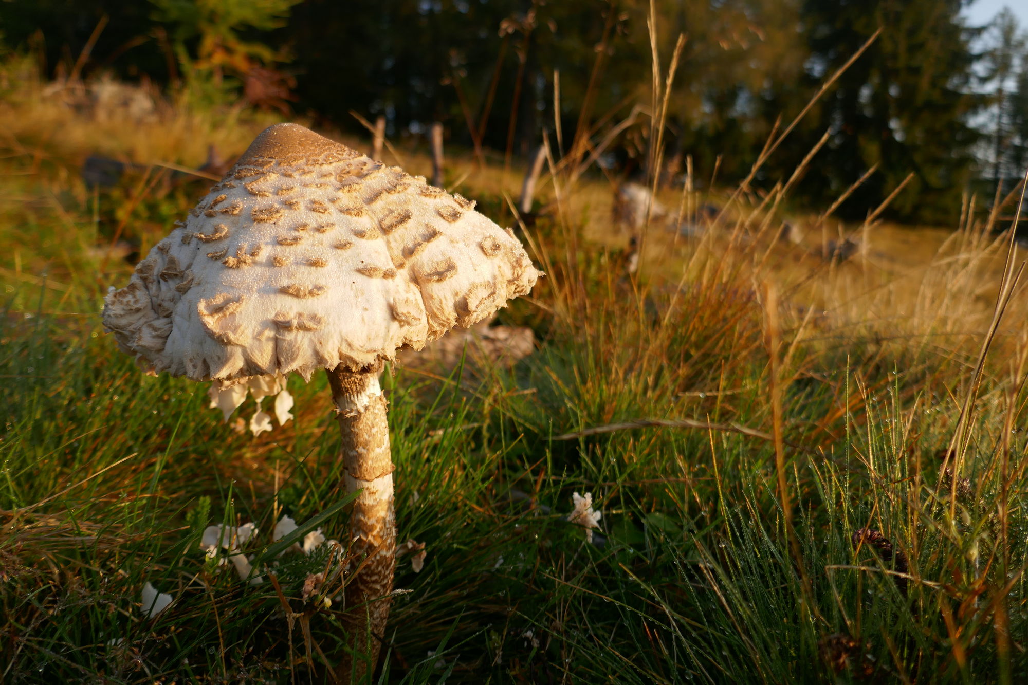
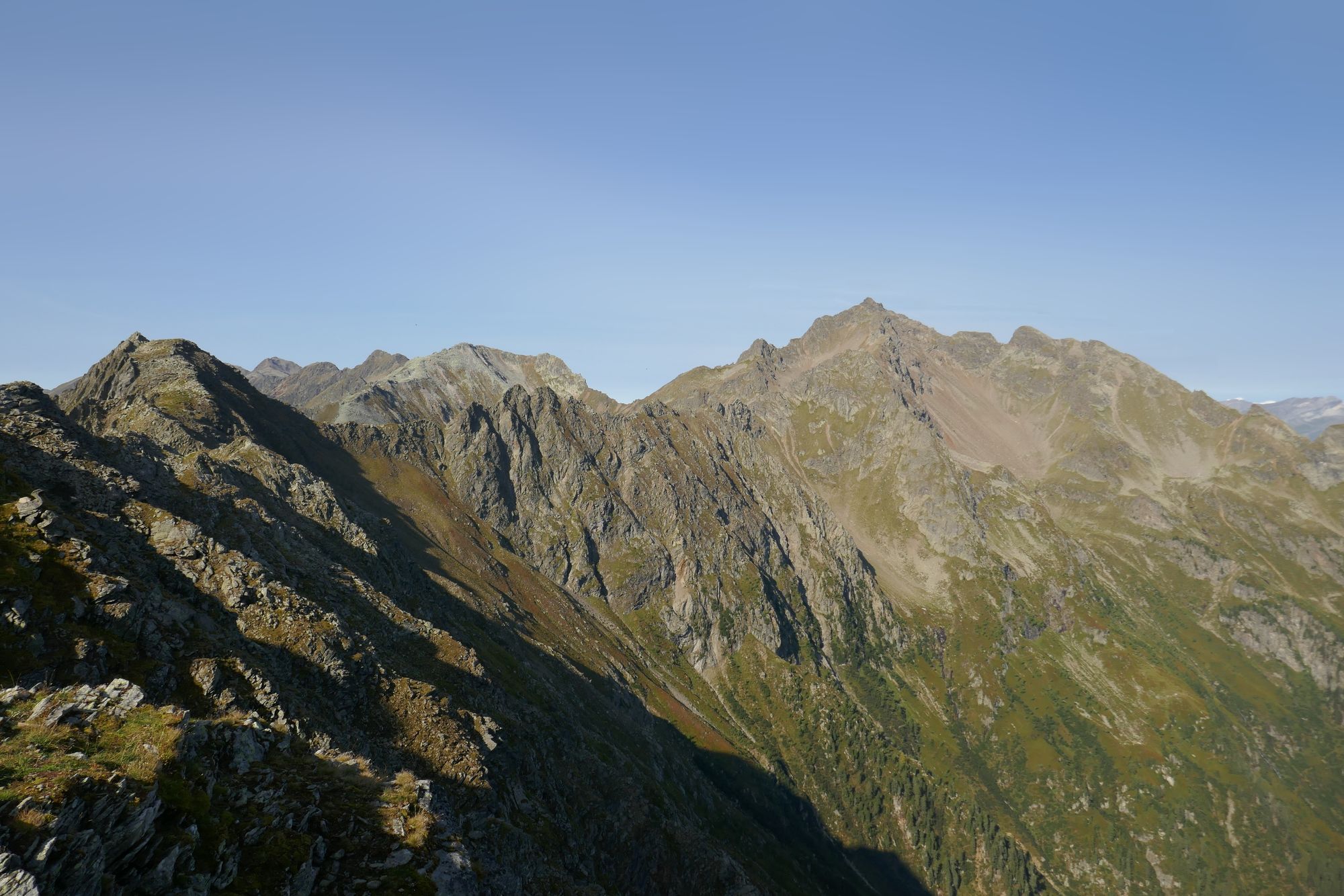
© Christian Herold
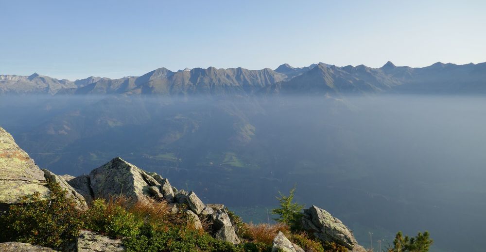
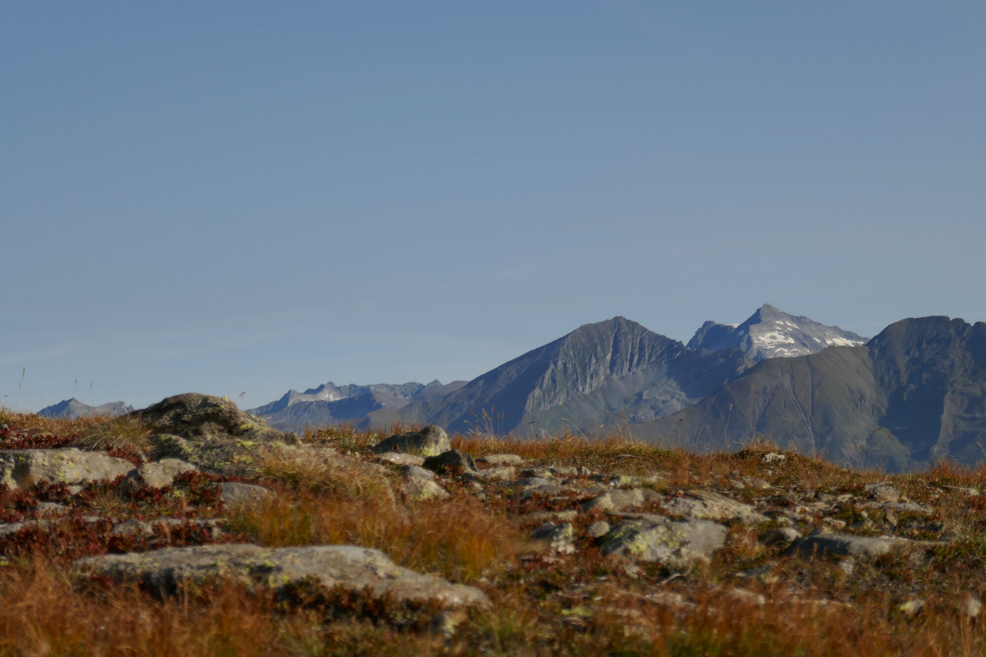
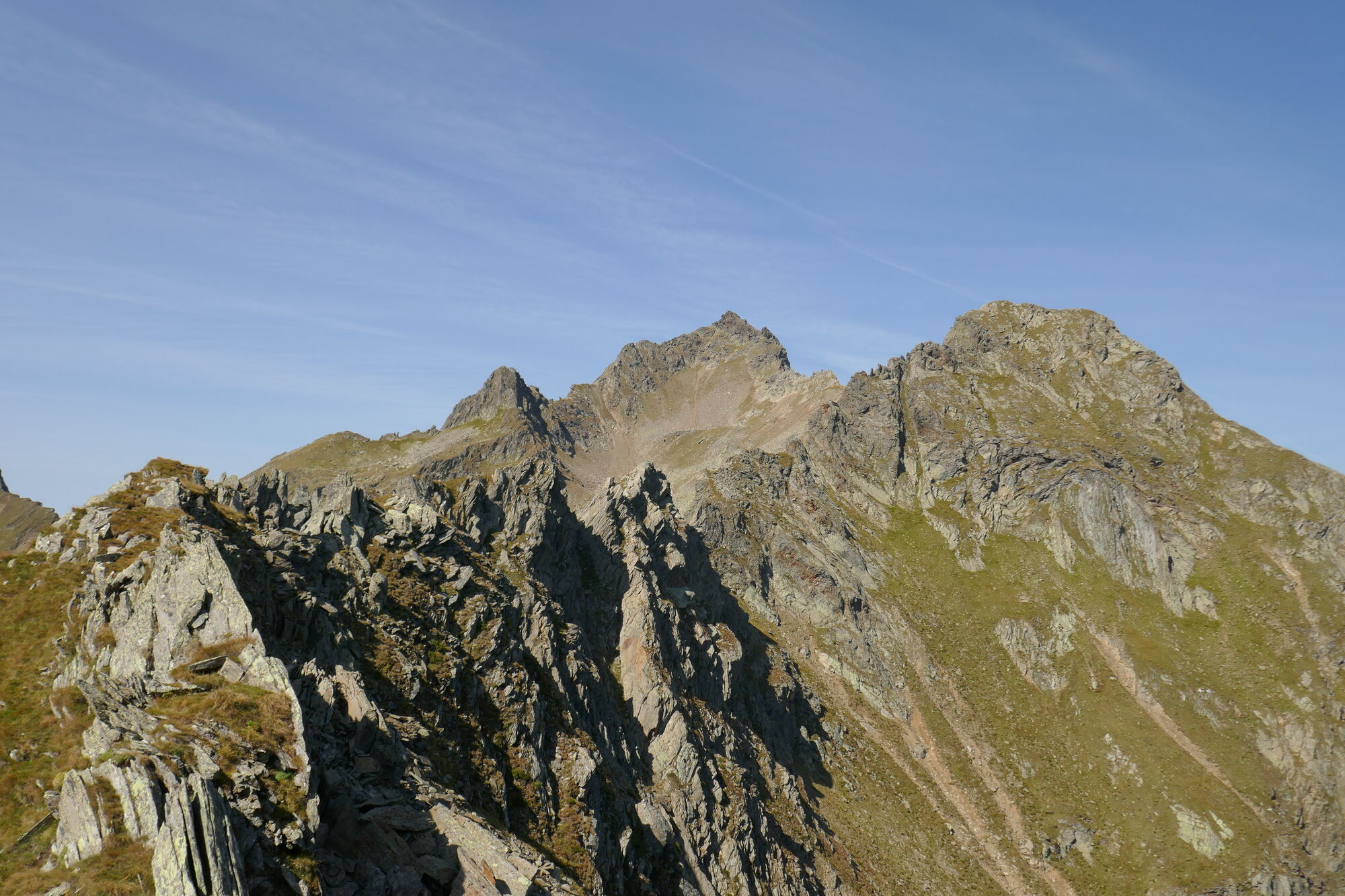
© Christian Herold
© Christian Herold
© Christian Herold

© Christian Herold
© Christian Herold

© Christian Herold
© Christian Herold
Dati percorsi
16km
640
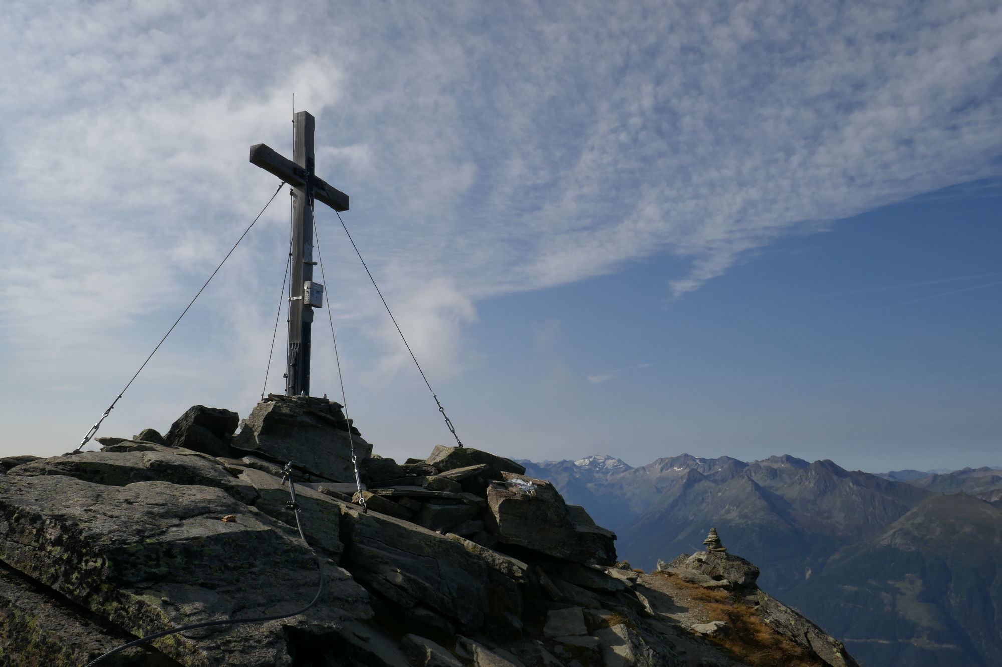
- 2.784m
2.600hm
1.400hm
14:00h

- Descrizione rapida
-
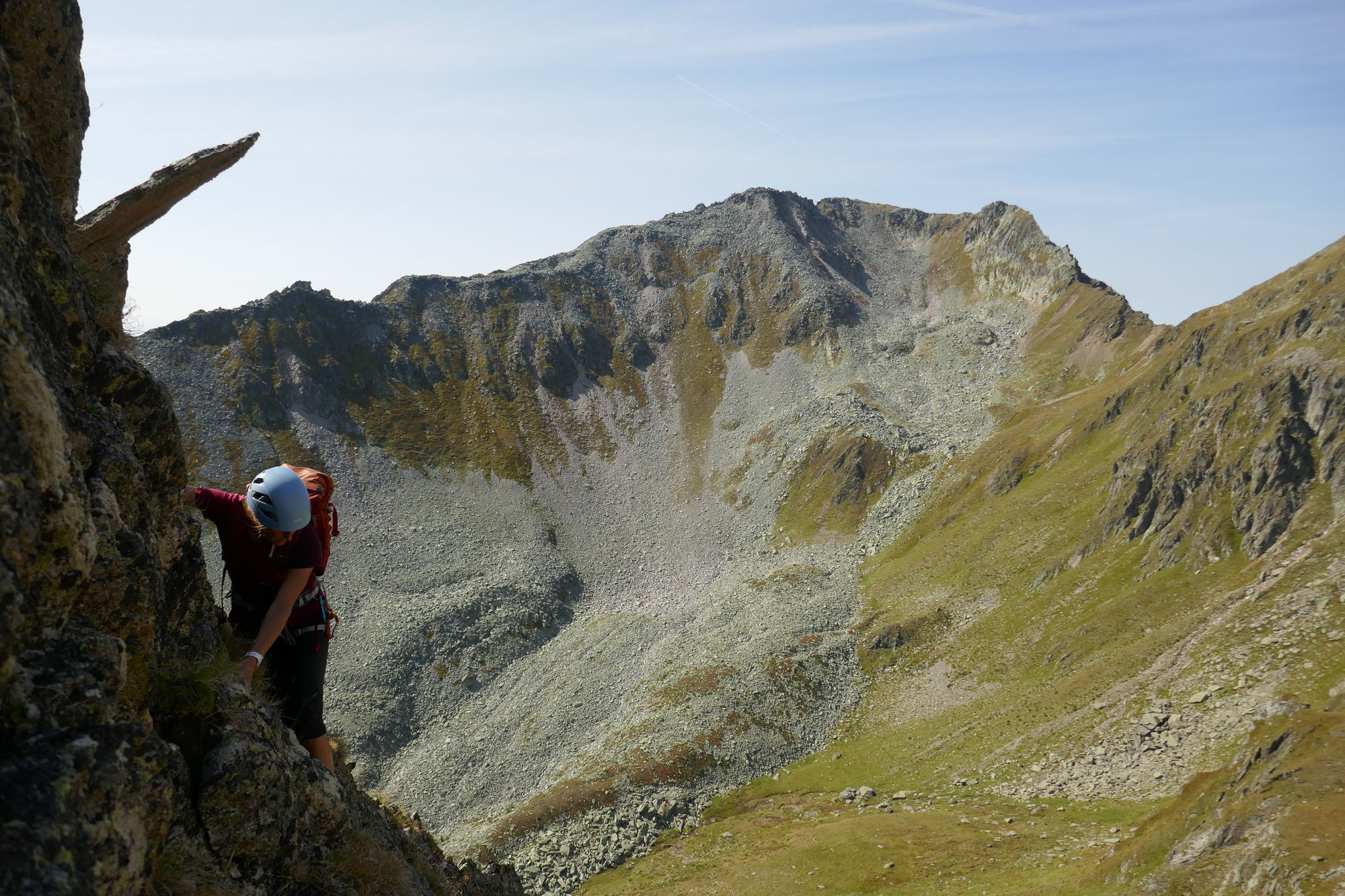
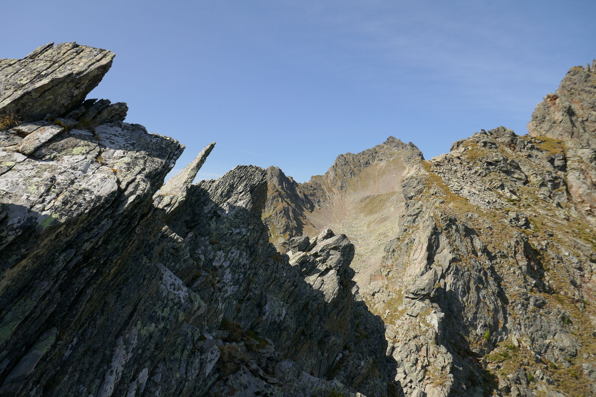
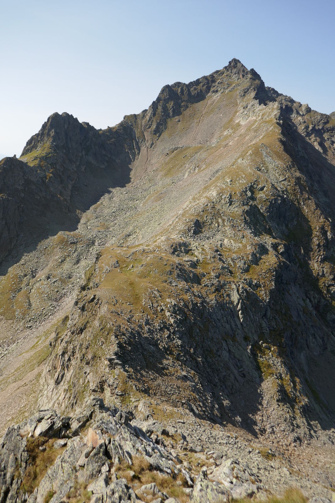
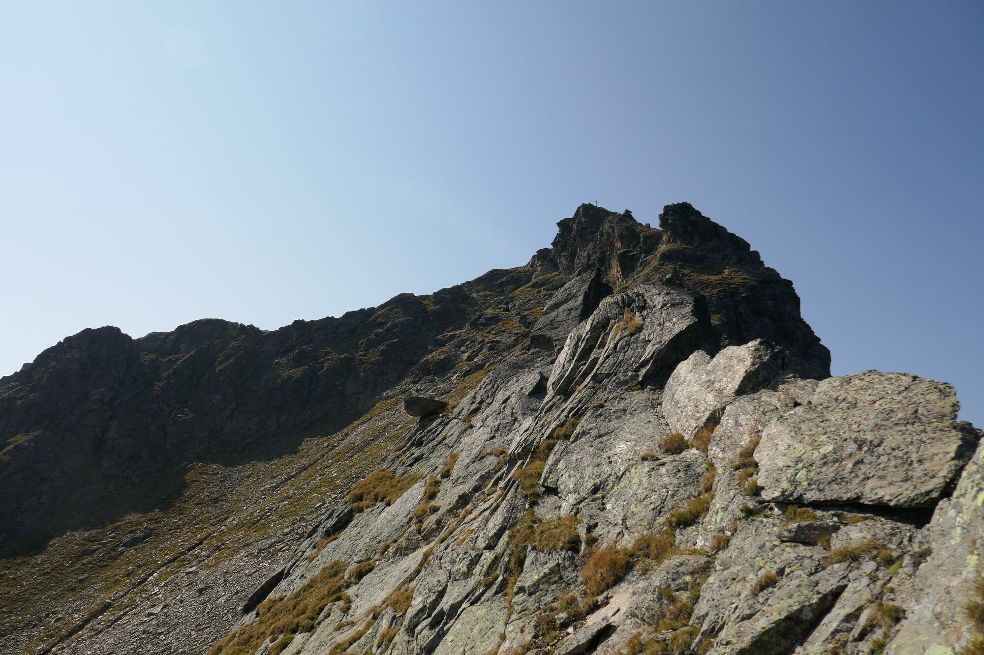
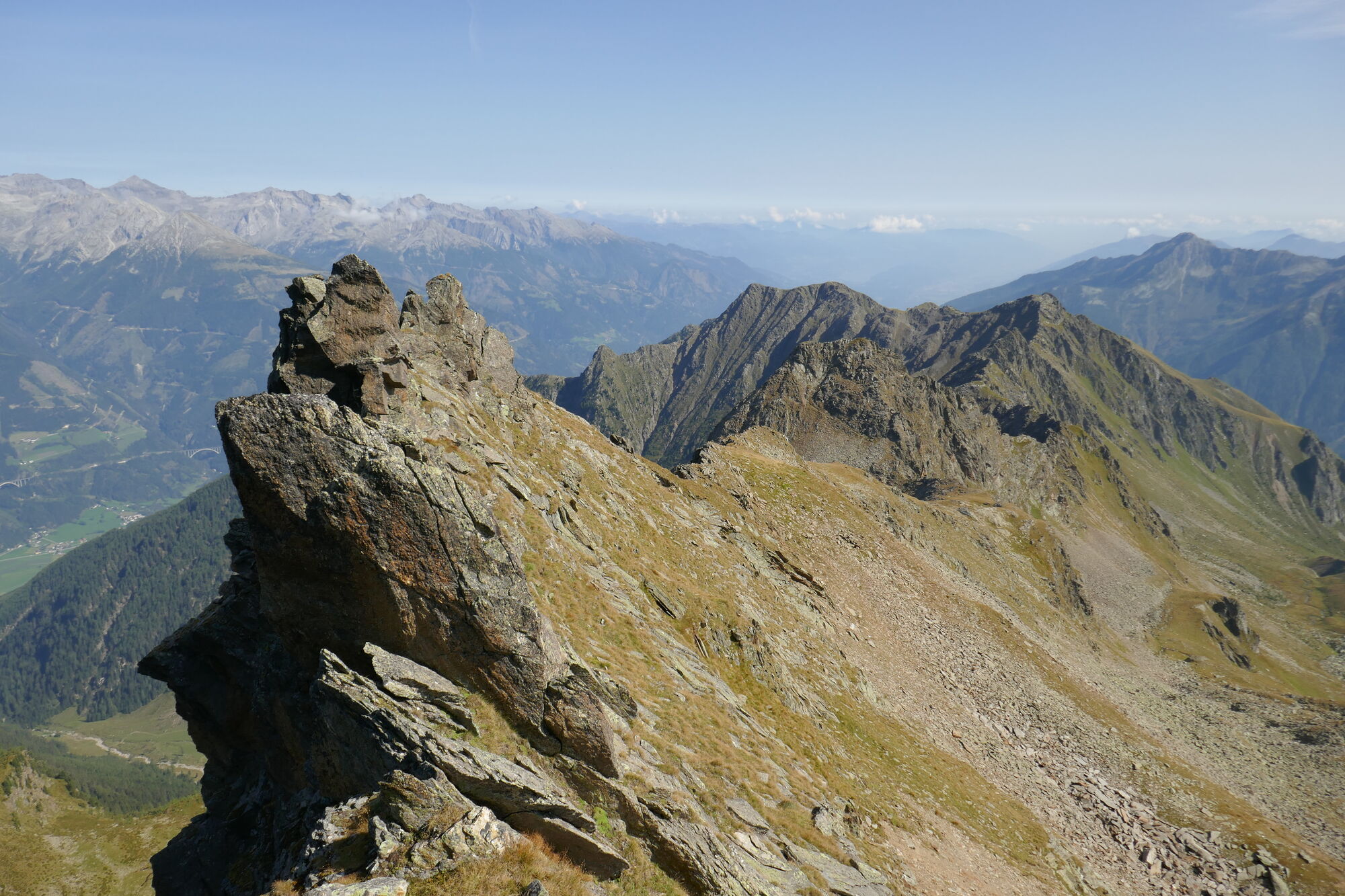
Lange Gratüberschreitung - 5,5km mit teilweiser Kraxelei - sehr schön und abwechslungsreich
- Difficoltà
-
difficile
- Valutazione
-
- Punto di partenza
-
Kohlstatt
- Percorso
-
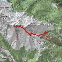
PenkKohlstatt0,2 kmTeuchlspitz (2.320 m)7,5 kmGamskarspitz (2.580 m)11,2 kmPolinik (2.784 m)12,1 kmEbeneck (2.131 m)15,2 kmPolinikhütte (1.873 m)15,8 km
- La stagione migliore
-
genfebmaraprmaggiulugagosetottnovdic
- Punto più alto
- Polinik (2.784 m)
- Destinazione
-
Polinikhütte / Kohlstatt
- Riposo/Ritiro
-
Auf der Tour keine - Polinikhütte ist sehr empfehlenswert - traumhaftes Panorama und überaus freundliche Leute!
- Informazioni
-
-
- Cartine
-
siehe Bergfex


- Fonte
- Petra und Christian
GPS Downloads


Condizioni dei sentieri
Asfalto
(3%)
Ghiaia
(27%)
Prato
(20%)
Foresta
(10%)
Roccia
(25%)
Esposta
(15%)
Altri tour nelle regioni