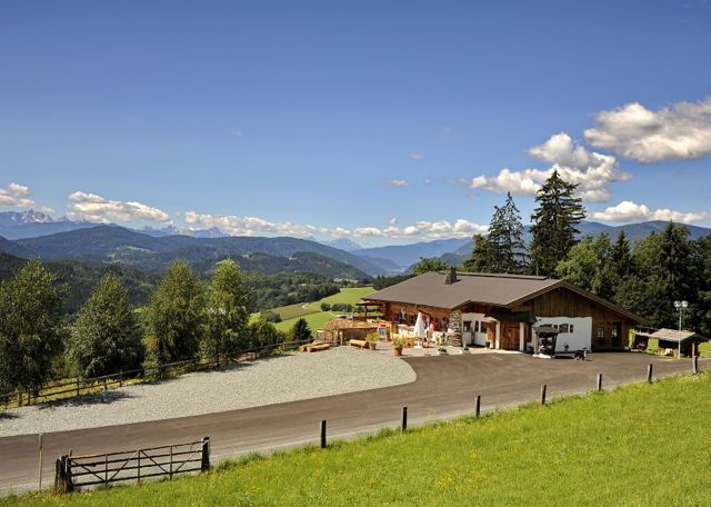
© Mittelkärnten - Tinefoto

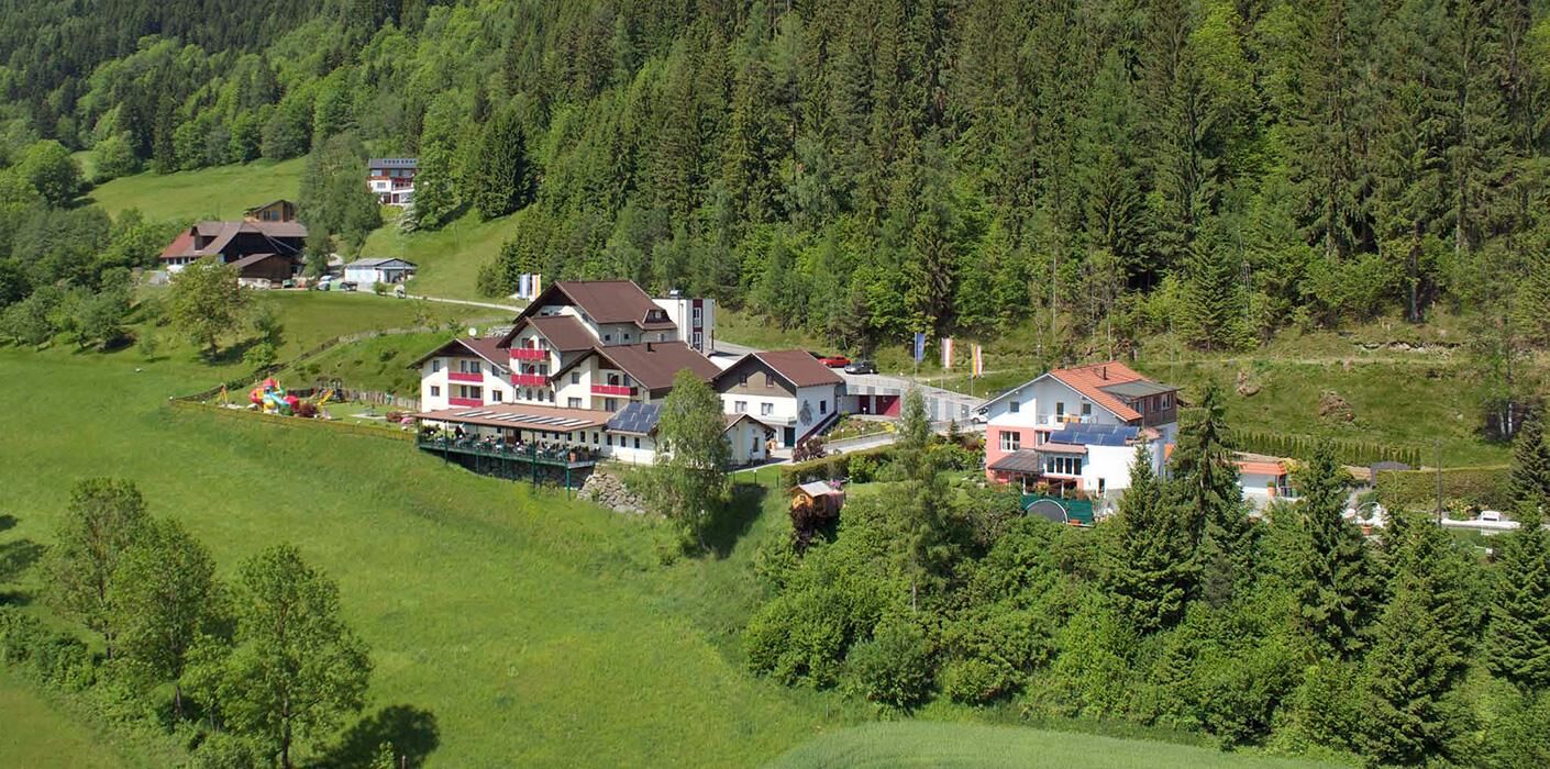
© Mittelkärnten - Tourismusregion Mittelkärnten

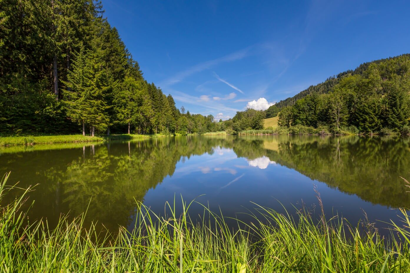
© Mittelkärnten - Kärnten Pictures

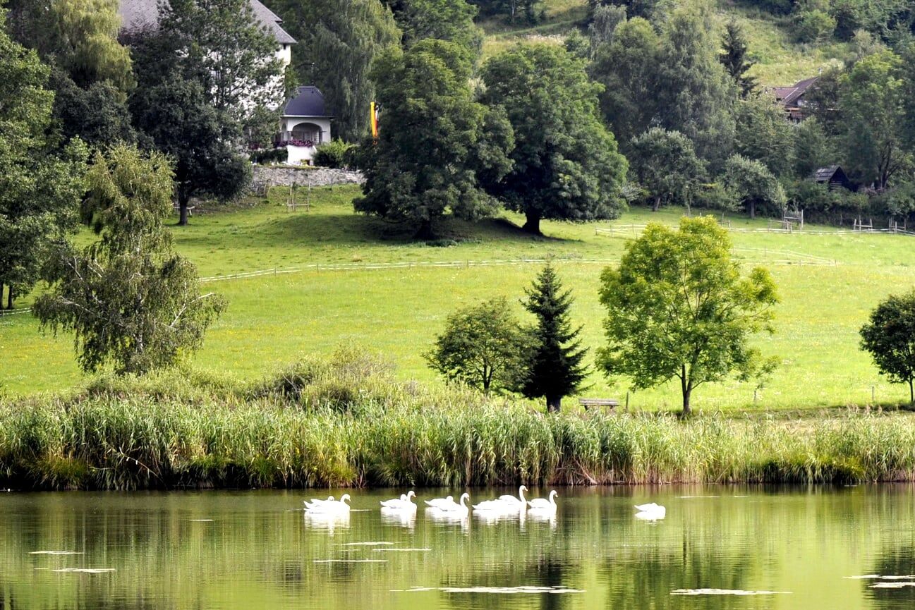
© Kärnten

© Mittelkärnten - Tourismusregion Mittelkärnten

© Tourismusregoin Mittelkärnten - Ingolf Wachs

© Mittelkärnten - Ferdinand Neumüller

- Descrizione rapida
-
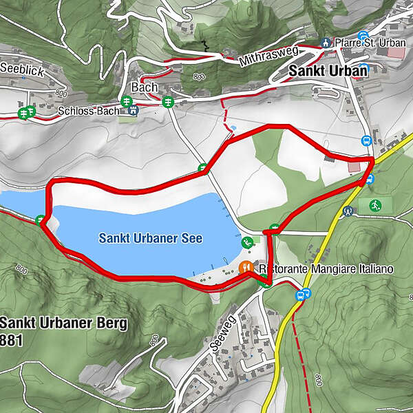
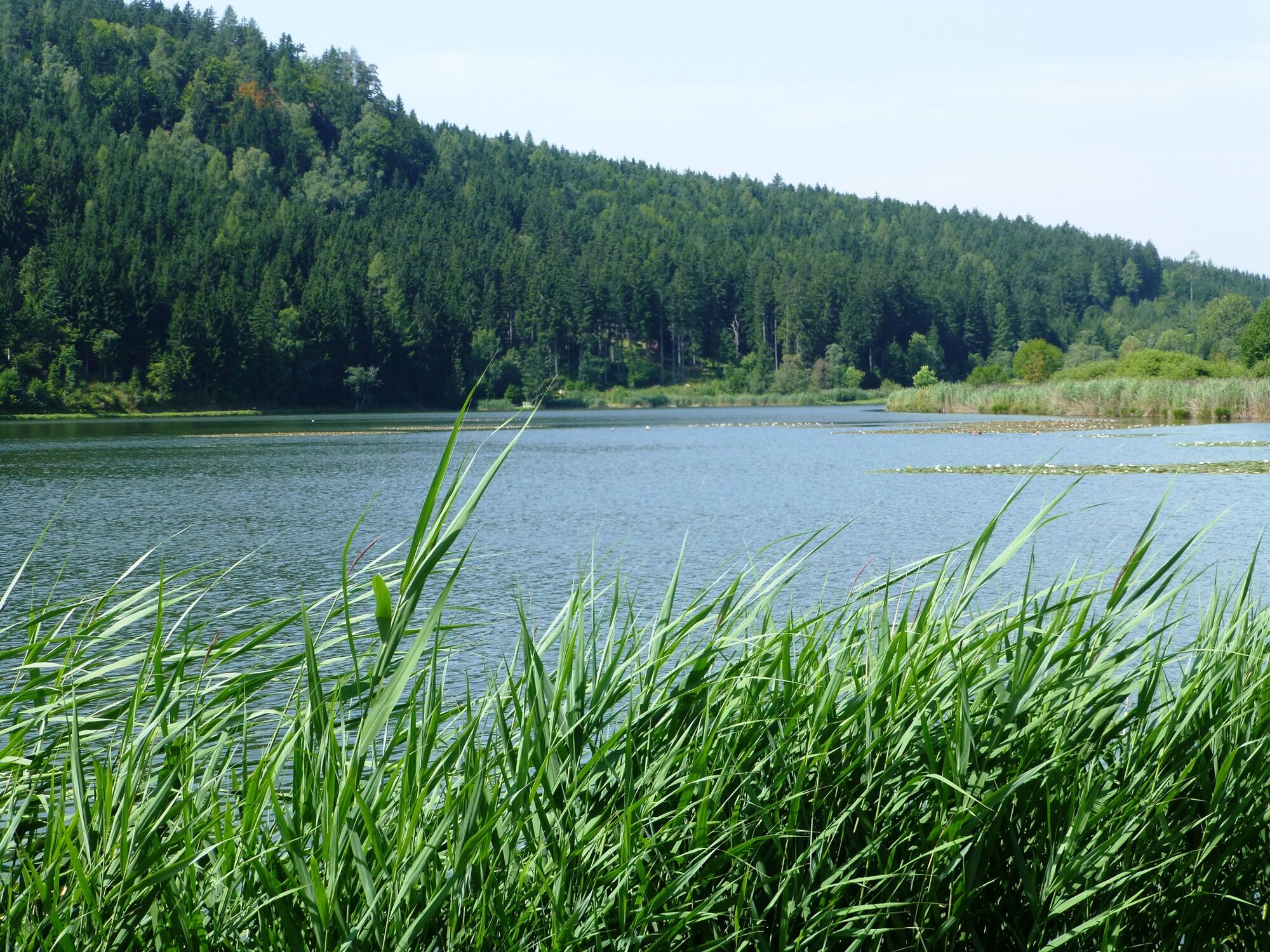
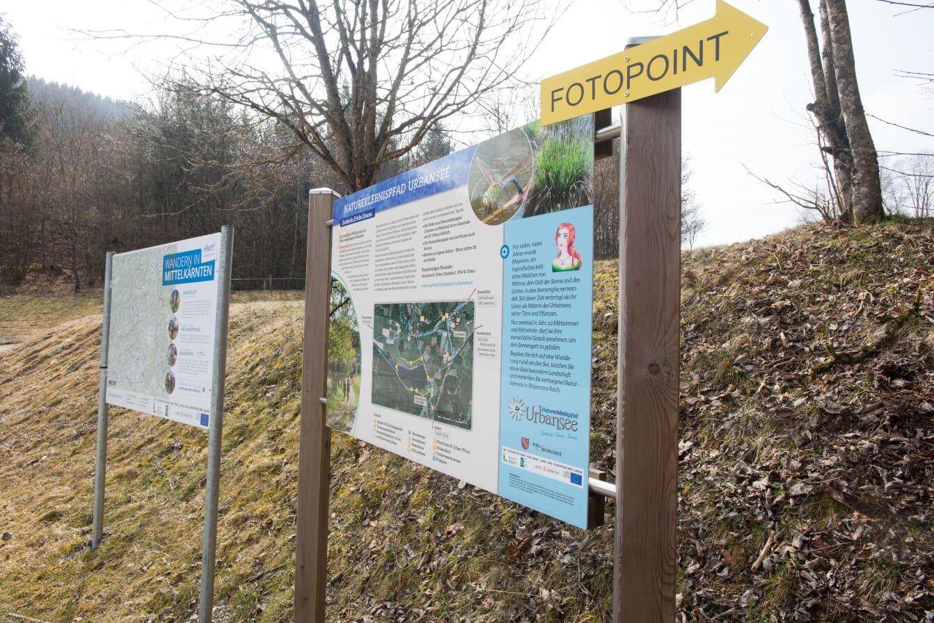
Kinderwagengerechte Rundwanderung am Naturerlebnispfad um den idyllischen Urbansee .
- Difficoltà
-
facile
- Valutazione
-
- Percorso
-
Ristorante Mangiare Italiano0,1 kmBach-Sankt Urban1,6 kmSankt Urban1,9 km
- La stagione migliore
-
genfebmaraprmaggiulugagosetottnovdic
- Punto più alto
- 748 m
- Destinazione
-
Strandbad St. Urban am Urbansee
- Profilo altimetrico
-


- Autore
-
Il tour Naturerlebnispfad Urbansee (Slow Trail) è utilizzato da outdooractive.com fornito.
GPS Downloads


Info generali
Punto di ristoro
Flora
Fauna
Altri tour nelle regioni