Karawanken - Hochobir 2.139m - Hike and Bike

Escursionismo

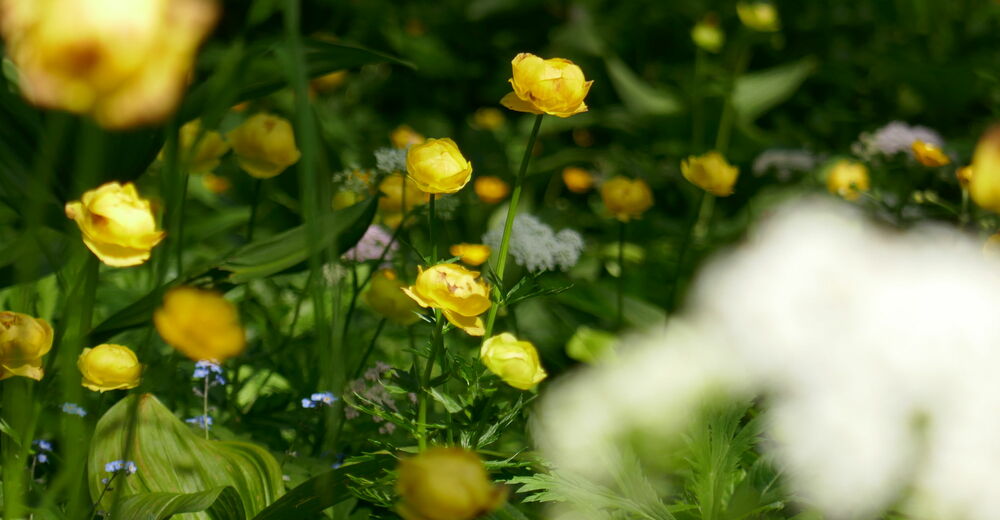
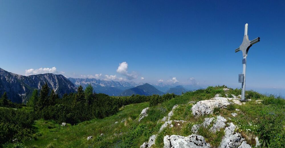
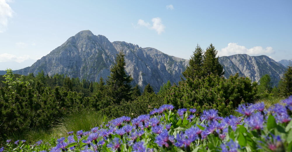
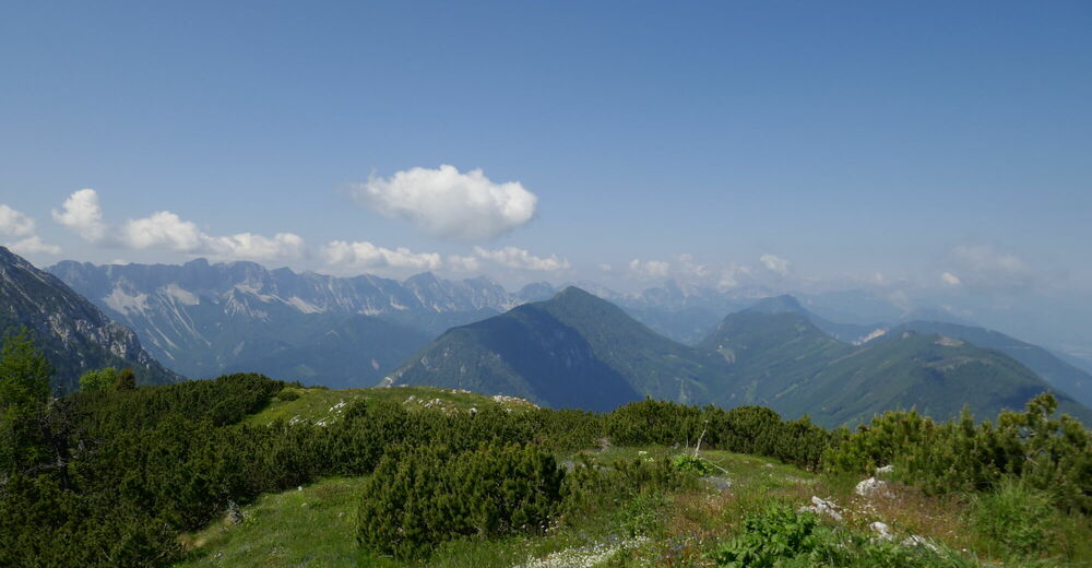
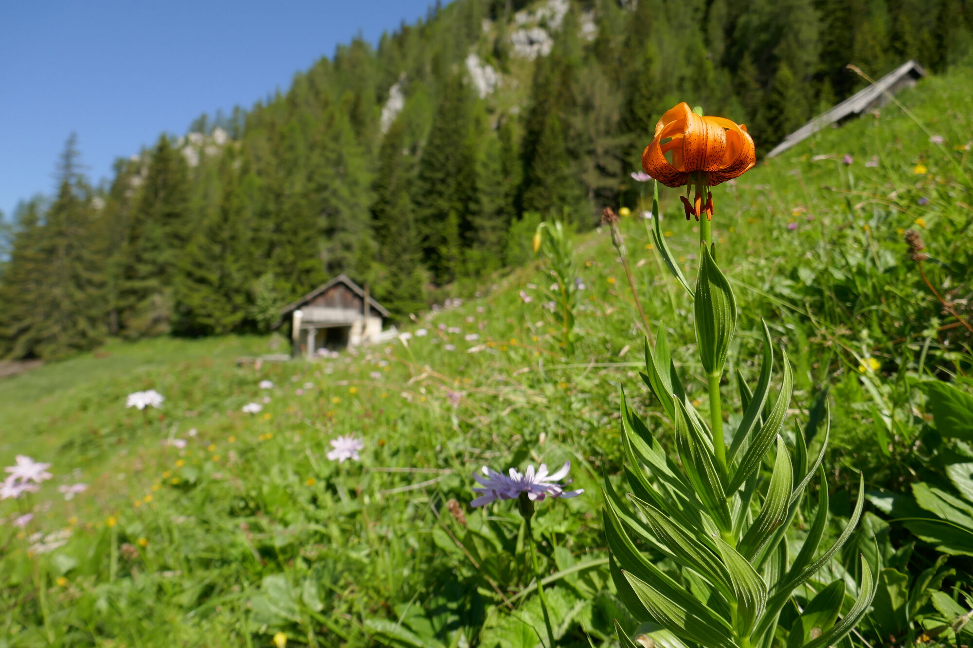
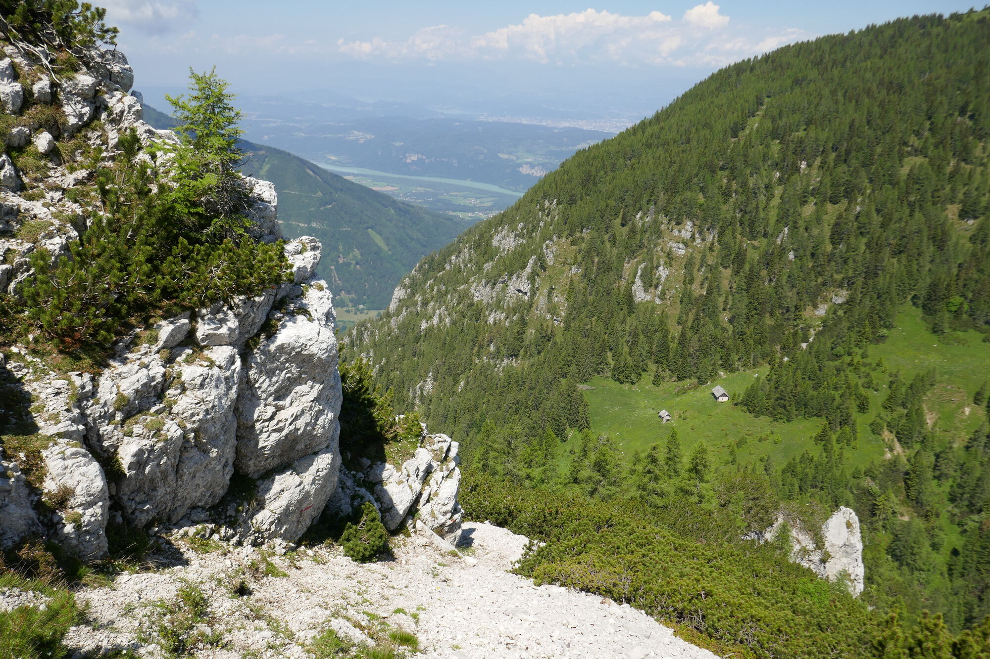
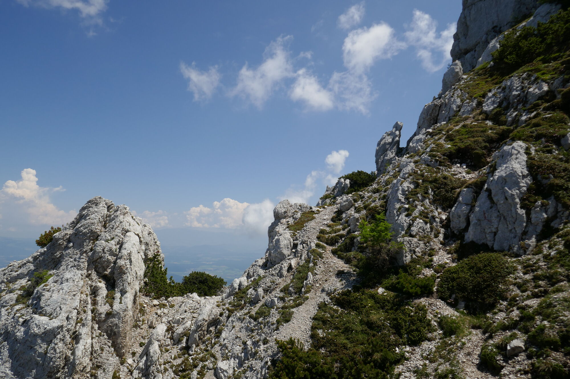
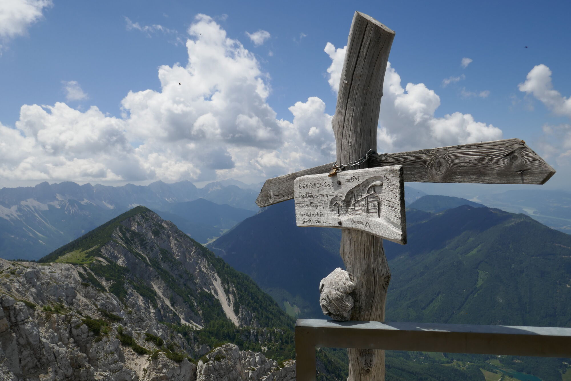
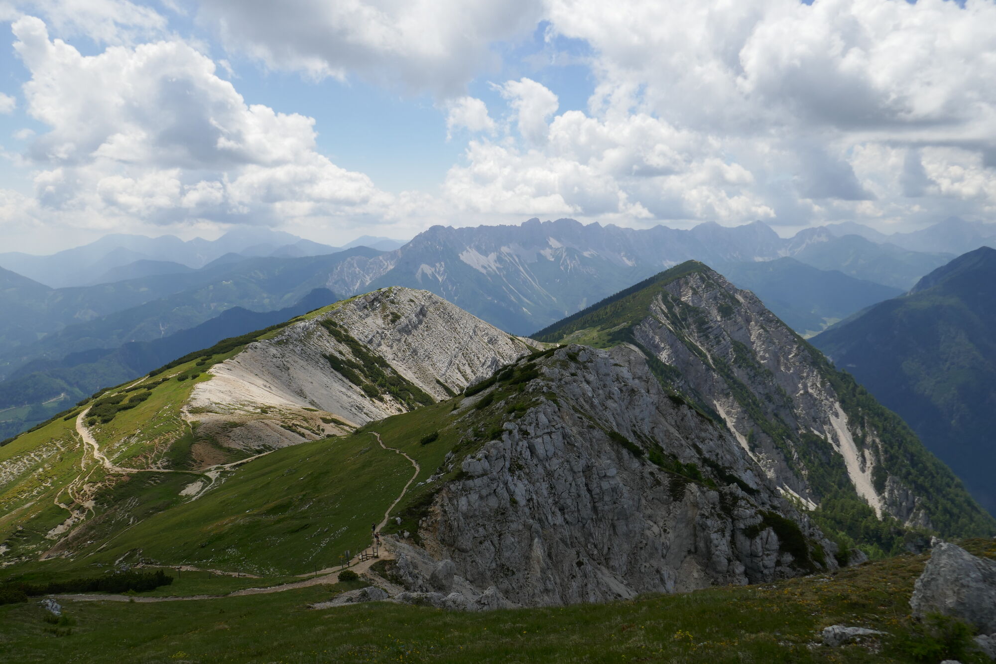
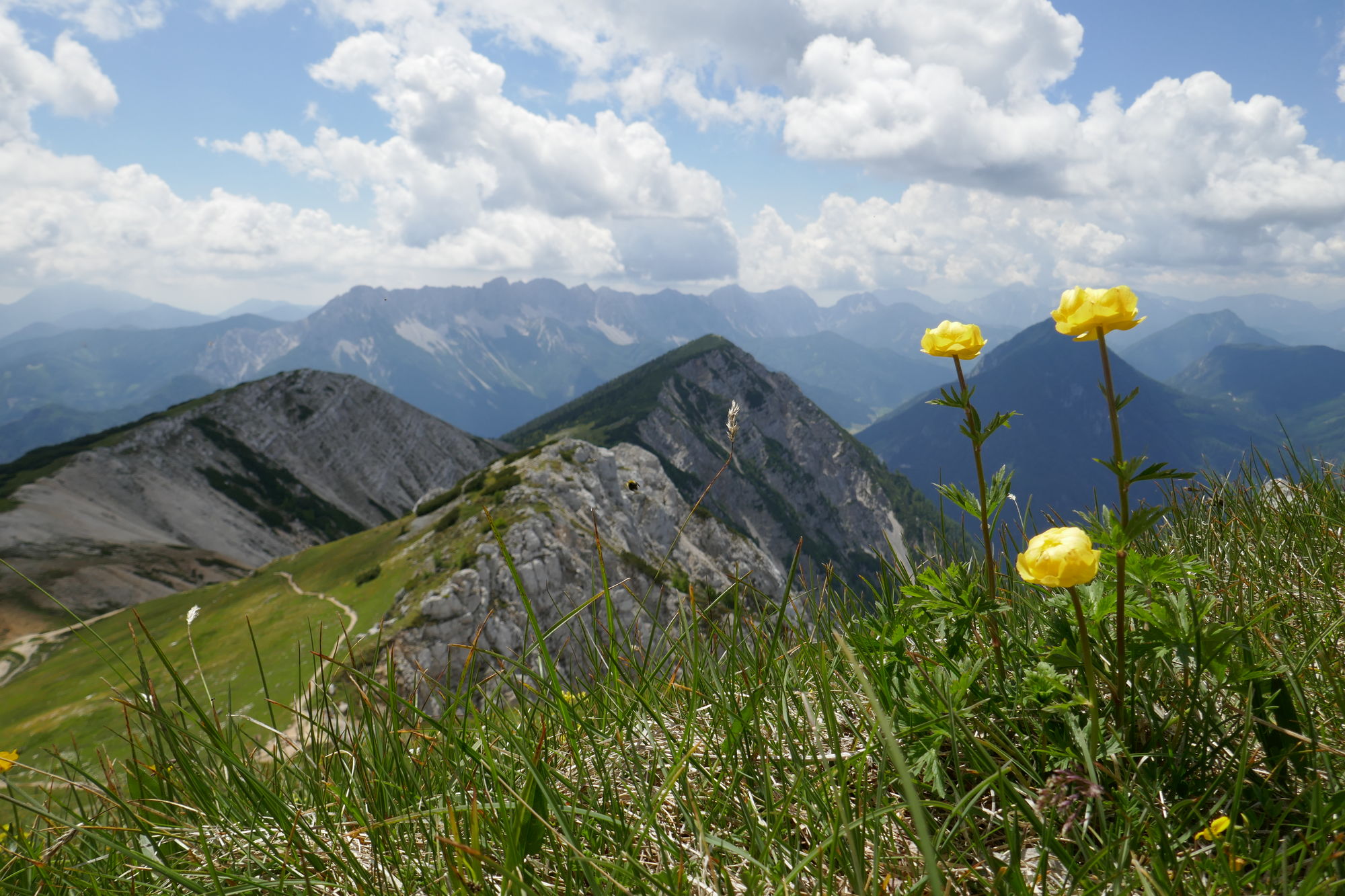
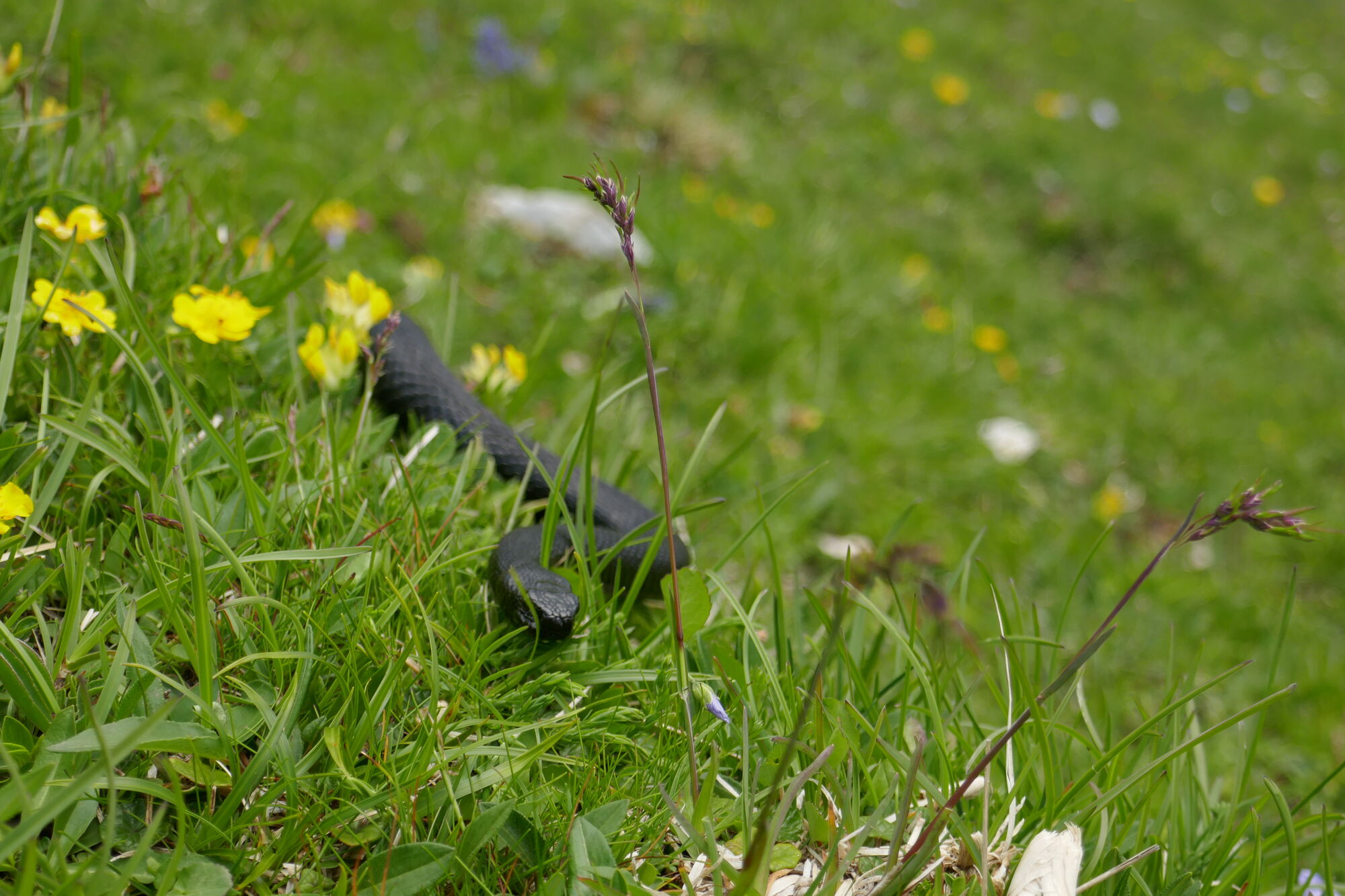
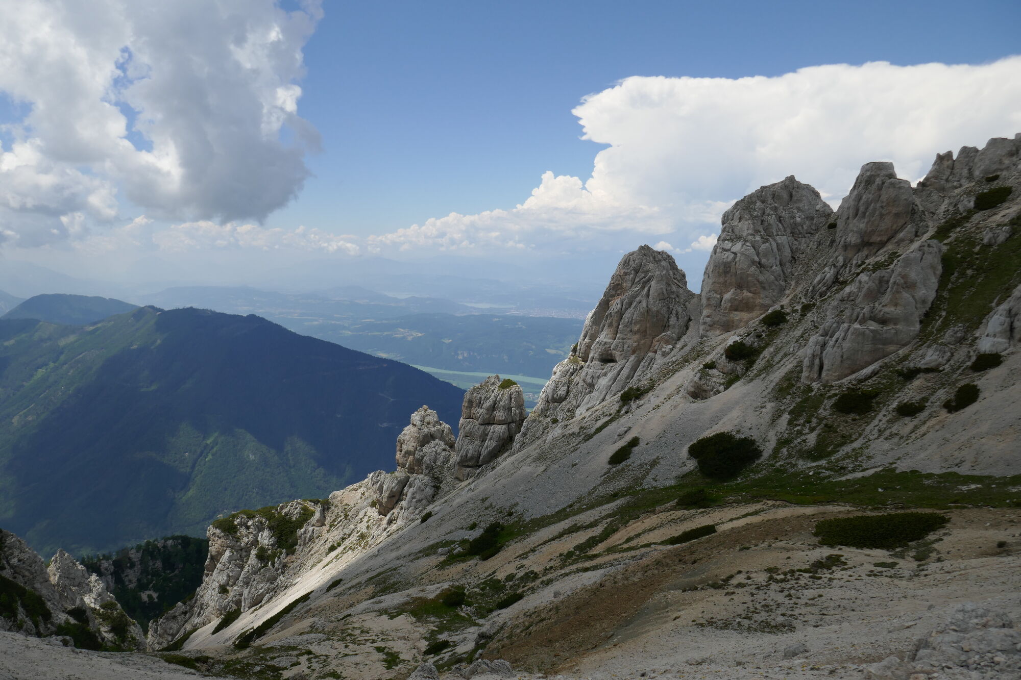
© Christian Herold
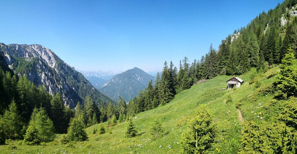
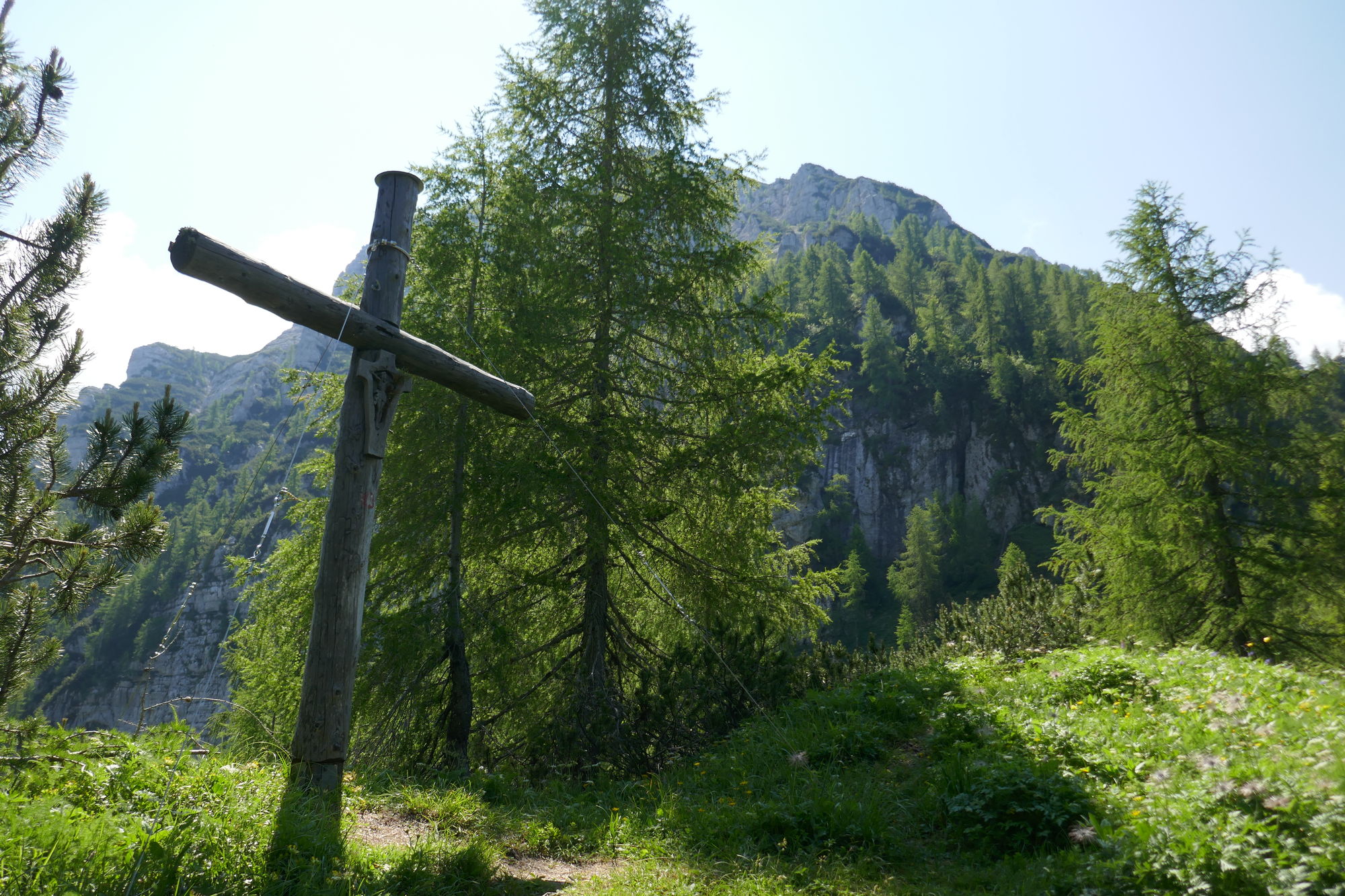
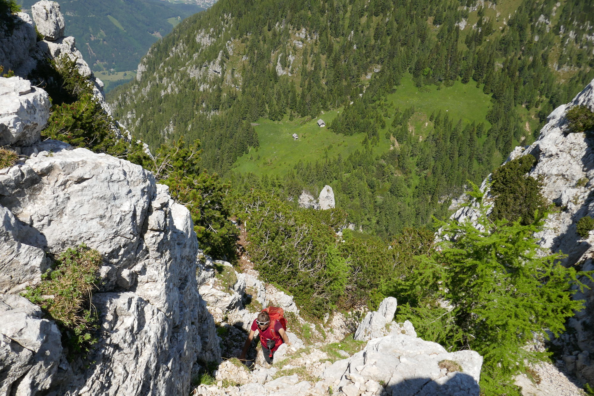
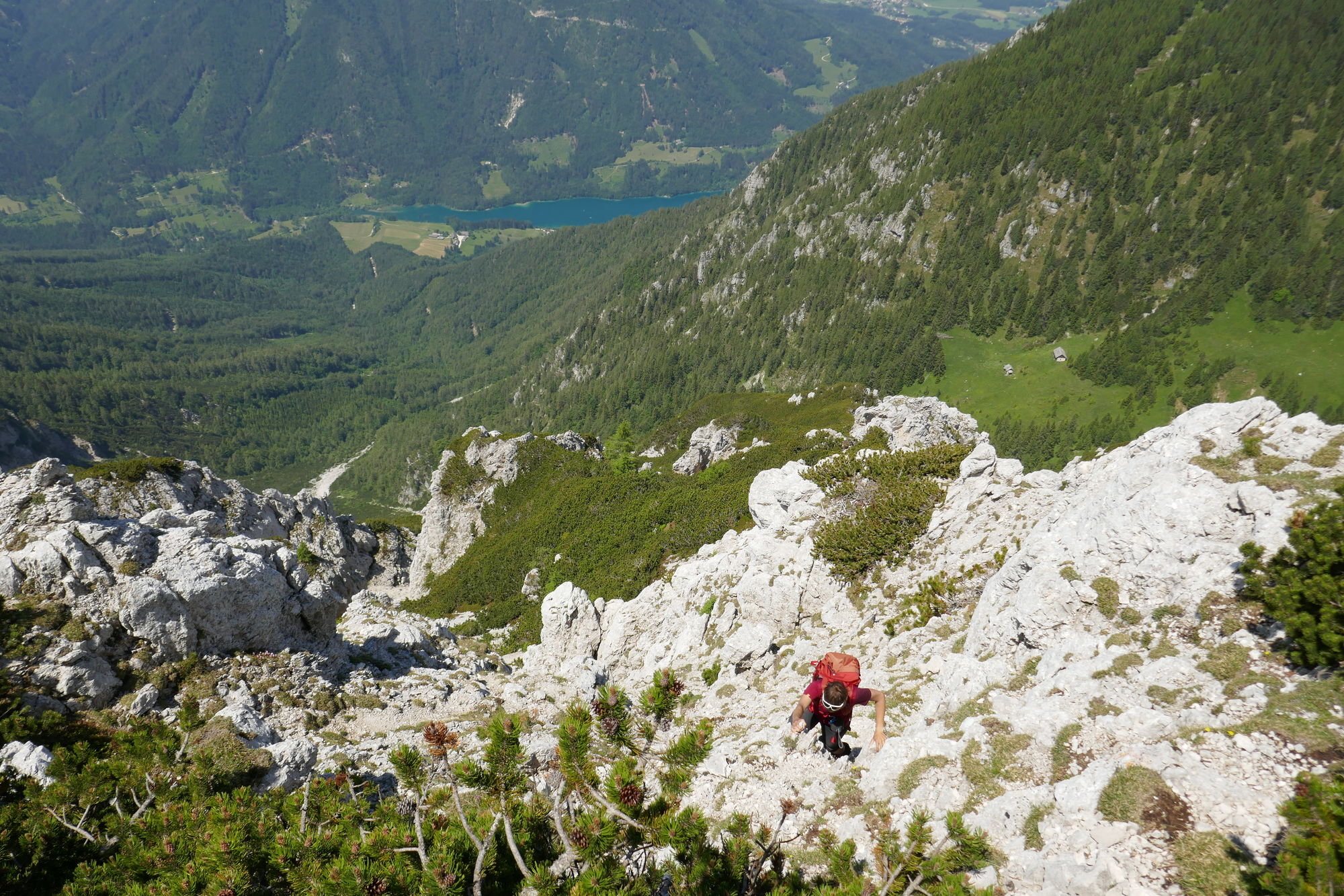
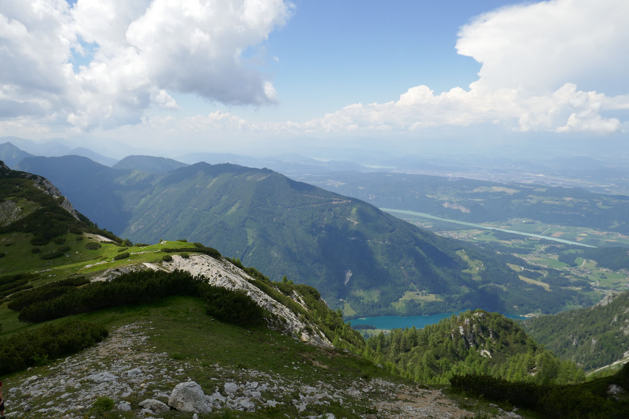
© Christian Herold
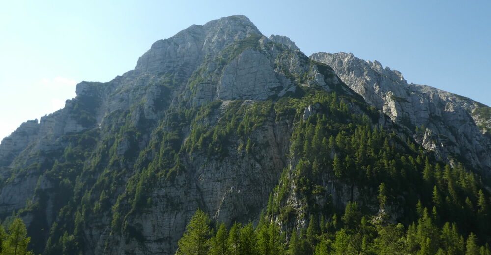
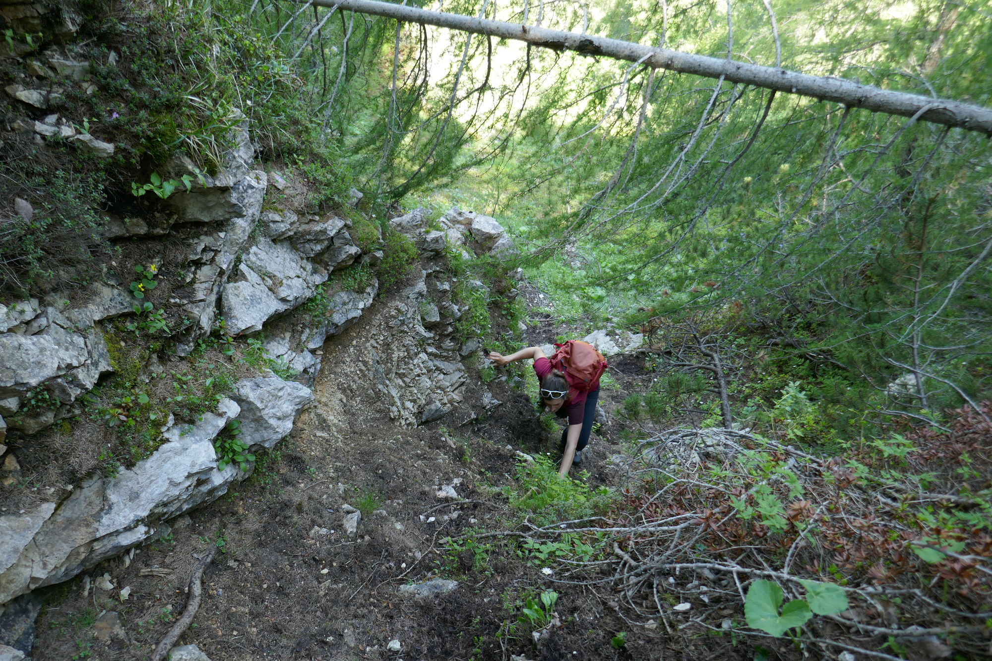
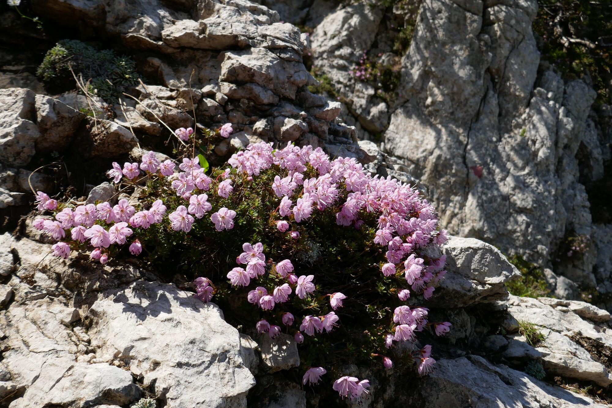
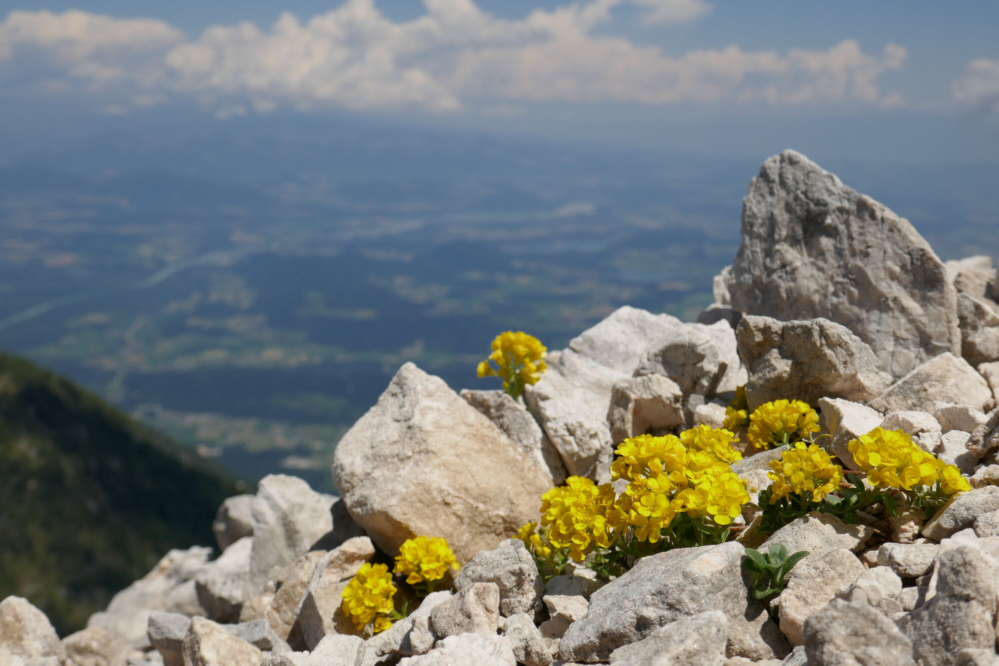
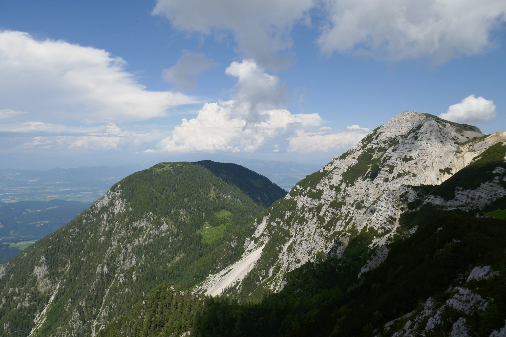
© Christian Herold
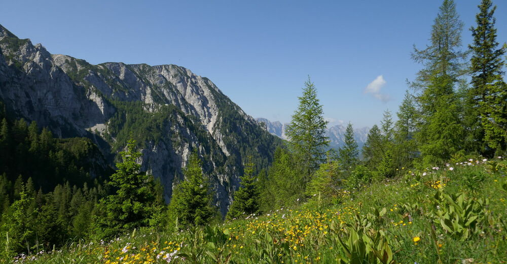
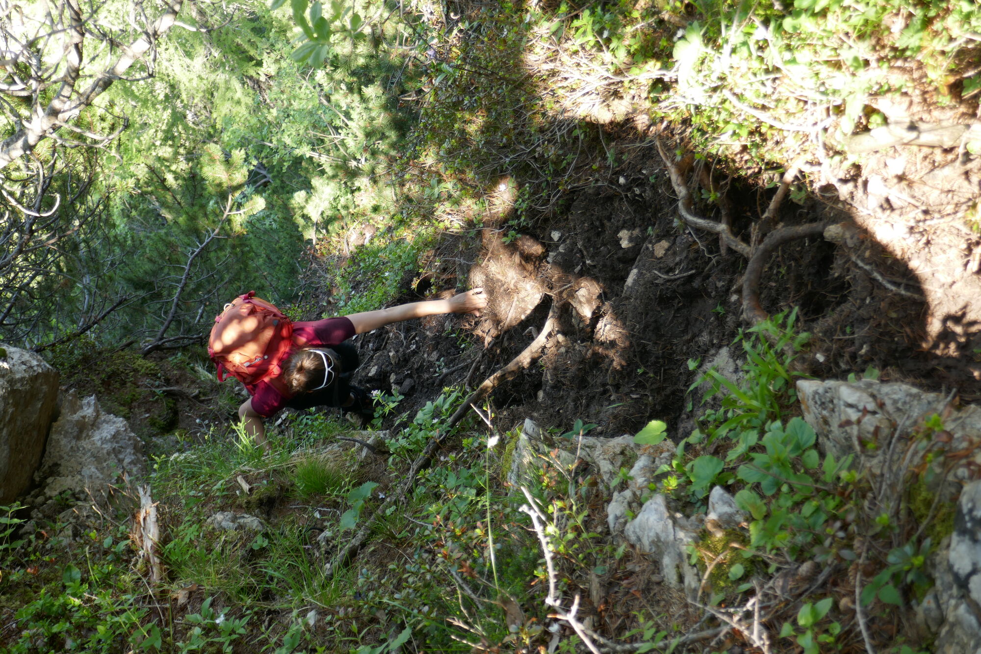
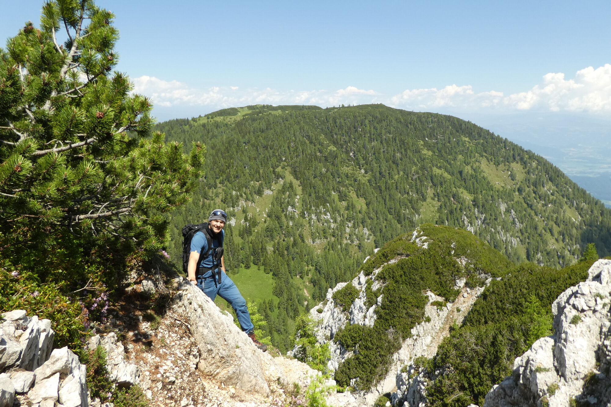
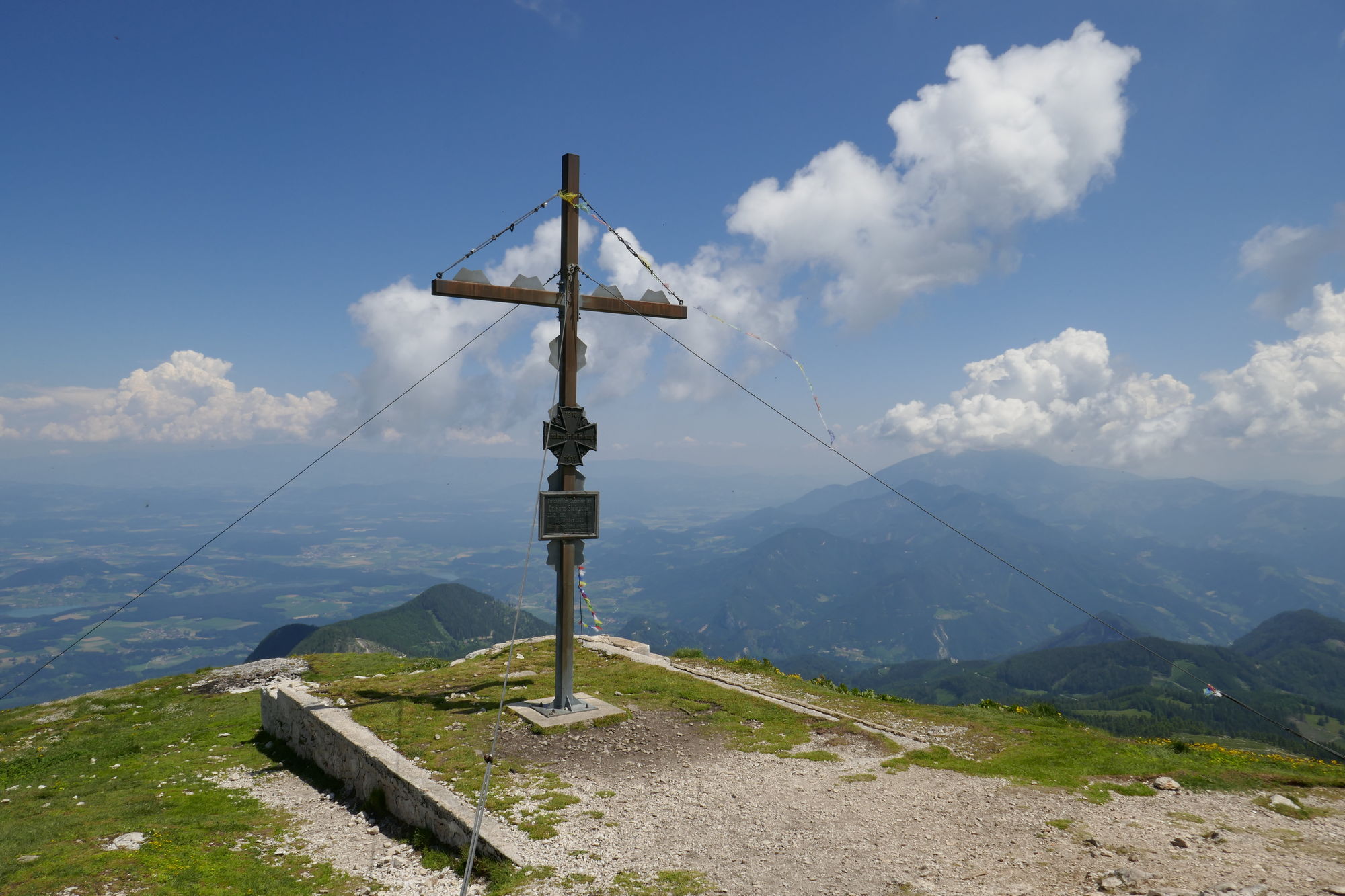
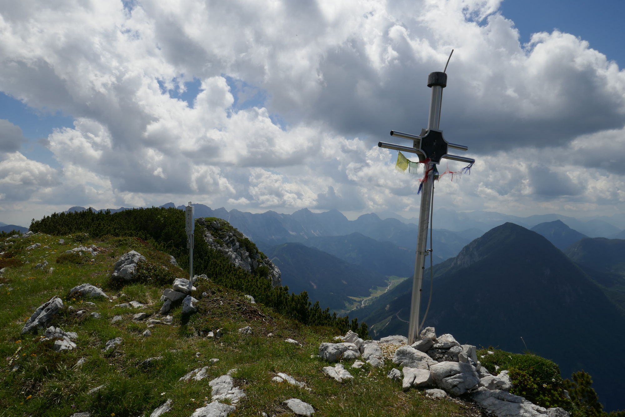
© Christian Herold
© Christian Herold
© Christian Herold
© Christian Herold
© Christian Herold
© Petra Reiberger
© Christian Herold
Dati percorsi
15km
511
- 2.139m
2.050hm
1.400hm
08:00h
- Descrizione rapida
-
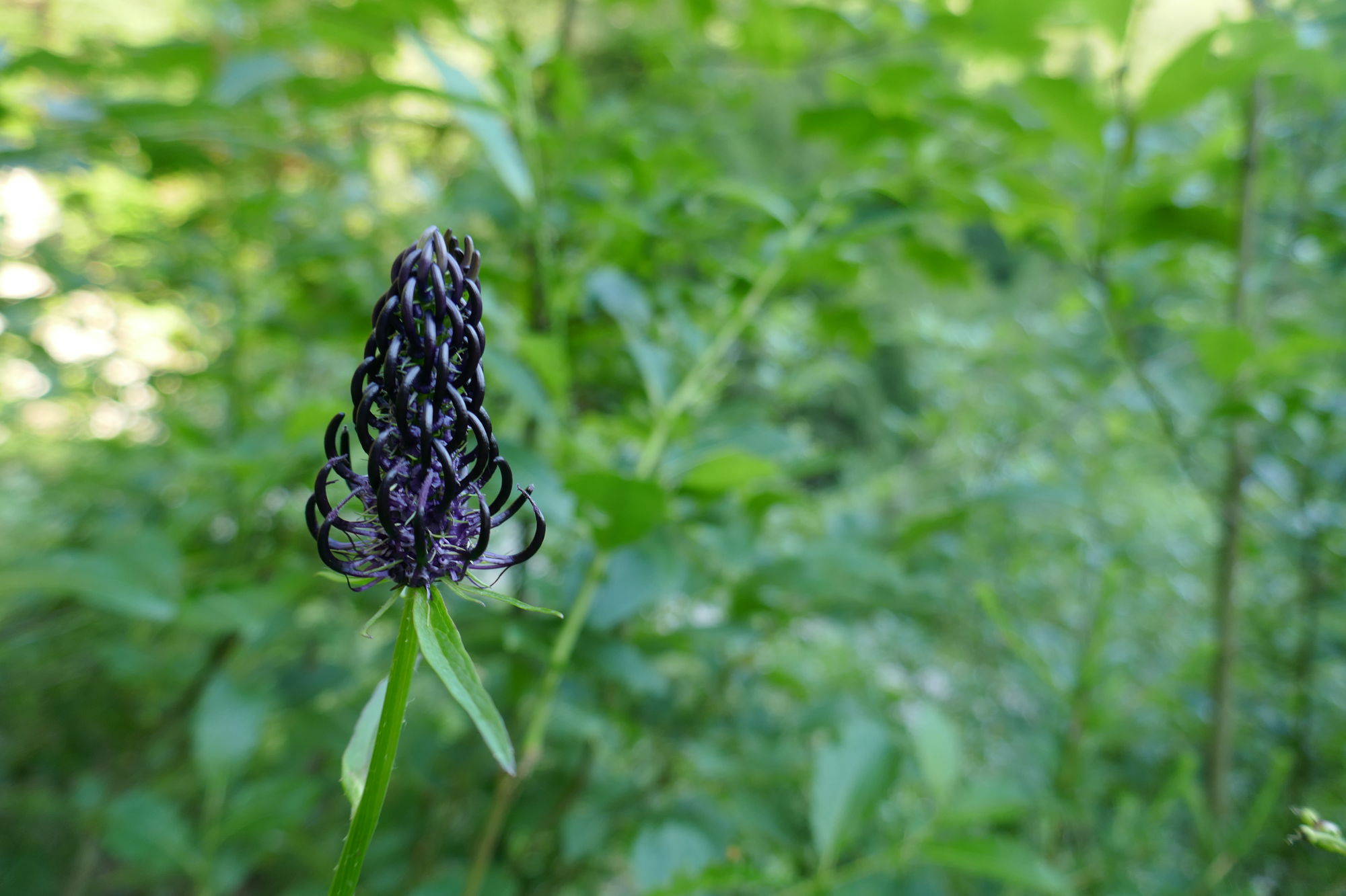
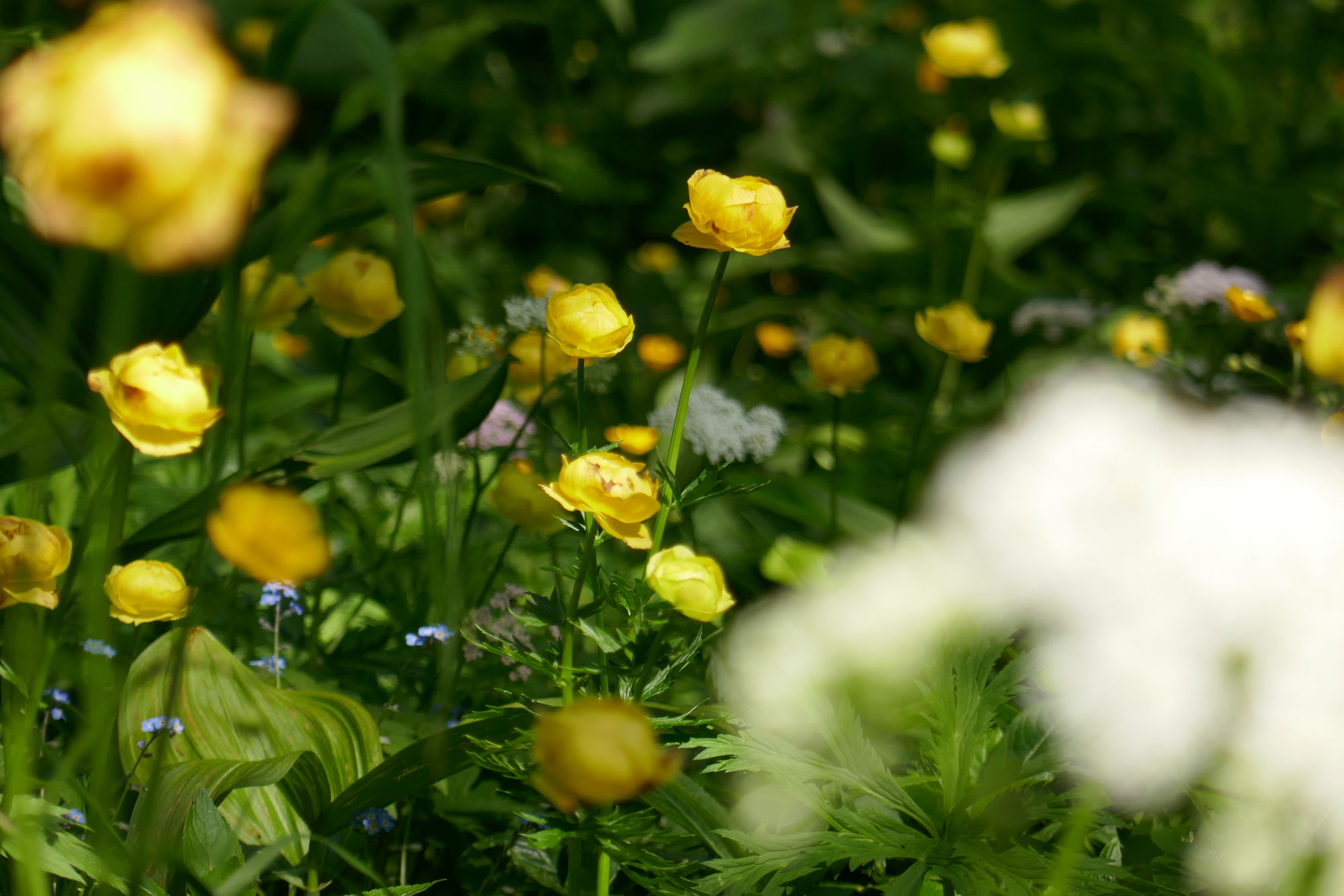
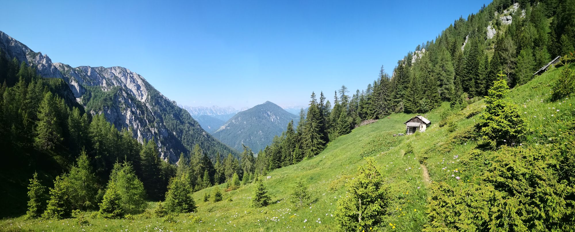
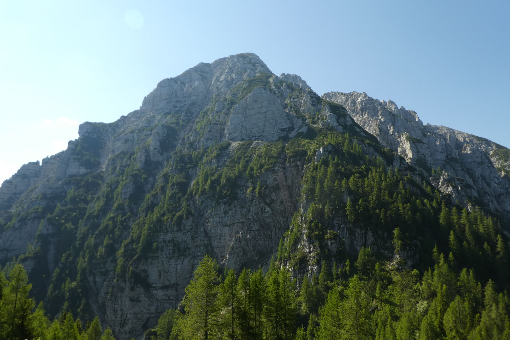
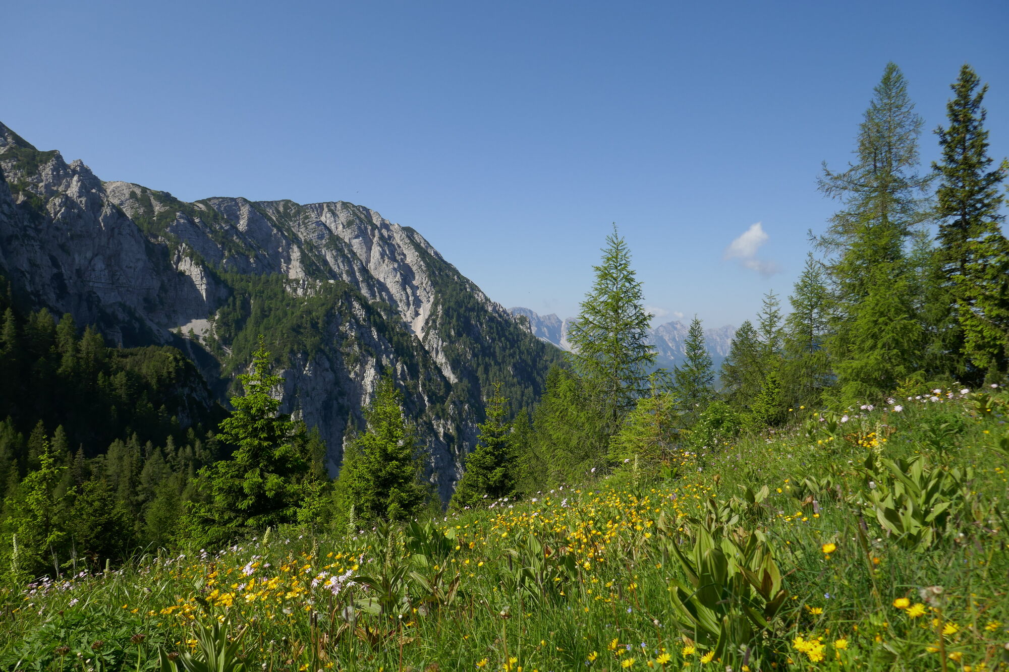
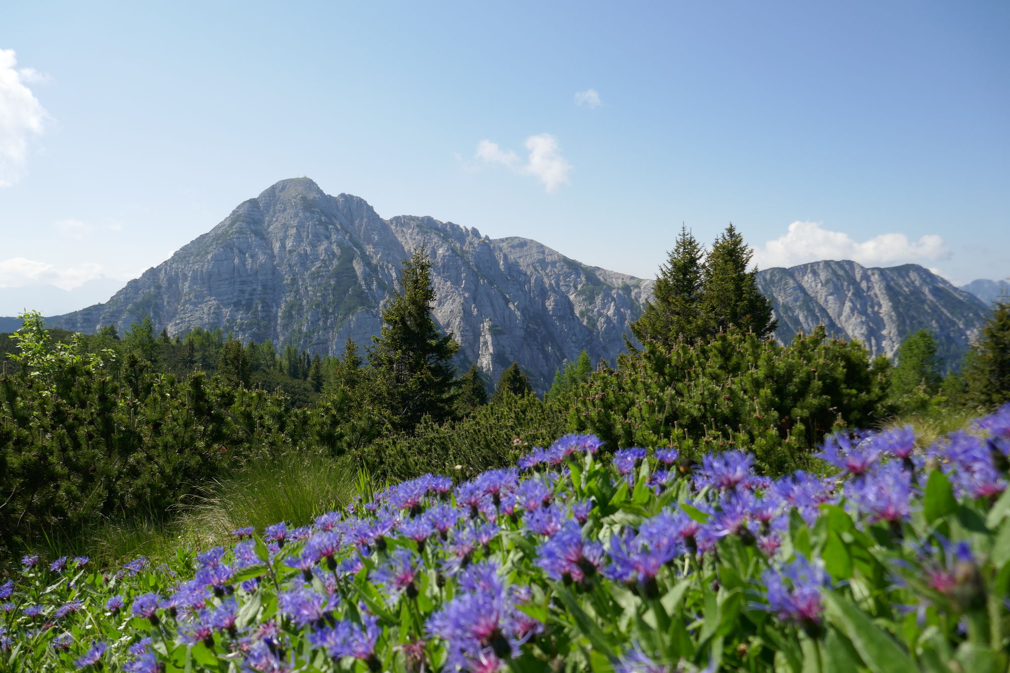
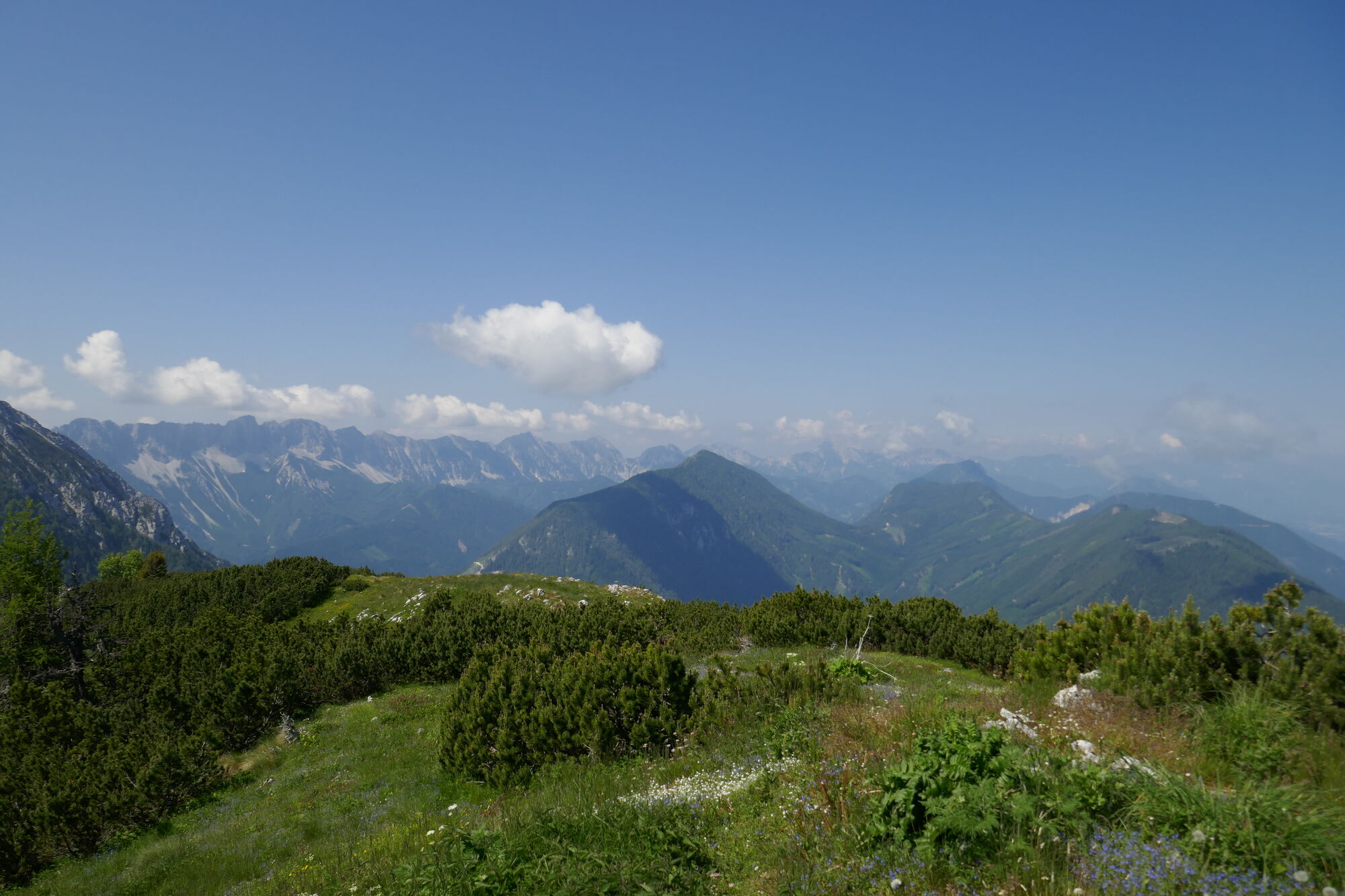
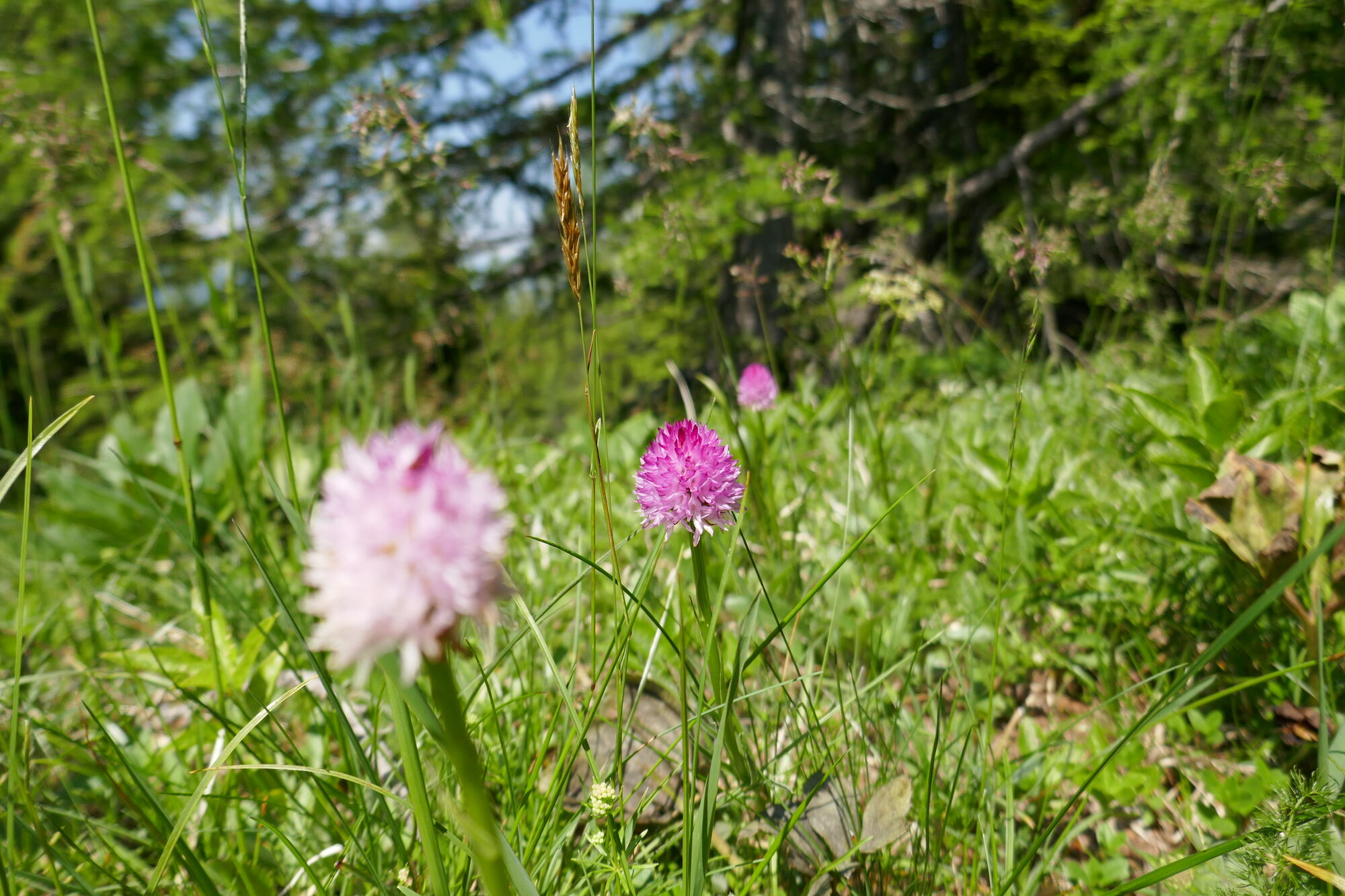
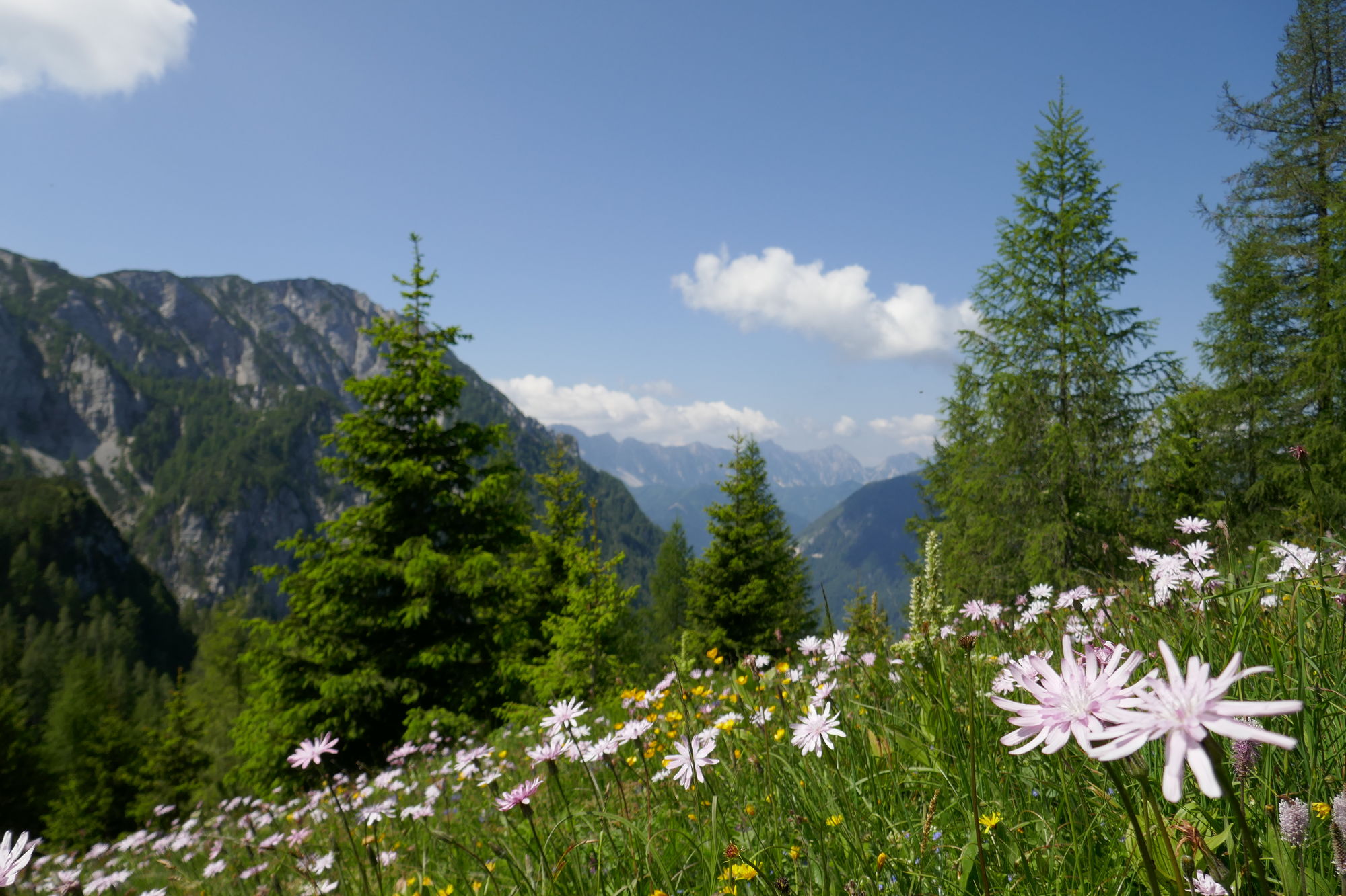
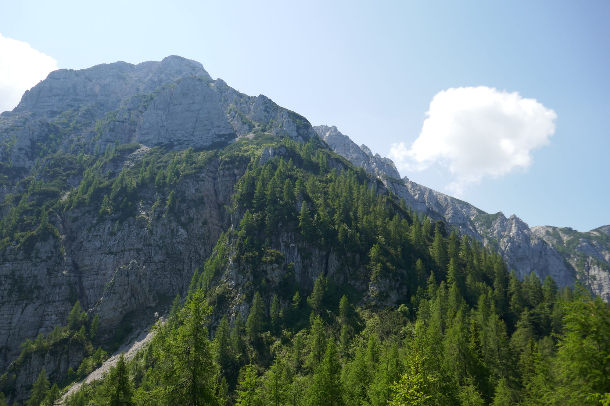
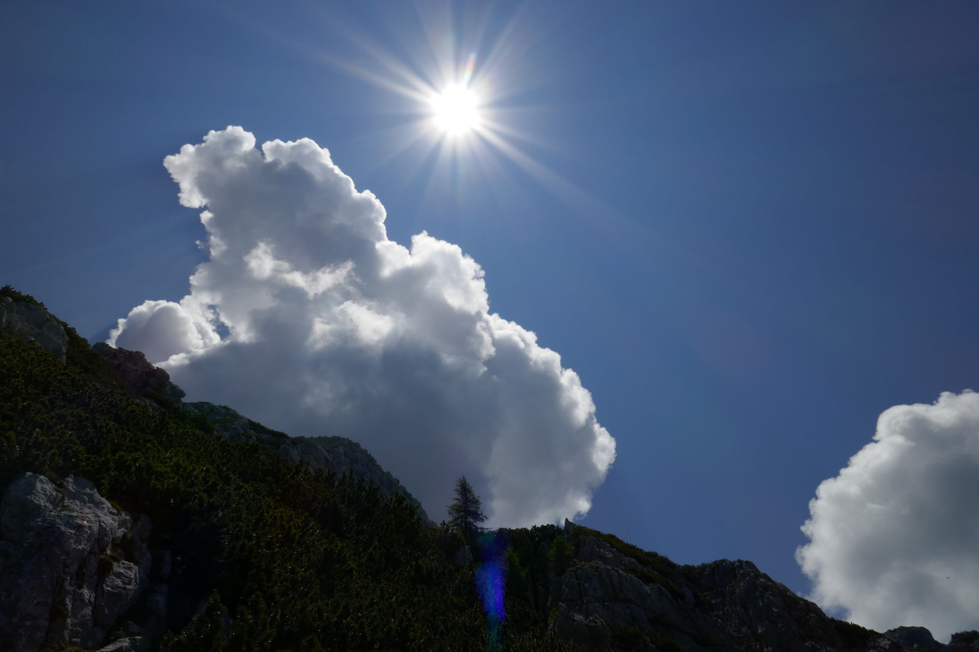
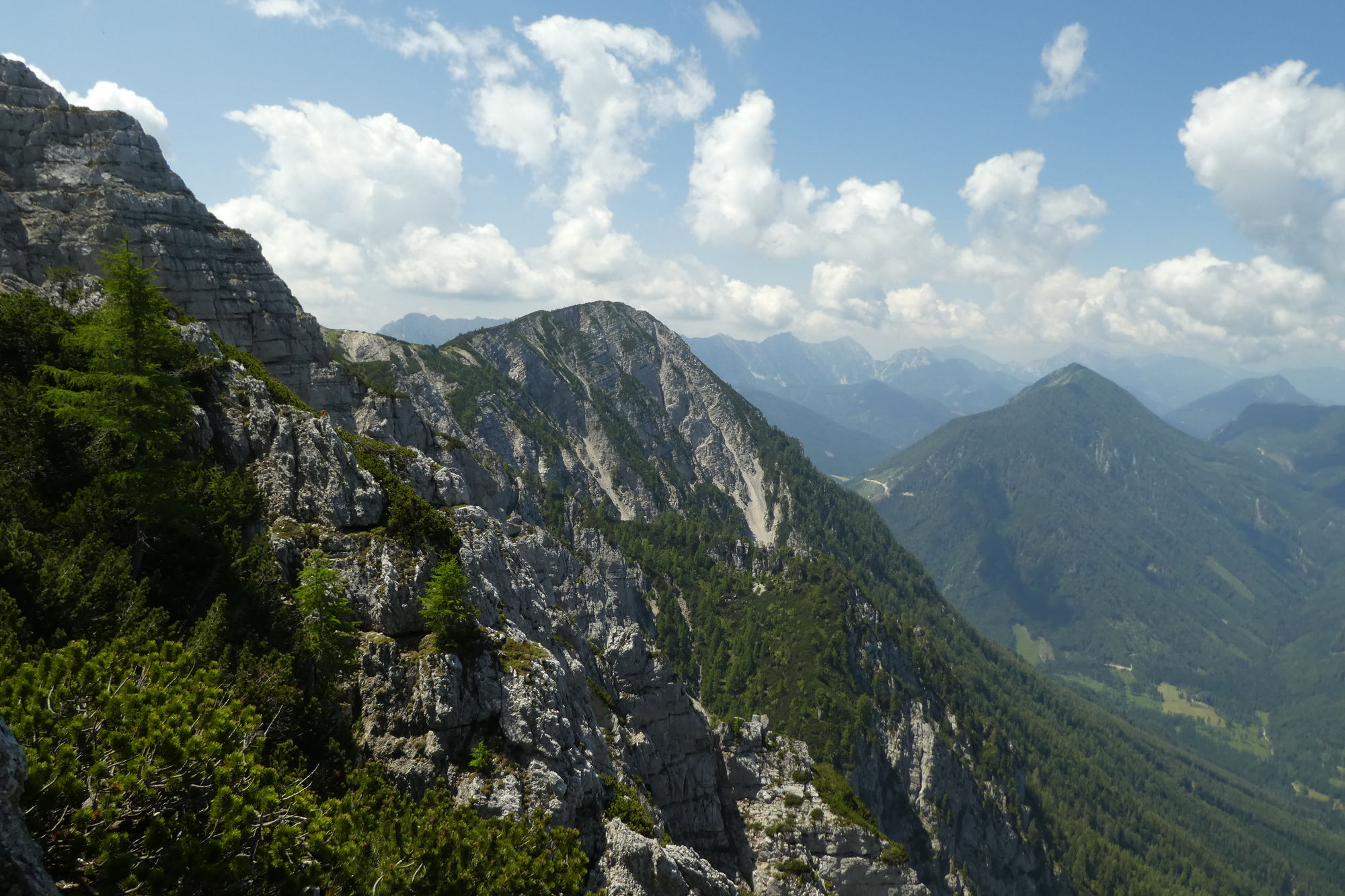
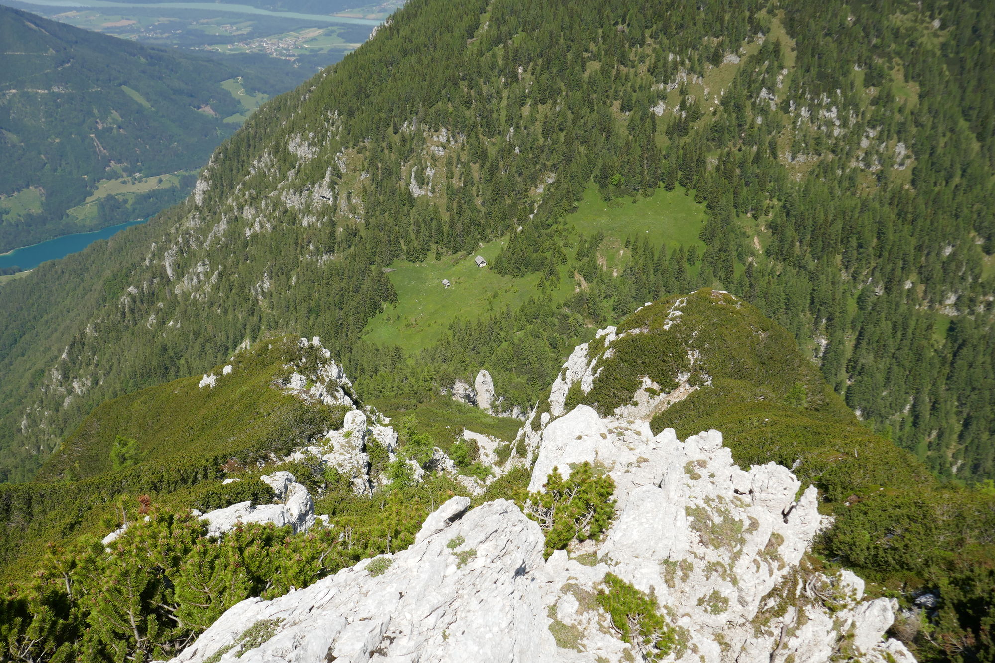
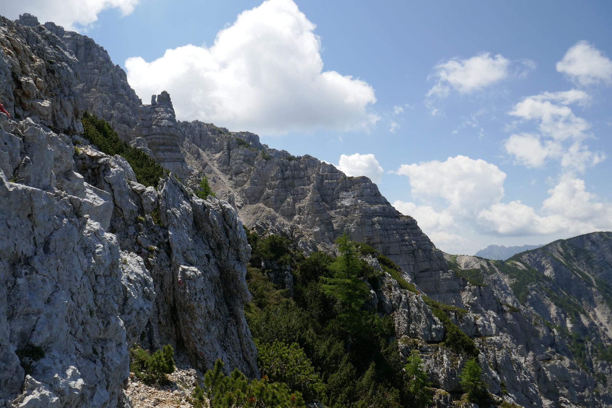
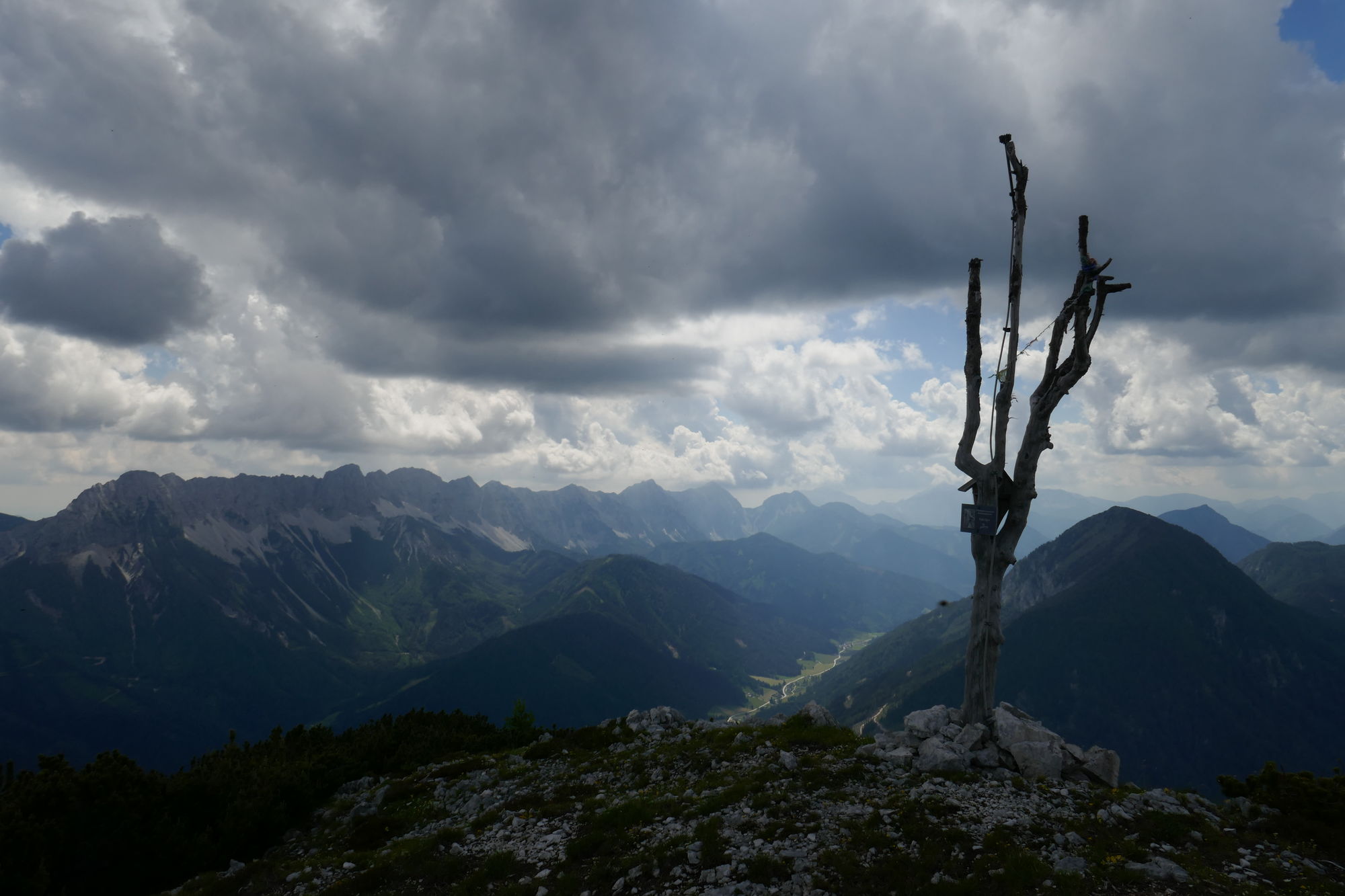
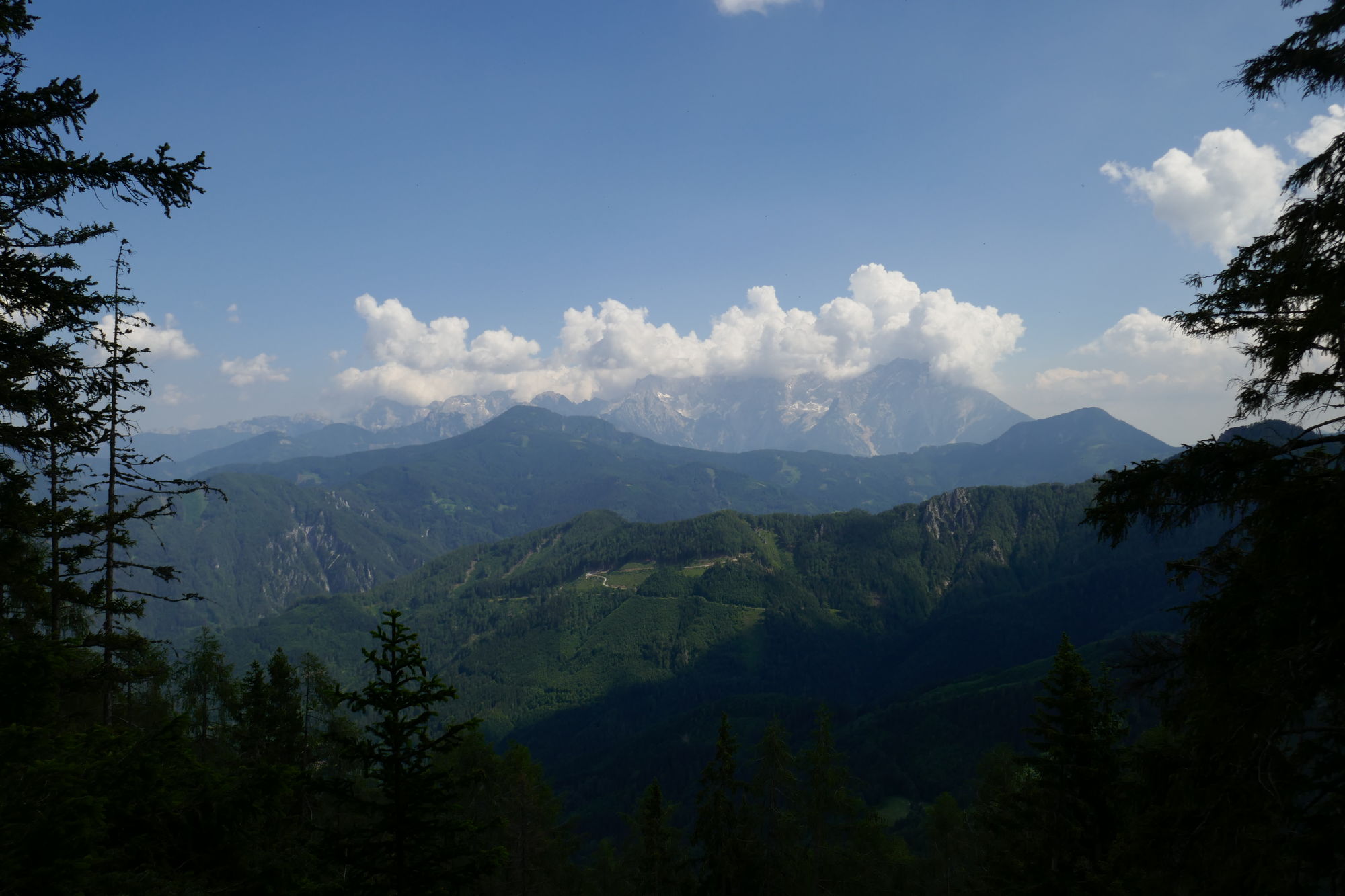
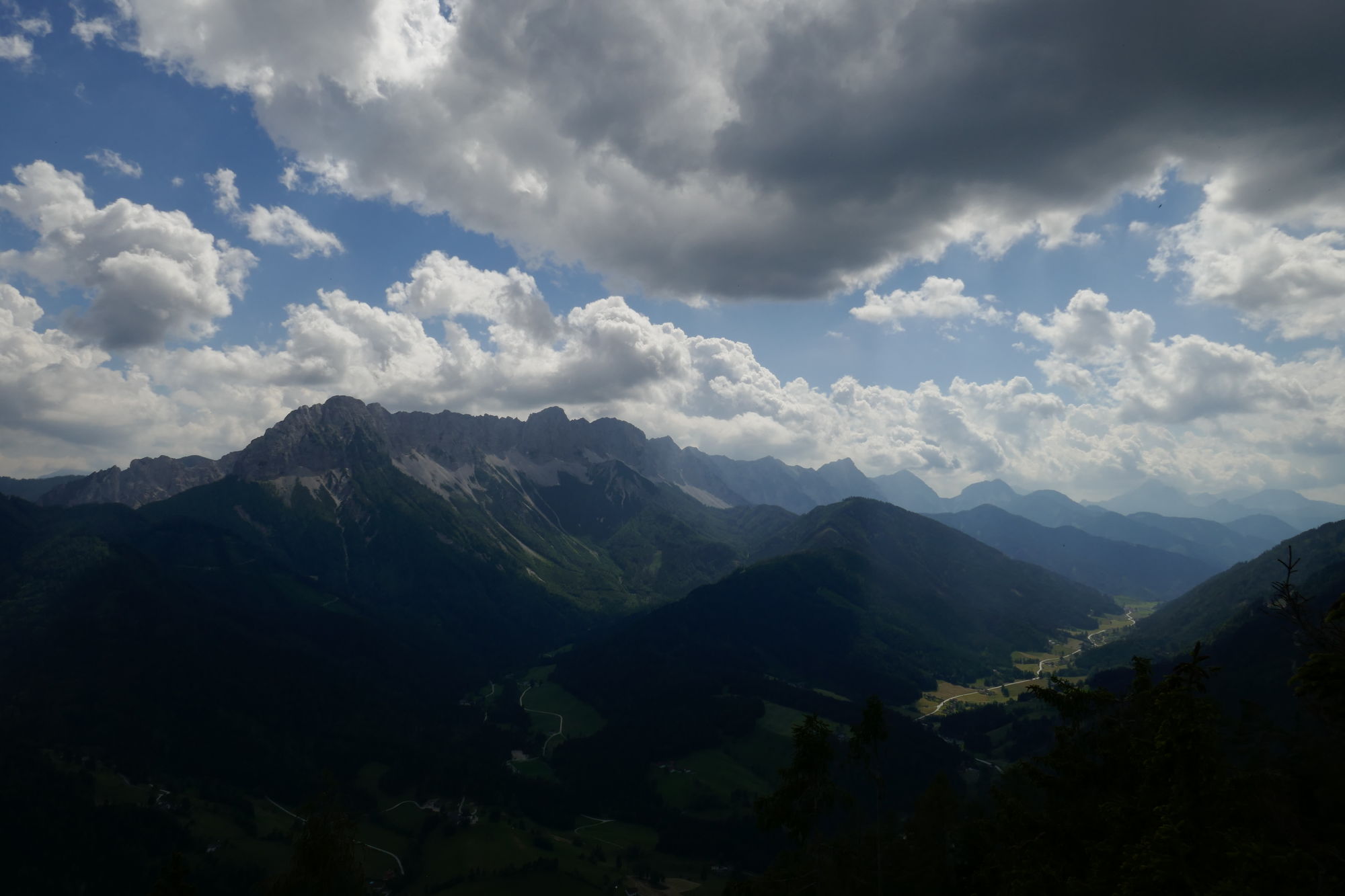
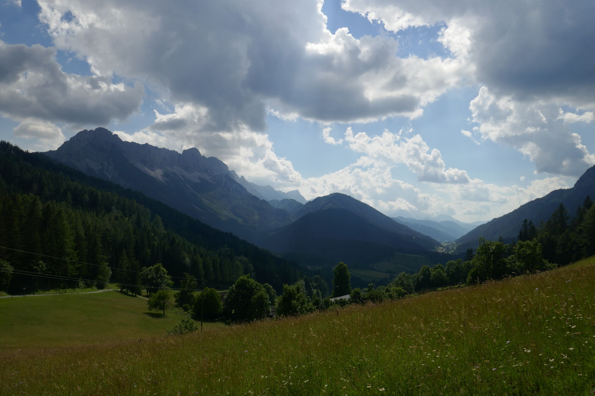
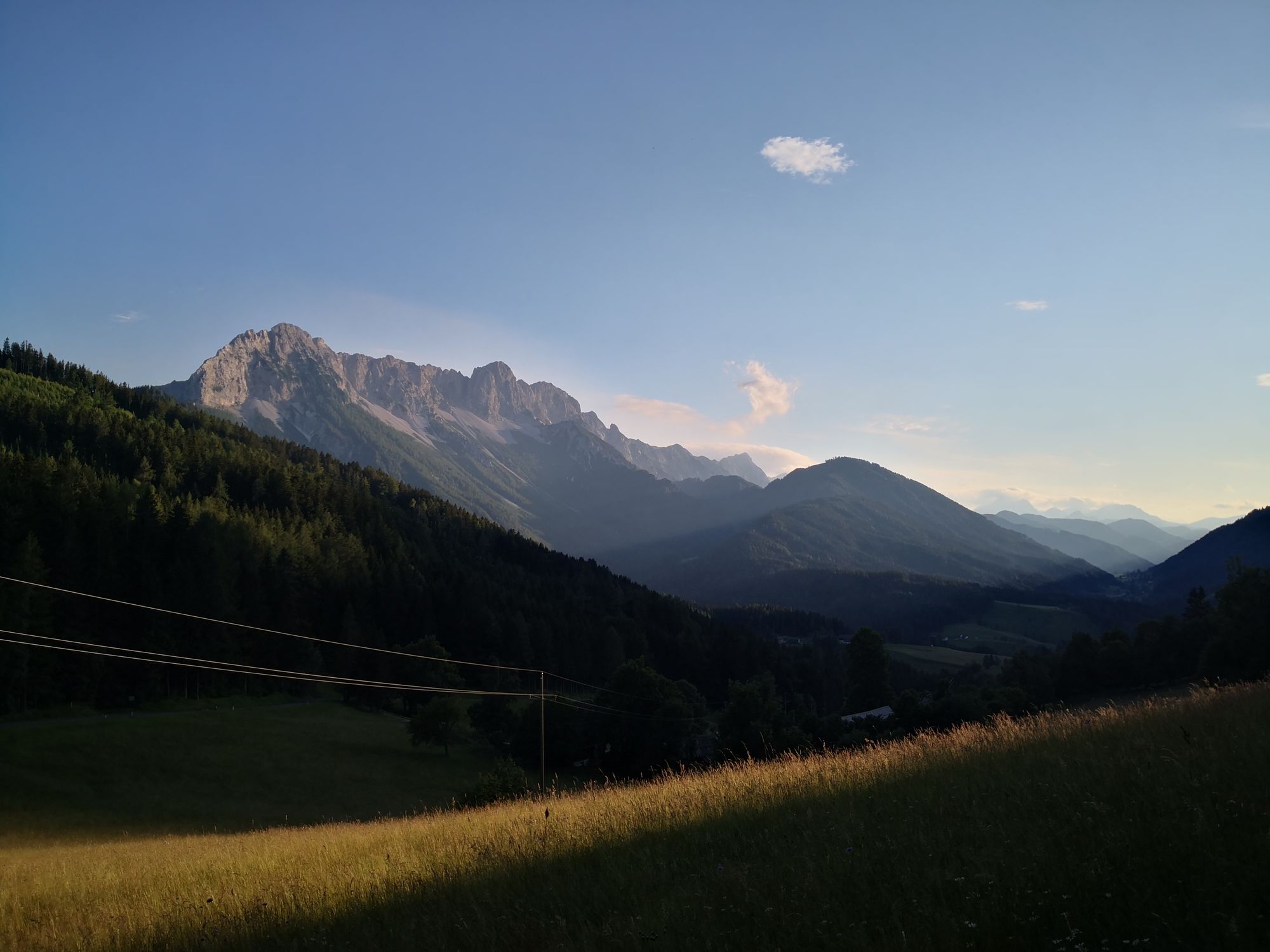
Schöne einsame Tour (bis auf Gipfel vom Hochobir) mit fantastischer Landschaft und Blick in die Steiner Alpen.
- Difficoltà
-
intermedio
- Valutazione
-
- Punto di partenza
-
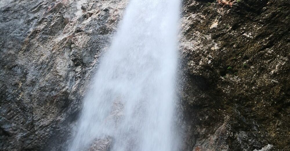
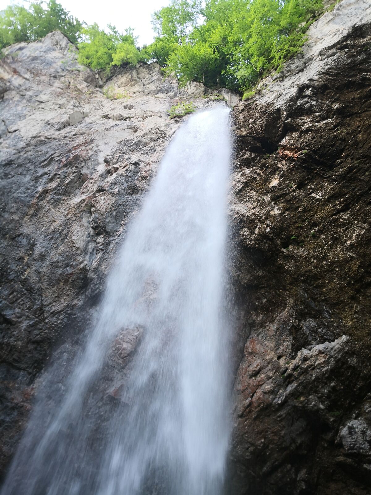
Jausenstation zum Wasserfall
- Percorso
-
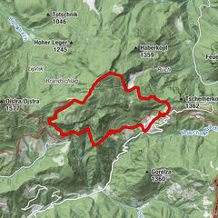
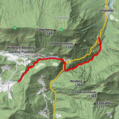
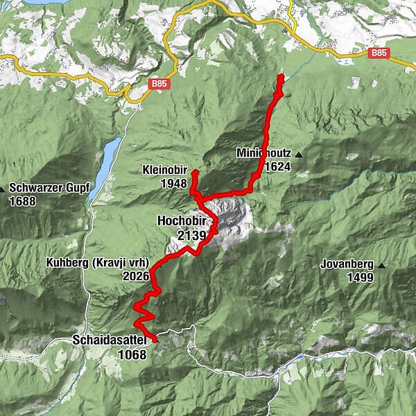
Gasthaus Wildensteiner Wasserfälle0,0 kmWildensteiner Wasserfall0,7 kmHochobir (2.139 m)8,3 kmKuhberg / Kravji vrh (2.026 m)10,6 kmSchaidasattel (1.068 m)14,4 km
- La stagione migliore
-
genfebmaraprmaggiulugagosetottnovdic
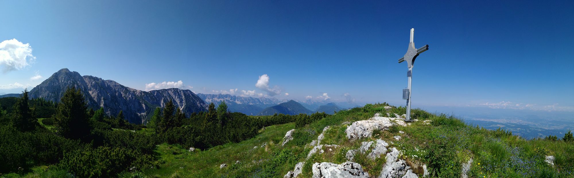
- Punto più alto
- Hochobir (2.139 m)
- Destinazione
-
Schaidasattel
- Riposo/Ritiro
-
auf der angegebenen Route keine
- Informazioni
-
-
- Cartine
-
-

- Fonte
- Petra und Christian
GPS Downloads


Condizioni dei sentieri
Asfalto
Ghiaia
(15%)
Prato
(30%)
Foresta
(40%)
Roccia
(10%)
Esposta
(5%)
Altri tour nelle regioni
-
Klopeiner See - Südkärnten
1163
-
Gallizien
137