© www.turracherhoehe.at/martin steinthaler - Martin Steinthaler
© www.turracherhoehe.at/martin steinthaler - Martin Steinthaler
© www.turracherhoehe.at - gruber michael
Dati percorsi
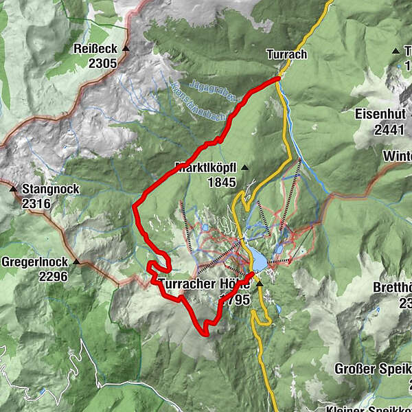
13,02km
1.287
- 2.303m
516hm
1.001hm
05:00h
- Descrizione rapida
-
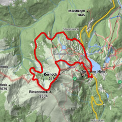
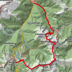
Über Kormulde und Rinsennock zur Winkleralm und dann durch ein wildromantisches Gebirgstal (mittel)
- Difficoltà
-
intermedio
- Valutazione
-
- Punto di partenza
-
Parkplatz Panorambahn Turracher Höhe
- Percorso
-
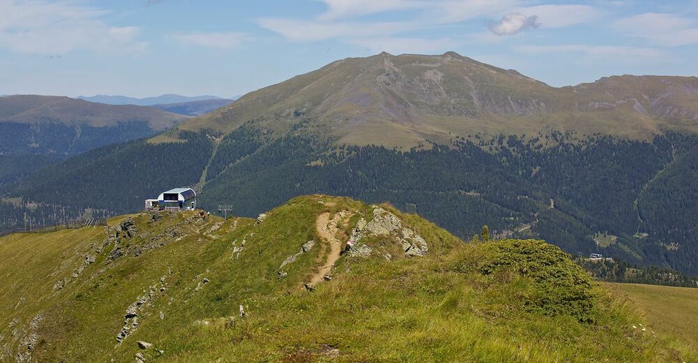
Rinsennock (2.334 m)3,5 kmWildbachhütte11,3 kmTurrach13,0 km
- La stagione migliore
-
genfebmaraprmaggiulugagosetottnovdic
- Punto più alto
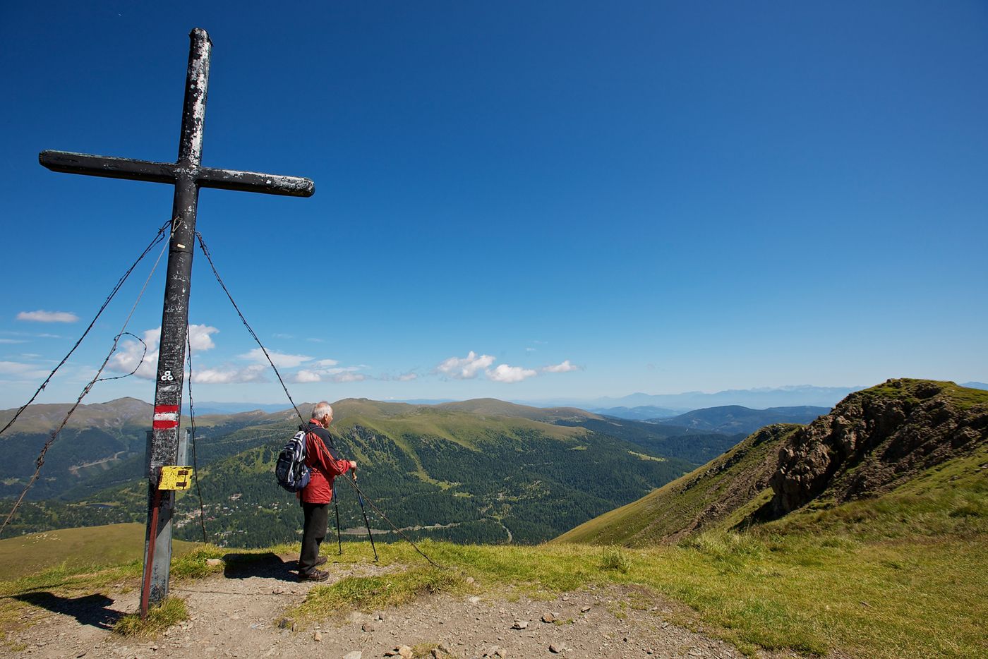
- Rinsennock (2.303 m)
- Destinazione
-
Turrach
- Riposo/Ritiro
-
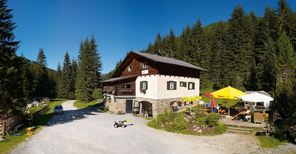
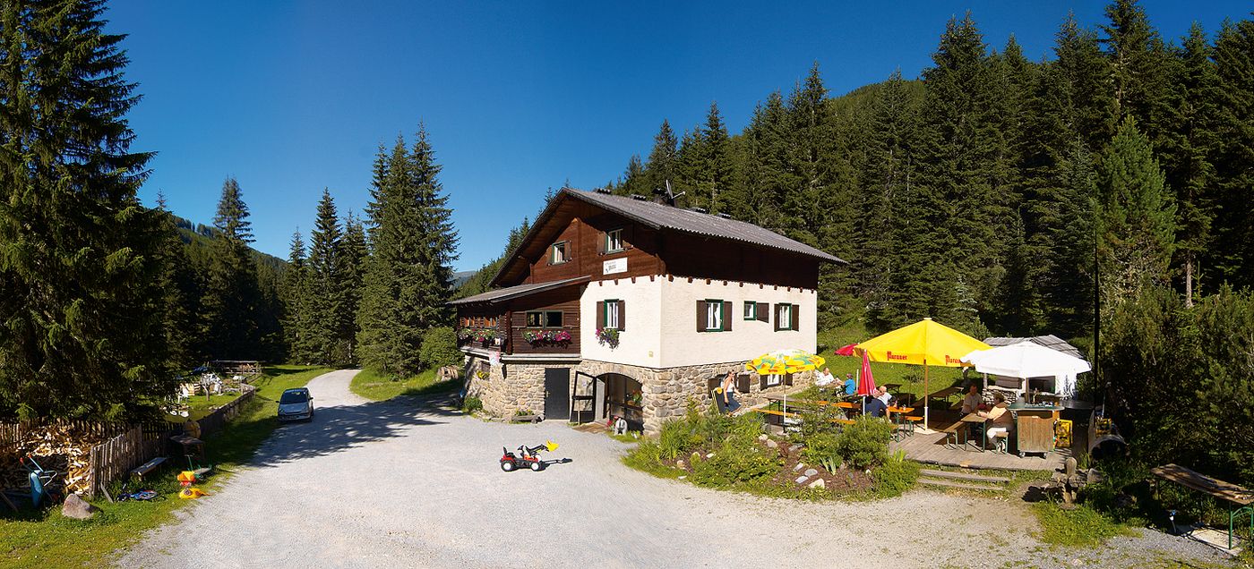
Wildbachhütte, Gasthaus zum Bergmann
- Cartine
-
Turracher Wanderkarte & Kompasskarte Nr. 66 (im TV Büro Turracher Höhe erhältlich)

- Fonte
- TV Turracher Höhe
GPS Downloads


Condizioni dei sentieri
Asfalto
Ghiaia
Prato
Foresta
Roccia
Esposta
Altri tour nelle regioni