Dati percorsi
5,17km
441
- 520m
65hm
01:30h
- Descrizione rapida
-
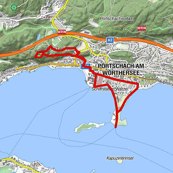
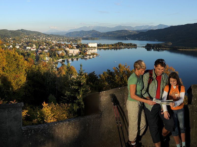
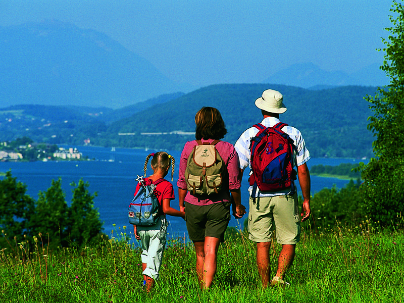
Zur "Hohen Gloriette" - der Aussichtspunkt über den Wörthersee oberhalb von Pörtschach.
- Difficoltà
-
facile
- Valutazione
-
- Punto di partenza
-
Schiffsanlegestelle Pörtschach
- Percorso
-
Pörtschach - Landspitz (Peter Alexander Steg)Hohe Gloriette (537 m)2,1 kmPörtschach4,1 kmPörtschach - Landspitz (Peter Alexander Steg)5,1 km
- La stagione migliore
-
genfebmaraprmaggiulugagosetottnovdic
- Punto più alto
- 520 m
- Cartine
-
Wörthersee - die schönsten Wanderungen, Radtouren und Ausflugsziele. Erhältlich in den Infobüros rund um den Wörthersee und im Keutschacher Seental.
GPS Downloads


Altri tour nelle regioni