


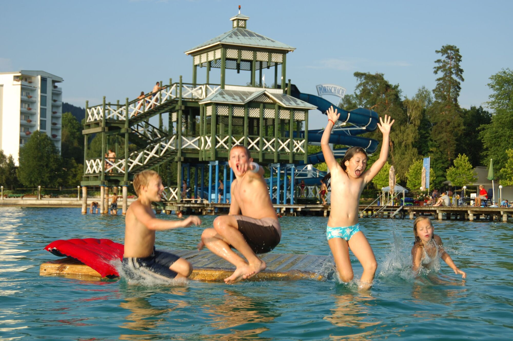
© Region Wörthersee-Rosental Tourismus GmbH - Andreas Irnstorfer

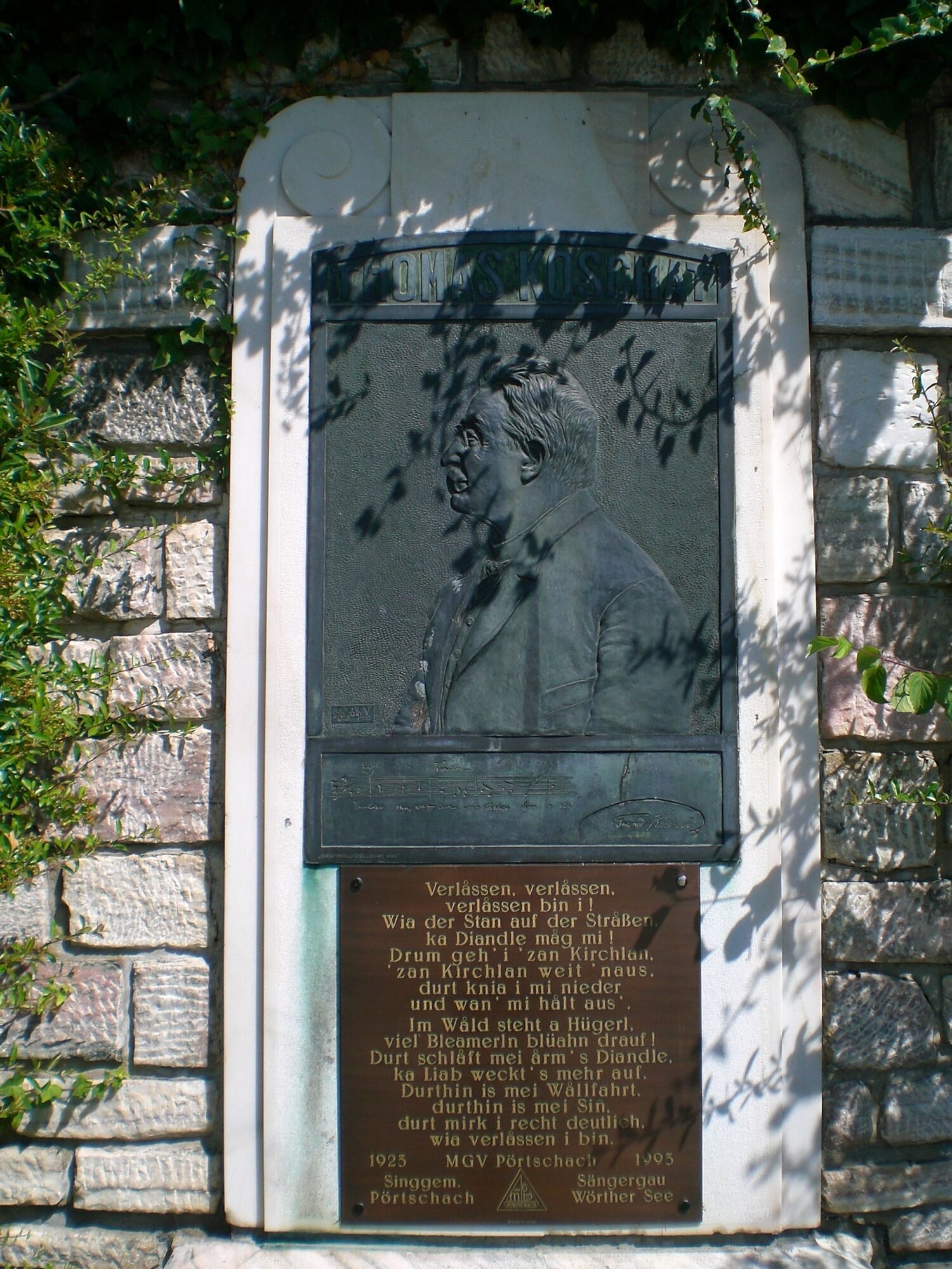
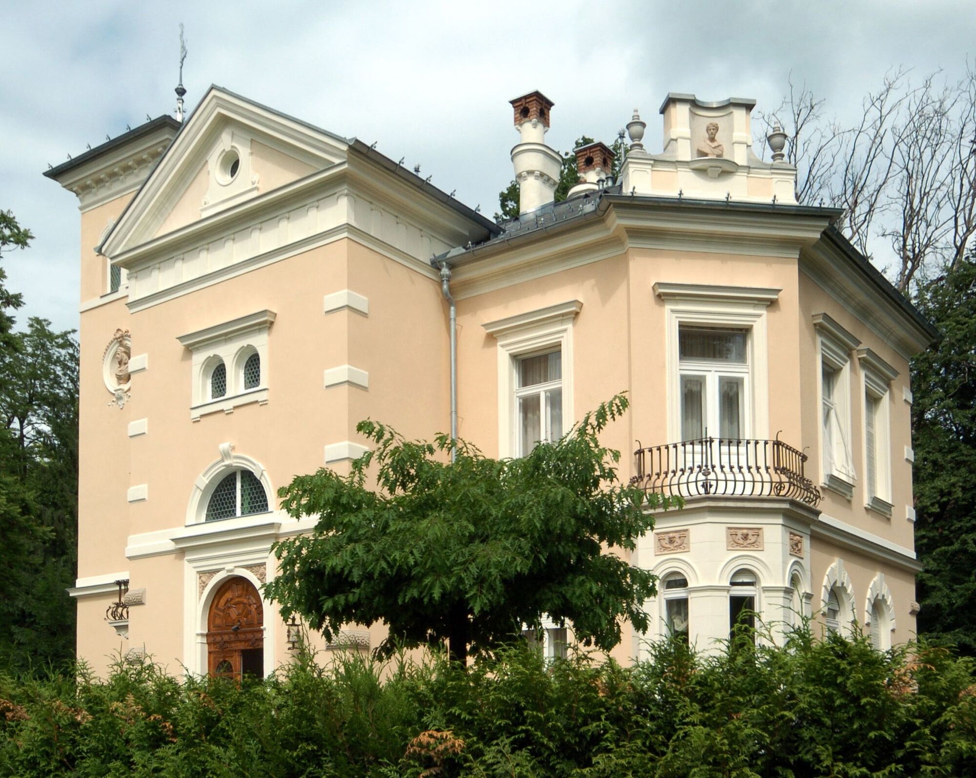
© Johann Jaritz

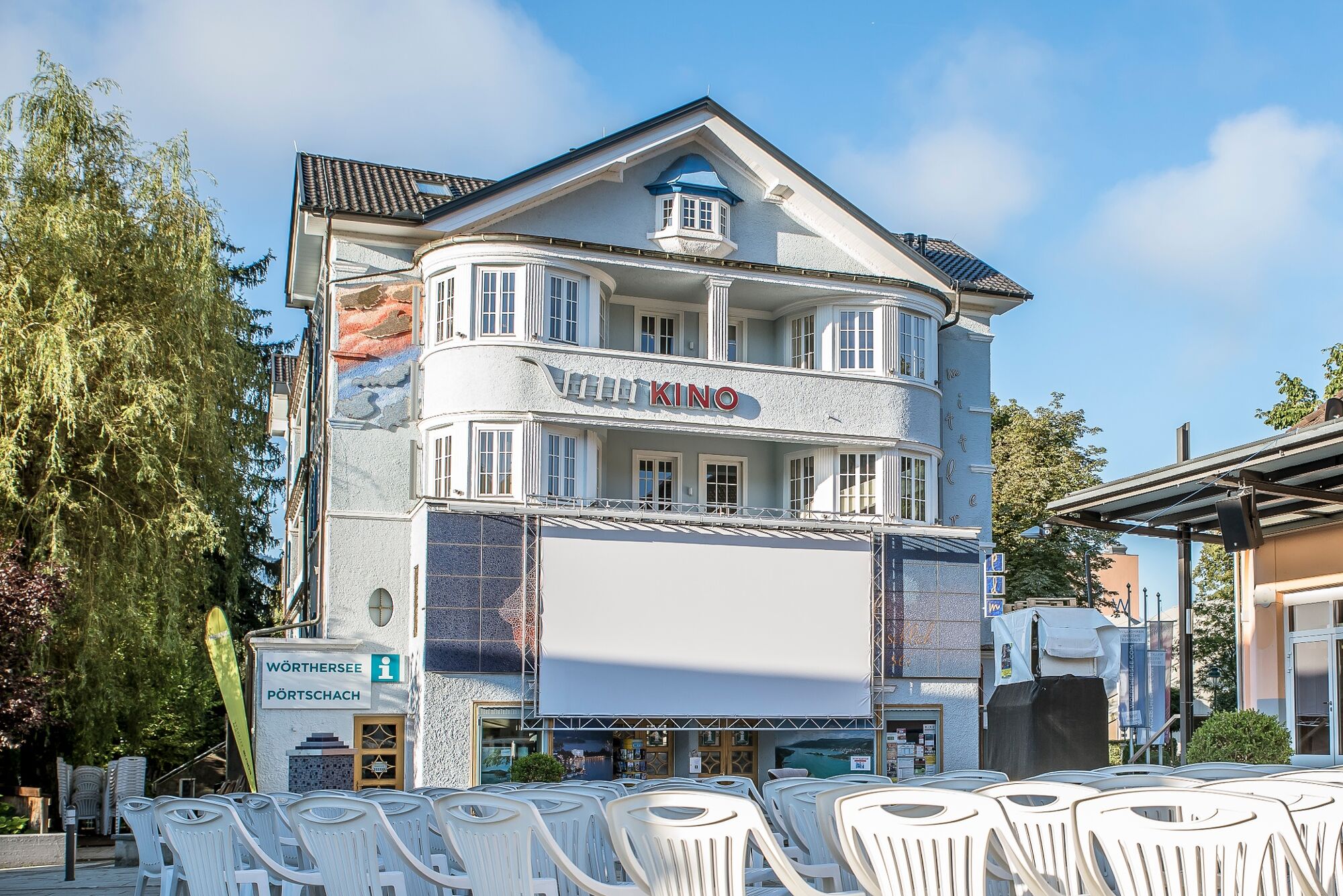
© Region Wörthersee-Rosental Tourismus GmbH - Andreas Irnstorfer

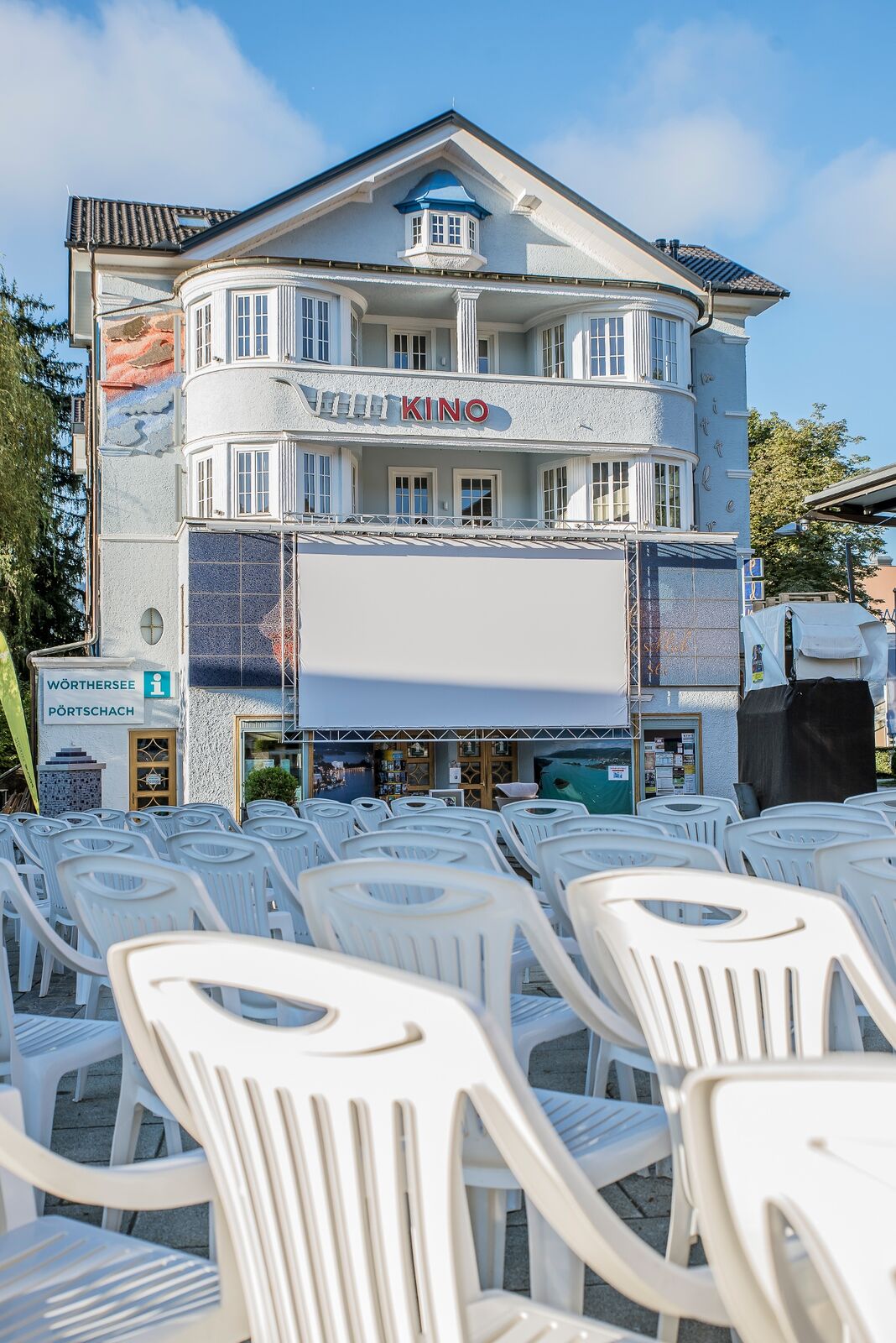
© Region Wörthersee-Rosental Tourismus GmbH - Andreas Irnstorfer

© Region Wörthersee-Rosental Tourismus GmbH - Andreas Irnstorfer

© Region Wörthersee-Rosental Tourismus GmbH - Andreas Irnstorfer

© Region Wörthersee-Rosental Tourismus GmbH - Andreas Irnstorfer

© Region Wörthersee-Rosental Tourismus GmbH - Andreas Irnstorfer

- Difficoltà
-
facile
- Valutazione
-
- Percorso
-
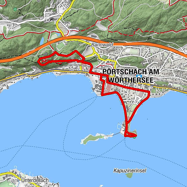
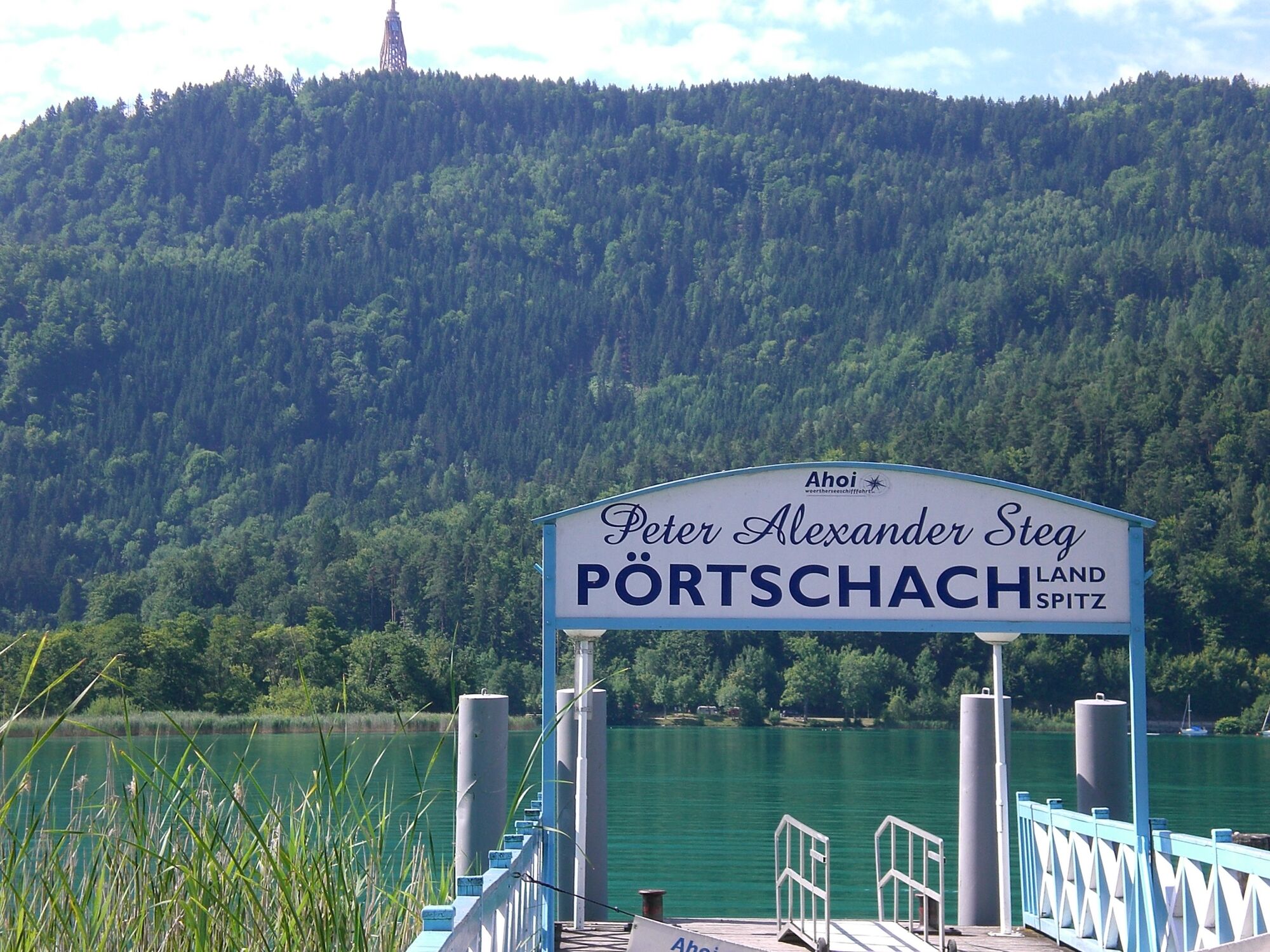
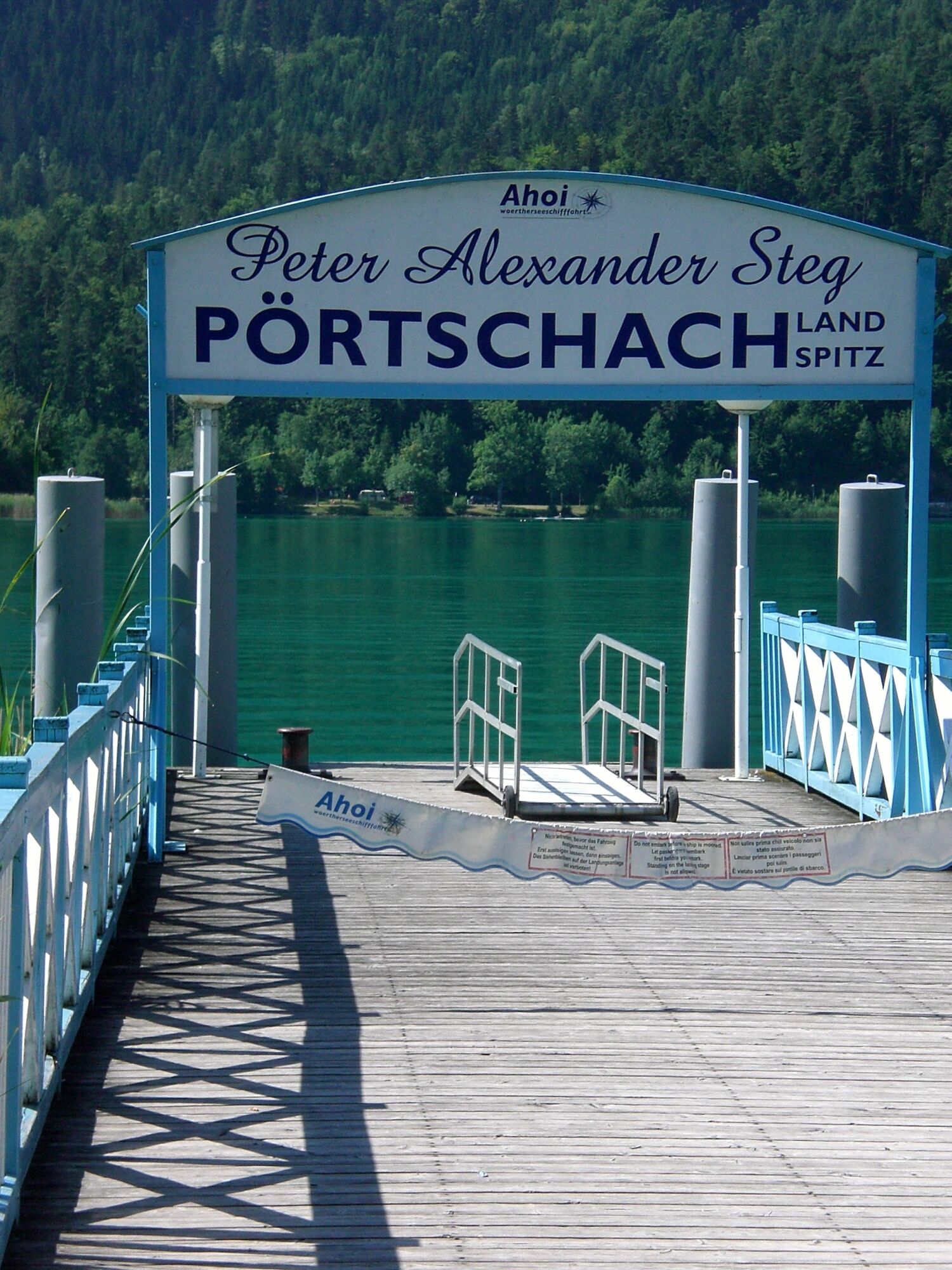
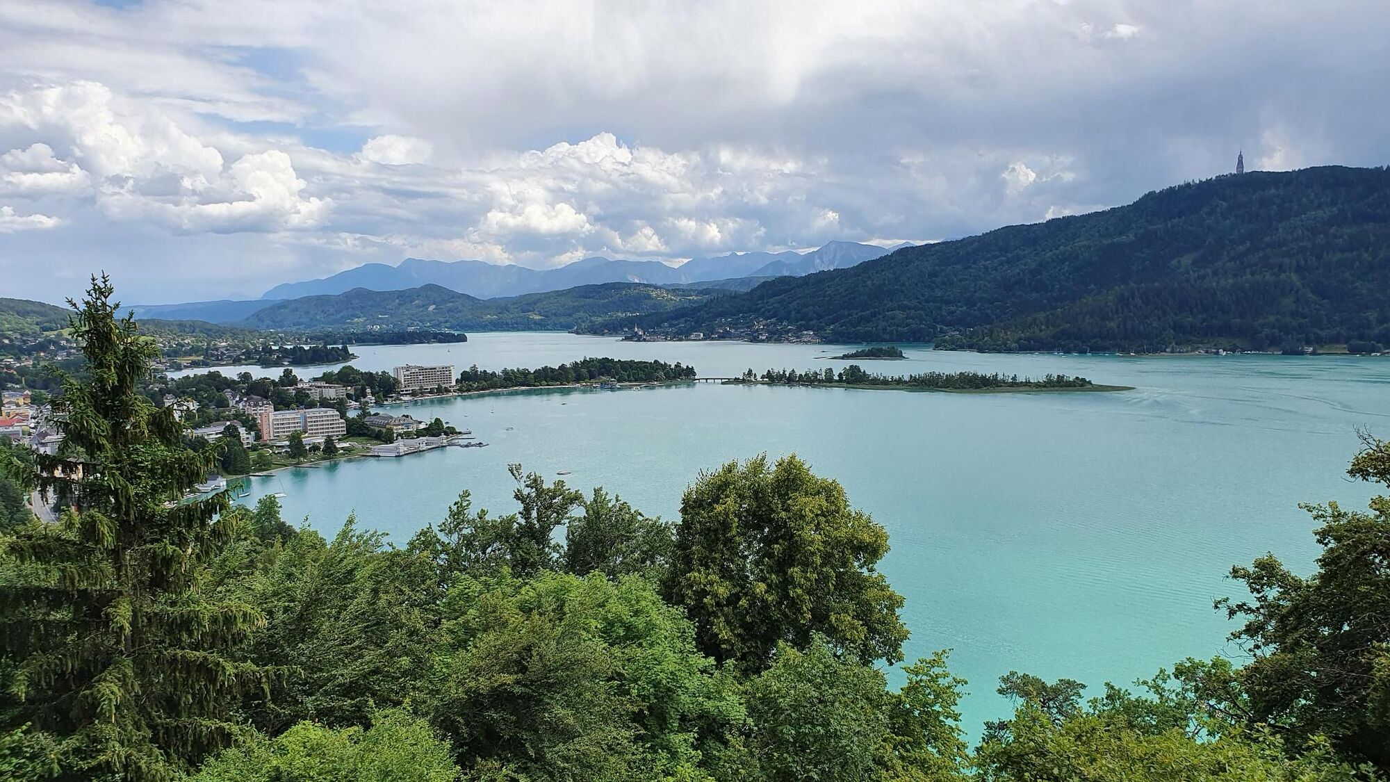
Pörtschach - Landspitz (Peter Alexander Steg)3,5 kmPörtschach4,9 km
- La stagione migliore
-
genfebmaraprmaggiulugagosetottnovdic
- Punto più alto
- 523 m
- Destinazione
-
Tourismusinformation Pörtschach
- Profilo altimetrico
-


- Autore
-
Il tour Hohe Gloriette è utilizzato da outdooractive.com fornito.
GPS Downloads


Info generali
Punto di ristoro
Promettente
Altri tour nelle regioni


