

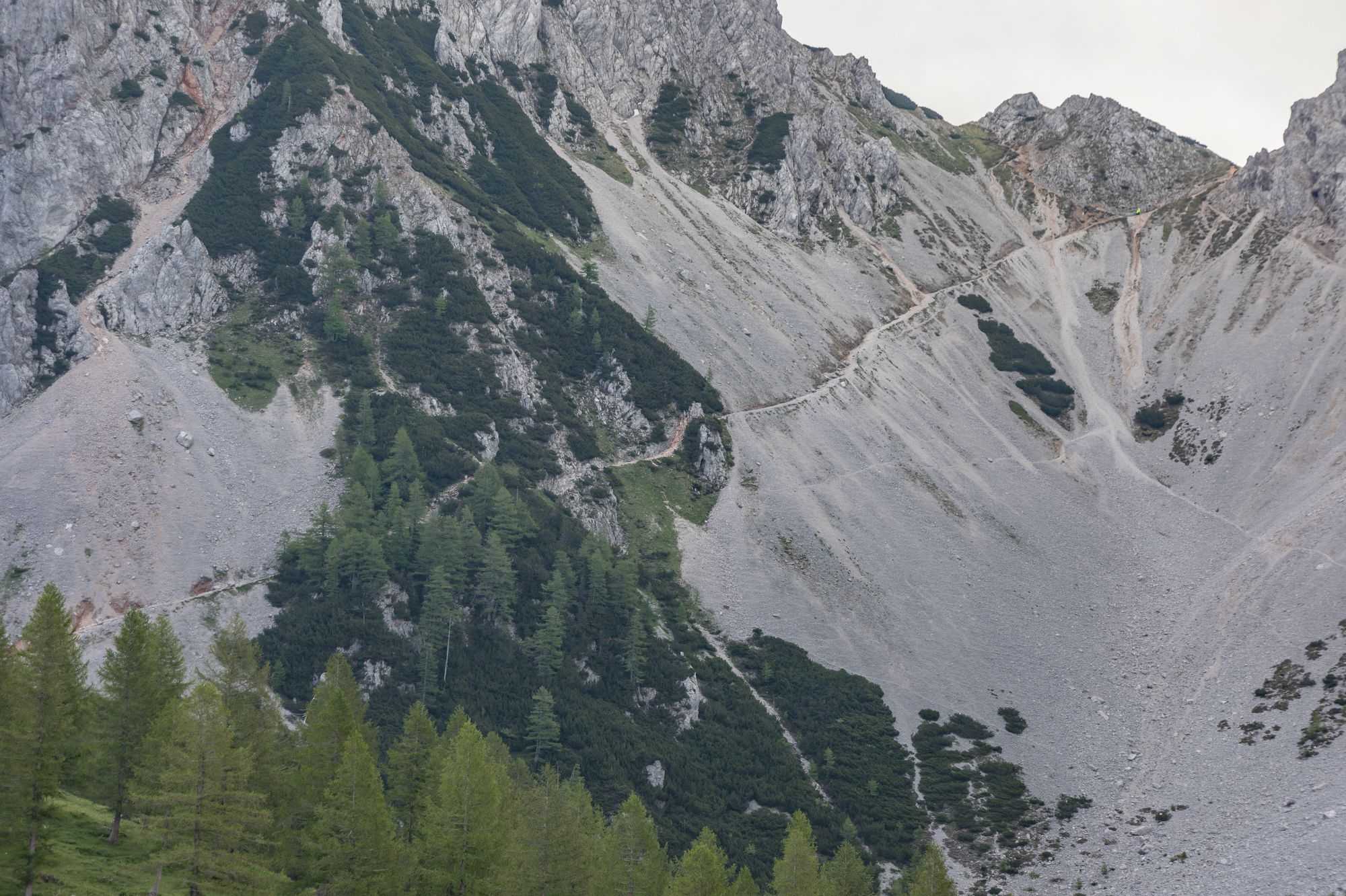
© Michael Kleinsasser

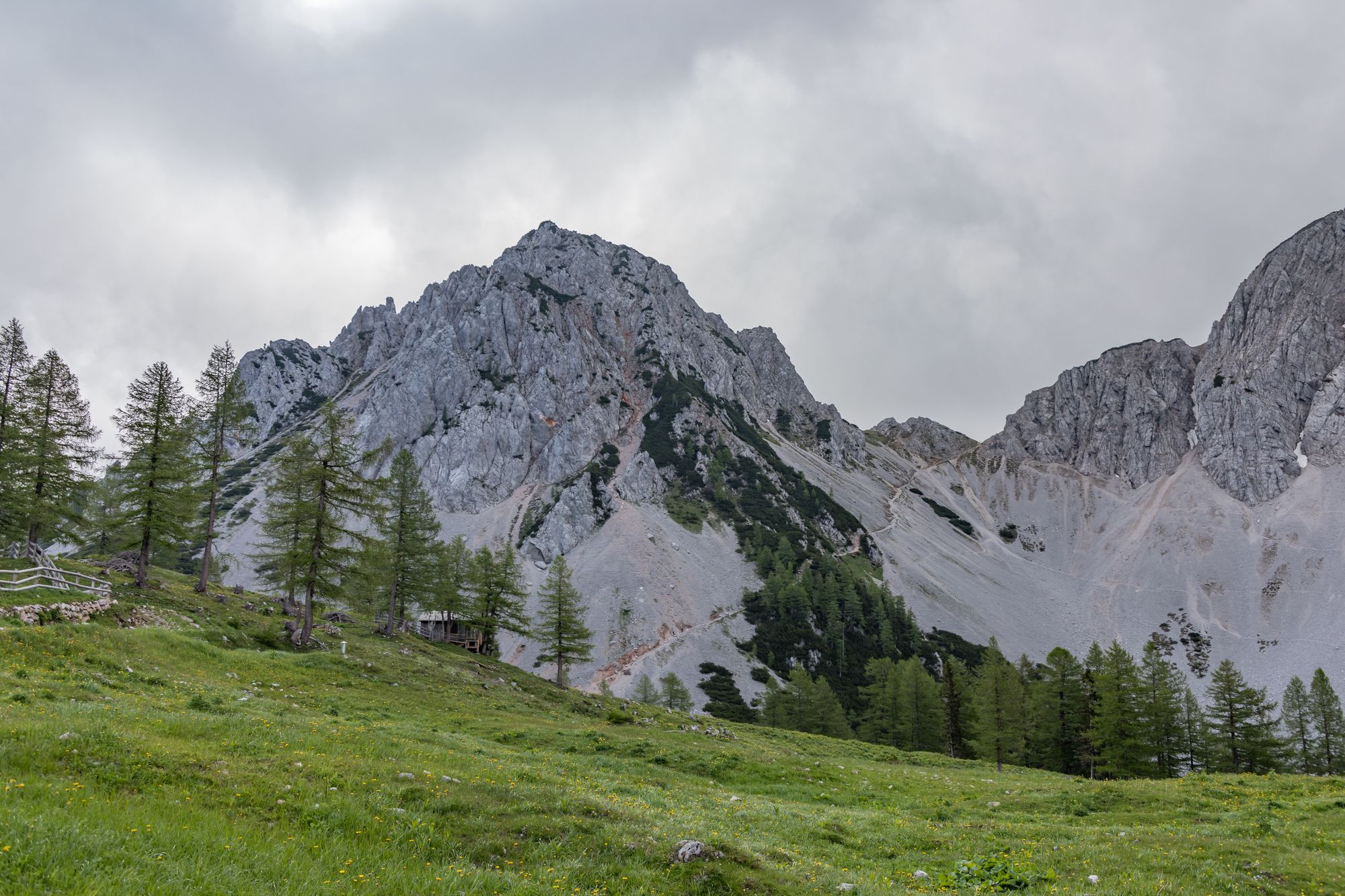
© Michael Kleinsasser

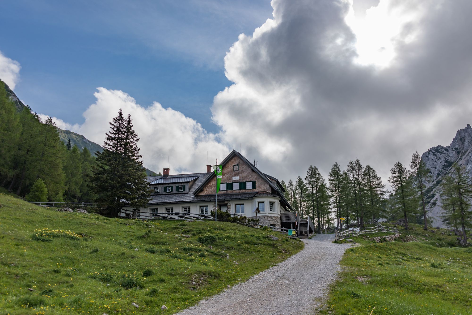
© Michael Kleinsasser

© Michael Kleinsasser
Dati percorsi
8,88km
1.140
- 1.959m
752hm
697hm
04:27h
- Descrizione rapida
-
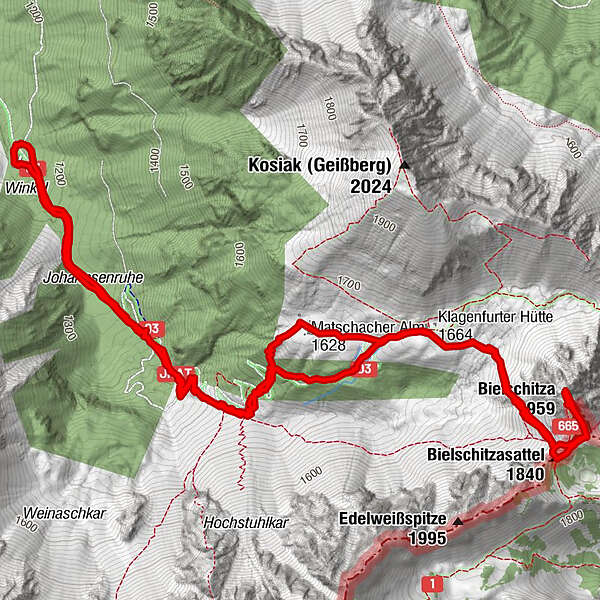
Standard Wanderweg vom Parkplatz Johannseruh (1140m) auf die Bielschitza, Grenzberg SLO-AUT.
- Difficoltà
-
intermedio
- Valutazione
-
- Punto di partenza
-
PP Johannsenruh
- Percorso
-
Johannsenruhe0,7 kmMatschacher Alm / Mačenska planina2,6 kmBielschitzasattel (1.840 m)4,0 kmBielschitza (1.958 m)4,4 kmKlagenfurter Hütte (1.664 m)5,8 kmJohannsenruhe8,1 km
- La stagione migliore
-
genfebmaraprmaggiulugagosetottnovdic
- Punto più alto
- Bielschitza (1.959 m)
- Destinazione
-
Bielschitza
- Riposo/Ritiro
-
Klagenfurterhütte, 1660m auf halber Strecke bei der Abzweigung Bielschitza und Kosiak

- Fonte
- Mike
GPS Downloads


Altri tour nelle regioni
-
Wörthersee - Rosental
1956
-
Bodental
278


