
© Tourismusregion Mittelkärnten - Gerda Offner-Kaller
© Tourismusregion Mittelkärnten - Gerda Offner-Kaller

© Mittelkärnten - Weinapartment, Michael Höfler

© Mittelkärnten - Weinapartment, Michael Höfler

© Mittelkärnten - St Urban Schilift GmbH

© Mittelkärnten - Cerne

© Tourismusregion Mittelkärnten - Elias Jerusalem

© Mittelkärnten - Ferienhaus Deluxe - Krafft

- Descrizione rapida
-
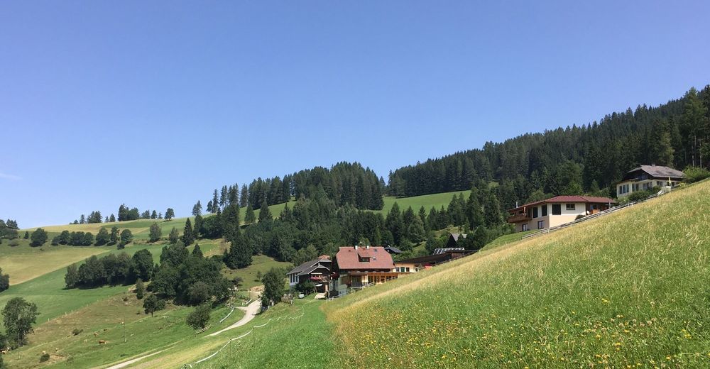
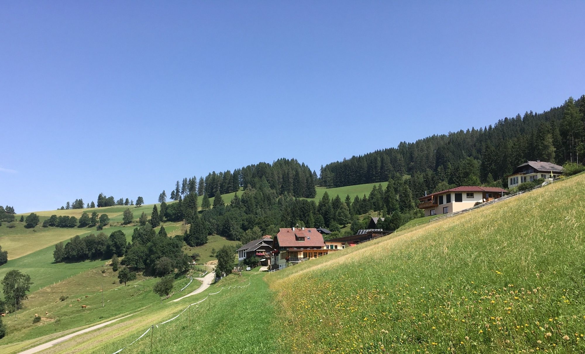
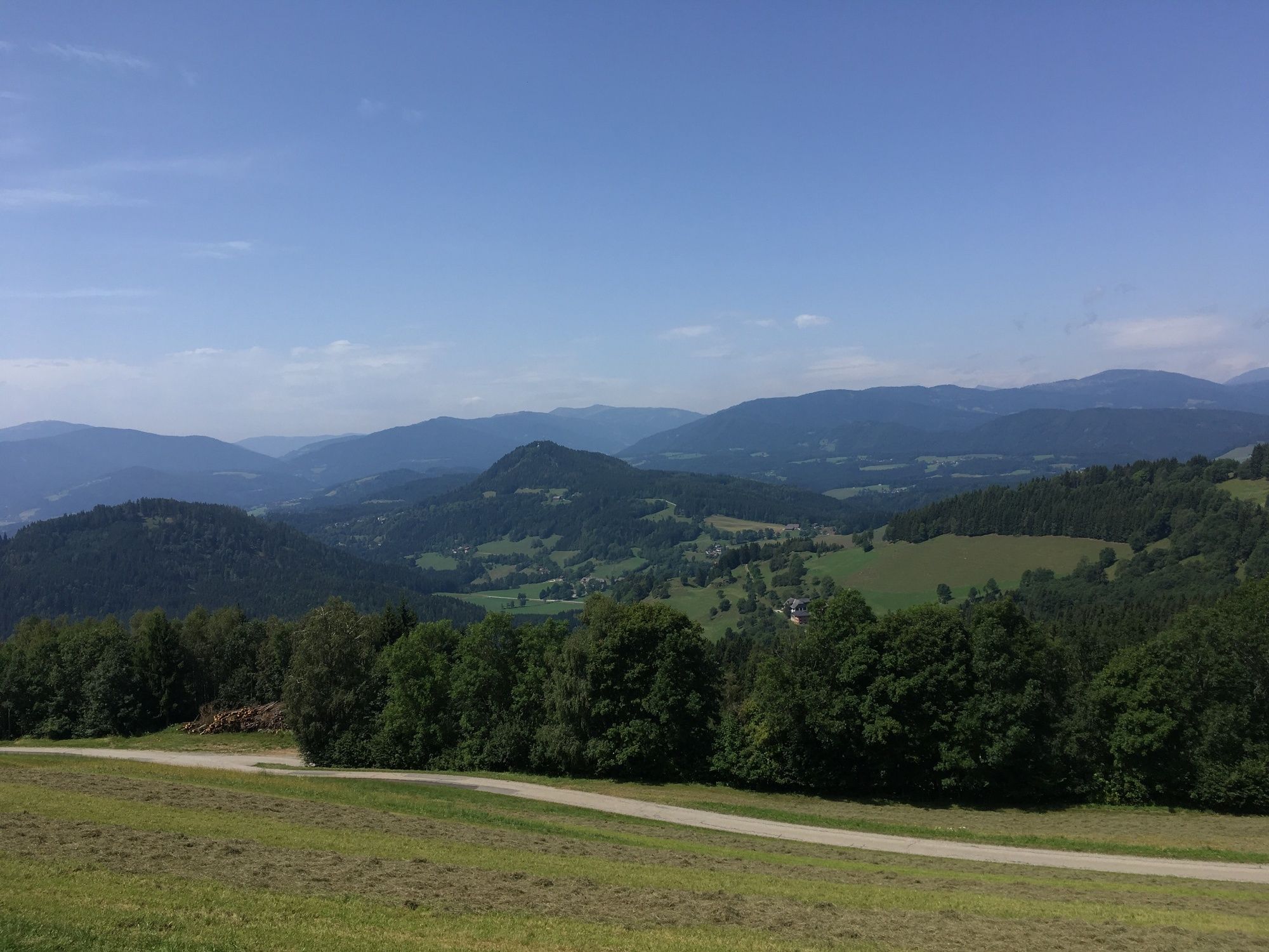
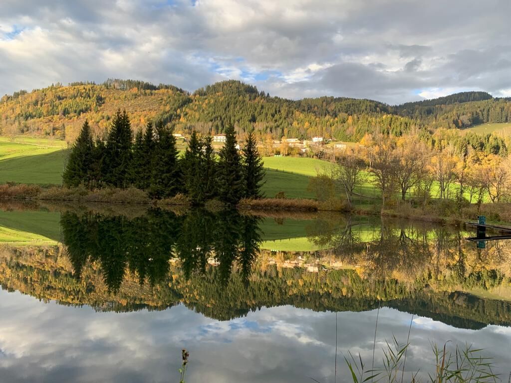
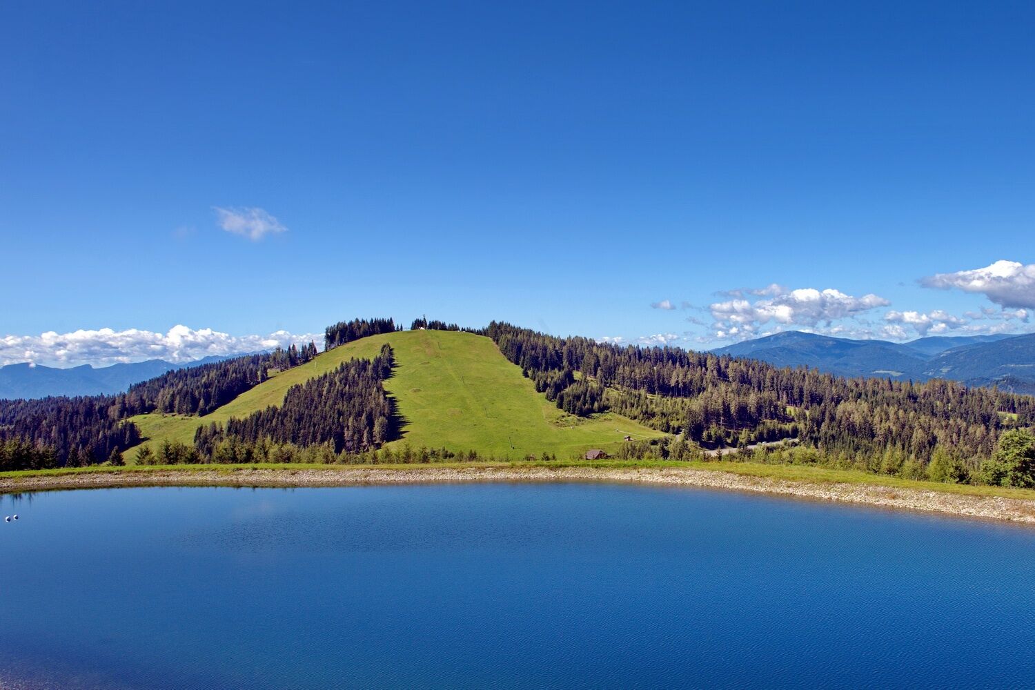
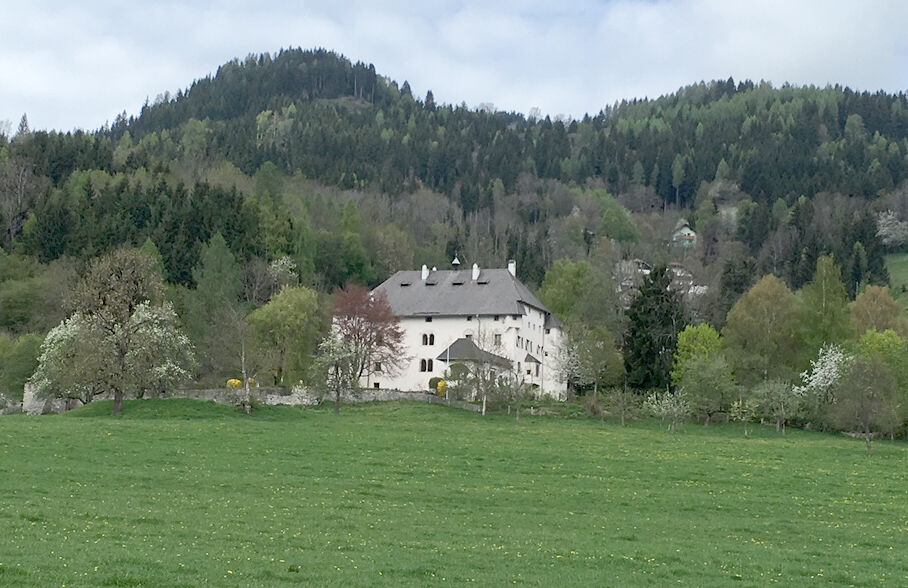
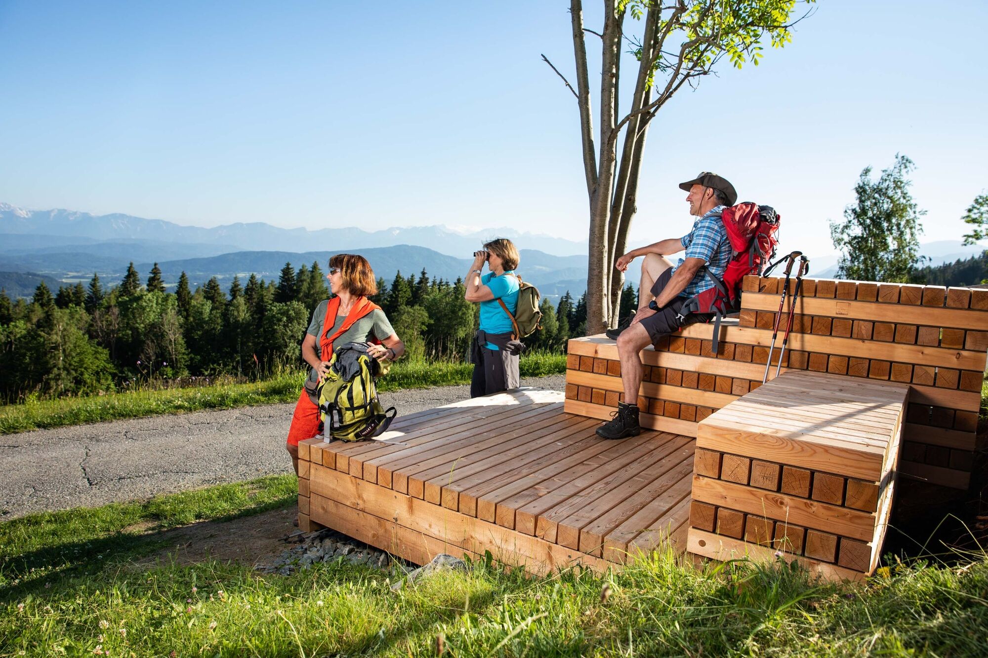
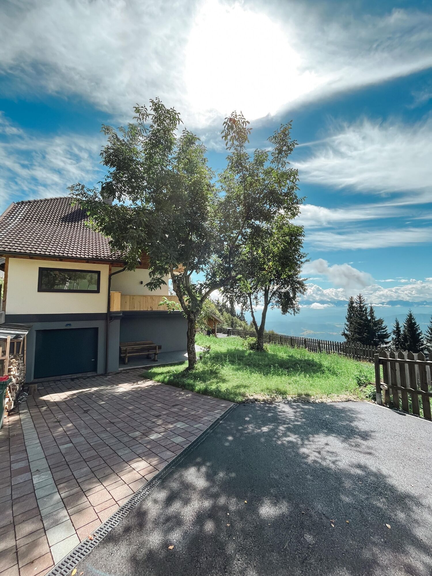
Rundweg ausgehend vom Dorfplatz in St. Urban, vorbei am Schloss Bach, über den Franzsteig zur Ansiedlung Buggl in Bach. Der Retourweg führt über Gall zurück nach Ort St. Urban.
- Difficoltà
-
intermedio
- Valutazione
-
- Percorso
-
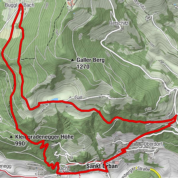
Sankt Urban0,2 kmBach-Sankt Urban0,3 kmBach0,7 kmBuggl in Bach4,2 kmGall6,7 kmPfarre St. Urban9,8 kmSankt Urban9,9 km
- La stagione migliore
-
genfebmaraprmaggiulugagosetottnovdic
- Punto più alto
- 1.132 m
- Destinazione
-
Dorfplatz St. Urban
- Profilo altimetrico
-


- Autore
-
Il tour Mühlenweg St. Urban è utilizzato da outdooractive.com fornito.
GPS Downloads


Info generali
Punto di ristoro
Promettente
Altri tour nelle regioni


