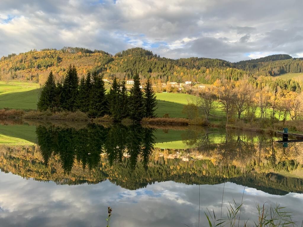
© Mittelkärnten - Kärnten Pictures

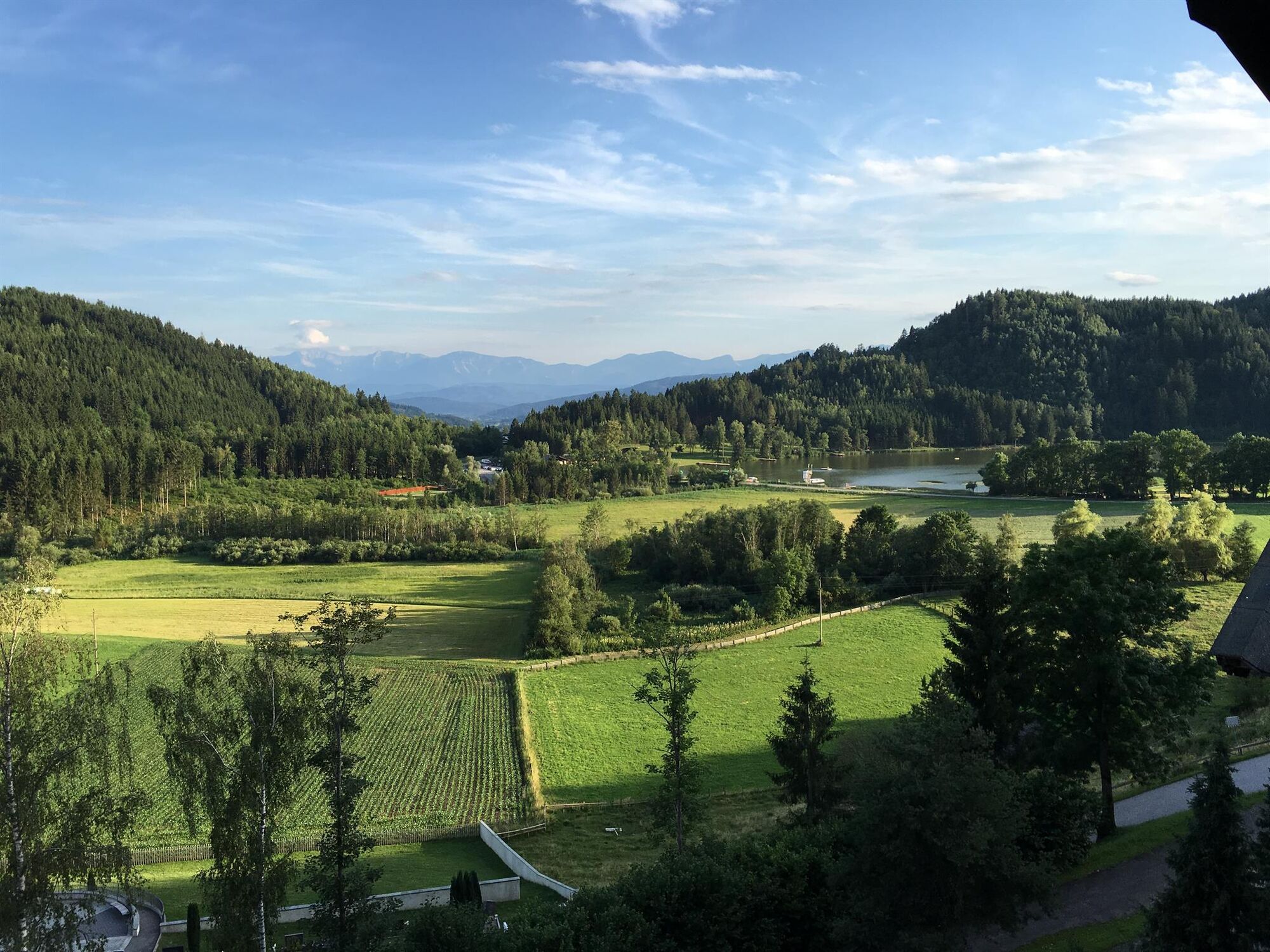
© Mittelkärnten - Kärnten Pictures

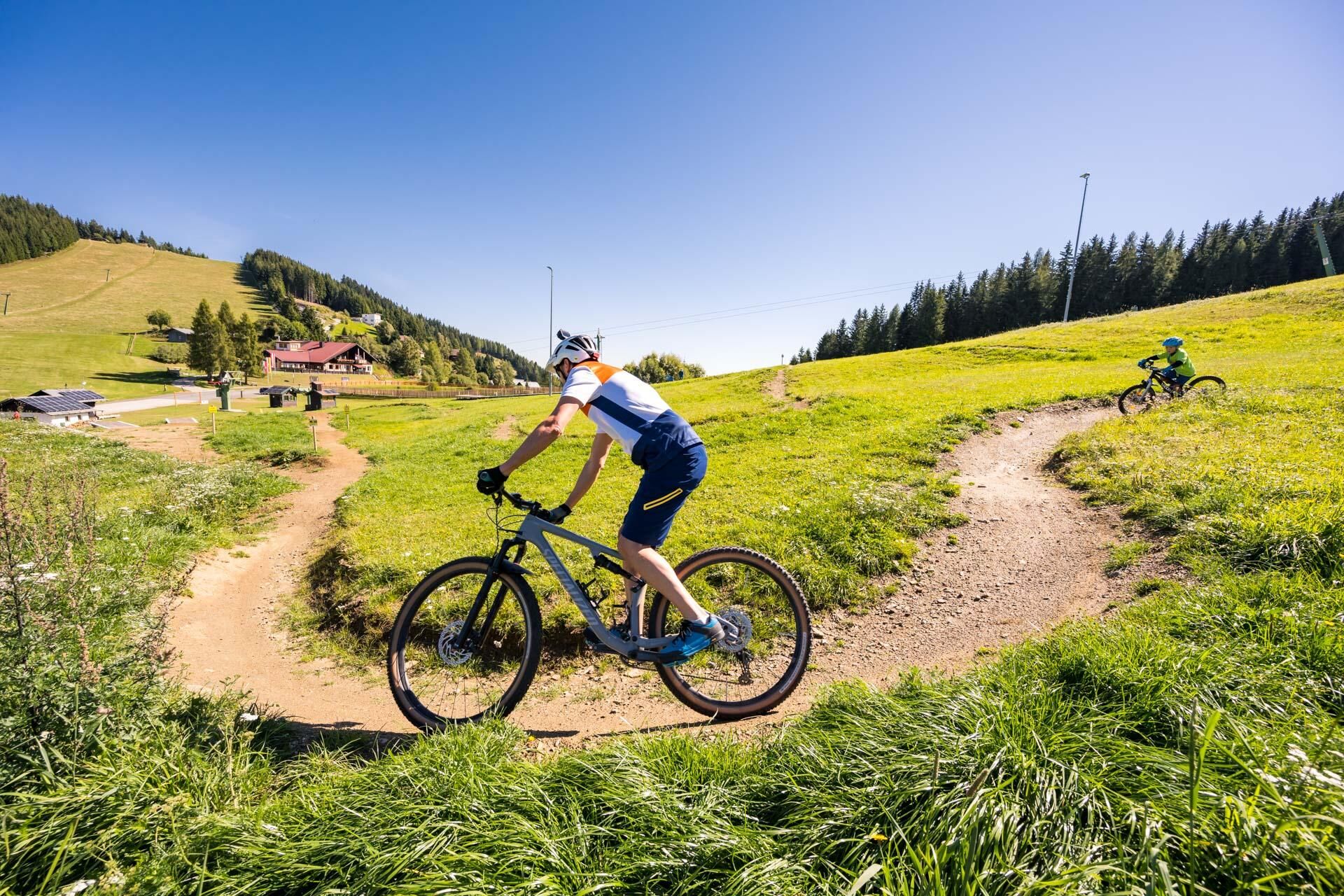
© Mittelkärnten - Kärnten Pictures

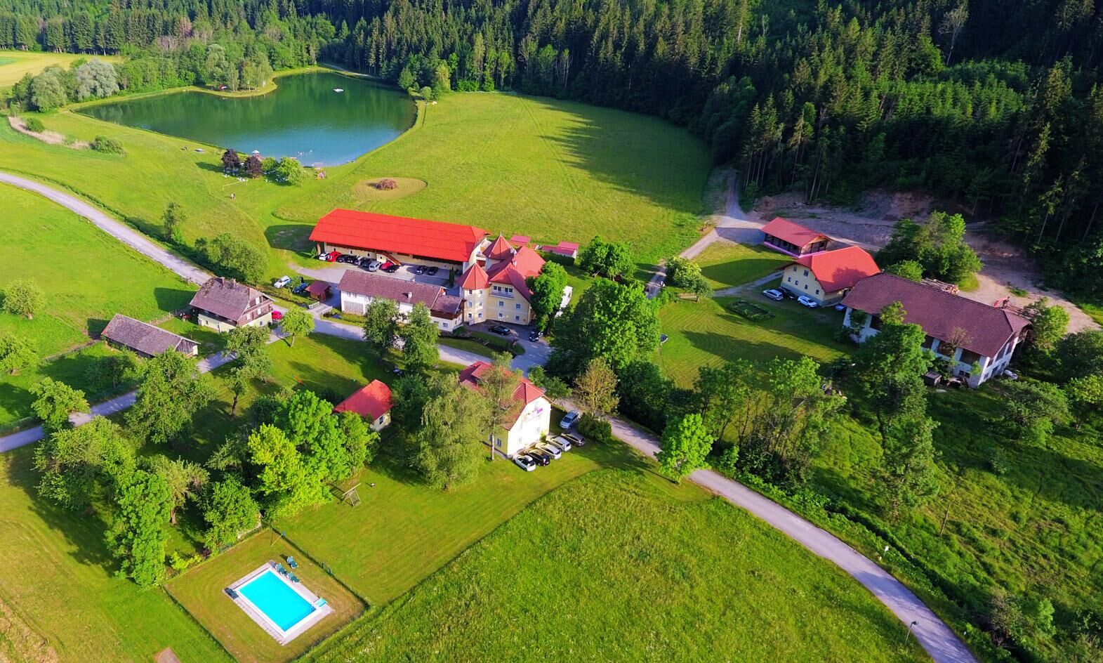
© Mittelkärnten - Tinefoto

© Mittelkärnten - Familie Niederstrasser

© Mittelkärnten - Weinapartment, Michael Höfler

© Mittelkärnten - Gesche Mahn

© Mittelkärnten - Michael Stabentheiner_Region Mittelkärnten

© Mittelkärnten - Urlaub am Talhof

- Descrizione rapida
-
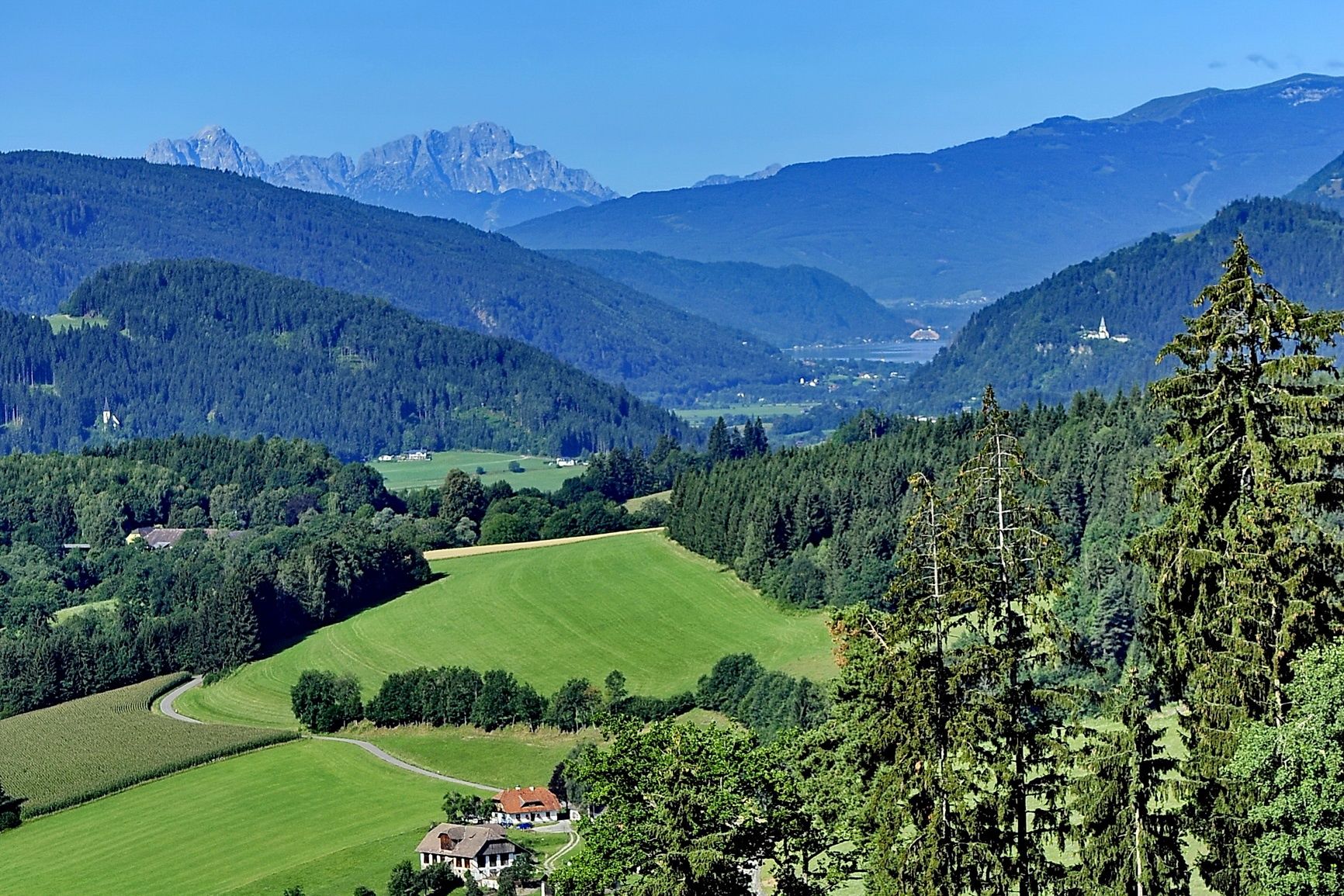
Dieser Weg ist auch mit geringerer Kondition zu meistern. Entlang des Weges gnießen Sie die wunderbare Aussicht über ganz Mittelkärnten, bis nach Agsdorf.
- Difficoltà
-
facile
- Valutazione
-
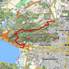
- Percorso
-
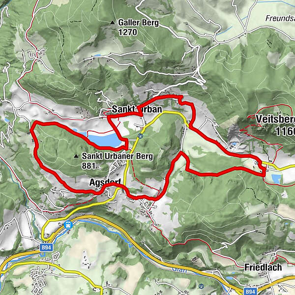
Sankt Urban0,2 kmBach-Sankt Urban0,4 kmBach0,6 kmRistorante Mangiare Italiano1,4 kmKleingradenegg2,9 kmAgsdorf5,3 kmTumpf7,4 kmZwattendorf9,2 kmStattenberg10,8 kmOberdorf11,8 kmPfarre St. Urban12,5 kmSankt Urban12,6 km
- La stagione migliore
-
genfebmaraprmaggiulugagosetottnovdic
- Punto più alto
- 817 m
- Destinazione
-
Dorfplatz St. Urban
- Profilo altimetrico
-


- Autore
-
Il tour Panoramaweg St. Urban è utilizzato da outdooractive.com fornito.
GPS Downloads


Info generali
Punto di ristoro
Promettente
Altri tour nelle regioni