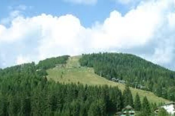
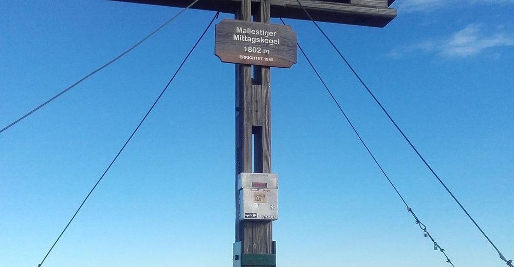
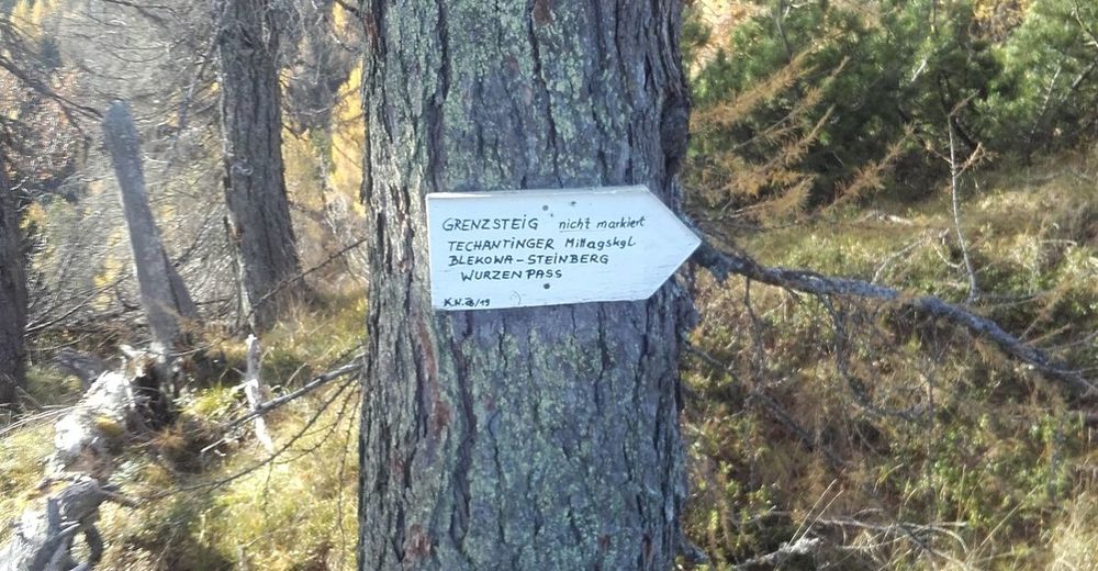
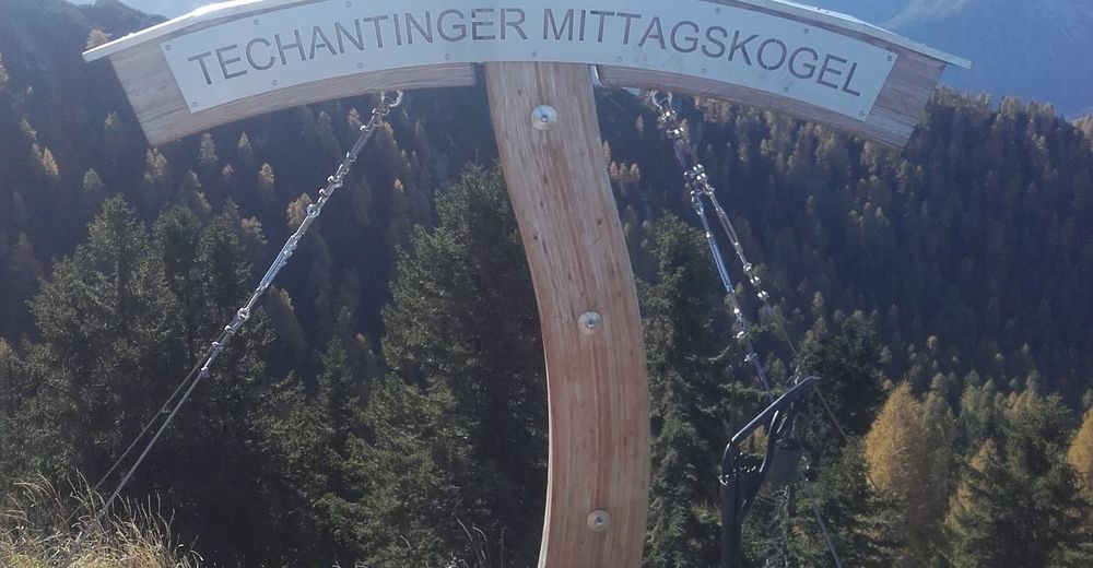
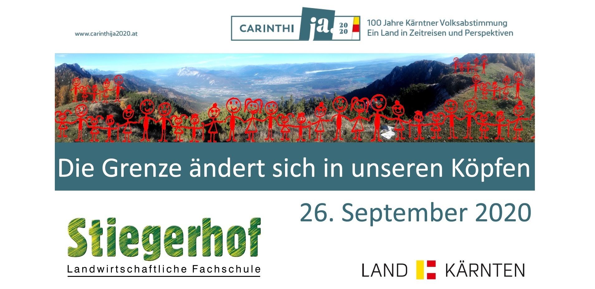
Carinthija 26.09.2020 Menschenkette Mallestiger- Techantinger Mittagskogel

Escursionismo
© Martin Ladinig
© Martin Ladinig

© Martin Ladinig
© Martin Ladinig
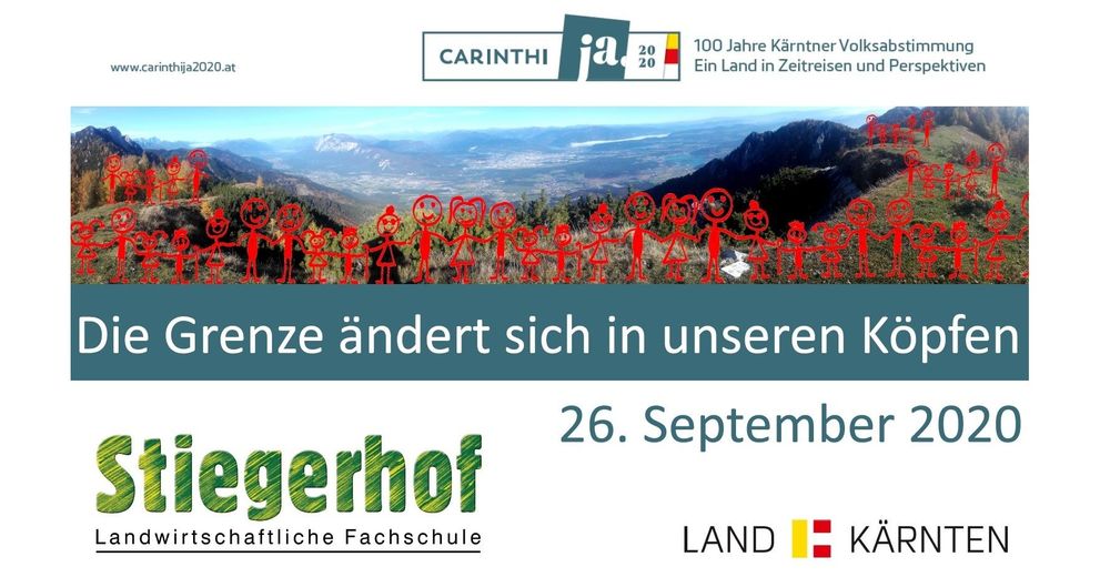
© Stiegerhof
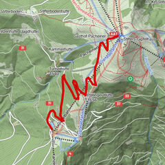
Dati percorsi
2,38km
1.763
- 1.887m
185hm
71hm
00:55h

- Descrizione rapida
-
Mallestiger Techantinger
- Difficoltà
-
facile
- Valutazione
-
- Percorso
-
Ostri vrh (1.864 m)1,2 km
- Punto più alto
- 1.887 m


GPS Downloads


Altri tour nelle regioni