

© Region Villach - Faaker See - Ossiacher See - Michael Winter

© Region Villach - Faaker See - Ossiacher See - Region Villach

© Region Villach - Faaker See - Ossiacher See - Region Villach

© Region Villach - Faaker See - Ossiacher See - Michael Winter

© Region Villach - Faaker See - Ossiacher See - Michael Winter

© Region Villach - Faaker See - Ossiacher See - Region Villach

© Region Villach - Faaker See - Ossiacher See - Region Villach

- Descrizione rapida
-
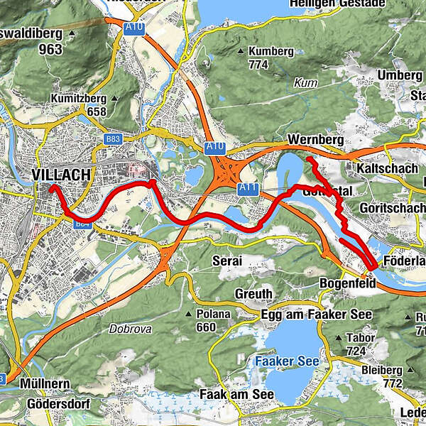
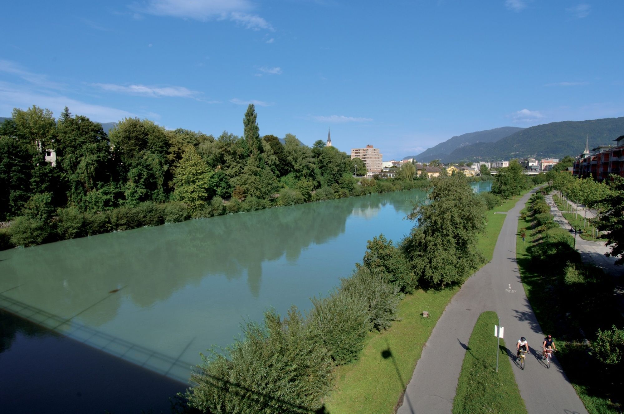
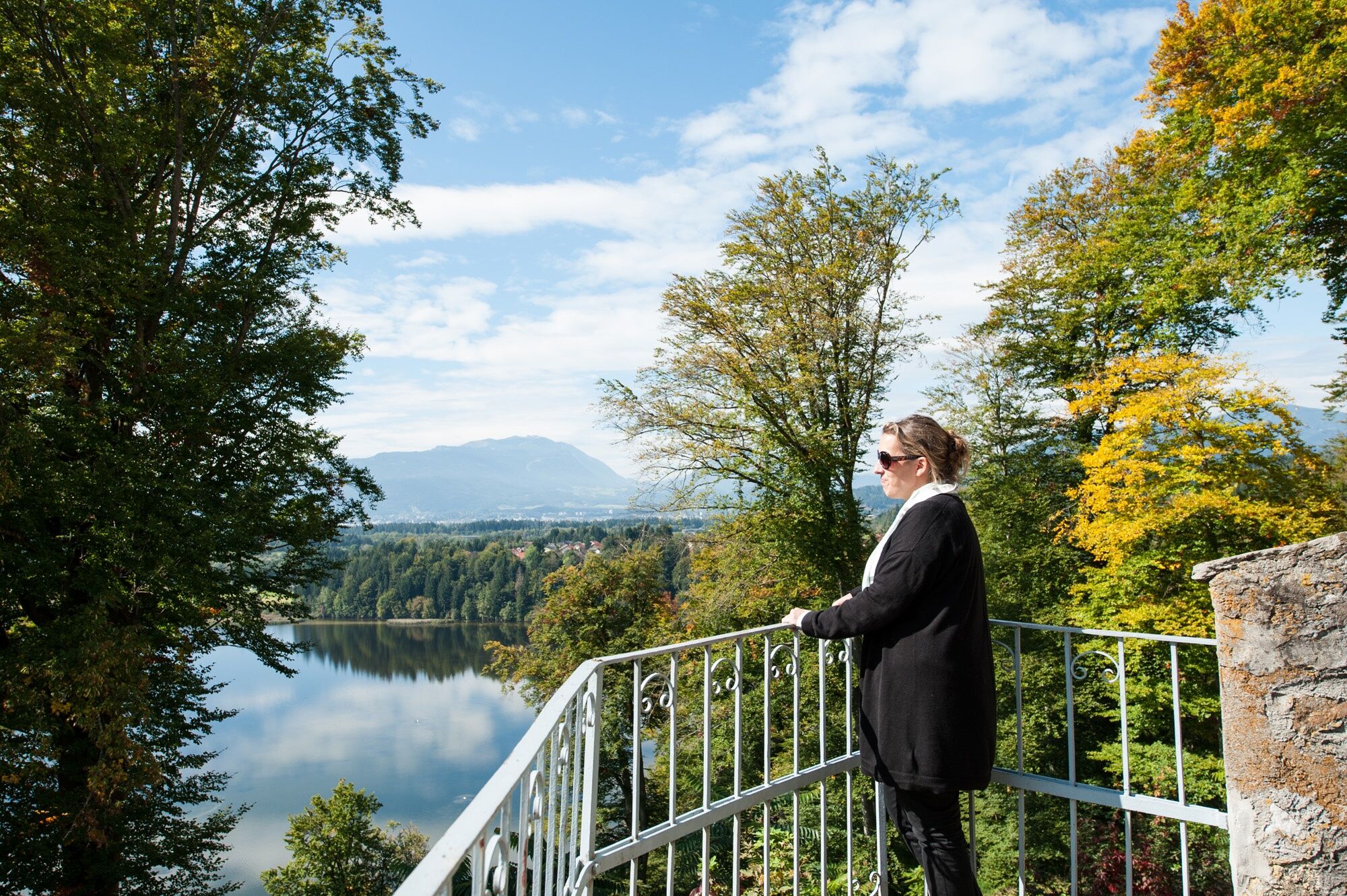
A flat but long hike along the Drau river.
- Difficoltà
-
intermedio
- Valutazione
-
- Percorso
-
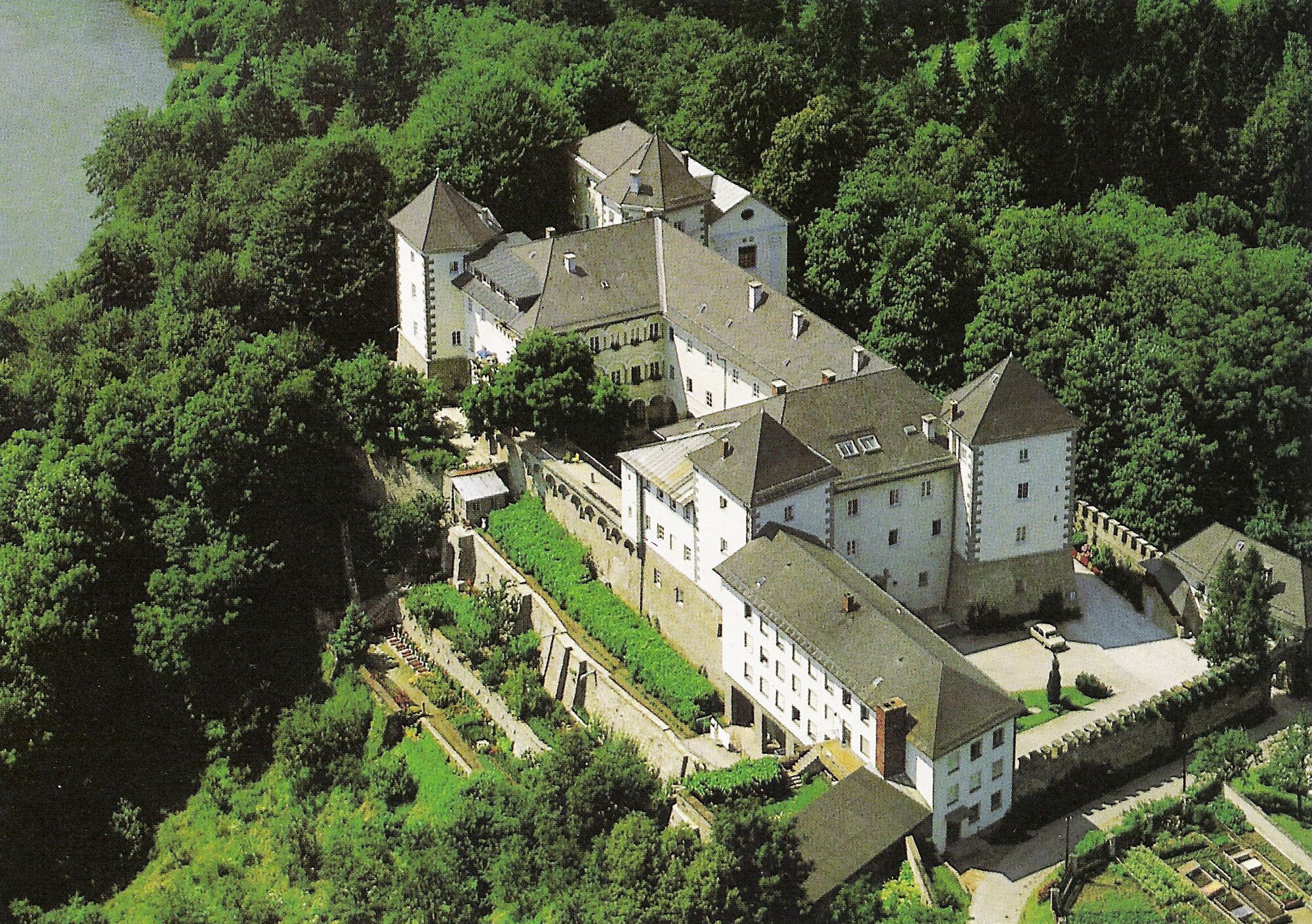
Innere StadtVillaco (501 m)0,2 kmHeiligenkreuzkirche0,8 kmSt. Agathen2,8 kmSt. Magdalen3,6 kmGottestal9,3 kmSchleben10,3 kmWernberg10,5 kmDragnitz12,6 kmGraschitz14,3 kmSankt Niklas14,9 km
- La stagione migliore
-
genfebmaraprmaggiulugagosetottnovdic
- Punto più alto
- 564 m
- Destinazione
-
Villach City Center
- Profilo altimetrico
-

- Autore
-
Il tour City - Lake - Monastery è utilizzato da outdooractive.com fornito.
GPS Downloads


Info generali
Promettente
Altri tour nelle regioni


