

© Region Villach - Faaker See - Ossiacher See - Hannes Kohlmeier

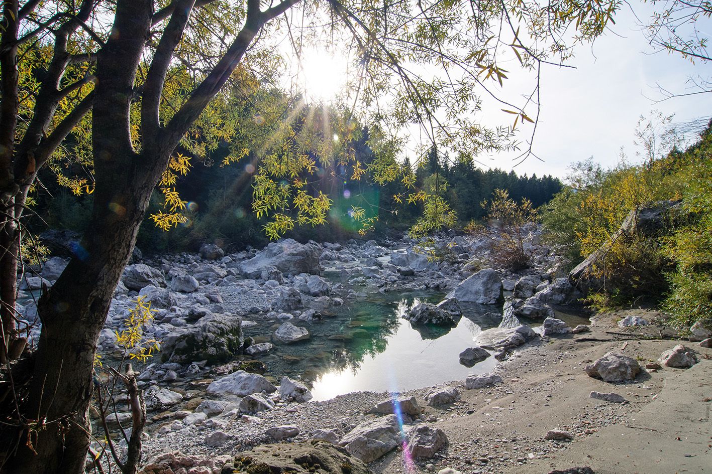
© Region Villach - Faaker See - Ossiacher See - Franz Gerdl

© Region Villach - Faaker See - Ossiacher See - Region Villach

© Region Villach - Faaker See - Ossiacher See - Region Villach

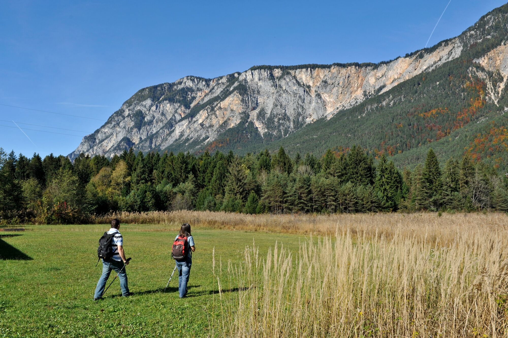
© Franz Gerdl - Region Villach

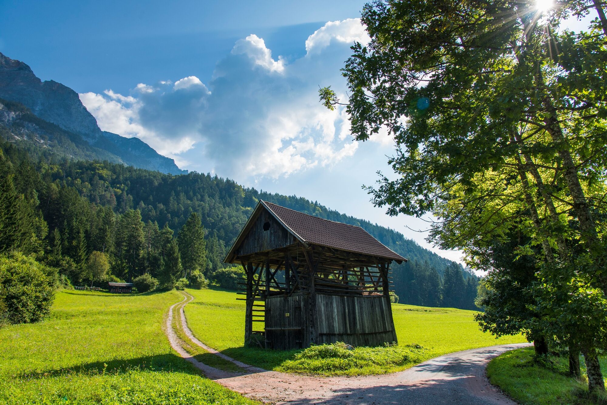
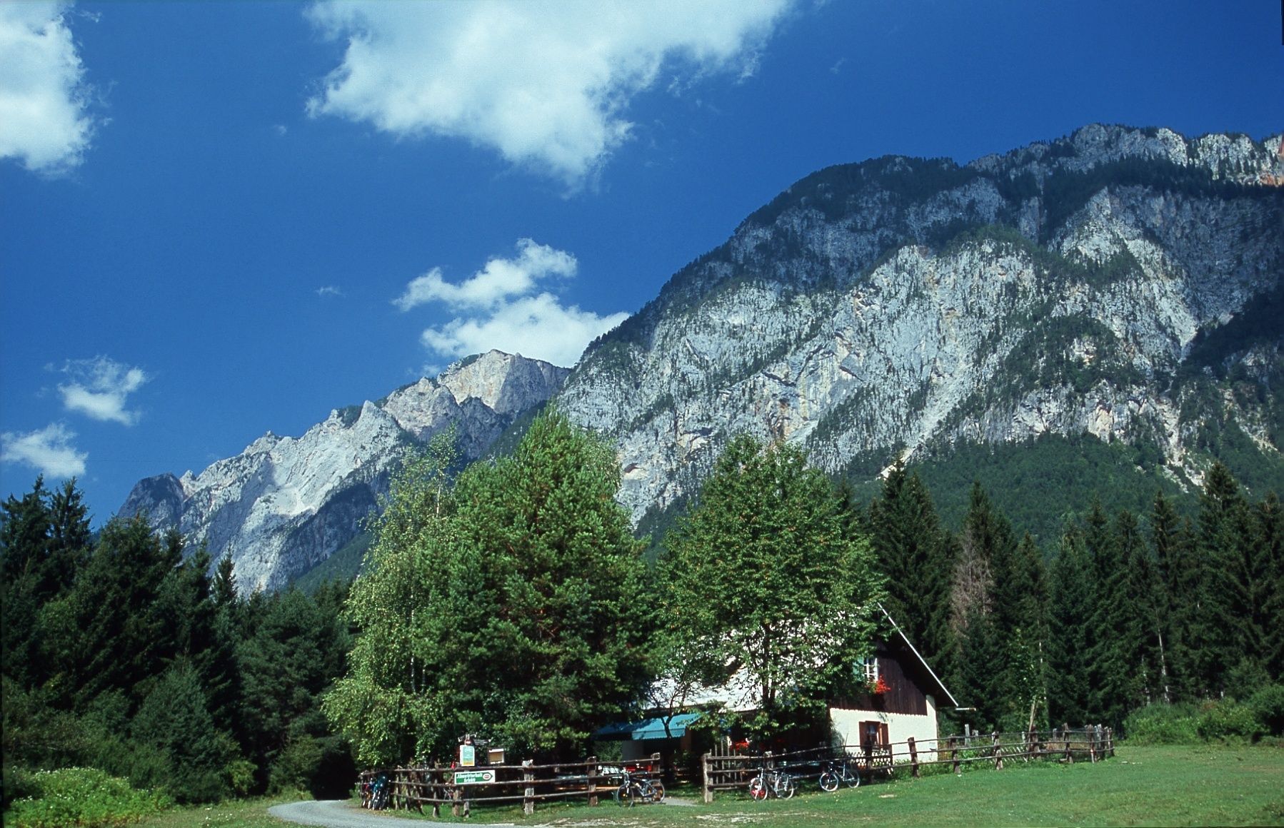
© Almwirtschaft Schütt - Region Villach

- Descrizione rapida
-
A relatively short and flat hike through the landslide area of "Schütt."
- Difficoltà
-
facile
- Valutazione
-
- Percorso
-
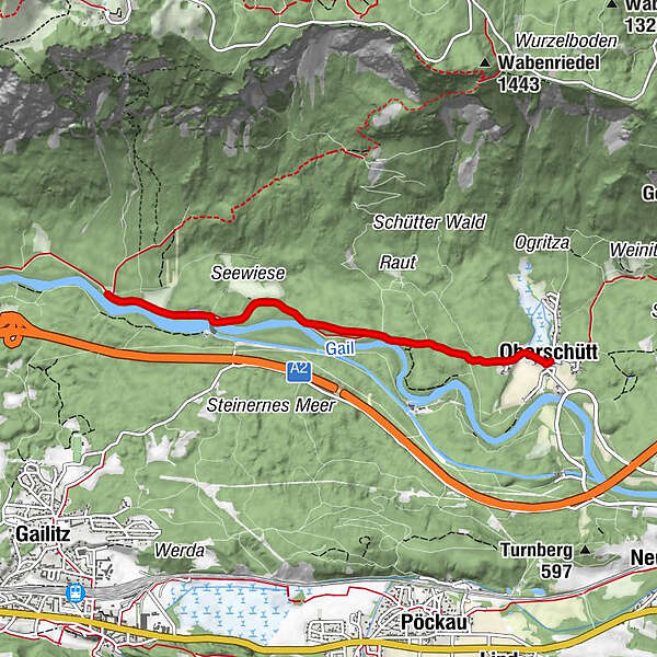
OberschüttSankt Maria Magdalena0,0 kmAlmwirtschaft Schütt3,8 kmSankt Maria Magdalena7,5 kmOberschütt7,6 km
- La stagione migliore
-
genfebmaraprmaggiulugagosetottnovdic
- Punto più alto
- 550 m
- Destinazione
-
Oberschütt Fire Station
- Profilo altimetrico
-


- Autore
-
Il tour Nature Reserve Schütt è utilizzato da outdooractive.com fornito.
GPS Downloads


Info generali
Punto di ristoro
Culturale/Storico
Flora
Fauna
Promettente
Altri tour nelle regioni


