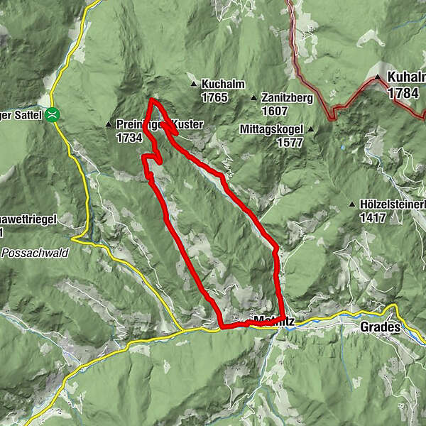
Von Metnitz in die Teichl und zurück über Preining (9)

Escursionismo
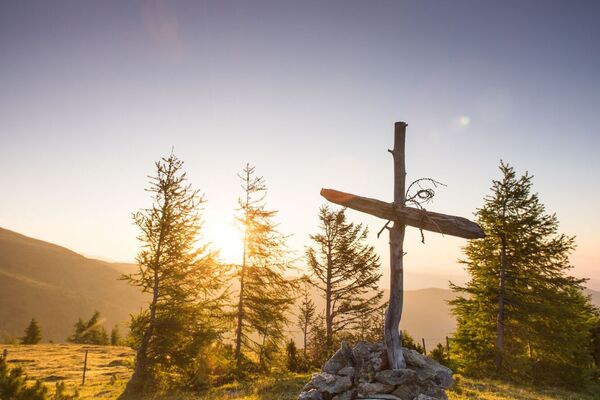
© Mittelkärnten - Gerhard Cerne
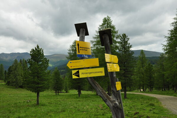
© Mittelkärnten - Gerhard Cerne
© Mittelkärnten - Gerhard Cerne
© Mittelkärnten - Gerhard Cerne

© Mittelkärnten - Tourismusregion Mittelkärnten

- Descrizione rapida
-
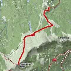
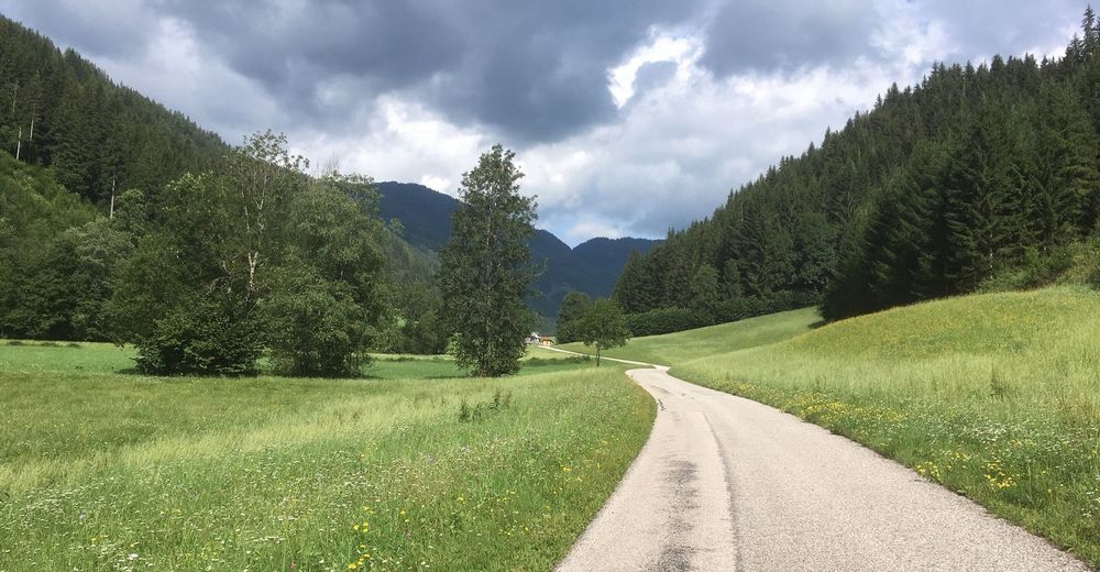
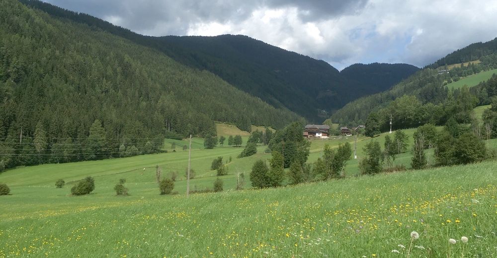
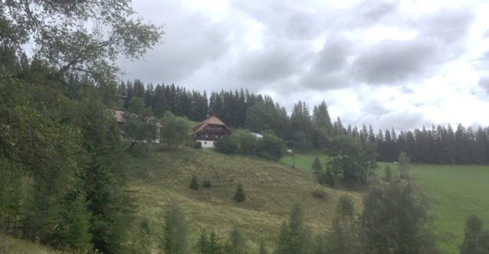
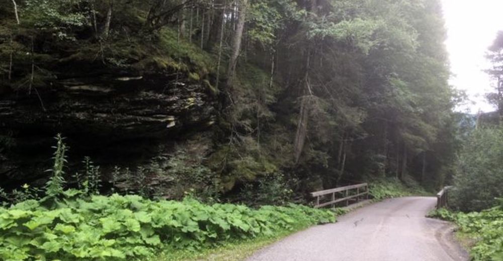
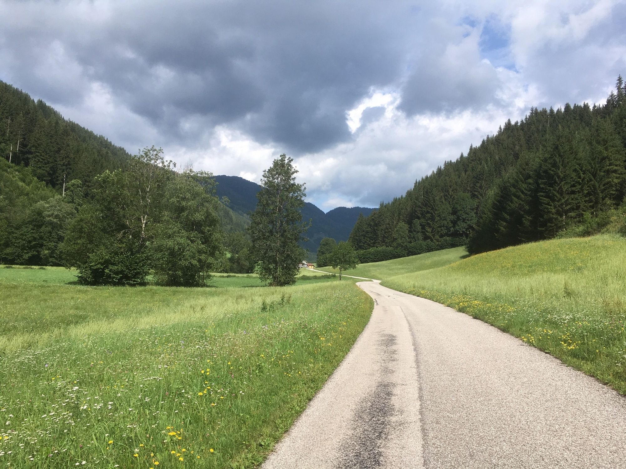
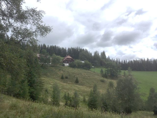
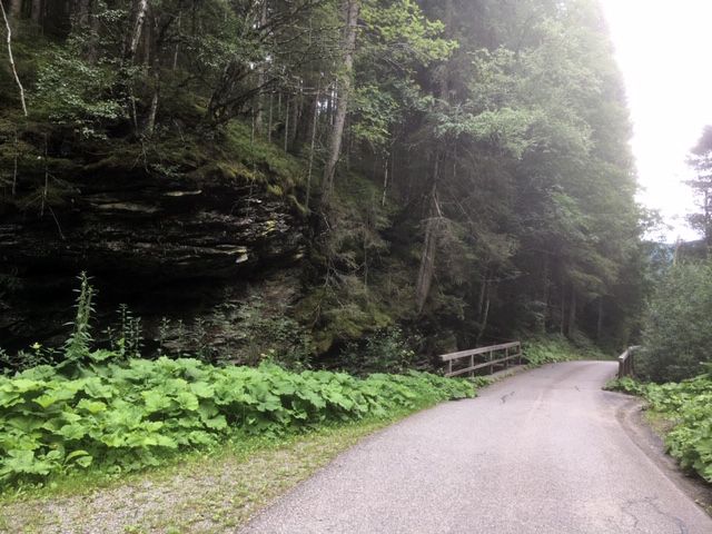
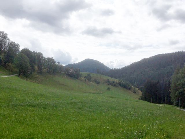
Wanderung von Metnitz den Teichlbach entlang, dann bergauf zum Hausharter und über Preining zurück nach Metnitz.
- Difficoltà
-
intermedio
- Valutazione
-
- Percorso
-
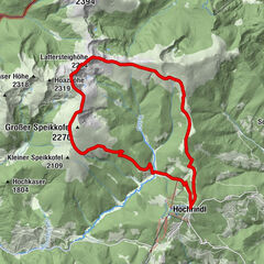
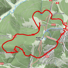
MetnitzerhofMetnitz0,0 kmTeichl1,4 kmMetnitz16,2 km
- La stagione migliore
-
genfebmaraprmaggiulugagosetottnovdic
- Punto più alto
- 1.315 m
- Destinazione
-
Marktplatz Metnitz
- Profilo altimetrico
-


- Autore
-
Il tour Von Metnitz in die Teichl und zurück über Preining (9) è utilizzato da outdooractive.com fornito.
GPS Downloads


Info generali
Punto di ristoro
Promettente
Altri tour nelle regioni