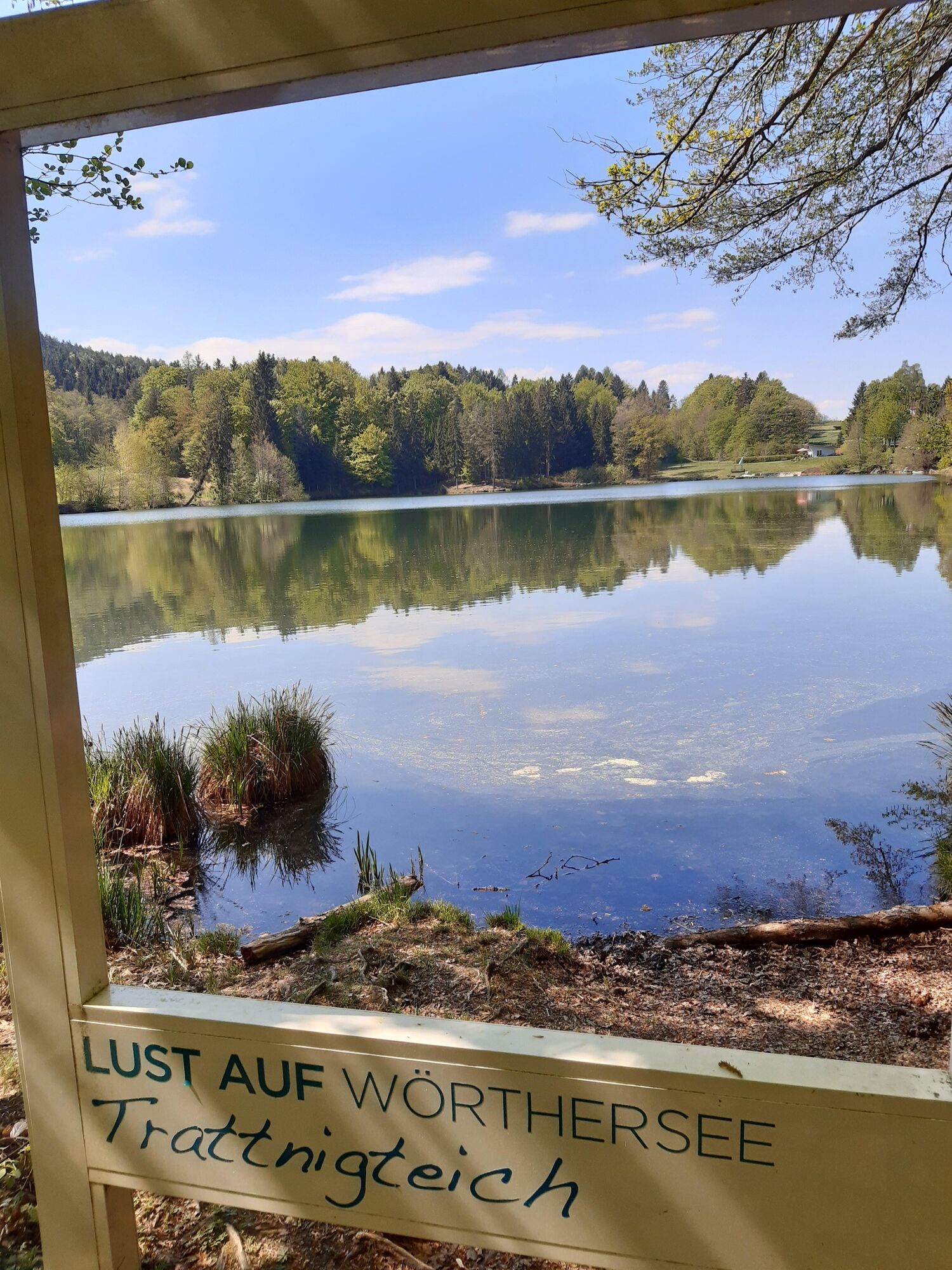
Wörthersee Rundwanderweg Etappe Velden - Reifnitz

Escursionismo

© Andrea Rainer

© Andrea Rainer

© Andrea Rainer

© Andrea Rainer

© Andrea Rainer

© Andrea Rainer

© Andrea Rainer

© Andrea Rainer

© Andrea Rainer

© Andrea Rainer

- Descrizione rapida
-
Von Velden am Wörthersee Rundwanderweg nach Reifnitz und mit dem Schiff zurück
- Difficoltà
-
intermedio
- Valutazione
-
- Percorso
-
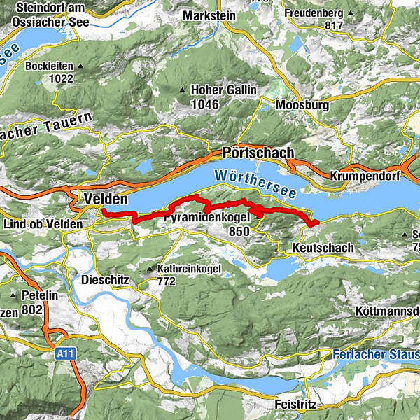
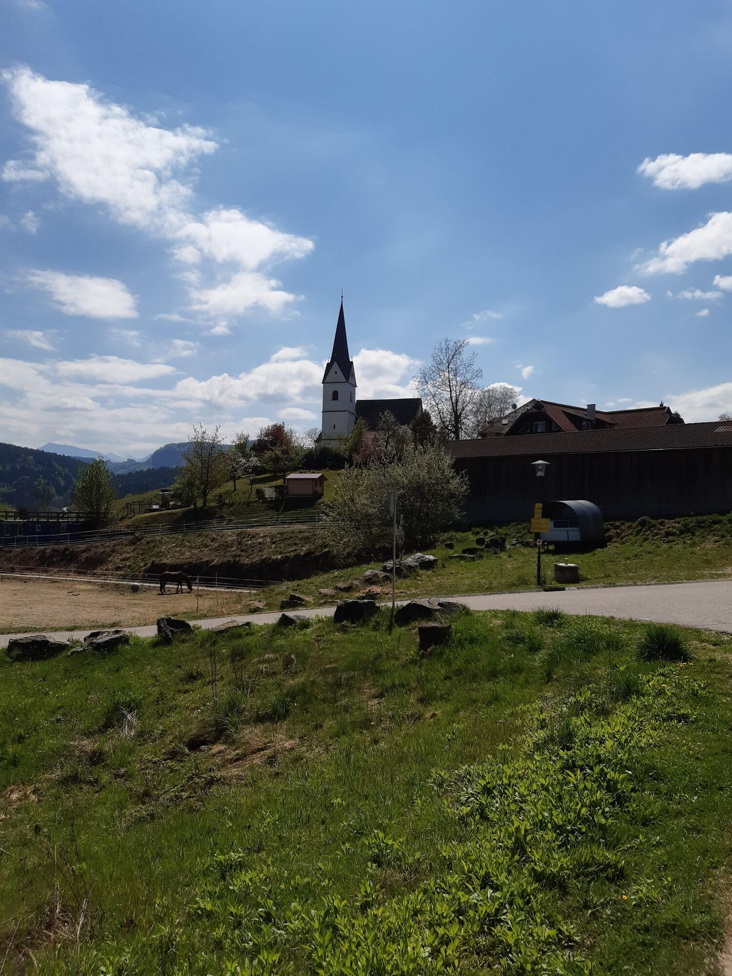
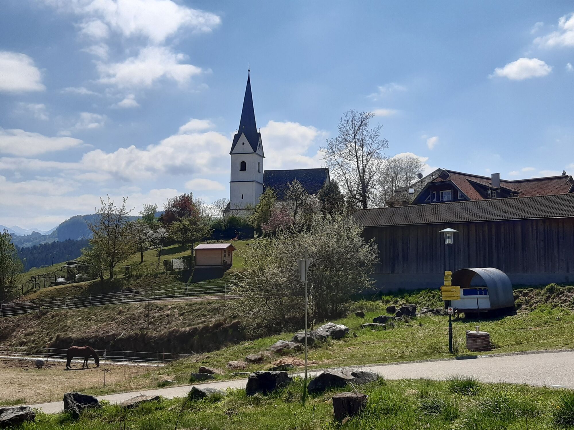
VeldenSanta Lucia Velden0,1 kmAugsdorf2,0 kmAppart-Pension Seehang4,7 kmCamping Village5,7 kmPyramidenkogel (850 m)12,4 kmSankt Anna16,6 kmReifnitz17,8 km
- La stagione migliore
-
genfebmaraprmaggiulugagosetottnovdic
- Punto più alto
- 842 m
- Destinazione
-
Schiffsanlegestelle Reifnitz
- Profilo altimetrico
-


- Autore
-
Il tour Wörthersee Rundwanderweg Etappe Velden - Reifnitz è utilizzato da outdooractive.com fornito.
GPS Downloads


Info generali
Punto di ristoro
Fauna
Promettente
Altri tour nelle regioni


