


- Descrizione rapida
-
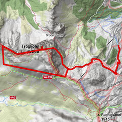
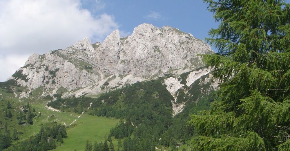
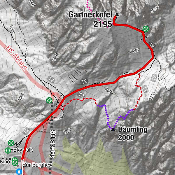
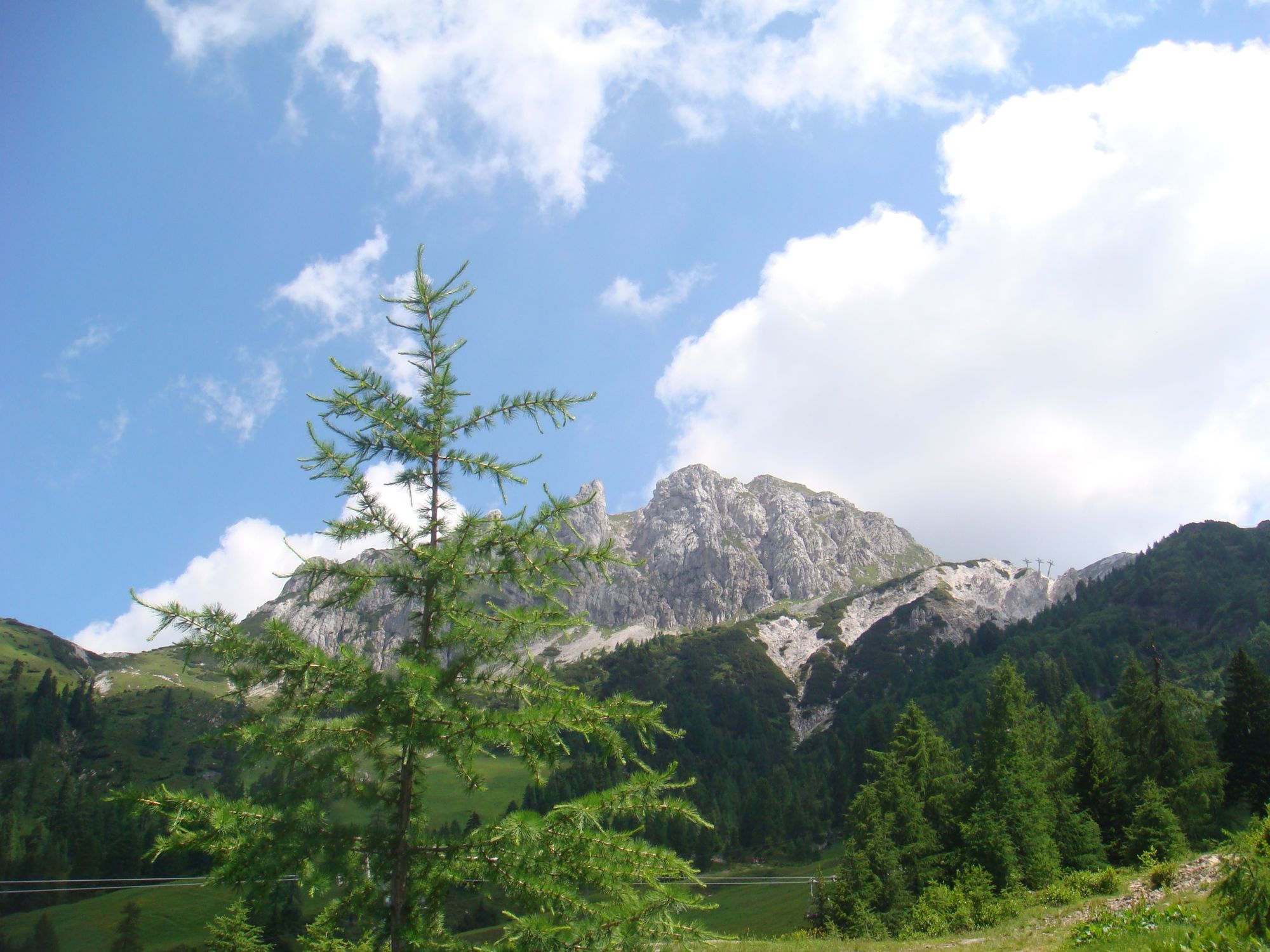
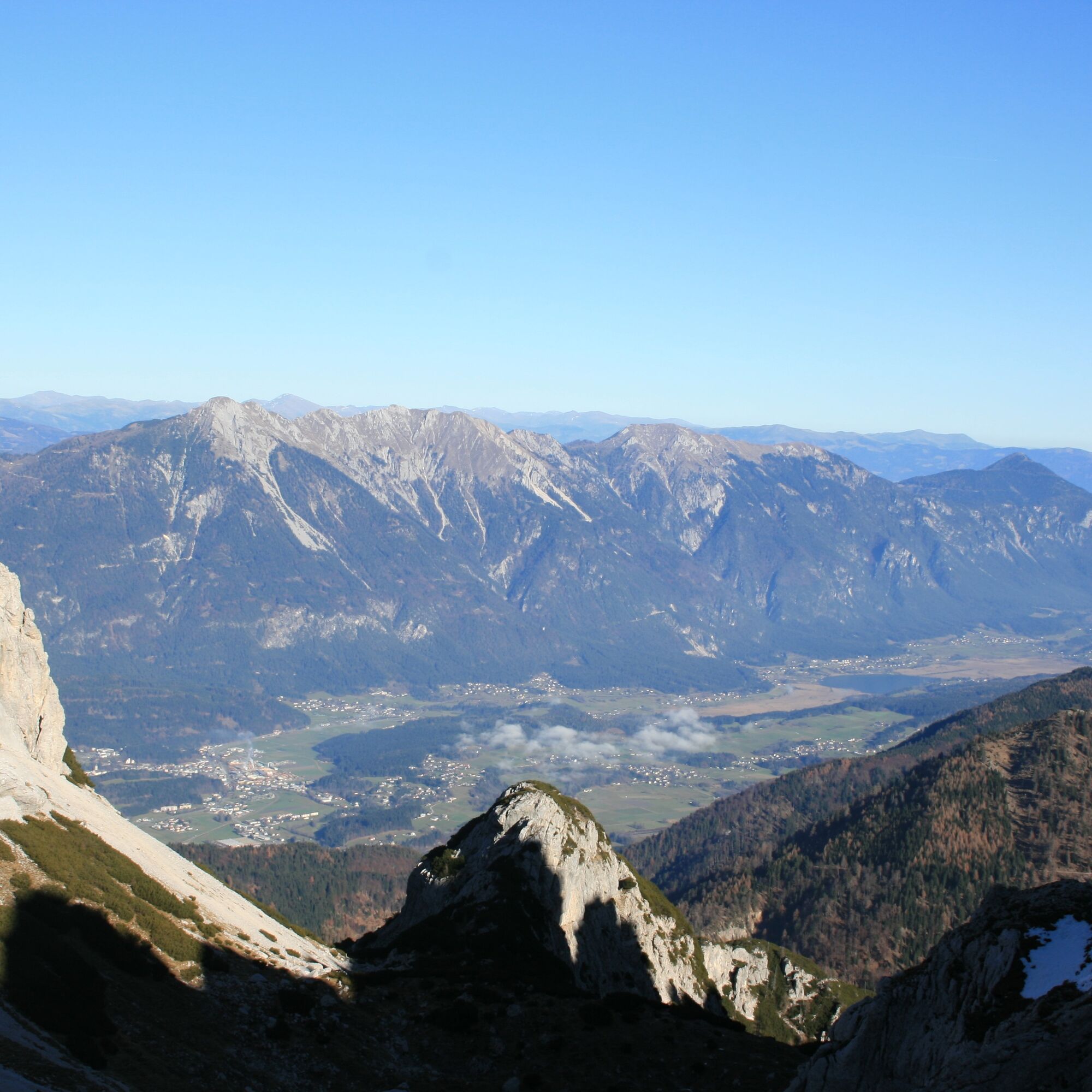
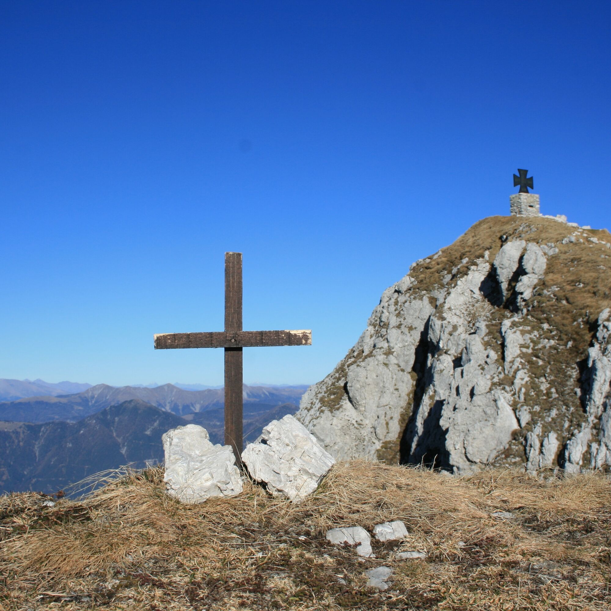
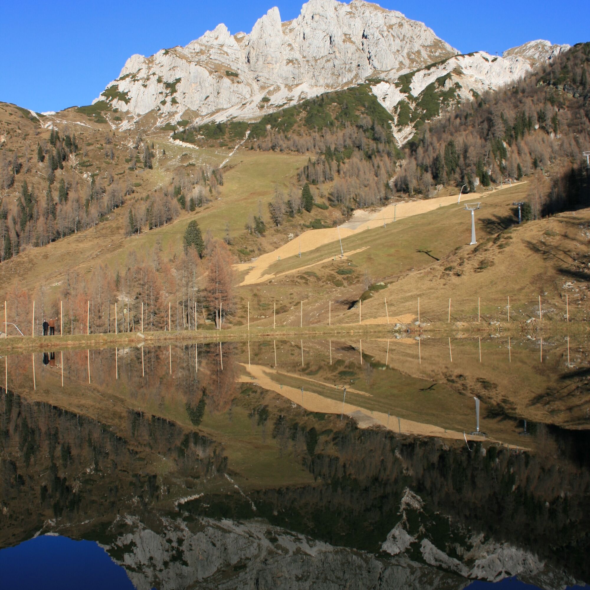
The Gartnerkofel is one of the three prominent mountain peaks of the Carinthian Nassfeld and a beautiful mountain tour for the whole family. Starting at the top station of the Gartnerkofel chairlift, the Gartnerkofel hike is an easy summit tour. The ascent runs in a pleasant, even gradient partly over the slopes of the ski area. The last stretch to the summit cross requires a bit of fitness and a head for heights. However, there are no really exposed parts along the entire way.
Alternatively you can start at the state border at the Nassfeldpass or at the Watschiger Alm.
- Difficoltà
-
facile
- Valutazione
-
- Percorso
-
Gartnerkofel (2.195 m)0,9 km
- La stagione migliore
-
genfebmaraprmaggiulugagosetottnovdic
- Punto più alto
- 2.173 m
- Destinazione
-
Gartnerkofel-Gipfel
- Profilo altimetrico
-


- Autore
-
Il tour Gartnerkofel è utilizzato da outdooractive.com fornito.
GPS Downloads


Info generali
Punto di ristoro
Flora
Promettente
Altri tour nelle regioni