
- Descrizione rapida
-
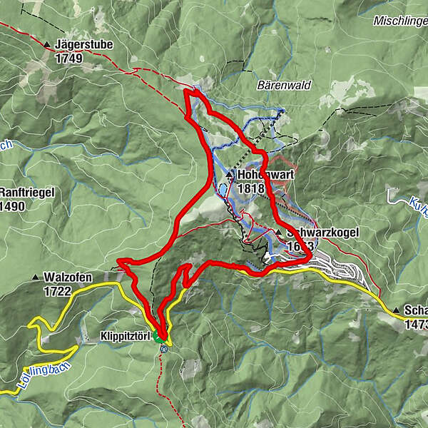
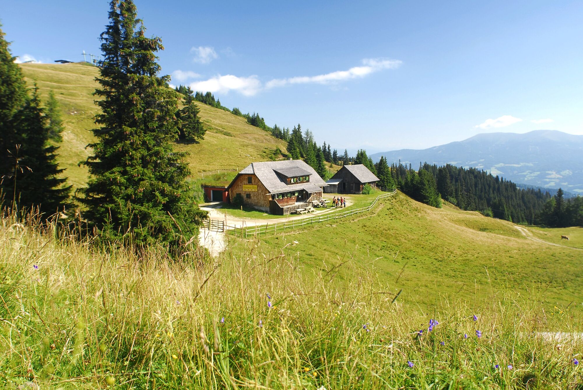
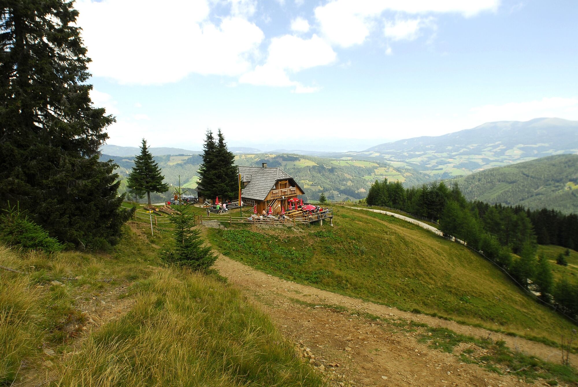
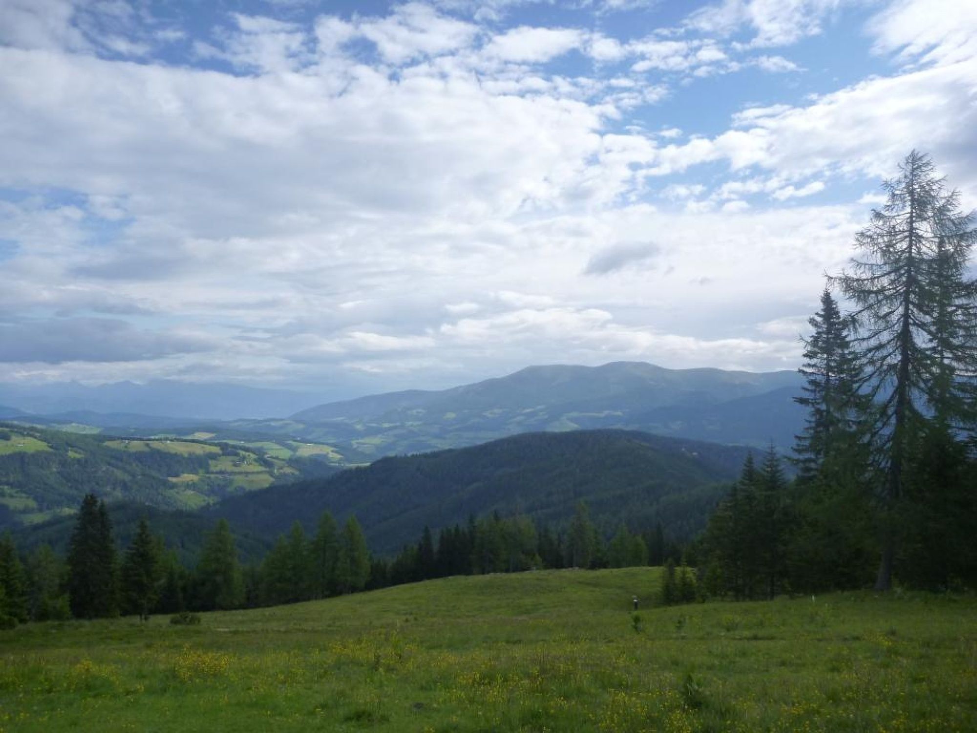
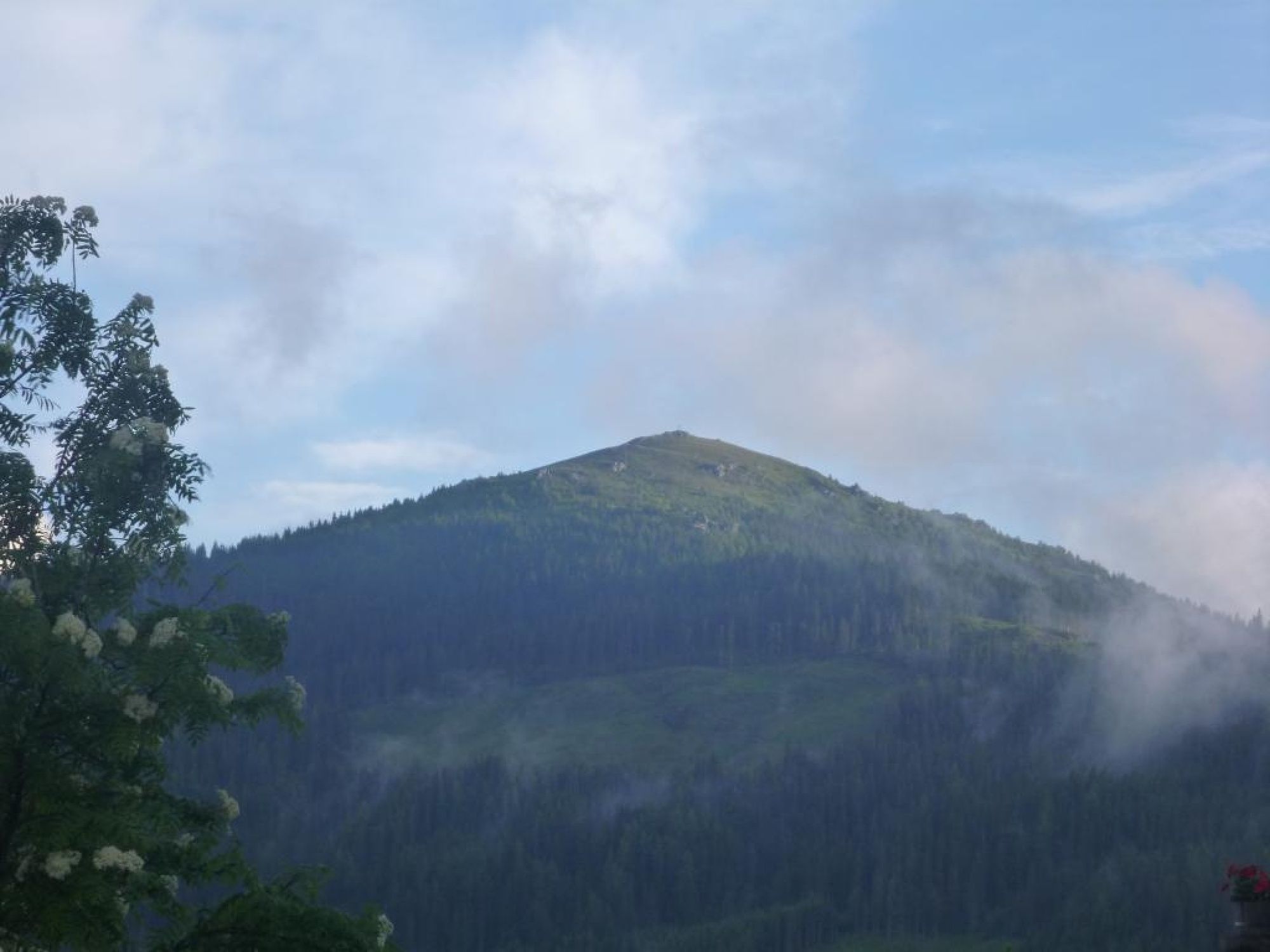
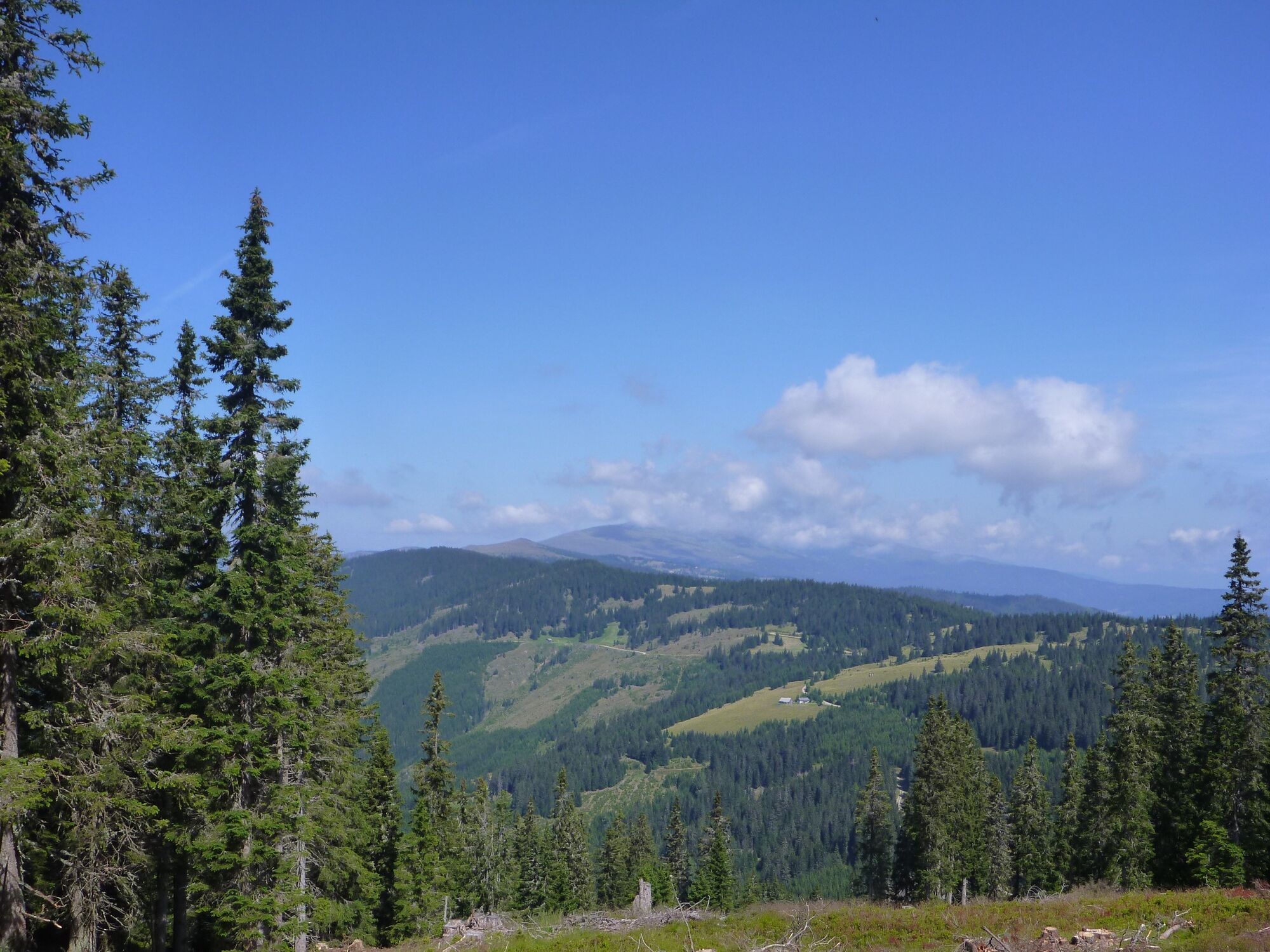
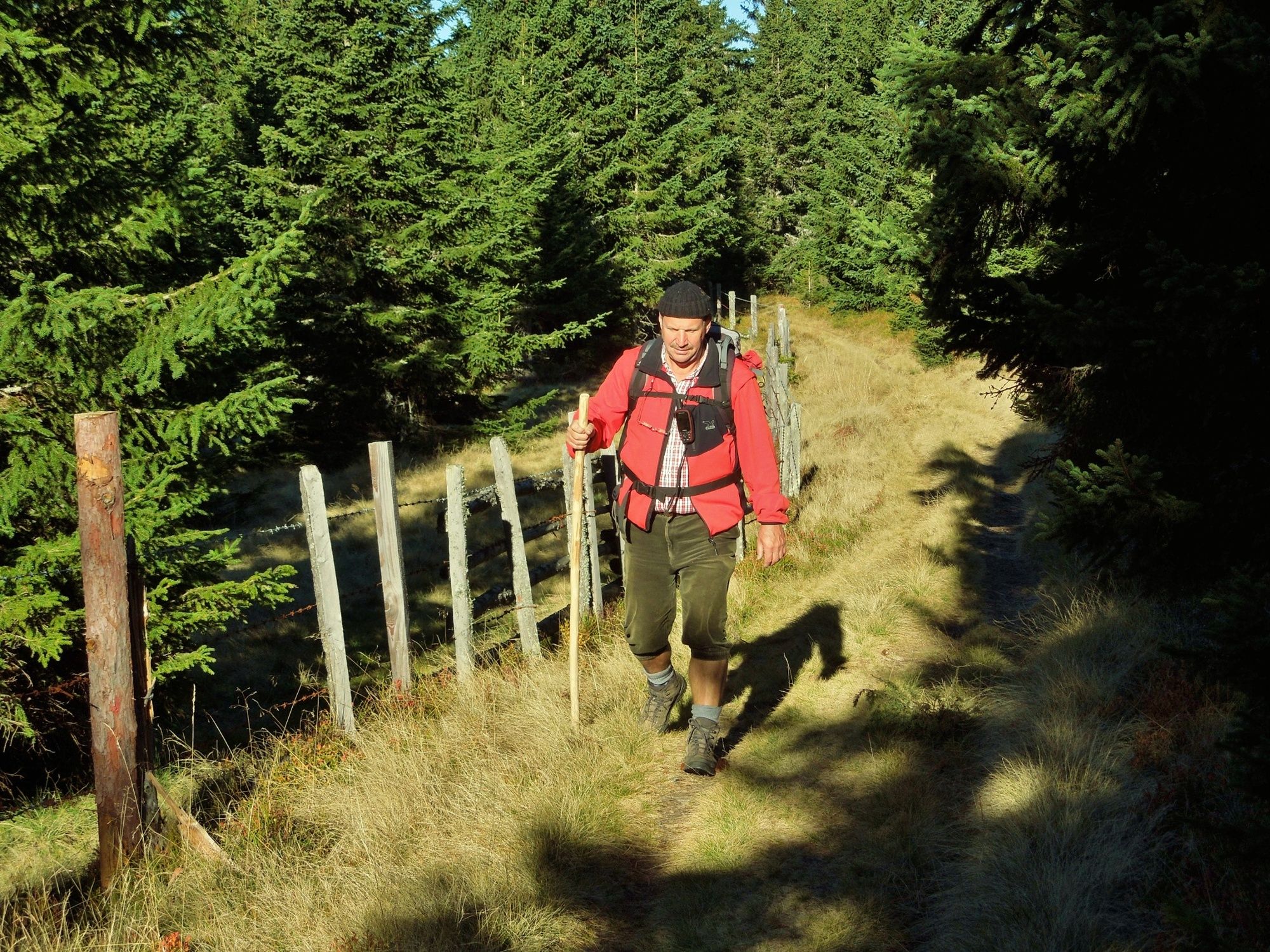
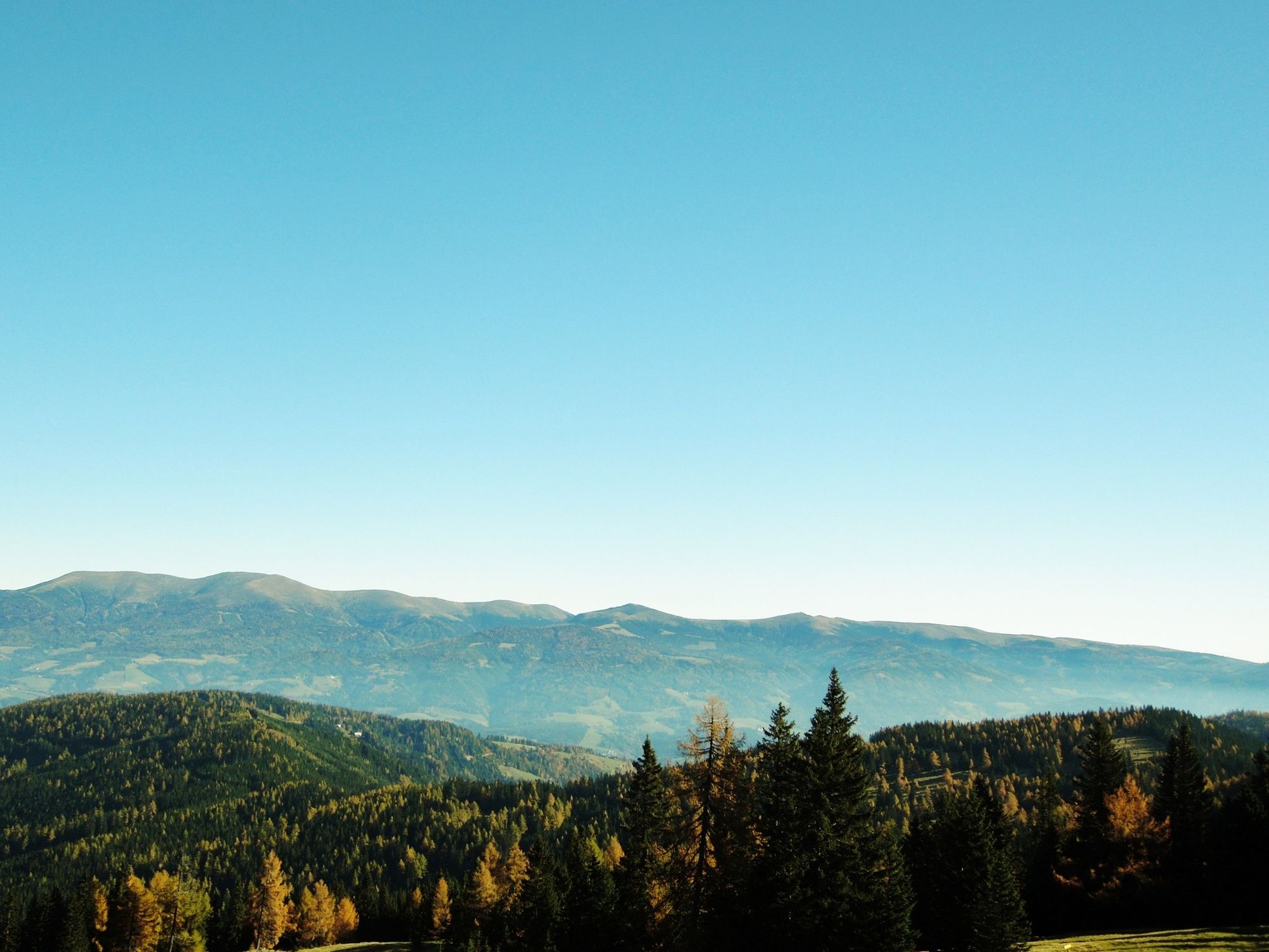
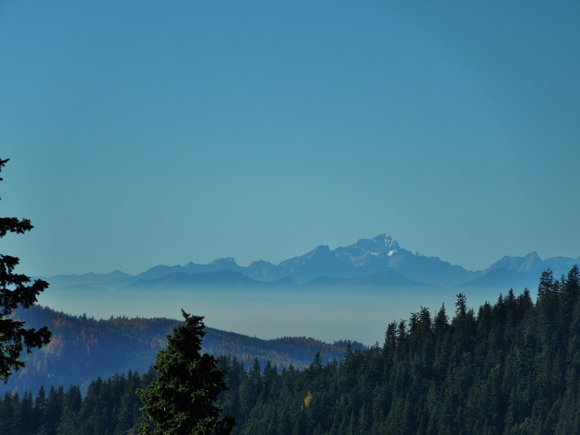
Wunderschöne Rundwanderung am Klippitztörl mit Einkehr in urige Hütten und gemütliche Gasthäuser.
- Difficoltà
-
intermedio
- Valutazione
-
- Percorso
-
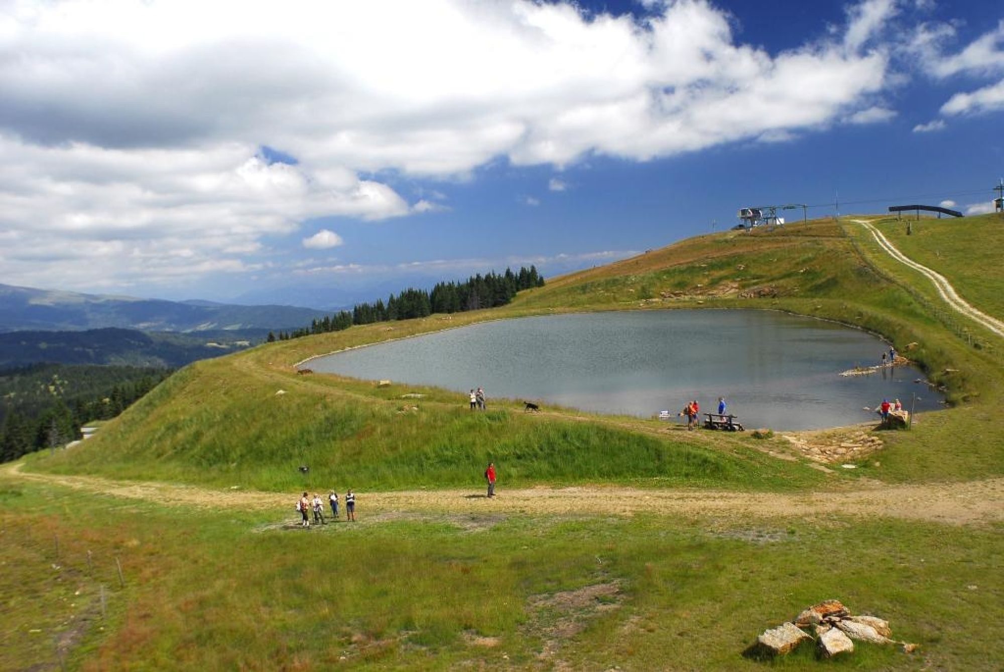
Almhüttendorf KlippitztörlNaturfreundehaus2,4 kmGrünhütte6,6 kmBärenwald7,6 kmMoselebauerhütte8,2 kmAlmhüttendorf Moselebauer8,2 kmSchwarzkogel (1.663 m)8,8 kmSchwartzkogel hütte9,3 kmSchwarzkogel Hütte9,3 kmKlippitztörl9,7 kmAlmhüttendorf Klippitztörl9,9 kmHochegger10,0 kmSeetalerhütte10,0 km
- La stagione migliore
-
genfebmaraprmaggiulugagosetottnovdic
- Punto più alto
- 1.749 m
- Destinazione
-
Parkplatz beim Alpengasthof Hochegger
- Profilo altimetrico
-

-

-
AutoreIl tour Klippitztörl: Rundwanderung è utilizzato da outdooractive.com fornito.
GPS Downloads


Info generali
Punto di ristoro
Flora
Fauna
Promettente
Altri tour nelle regioni
-
Erlebnisregion Murtal
1783
-
Steirisches Zirbenland
711
-
Klippitztörl
145