
© Community - Michael Pirker
© Johann Jaritz


© Wörthersee Tourismus / Christian Fatzi - Christian Fatzi

- Difficoltà
-
intermedio
- Valutazione
-
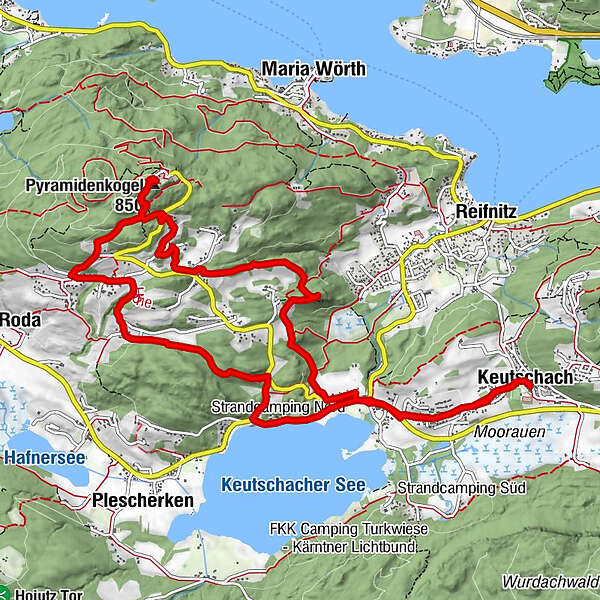
- Percorso
-
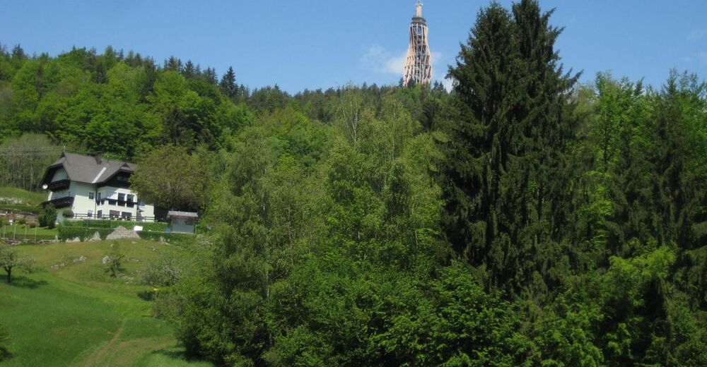
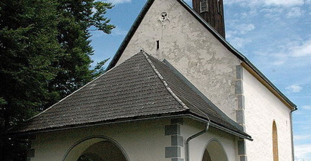
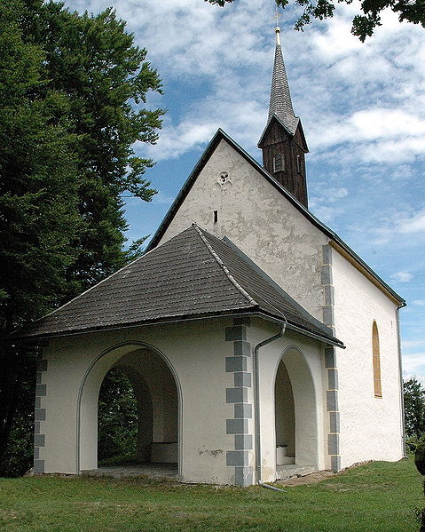
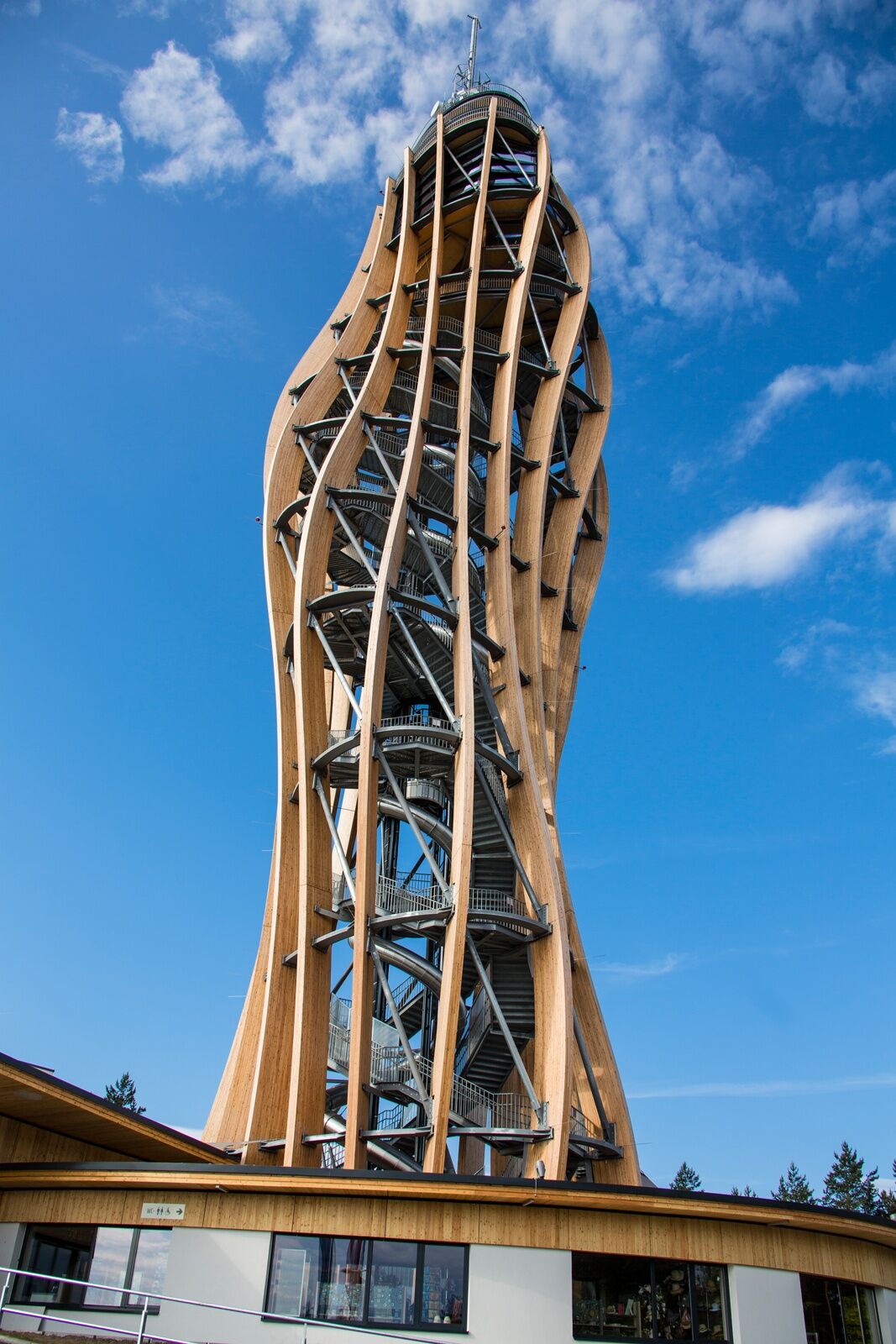
Osttiroler BotschaftKeutschach0,1 kmSchlossstadel Keutschach0,1 kmSchlossstadel0,1 kmVanda0,7 kmSchelesnitz1,0 kmFilialkirche hl Margaretha3,4 kmBuschenschank Buchsbaum5,6 kmGenusswirt am Pyramidenkogel6,6 kmPyramidenkogel (850 m)6,6 kmHöhe8,6 kmPlaschischen11,3 kmSchelesnitz12,5 kmVanda12,9 kmSchlossstadel13,5 kmSchlossstadel Keutschach13,6 kmKeutschach13,6 kmSankt Georg13,7 kmOsttiroler Botschaft13,7 km
- La stagione migliore
-
genfebmaraprmaggiulugagosetottnovdic
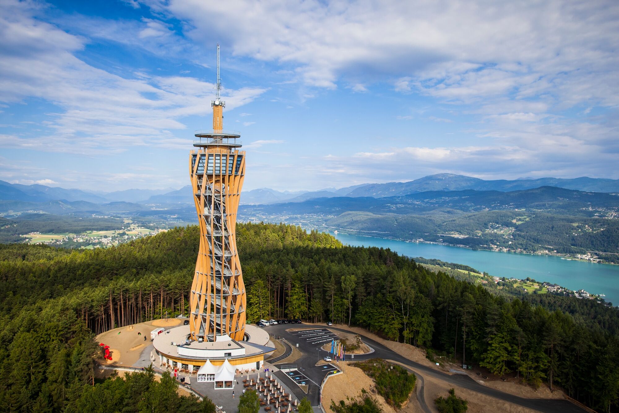
- Punto più alto
- 843 m
- Destinazione
-
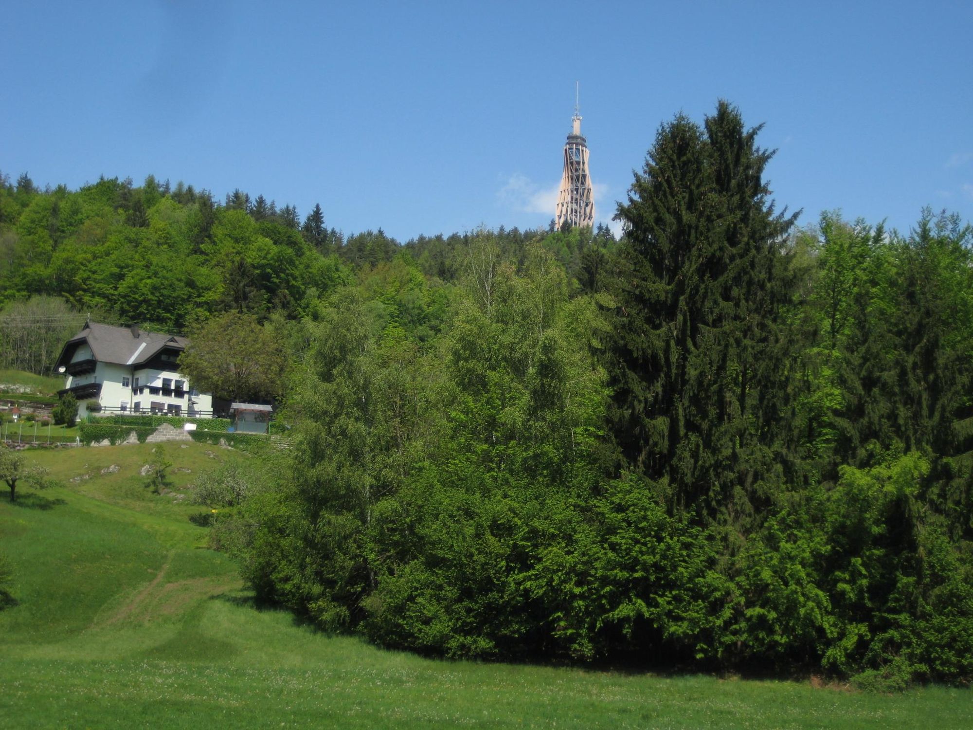
Schloss Keutschach
- Profilo altimetrico
-


- Autore
-
Il tour Pyramidenkogelweg Keutschach è utilizzato da outdooractive.com fornito.
GPS Downloads


Info generali
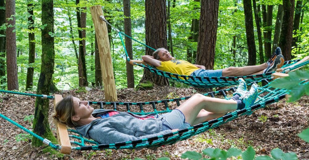
Punto di ristoro
Promettente
Altri tour nelle regioni
-
Wörthersee - Rosental
1949
-
Feldkirchen und Umgebung
937
-
Maria Wörth
328


