© NLW Tourismus Marketing GmbH - Tourismusinfo Nassfeld-Pressegger See


- Descrizione rapida
-
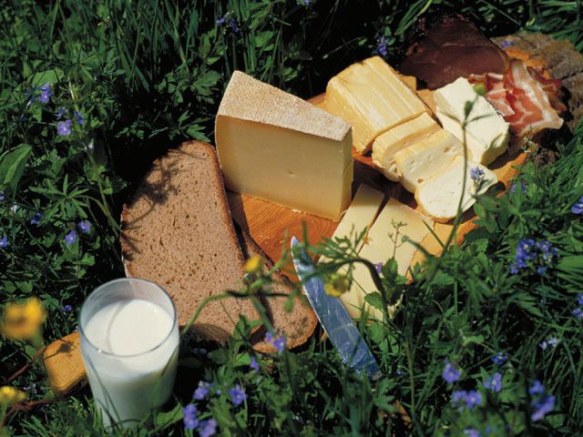
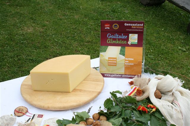
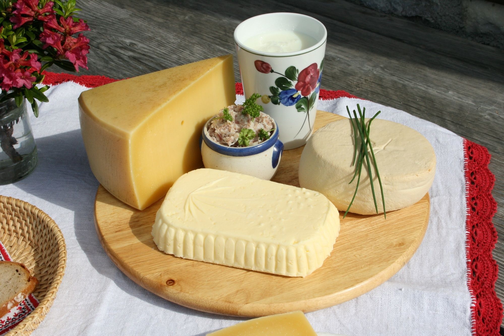
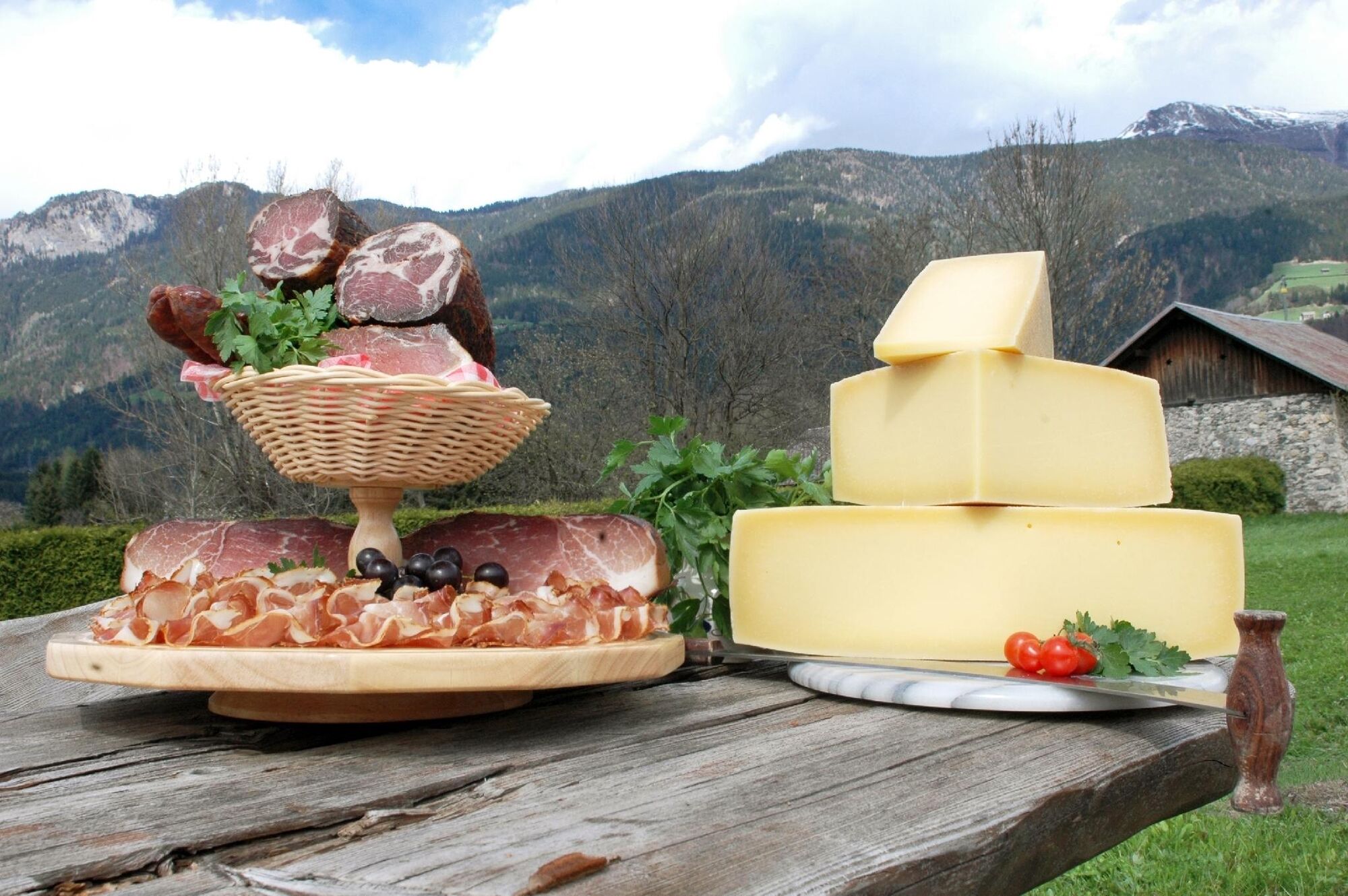
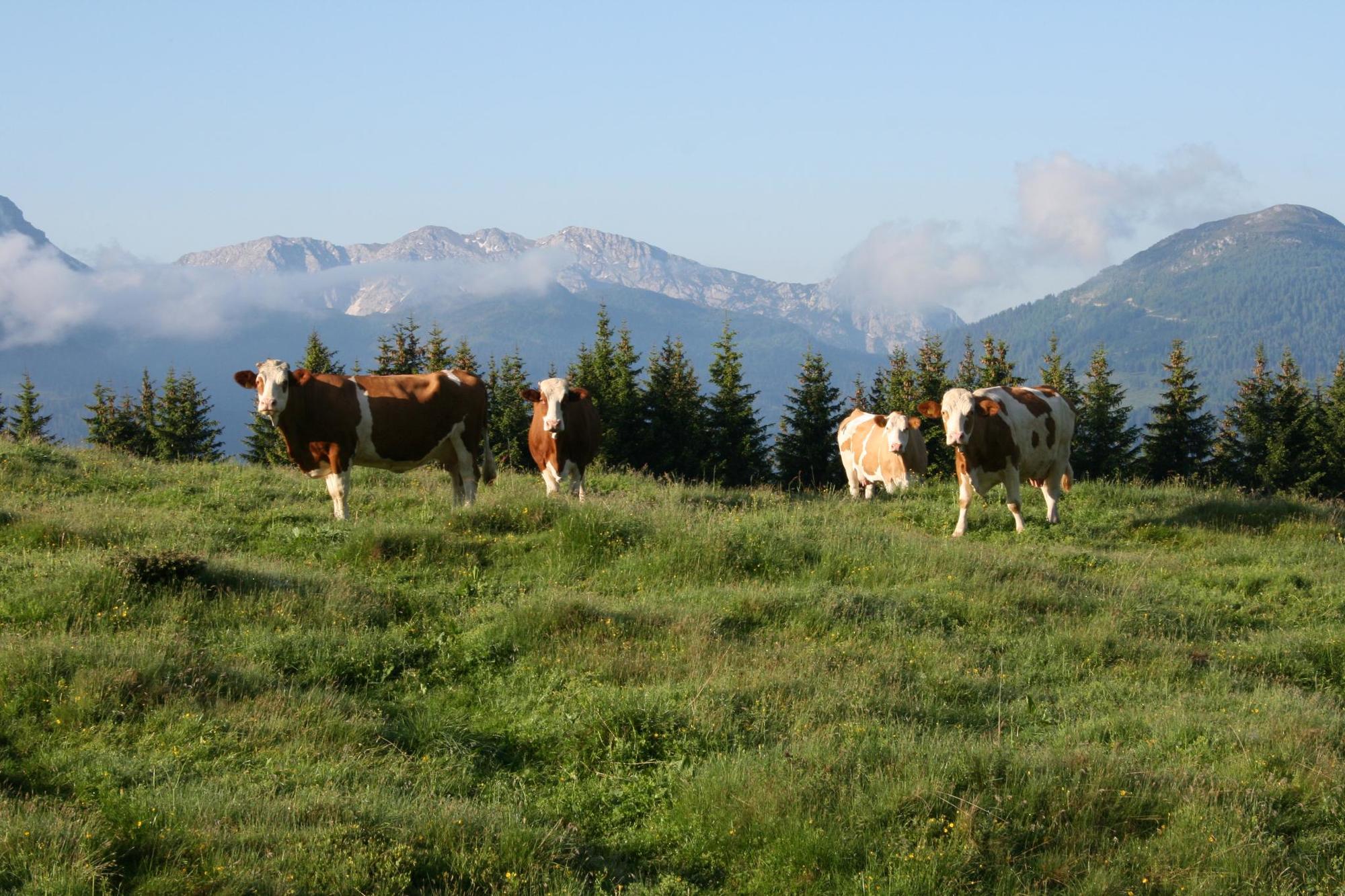
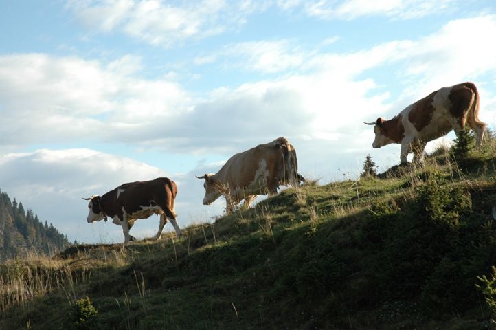
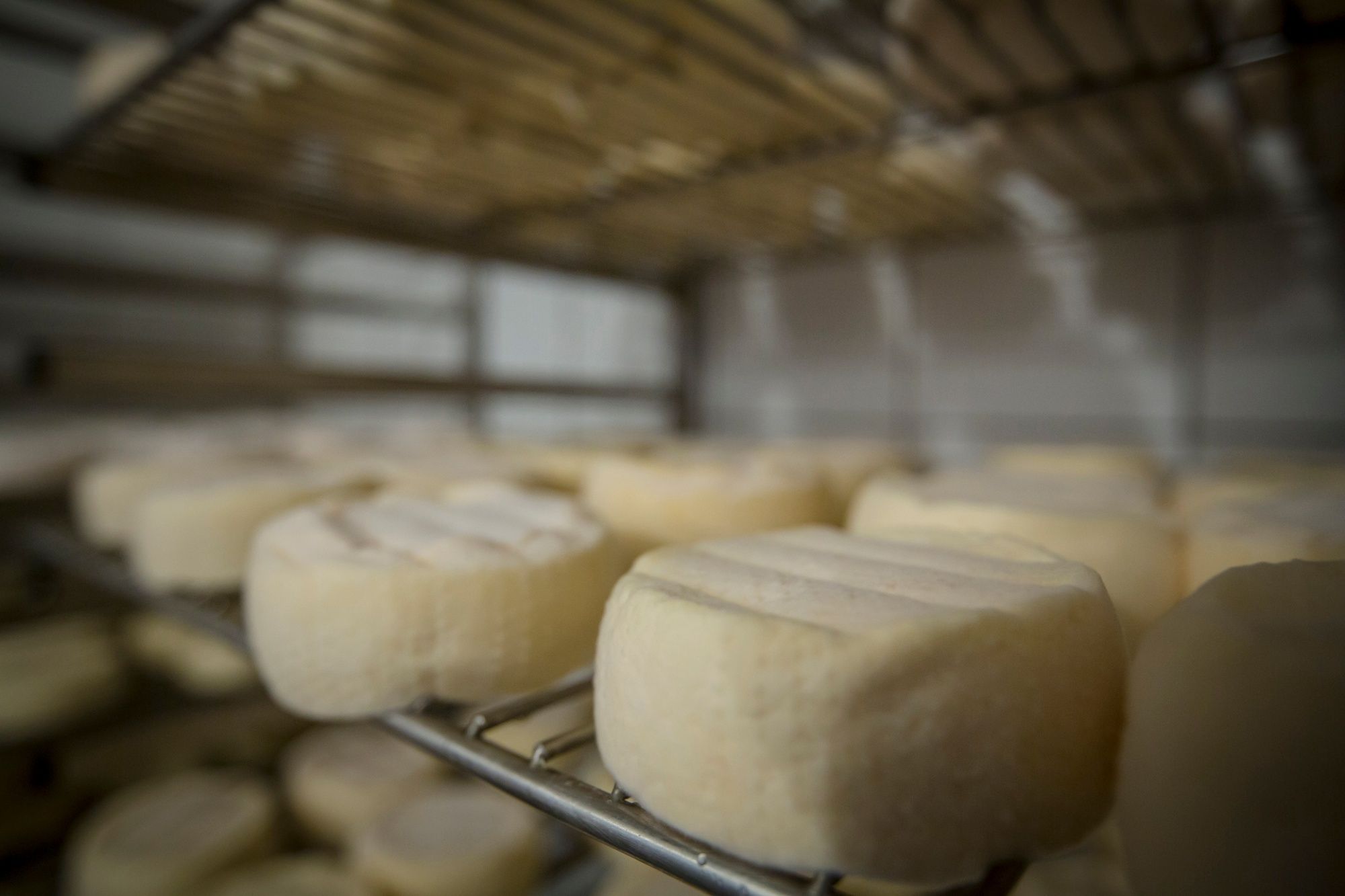
Experience the meeting of two cultures on a leisurely hike in the Carnic Alps. A mixture of traditional products from Carinthia and Carniola can be tasted. You can take your time, because there are also overnight accommodations
- Difficoltà
-
intermedio
- Valutazione
-
- Percorso
-
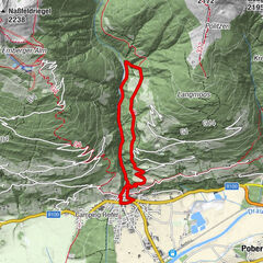
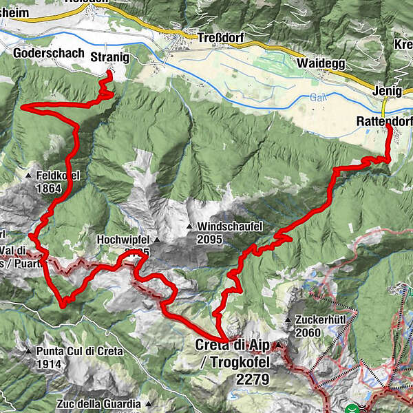
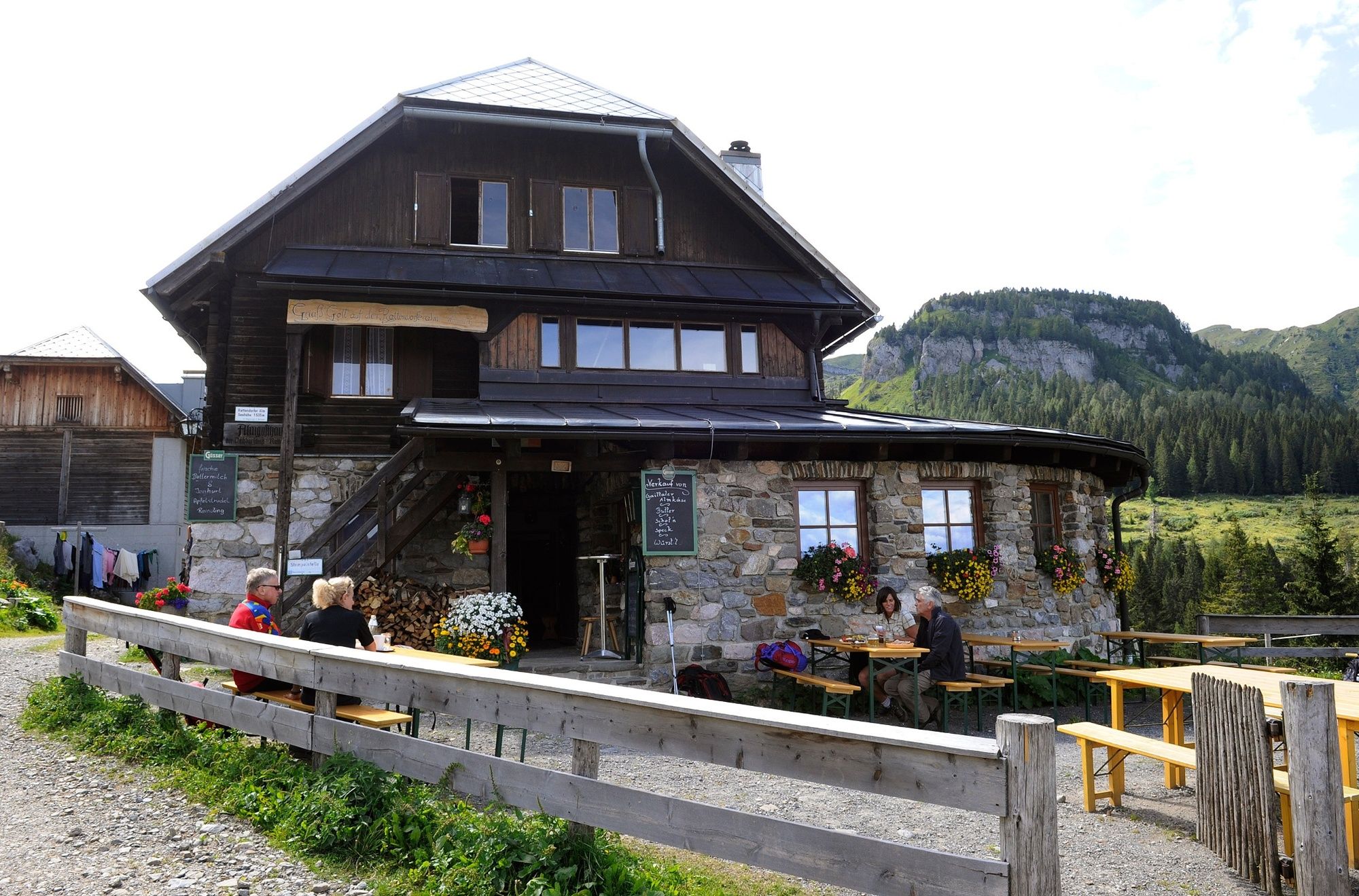
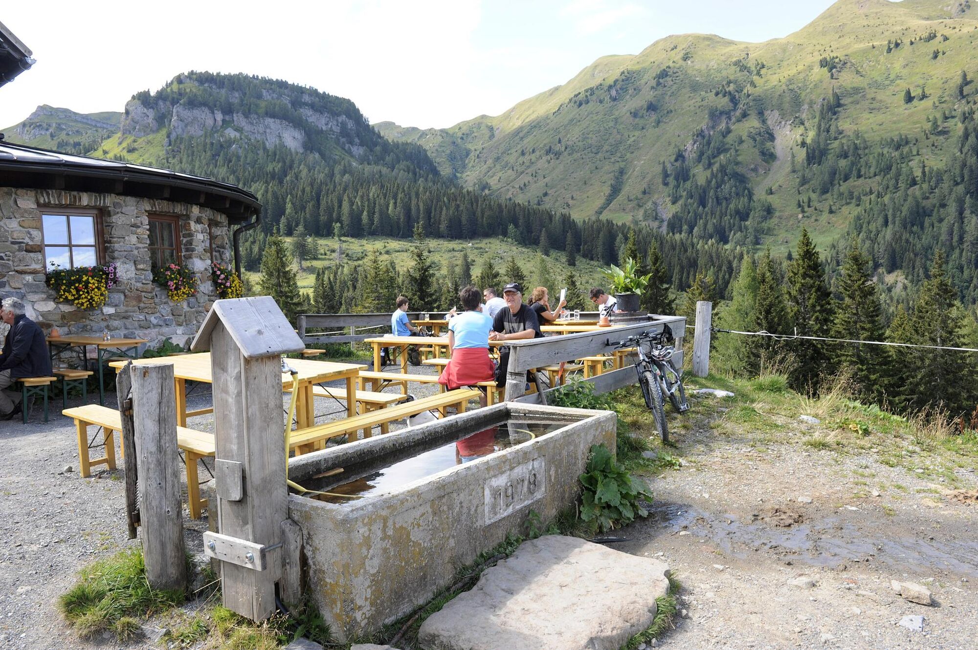
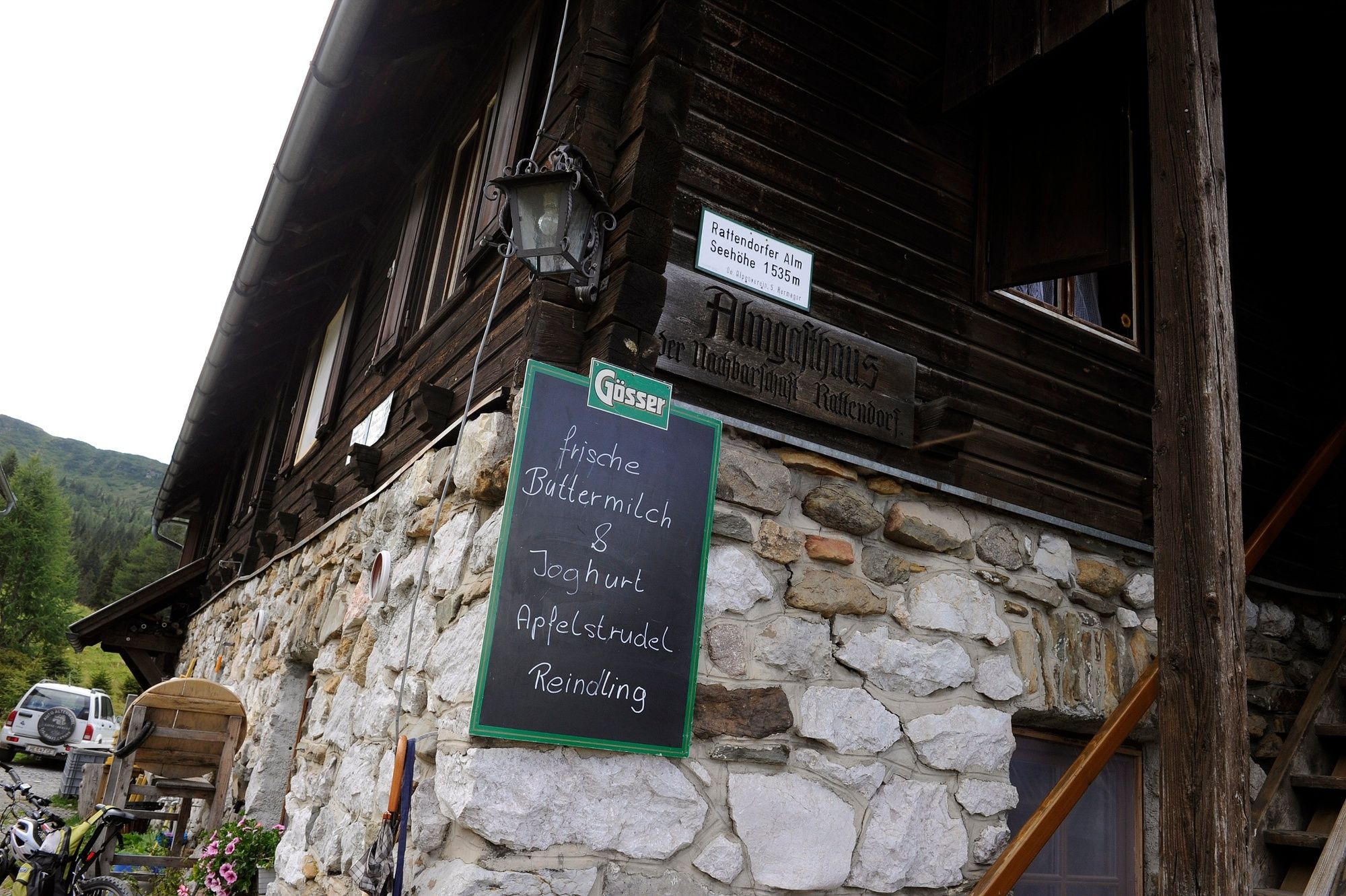
StranigStraniger Alm9,4 kmCasera Cordin Grande13,3 kmRattendorfer Alm21,6 kmRattendorf31,8 km
- La stagione migliore
-
genfebmaraprmaggiulugagosetottnovdic
- Punto più alto
- 2.008 m
- Destinazione
-
Rattendorf
- Profilo altimetrico
-


- Autore
-
Il tour Der Käsewanderweg è utilizzato da outdooractive.com fornito.
GPS Downloads


Info generali
Punto di ristoro
Promettente
Altri tour nelle regioni