© Region Katschberg Lieser-Maltatal - Tourismusverband Lieser- und Maltatal

© Region Katschberg Lieser-Maltatal - Michaela Isola

© Region Katschberg Lieser-Maltatal - Tourismusverband Lieser- und Maltatal

© Region Katschberg Lieser-Maltatal - Tourismusverband Lieser- und Maltatal

© Region Katschberg Lieser-Maltatal - Tourismusverband Lieser- und Maltatal

- Descrizione rapida
-
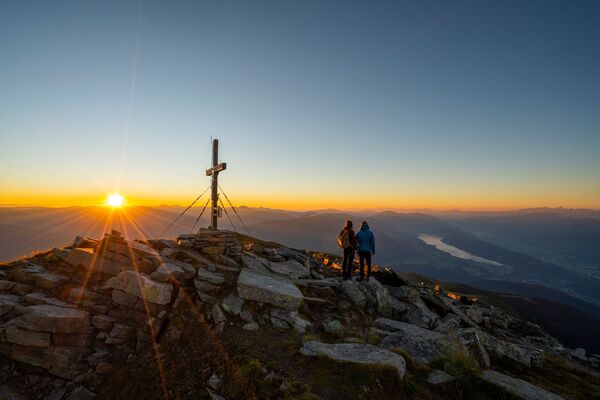
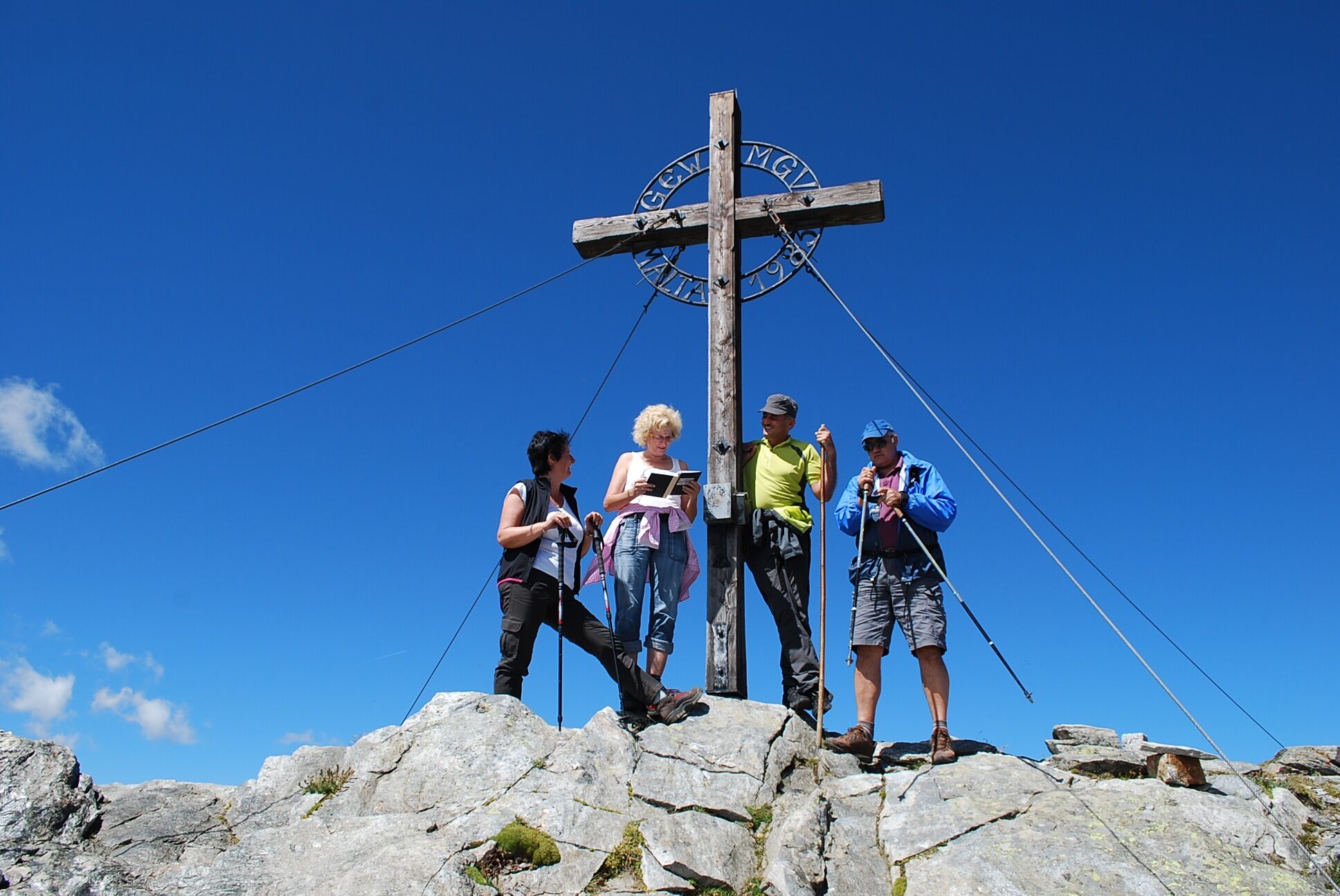
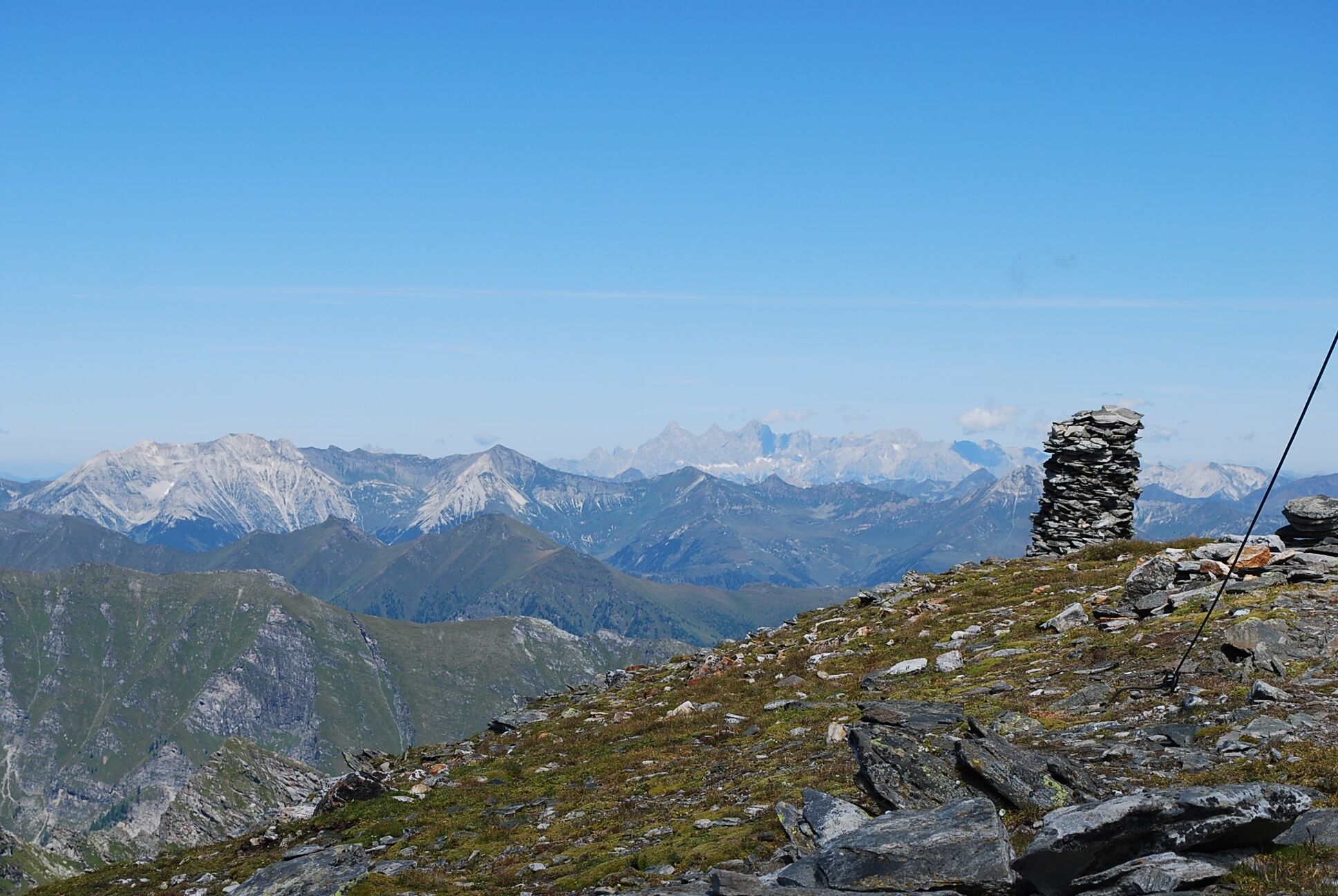
Mächtig schaut das Reitereck aus, kantig wirkt es, unwegsam mit seinem schroffen Felsabsturz zur Glockwandscharte hin, mit seinen nach Norden steil abfallenden Wänden.
- Difficoltà
-
difficile
- Valutazione
-
- Percorso
-
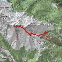
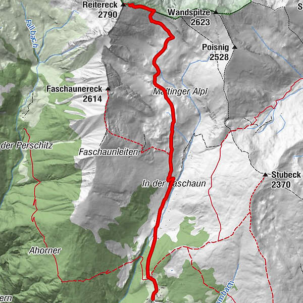
Kramerhütte0,2 kmReitereck (2.790 m)6,4 km
- La stagione migliore
-
genfebmaraprmaggiulugagosetottnovdic
- Punto più alto
- 2.709 m
- Destinazione
-
Reitereck
- Profilo altimetrico
-

- Autore
-
Il tour Vom Maltaberg auf's Reitereck (2 790 m) è utilizzato da outdooractive.com fornito.
GPS Downloads


Info generali
Punto di ristoro
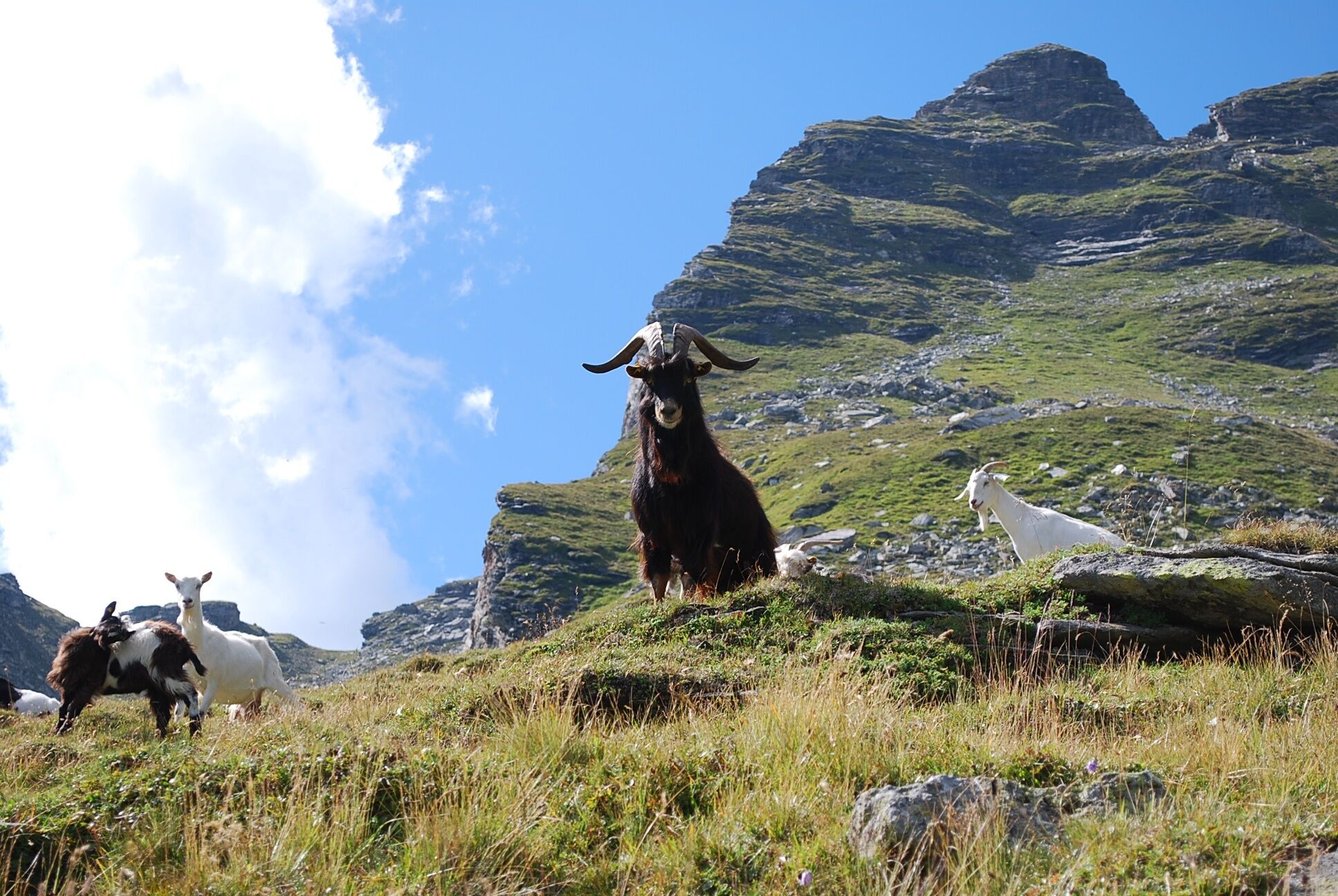
Fauna
Promettente
Altri tour nelle regioni
-
Katschberg Lieser-Maltatal
2574
-
Millstätter See
1052
-
Malta
155