
- Descrizione rapida
-
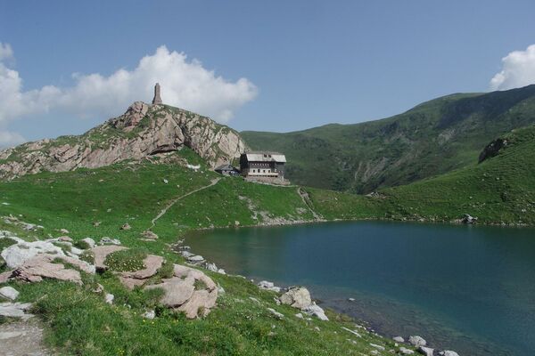
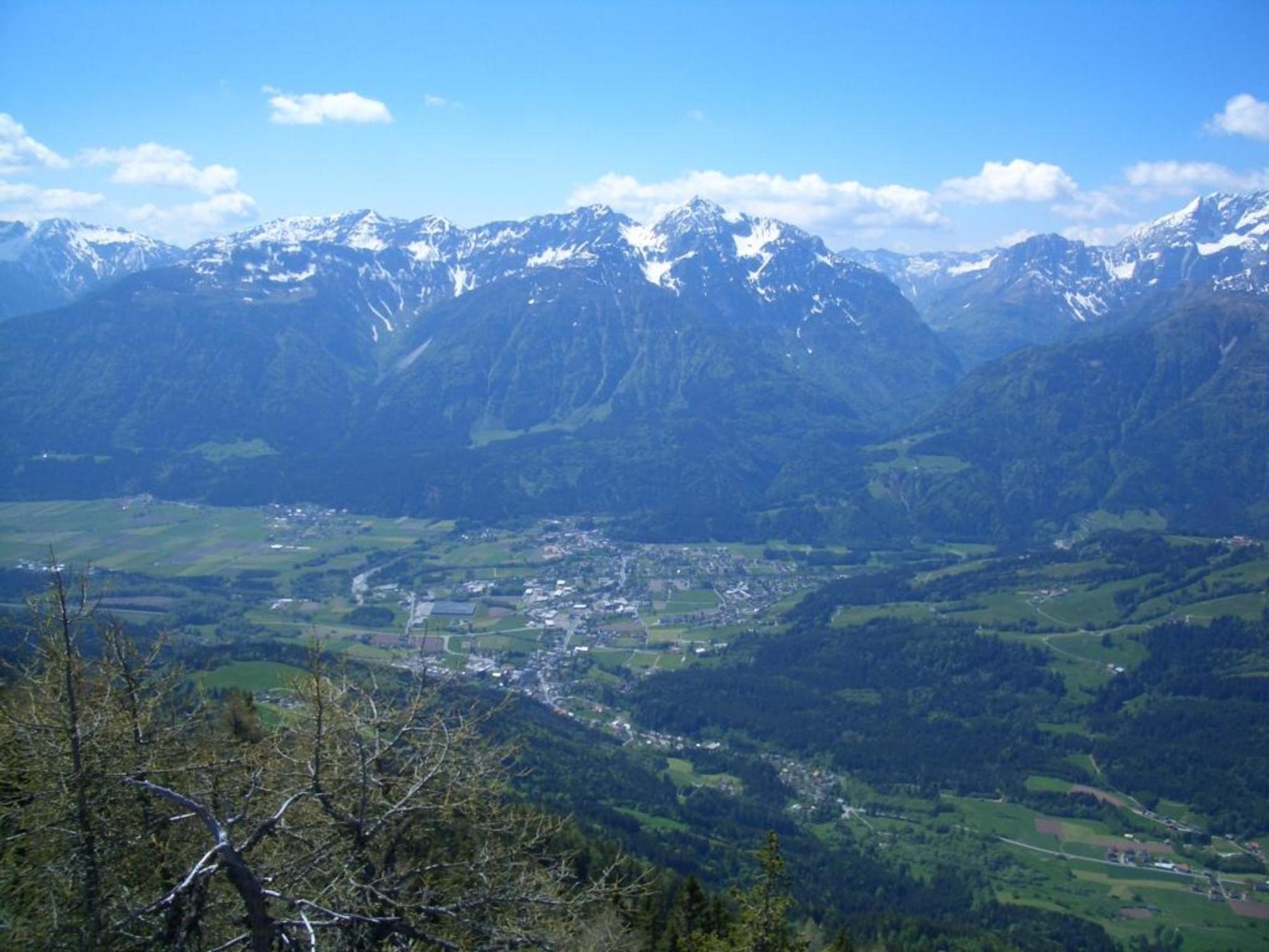
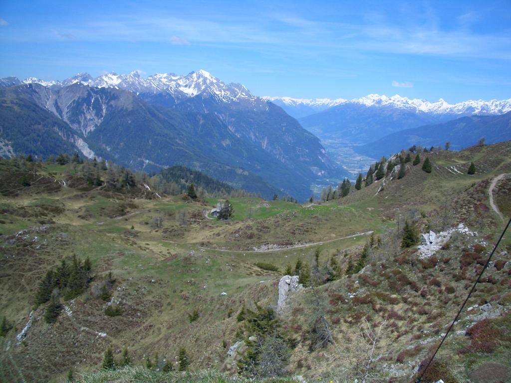
Vom Tal aus muss man schon zwei mal in die Gailtaler Alpen hinaufschauen, um den Gipfel des Jukbichl auszumachen. Steht man allerdings einmal oben, ist es genau umgekehrt:
Solche imposanten Tief- und Weitblicke hat man angesichts dieses von unten unscheinbaren Gipfels wahrscheinlich nicht erwartet.
- Difficoltà
-
intermedio
- Valutazione
-
- Percorso
-
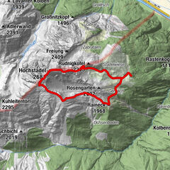
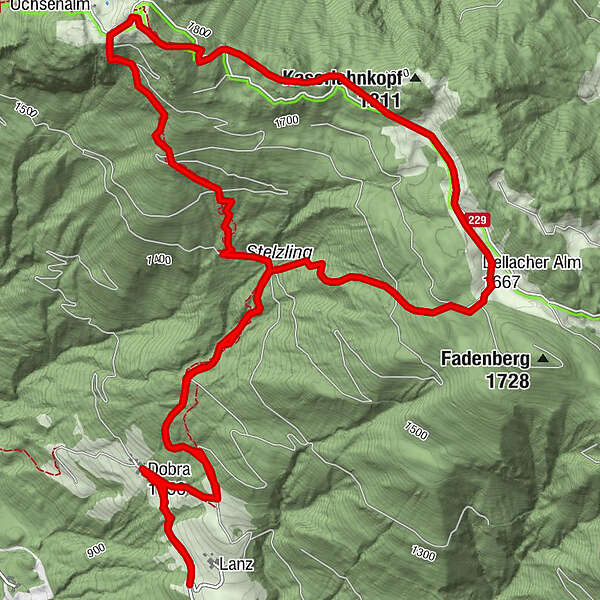
Lanz0,1 kmDobra0,6 kmJukbichl (1.889 m)4,4 kmDobra9,7 kmLanz10,3 km
- La stagione migliore
-
genfebmaraprmaggiulugagosetottnovdic
- Punto più alto
- 1.888 m
- Destinazione
-
Jukbichl (1.889 m)
- Profilo altimetrico
-


- Autore
-
Il tour Jukbichl (1.889 m) è utilizzato da outdooractive.com fornito.
GPS Downloads


Info generali
Promettente
Altri tour nelle regioni