© TV Turracher Höhe

© TV Turracher Höhe - gruber michael

© TV Turracher Höhe

© www.turracherhoehe.at
Dati percorsi
11,63km
1.290
- 1.924m
174hm
658hm
04:00h

- Descrizione rapida
-
Über Schafalm und Winkleralm durch ein wildromantisches Gebirgstal (mittel)
- Valutazione
-
- Punto di partenza
-
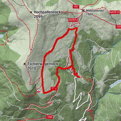
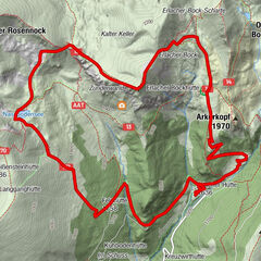
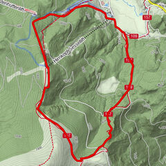
Turrachersee, Parkplatz Kornockbahn
- Percorso
-
K-Alm0,0 kmSteinturrach (1.941 m)1,5 kmWildbachhütte9,9 kmTurrach11,4 km
- La stagione migliore
-
genfebmaraprmaggiulugagosetottnovdic
- Punto più alto
- 1.924 m
- Destinazione
-
Ort Turrach
- Riposo/Ritiro
-
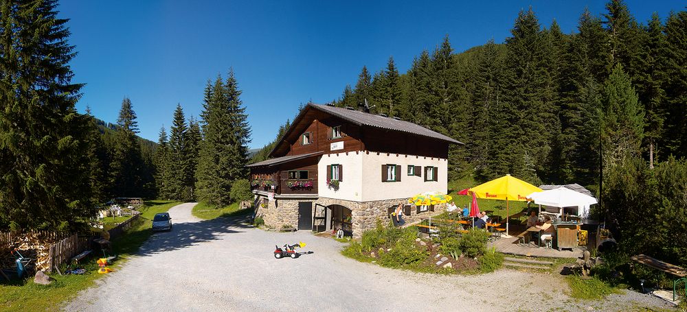
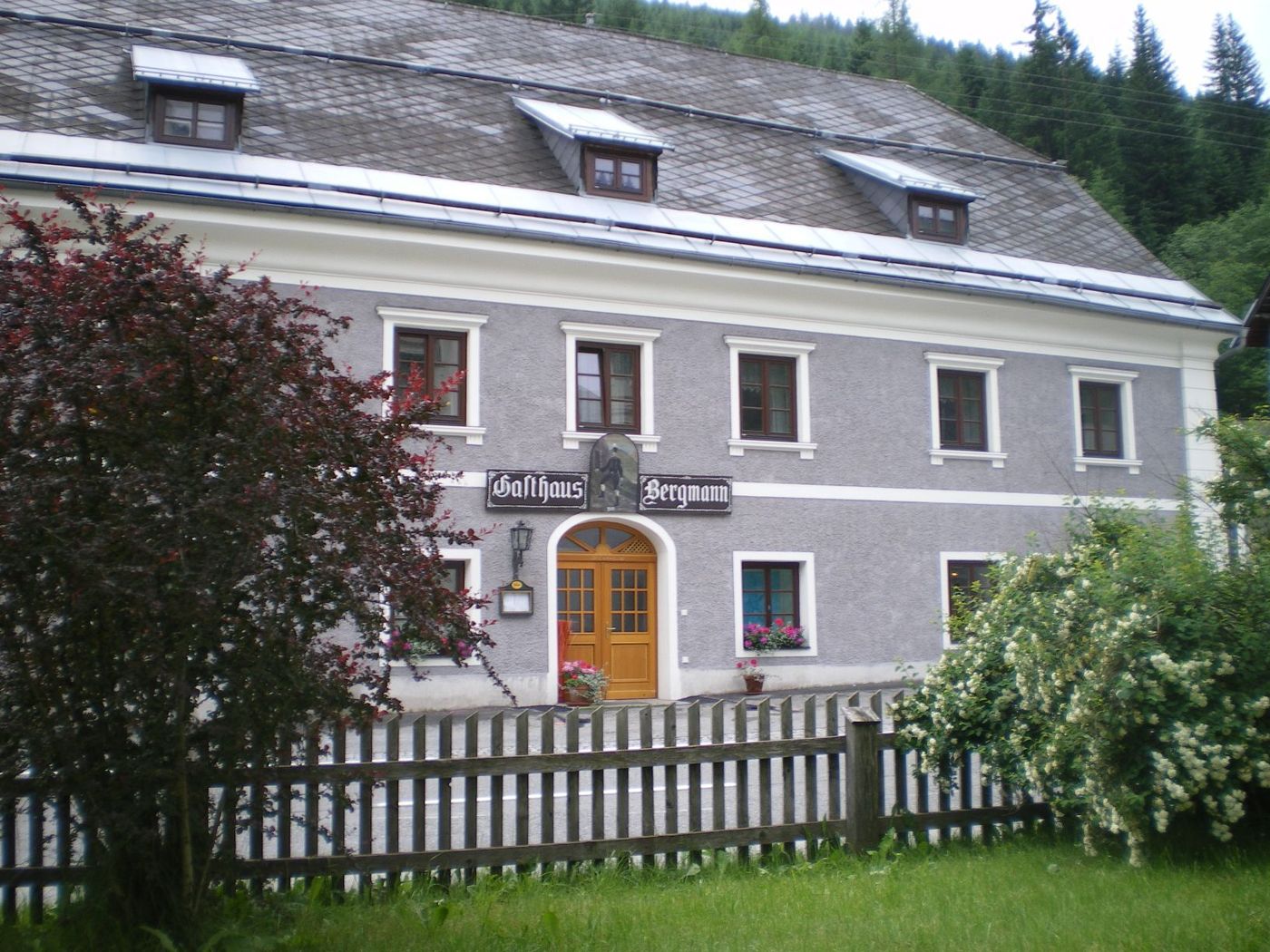
Wildbachhütte (0664-28 43 624) , Gasthof "Zum Bergmann" (03533-275 oder 0676-55 38 325)
- Cartine
-
Turracher Wanderkarte oder Kompass-Karte Nr. 66

- Fonte
- TV Turracher Höhe
GPS Downloads


Condizioni dei sentieri
Asfalto
Ghiaia
Prato
Foresta
Roccia
Esposta
Altri tour nelle regioni