Dati percorsi
3,74km
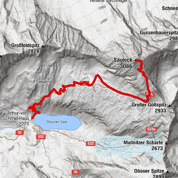
2.275
- 3.086m
811hm
04:30h
- Descrizione rapida
-
wunderschöne, abwechslungsreiche Wanderung
- Valutazione
-
- Punto di partenza
-
Arthur von Schmidhaus
- Percorso
-
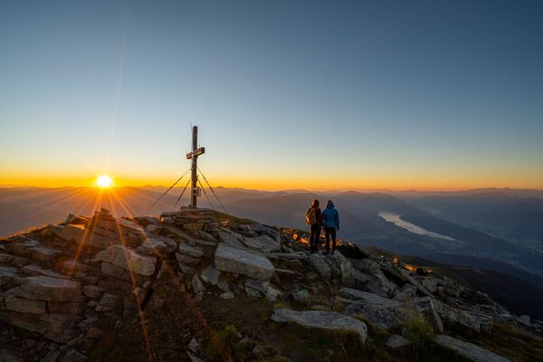
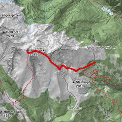
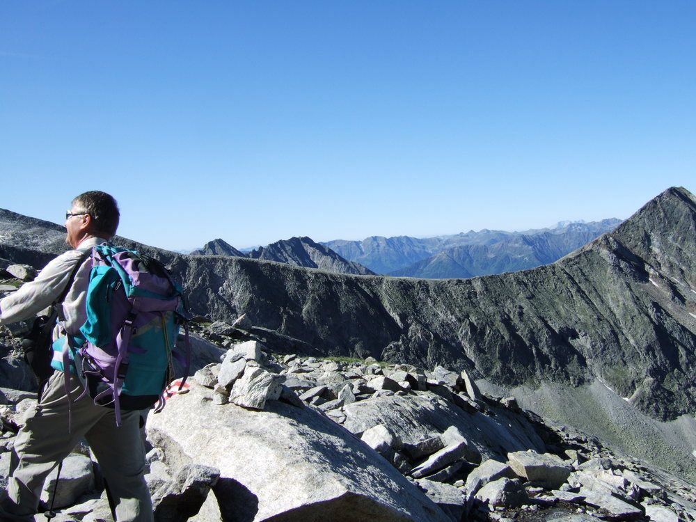
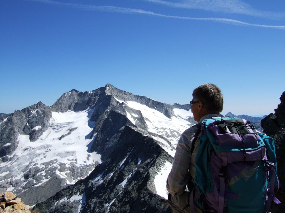
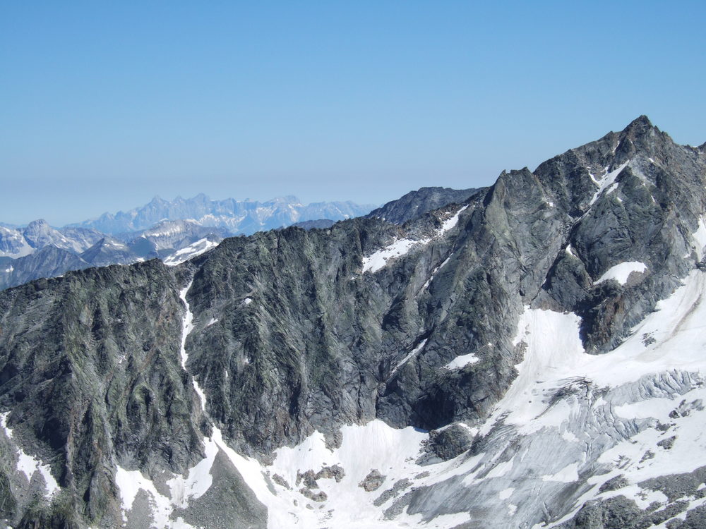
Säuleck (3.086 m)3,7 km
- Punto più alto
- 3.086 m
- Riposo/Ritiro
-
Arthur v. Schmidhaus
- Cartine
-
AV Karte Nr. 44, Hochalmspitze- Ankogel


GPS Downloads


Condizioni dei sentieri
Asfalto
Ghiaia
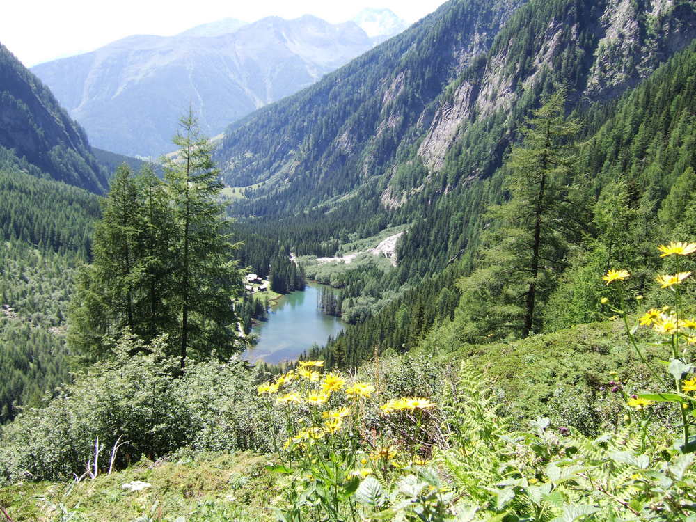
Prato
Foresta
Roccia
Esposta
Altri tour nelle regioni