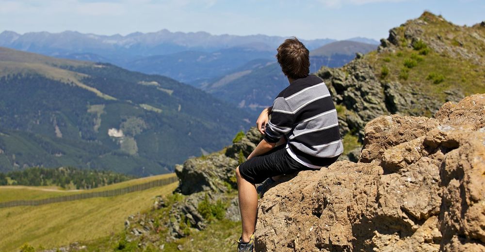
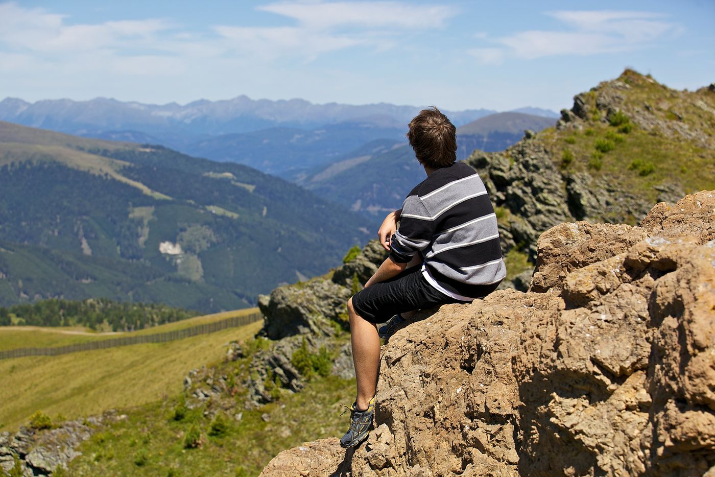
© www.turracherhoehe.at/martin steinthaler - Martin Steinthaler
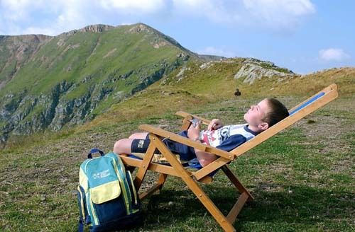
© www.turracherhoehe.at

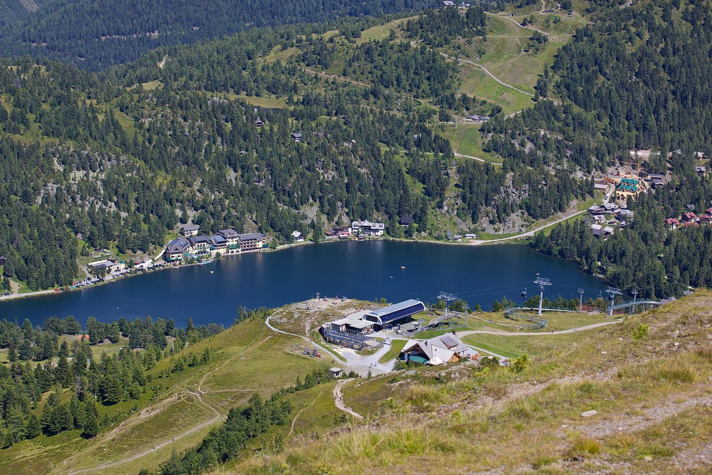
© www.turracherhoehe.at/martin steinthaler - Martin Steinthaler
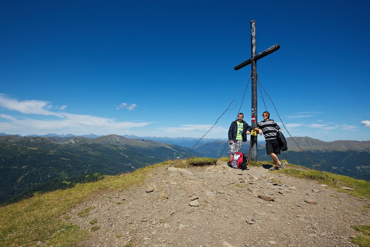
© www.turracherhoehe.at/martin steinthaler - Martin Steinthaler
© www.turracherhoehe.at/martin steinthaler - Martin Steinthaler
Dati percorsi
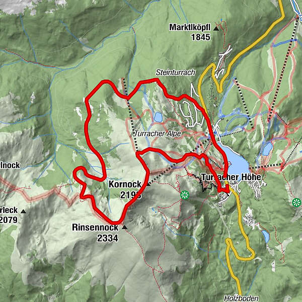
11,33km
1.778
- 2.294m
627hm
02:50h
- Descrizione rapida
-
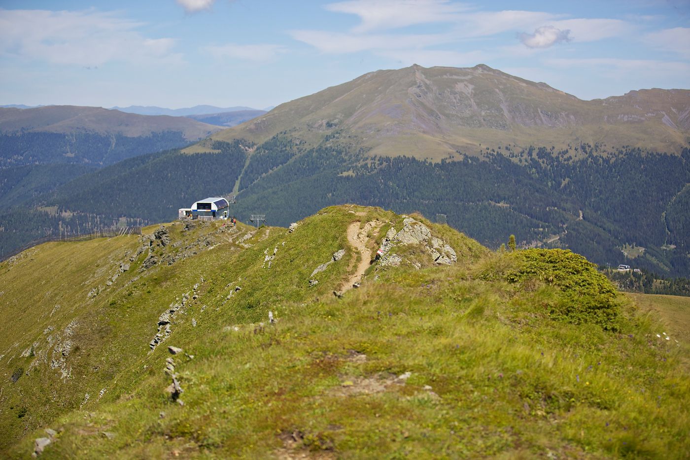
Der höchste Gipfel um die Turracher Höhe (mittel)
- Difficoltà
-
intermedio
- Valutazione
-
- Punto di partenza
-
Turracher See - Talstation Panoramabahn
- Percorso
-
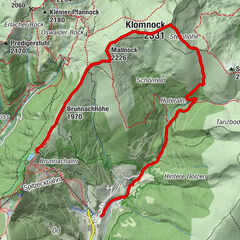
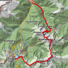
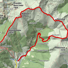
Hirschenkogel1,6 kmKornock (2.193 m)2,9 kmRinsennock (2.334 m)3,7 kmSteinturrach (1.941 m)9,0 kmK-Alm10,5 kmChristophorus Bergkirche11,1 km
- La stagione migliore
-
genfebmaraprmaggiulugagosetottnovdic
- Punto più alto
- 2.294 m
- Destinazione
-
Turracher See
- Cartine
-
Turracher Wanderkarte oder Kompass-Karte (Nr. 66)
- Fonte
- TV Turracher Höhe
GPS Downloads


Condizioni dei sentieri
Asfalto
Ghiaia
Prato
Foresta
Roccia
Esposta
Altri tour nelle regioni