Rund-Wanderung Aineck - Teuerlnock - Bonner Hütte - Branntweiner/Kößlbacheralm - Aineck

Escursionismo


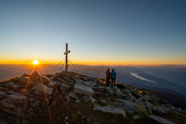
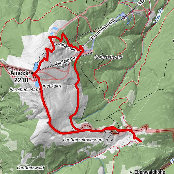
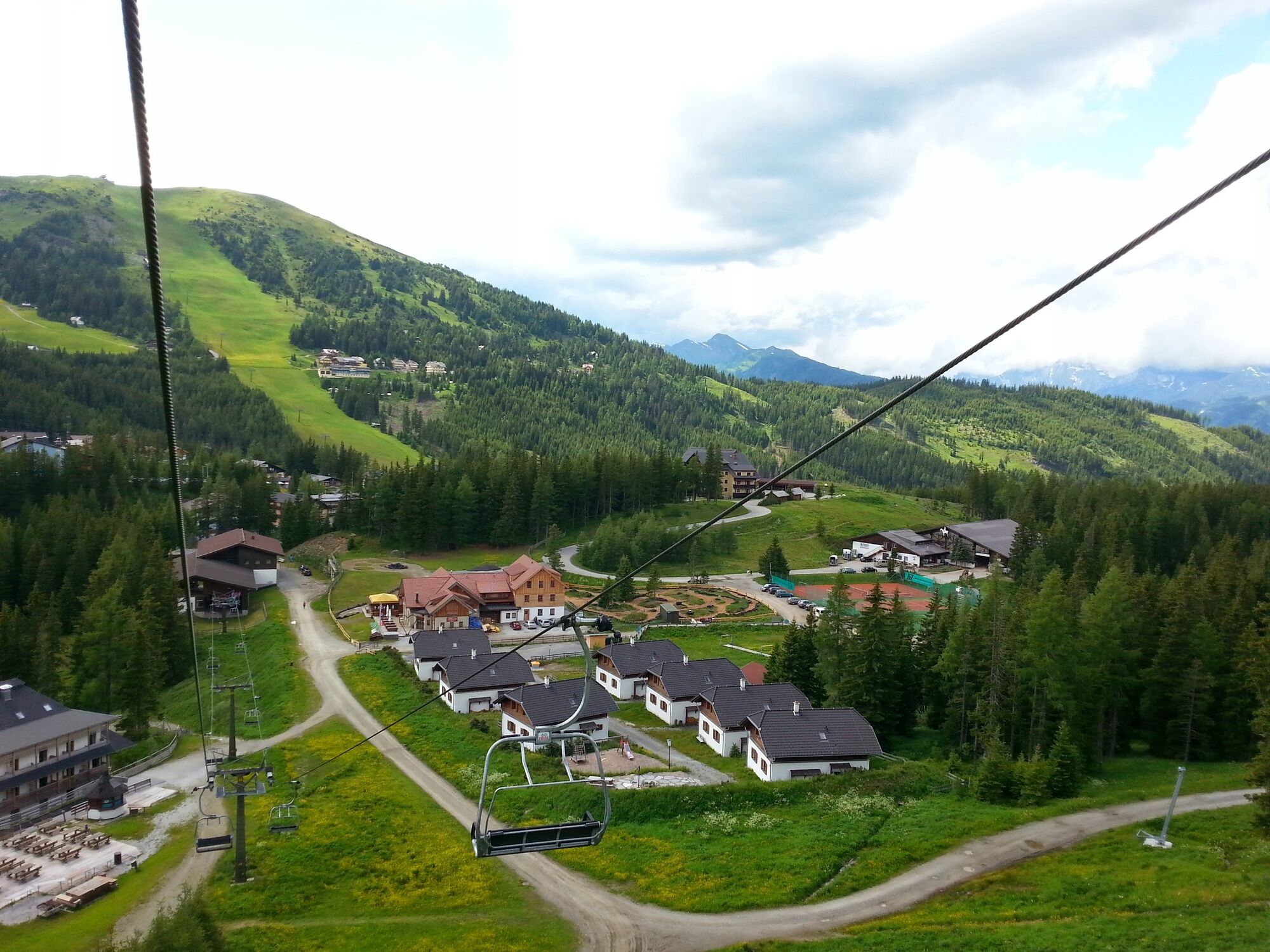
© Region Katschberg Lieser-Maltatal - Sigi Peitler

© Region Katschberg Lieser-Maltatal - Sigi Peitler

© Region Katschberg Lieser-Maltatal - Sigi Peitler

© Region Katschberg Lieser-Maltatal - Sigi Peitler

- Descrizione rapida
-
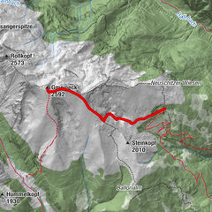
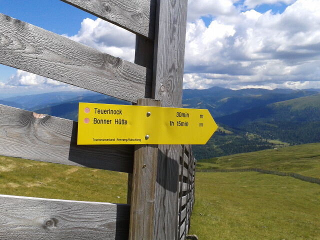
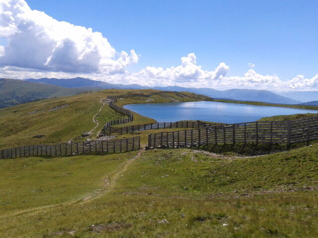
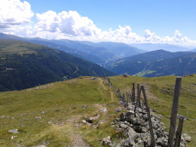
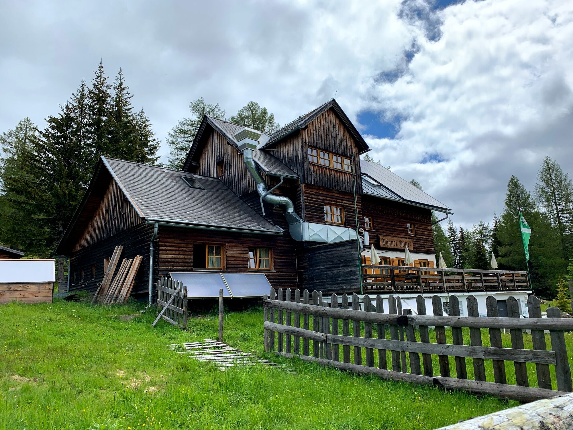
Weg Nr. 111 - Wanderung von der Bergstation Aineck (oder Talstation Aineck),über das Teuerlnock weiter bis zur Bonner Hütte, weiter zu Branntweineralm und Kößlbachlbacheralm und wieder retour zur Bergstation der Aineckbahn.
- Difficoltà
-
facile
- Valutazione
-
- Percorso
-
Adlerhorst0,0 kmAineck (2.210 m)0,1 kmTeuerlnock (2.145 m)1,4 kmNeue Bonner Hütte4,9 kmLaußnitzhöhe (1.695 m)5,5 kmKößelbacher Alm9,9 kmBranntweineralm10,0 kmAineck (2.210 m)13,6 kmAdlerhorst13,7 km
- La stagione migliore
-
genfebmaraprmaggiulugagosetottnovdic
- Punto più alto
- 2.207 m
- Profilo altimetrico
-

- Autore
-
Il tour Rund-Wanderung Aineck - Teuerlnock - Bonner Hütte - Branntweiner/Kößlbacheralm - Aineck è utilizzato da outdooractive.com fornito.
GPS Downloads


Info generali
Punto di ristoro
Promettente
Altri tour nelle regioni