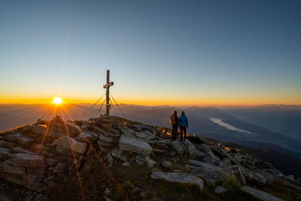
Gmeineck, 8. September 2018, Lendorf, Österreich

Escursionismo
Dati percorsi
9,14km
1.378
- 2.571m
2.326hm
2.326hm
03:51h
- Difficoltà
-
intermedio
- Valutazione
-
- Punto di partenza
-
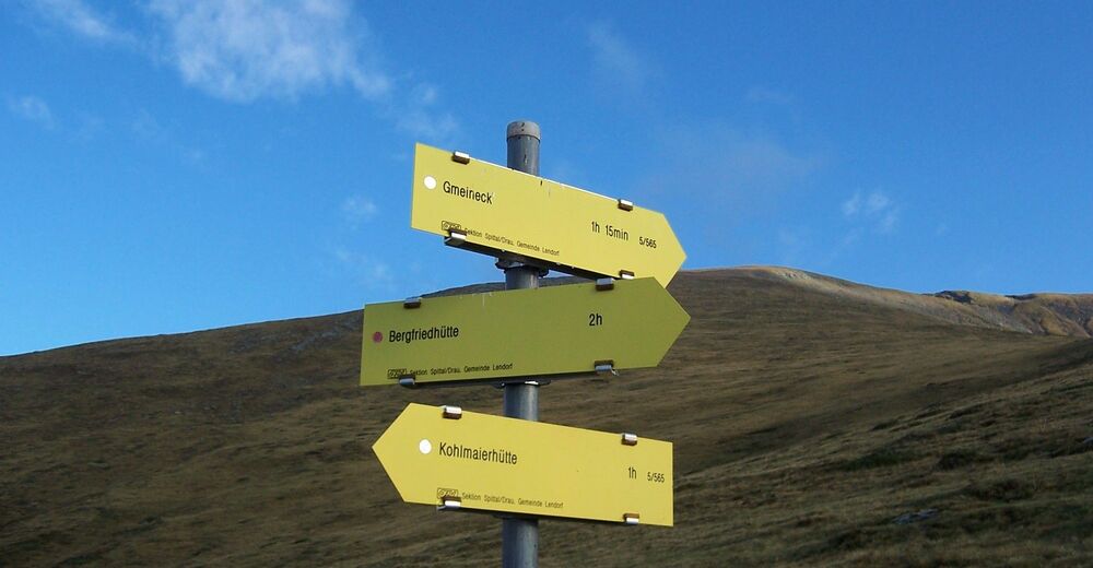
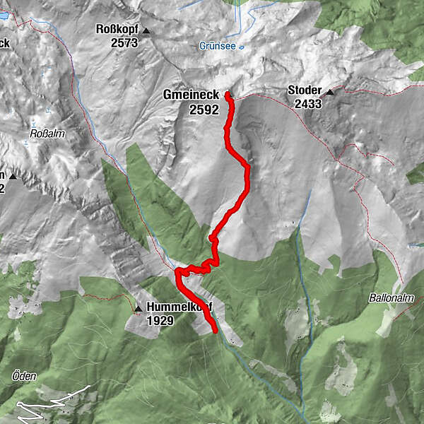
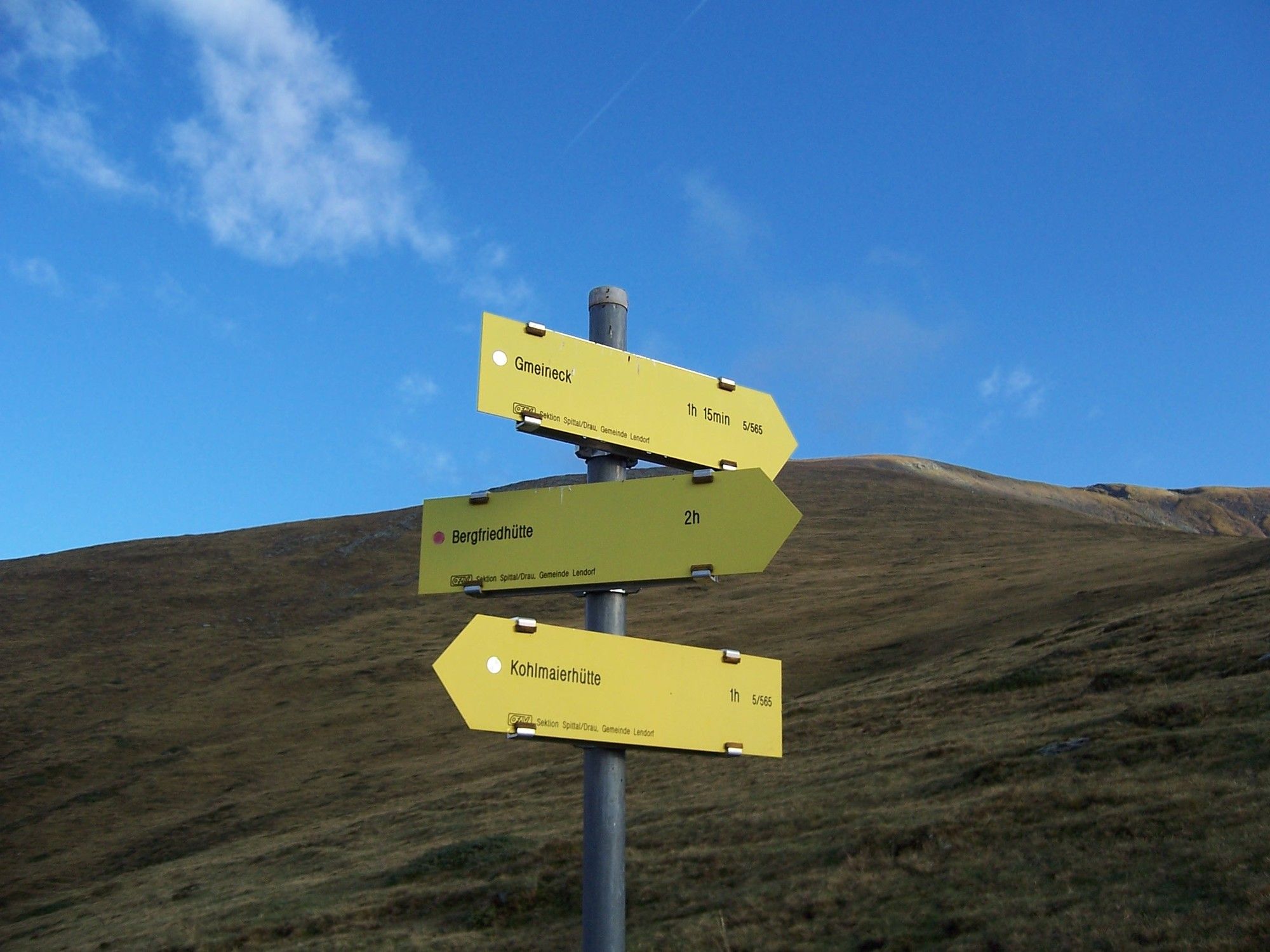
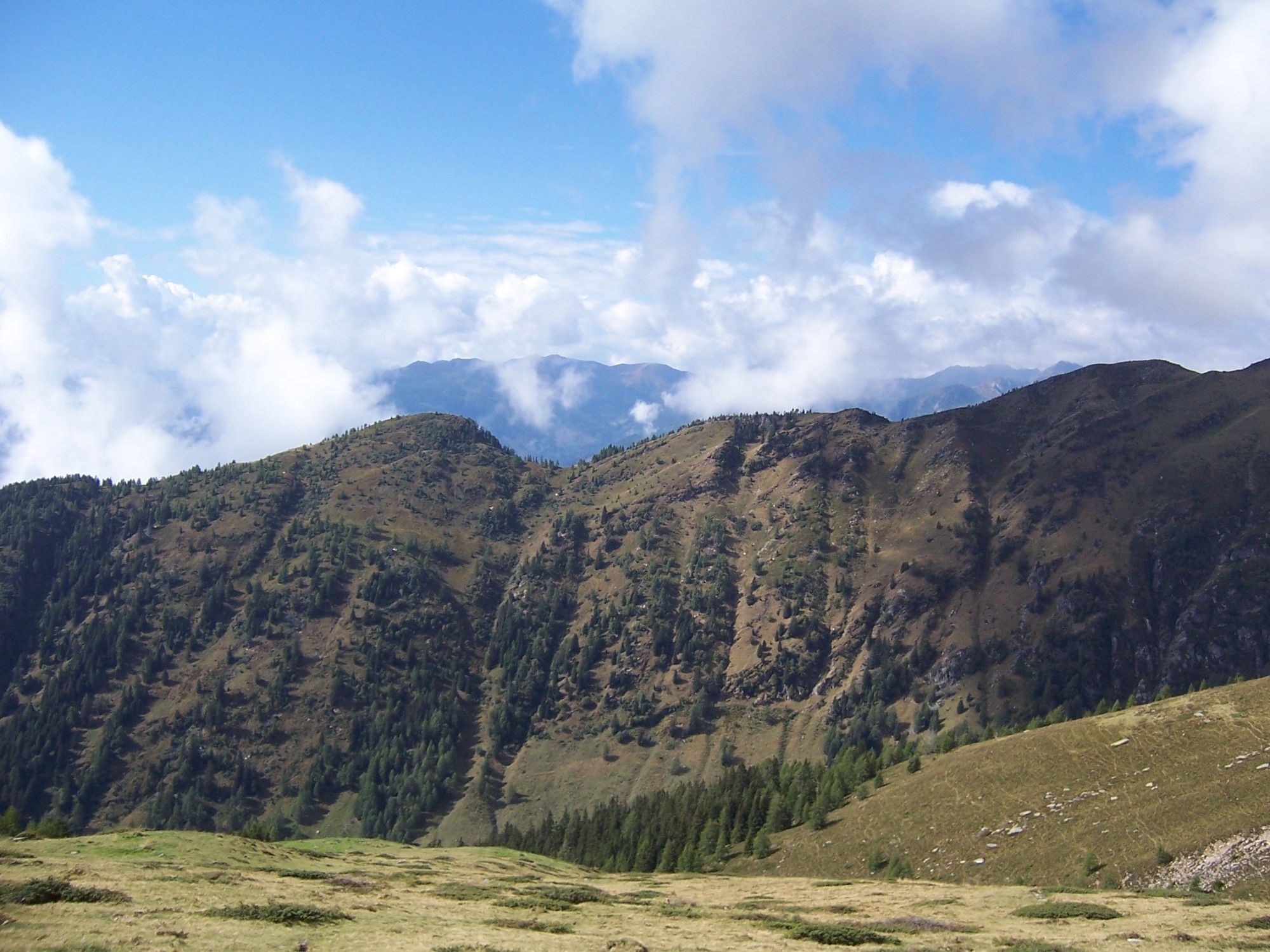
Parkplatz (ca. 1 km vor der Kohlmaierhütte)
- Percorso
-
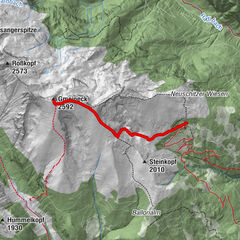
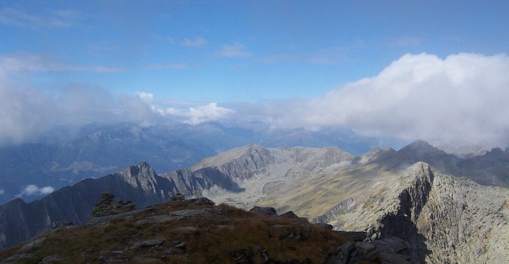
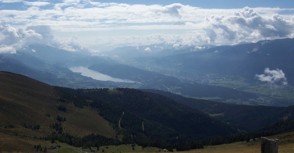
Kohlmaier Hütte1,2 kmGmeineck (2.592 m)4,5 kmKohlmaier Hütte8,0 km
- La stagione migliore
-
genfebmaraprmaggiulugagosetottnovdic
- Punto più alto
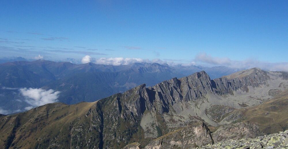
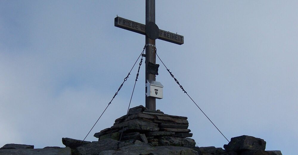
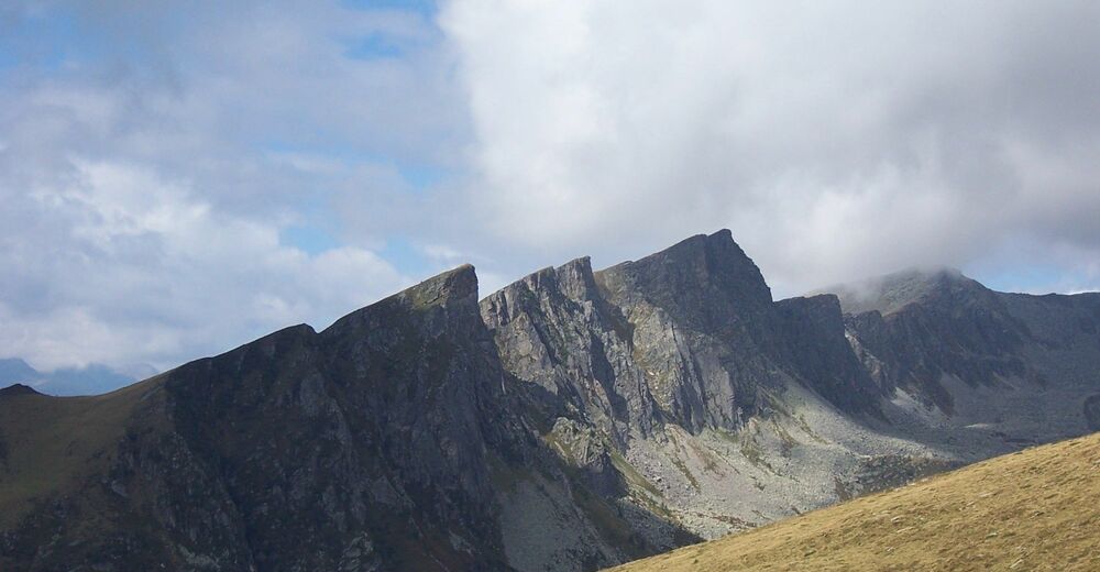
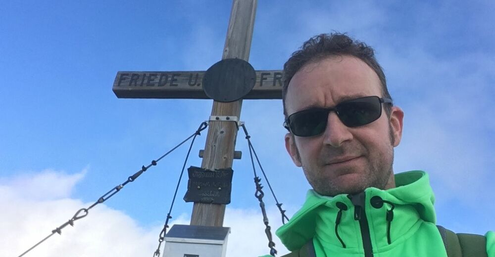
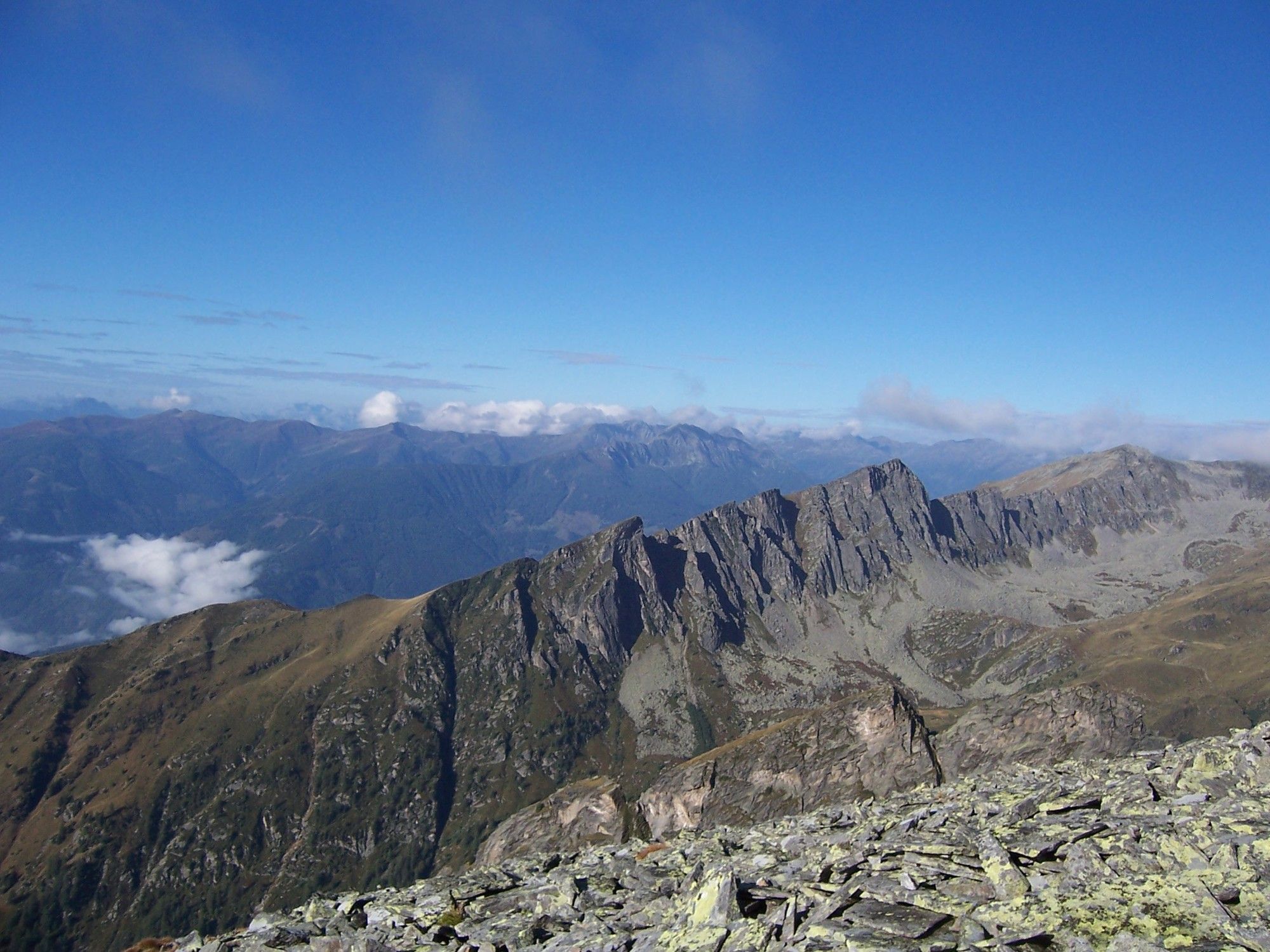
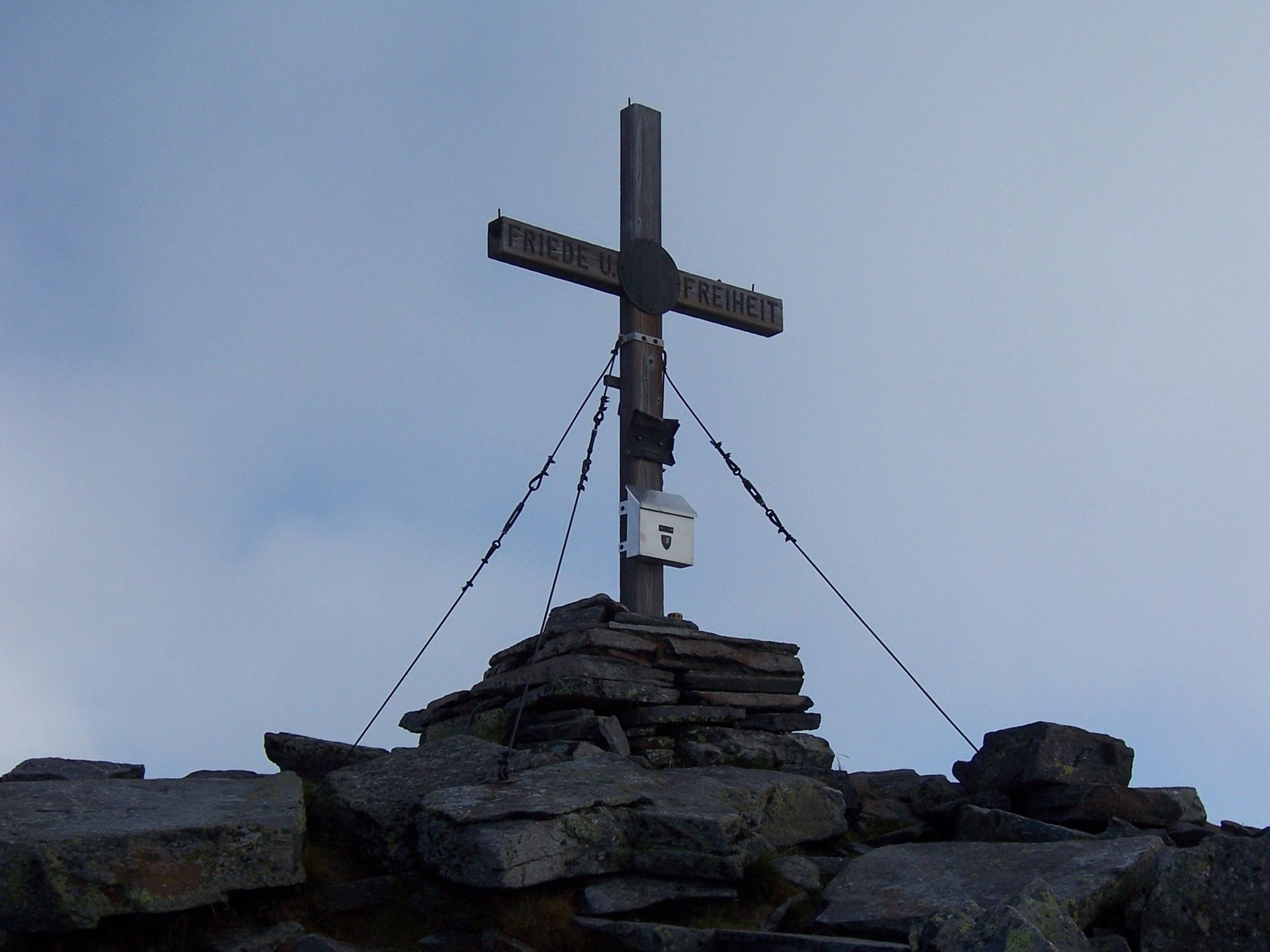
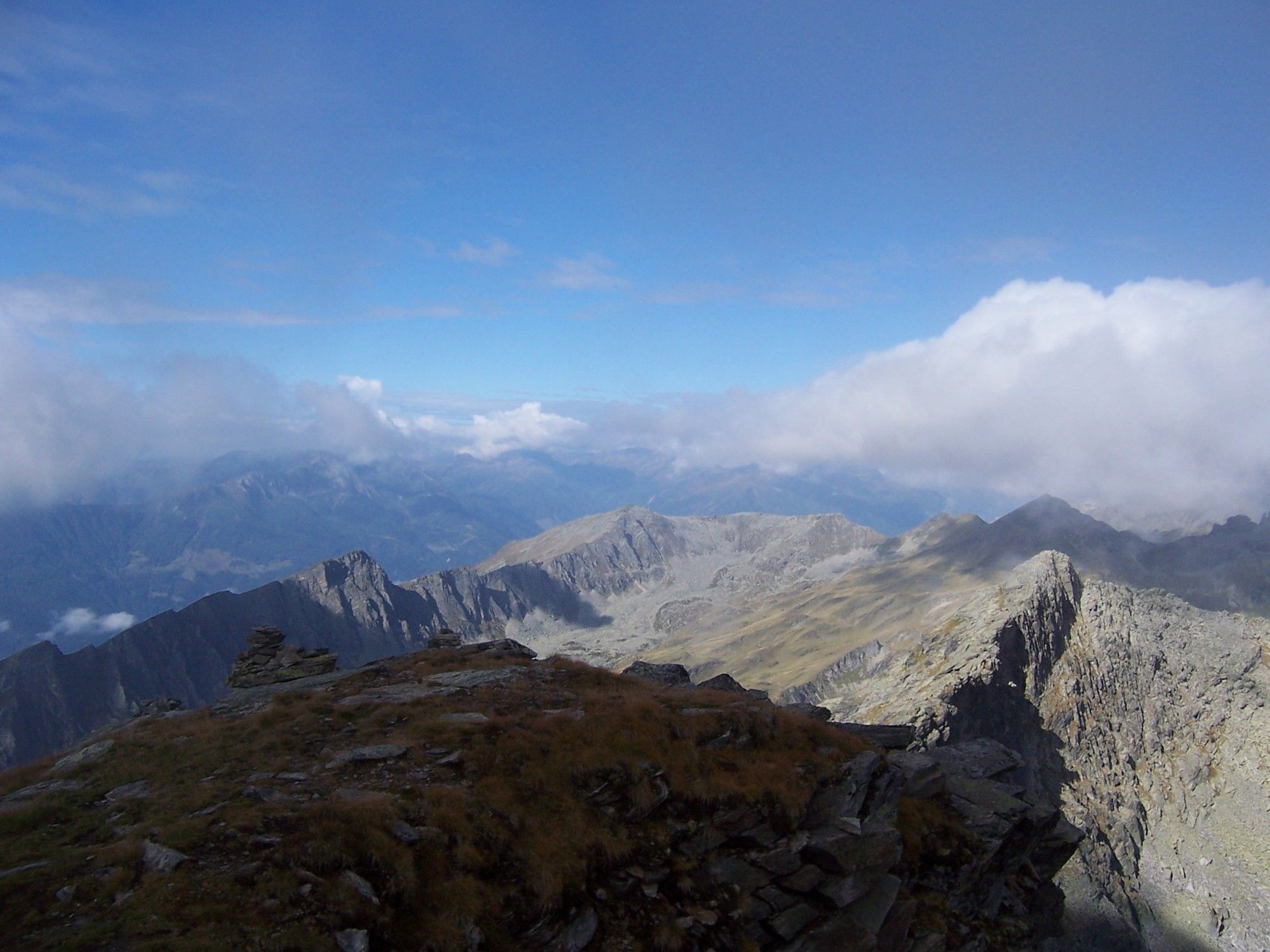
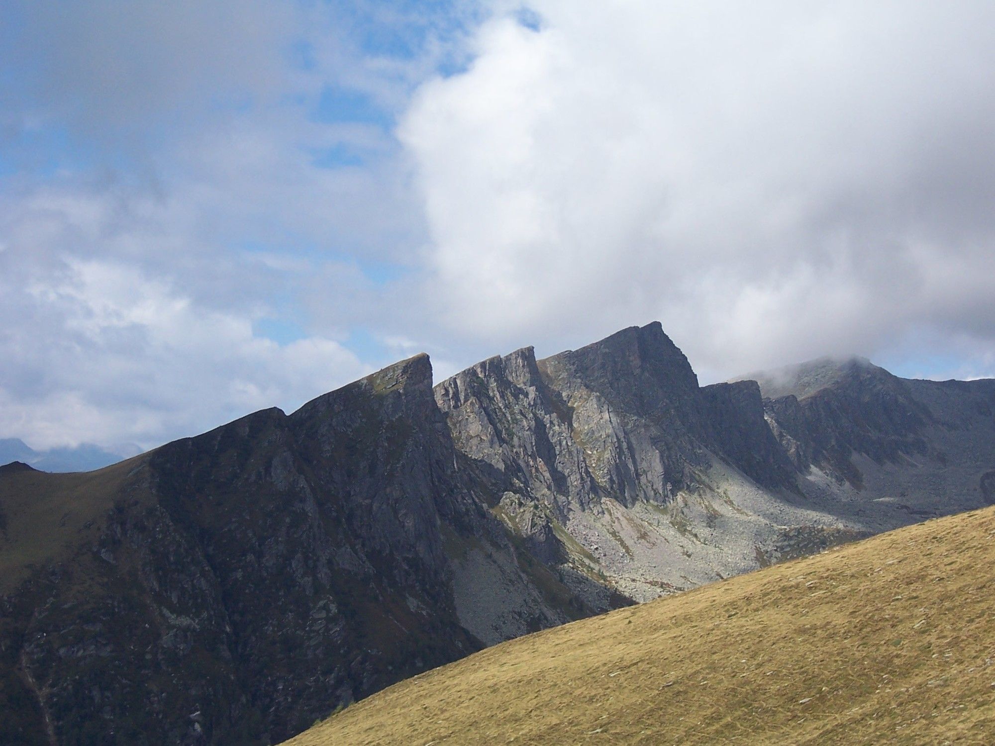
- Gmeineck (Gipfel) (2.571 m)
- Destinazione
-
Gmeineck (Gipfel)
- Riposo/Ritiro
-
Kohlmaierhütte


GPS Downloads


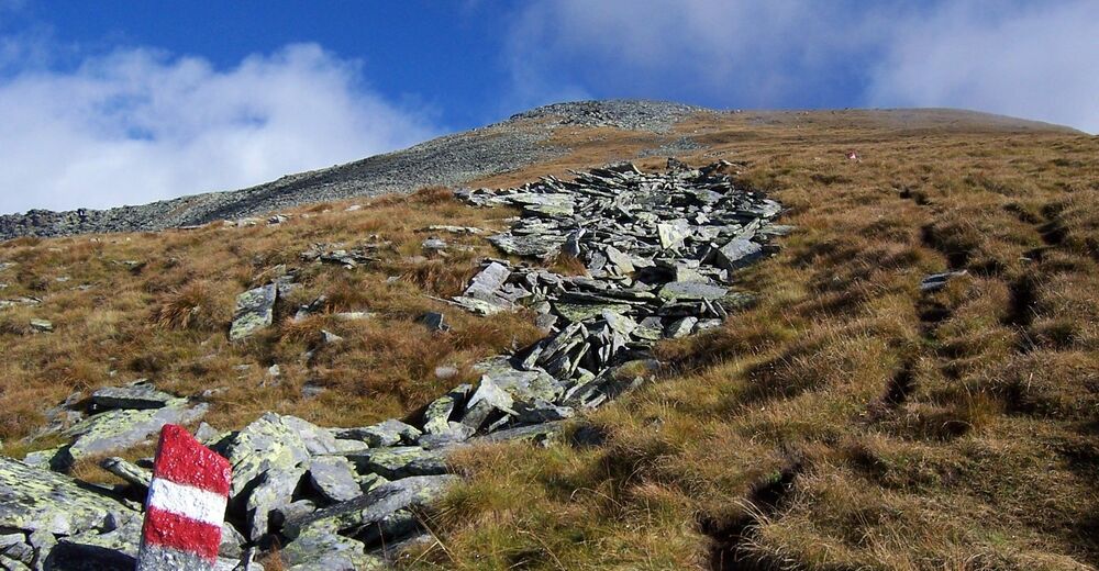
Condizioni dei sentieri
Asfalto
Ghiaia
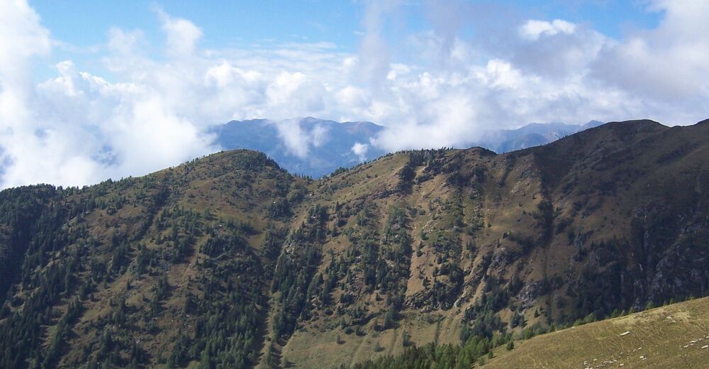
Prato
Foresta
Roccia
Esposta
Altri tour nelle regioni
-
Katschberg Lieser-Maltatal
2574
-
Millstätter See
1052
-
Lendorf
201