

© Wörthersee Tourismus/Assam - Assam
© Region Wörthersee-Rosental Tourismus GmbH - Andreas Irnstorfer

© Region Wörthersee-Rosental Tourismus GmbH - Andreas Irnstorfer

© Region Wörthersee-Rosental Tourismus GmbH - Andreas Irnstorfer

© Region Wörthersee-Rosental Tourismus GmbH - Andreas Irnstorfer

© Region Wörthersee-Rosental Tourismus GmbH - Andreas Irnstorfer

© Region Wörthersee-Rosental Tourismus GmbH - Andreas Irnstorfer

© Region Wörthersee-Rosental Tourismus GmbH - Andreas Irnstorfer

© Region Wörthersee-Rosental Tourismus GmbH - Andreas Irnstorfer

© Region Wörthersee-Rosental Tourismus GmbH - Andreas Irnstorfer

- Descrizione rapida
-
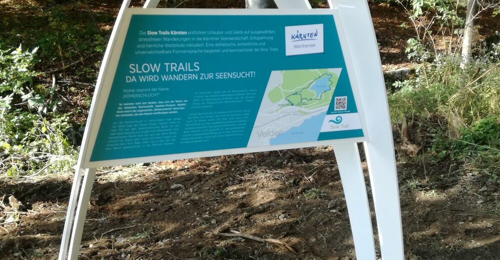
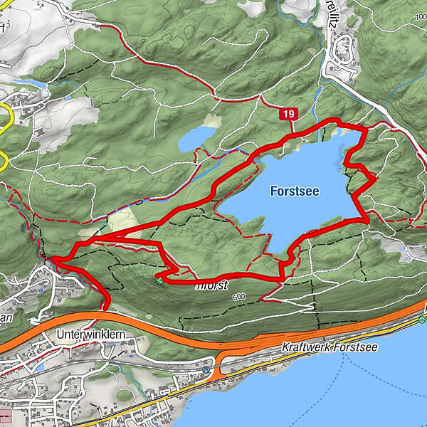
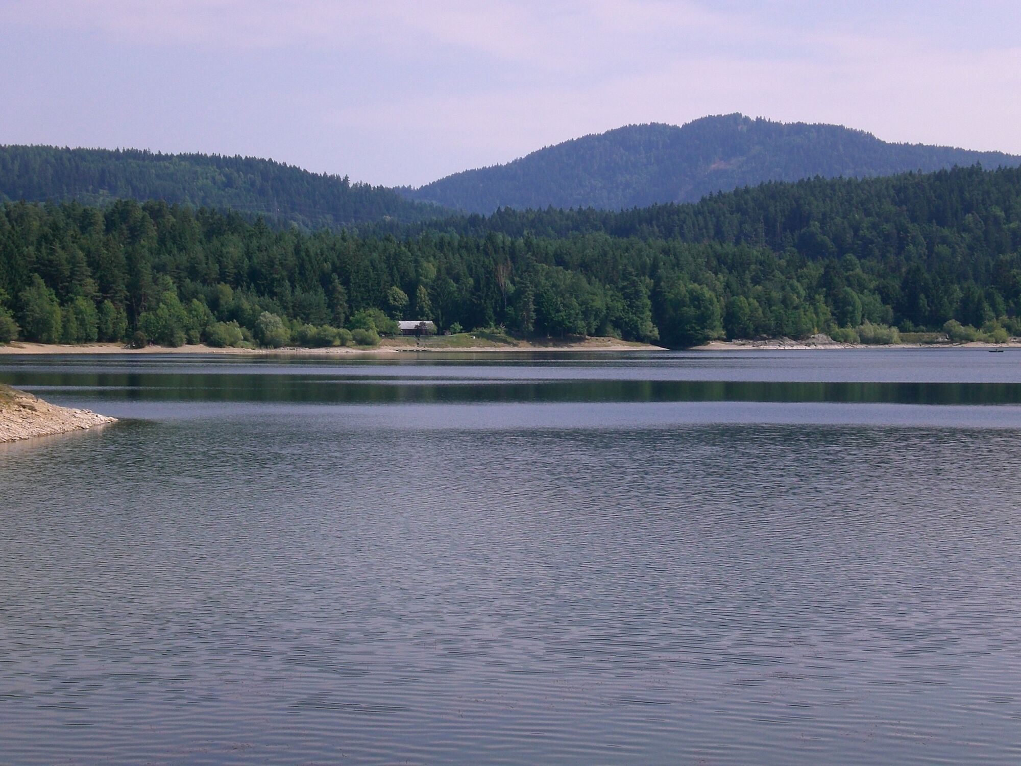
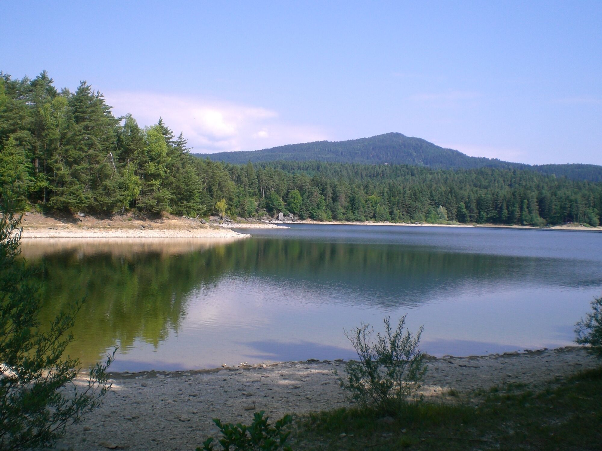
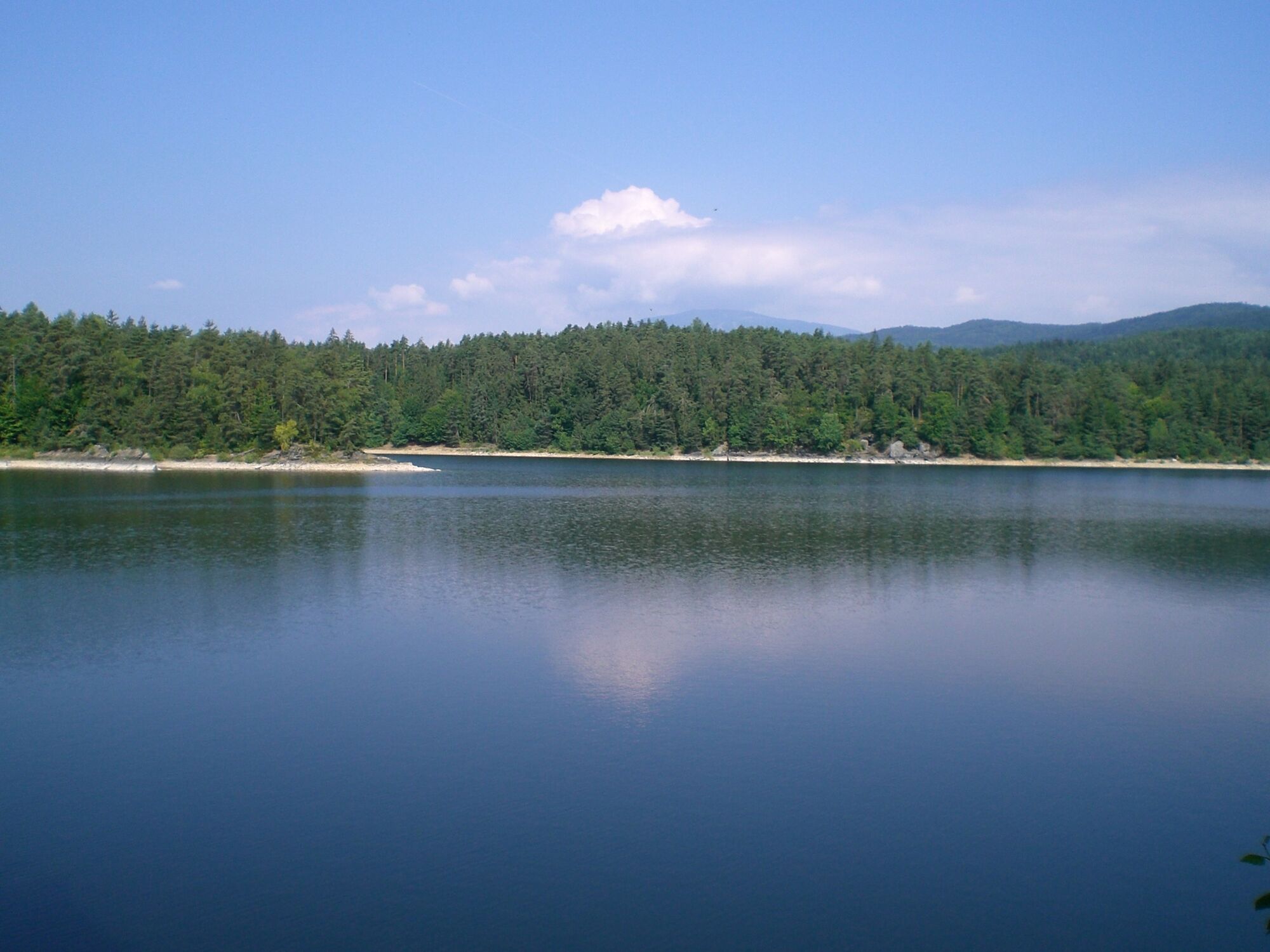
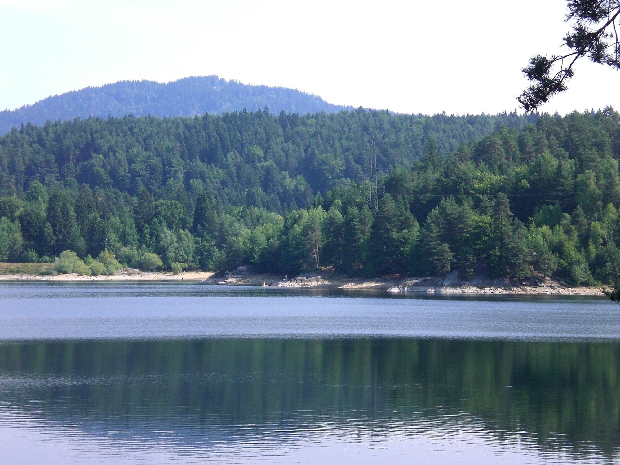
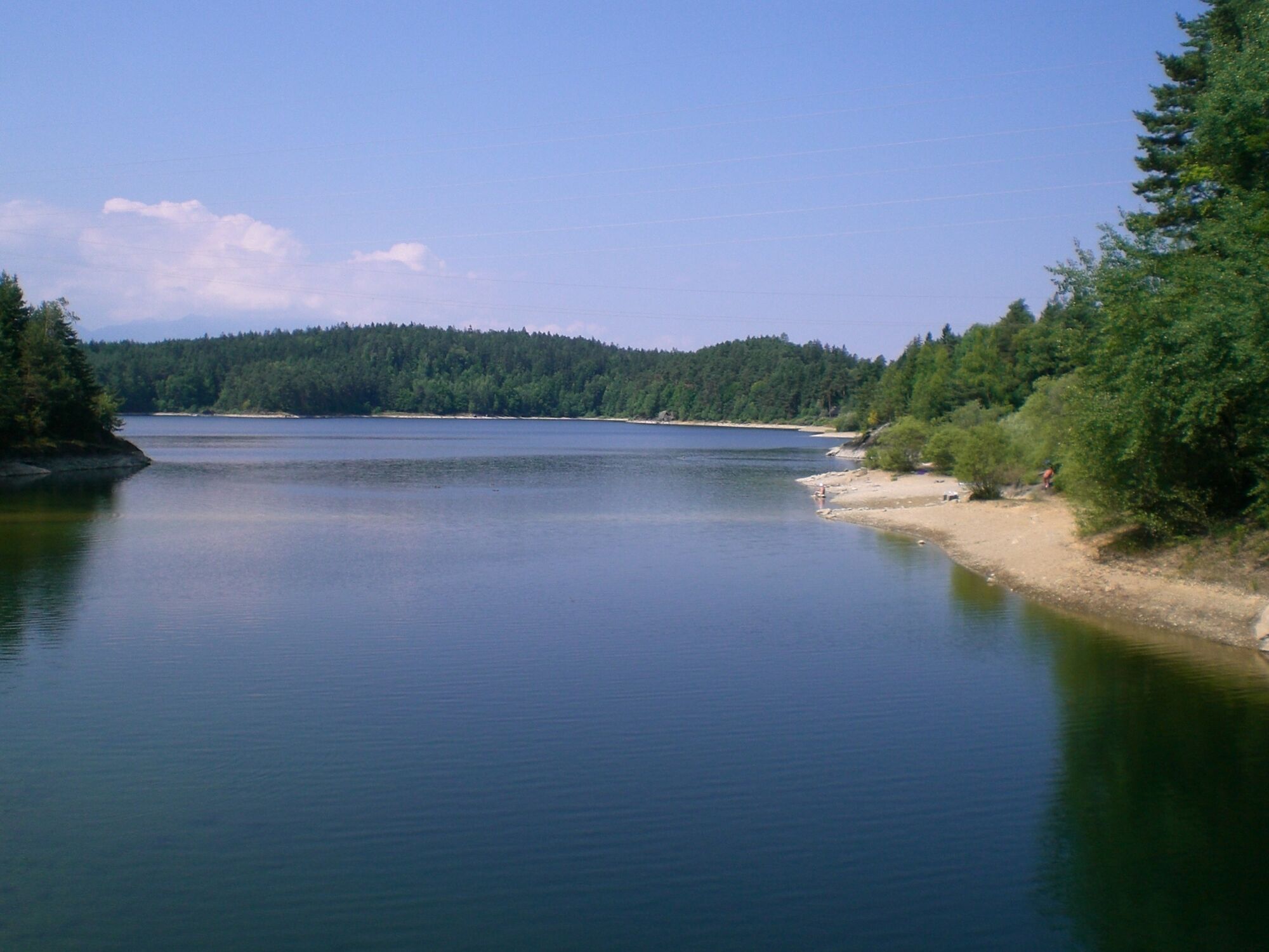
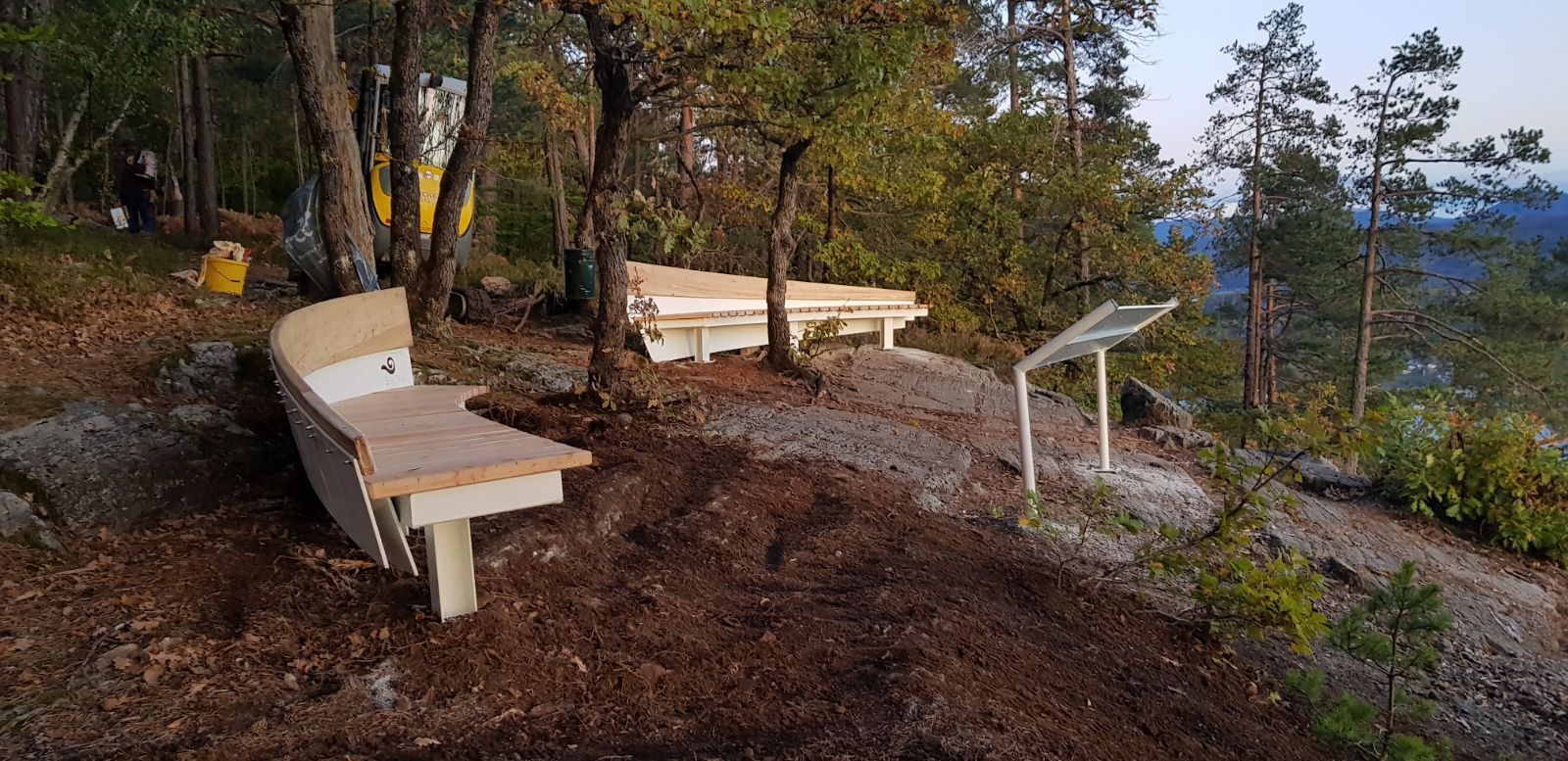
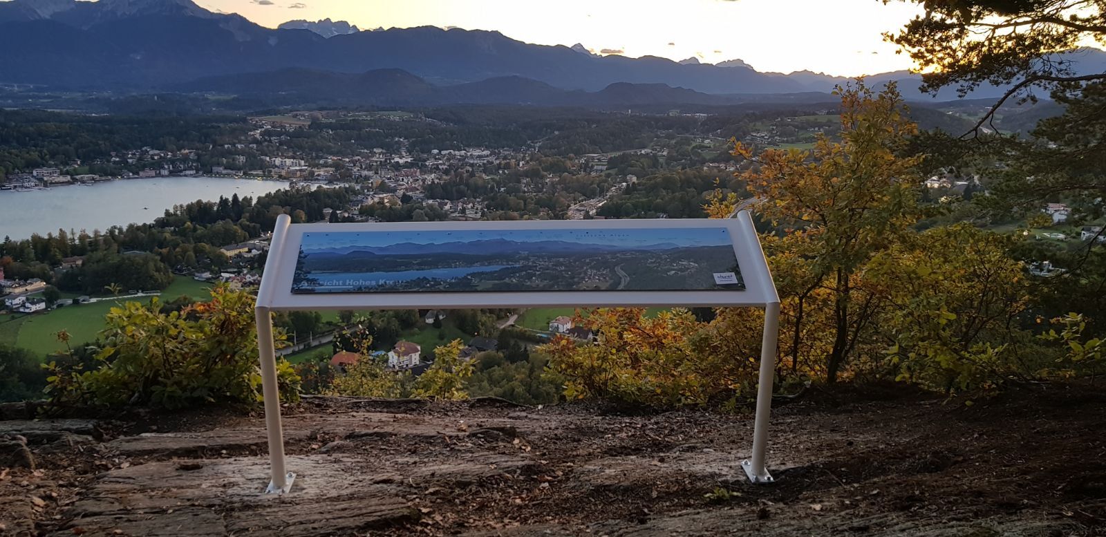
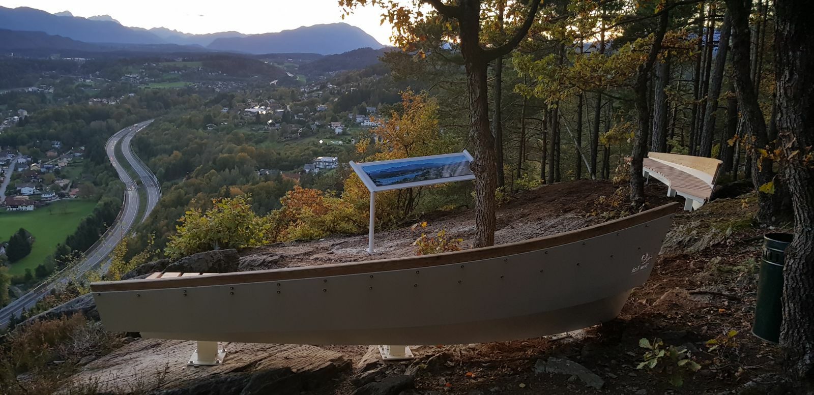
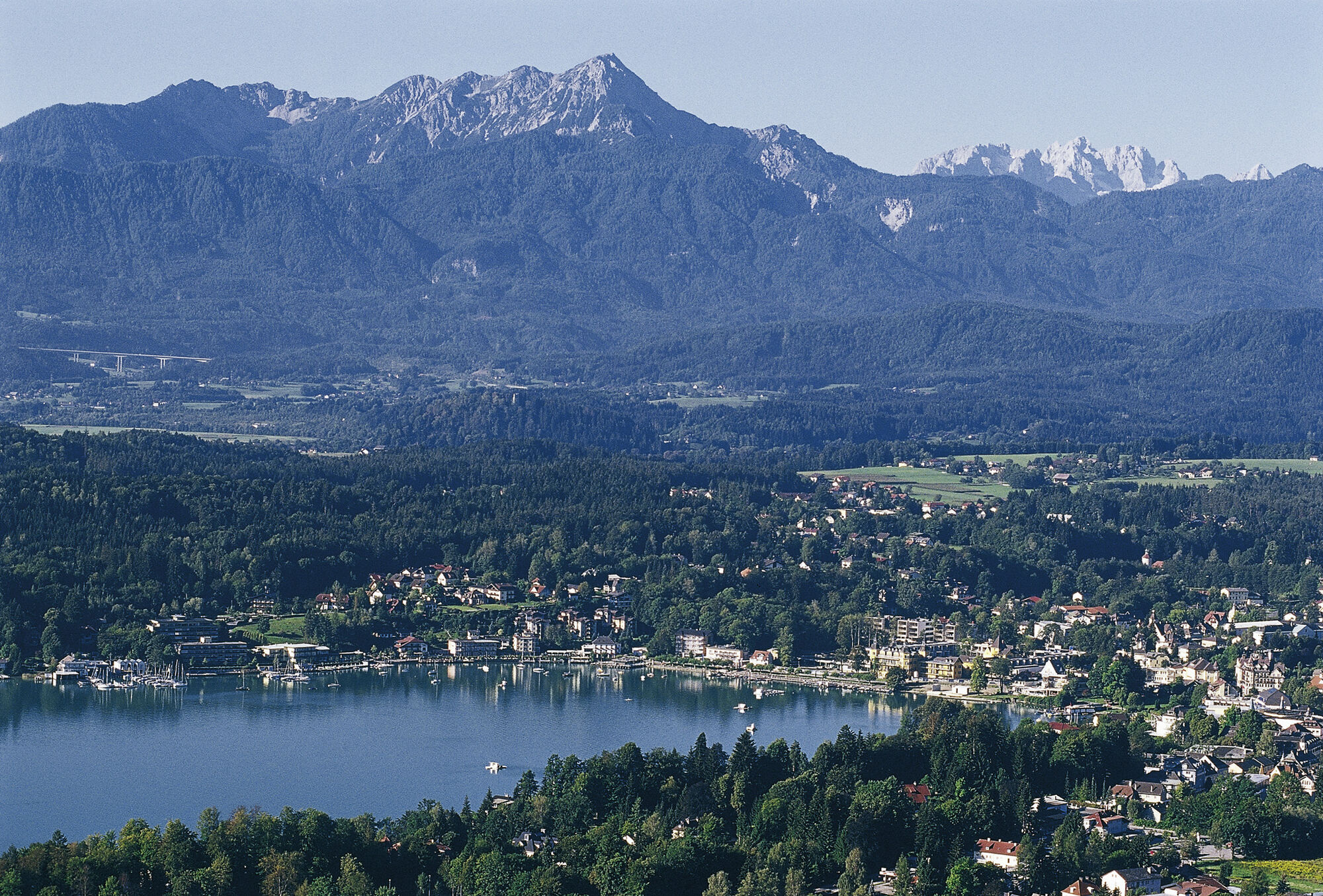
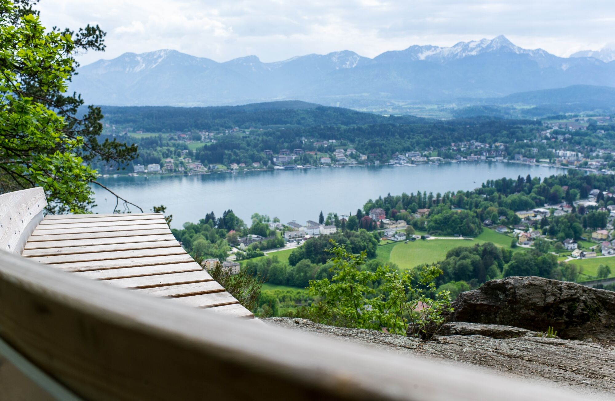
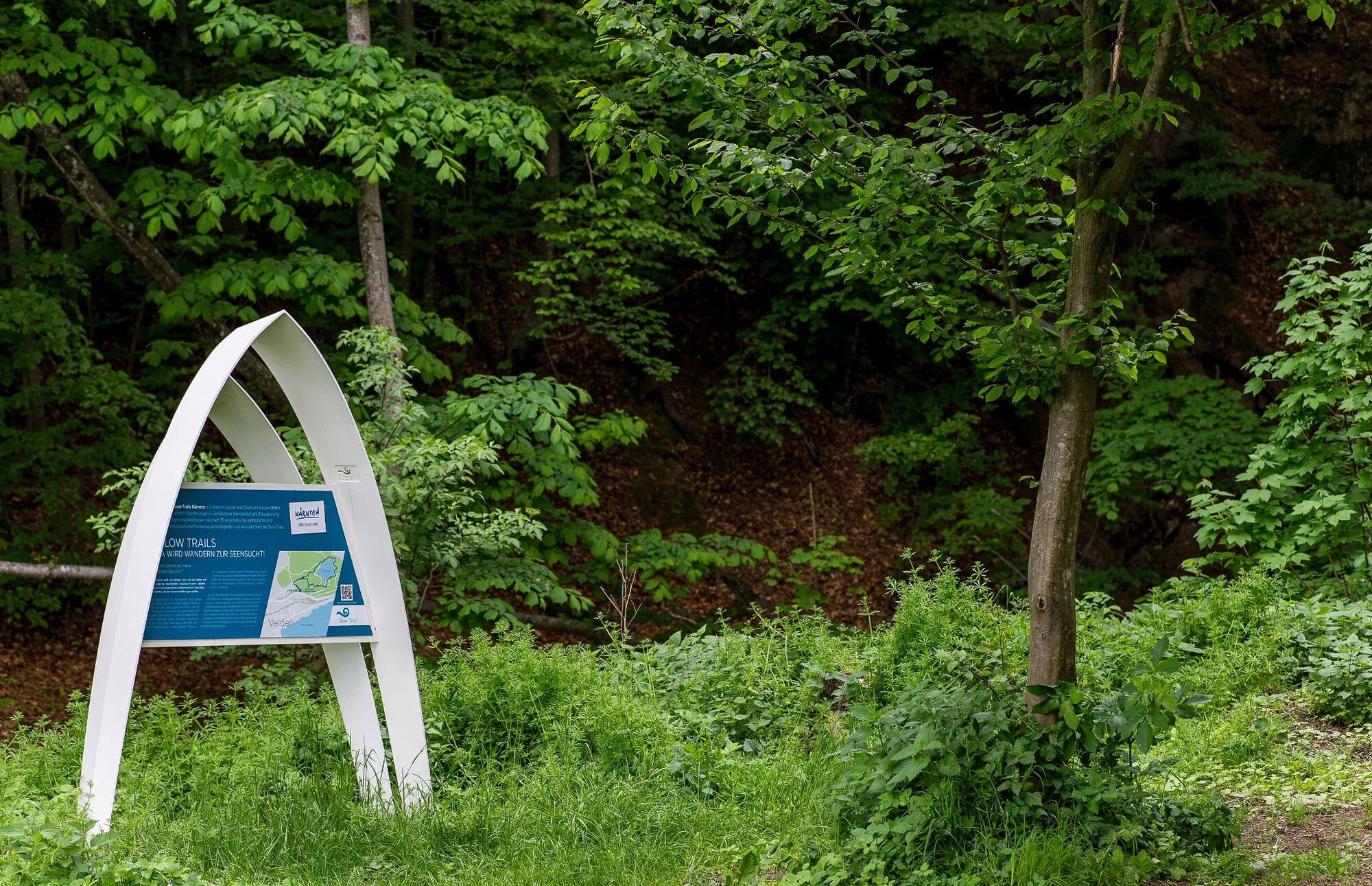
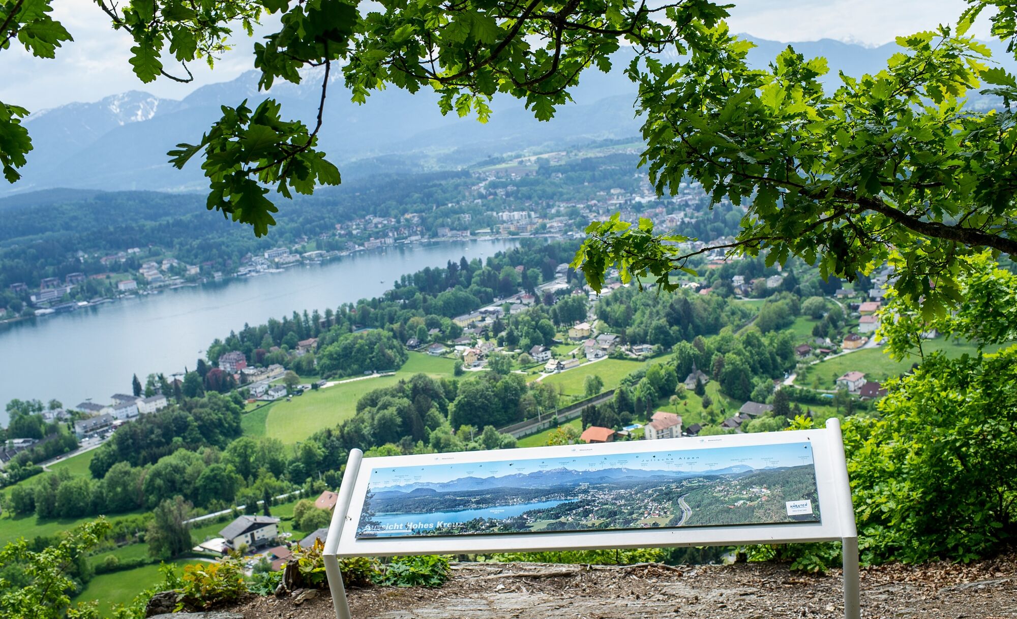
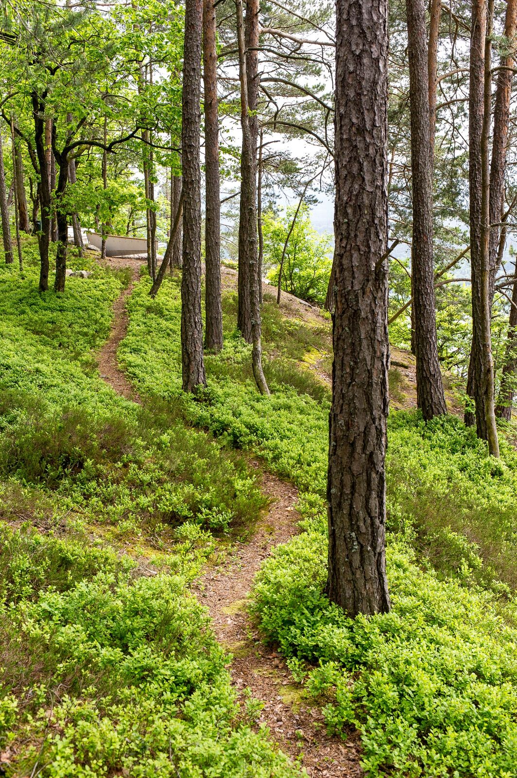
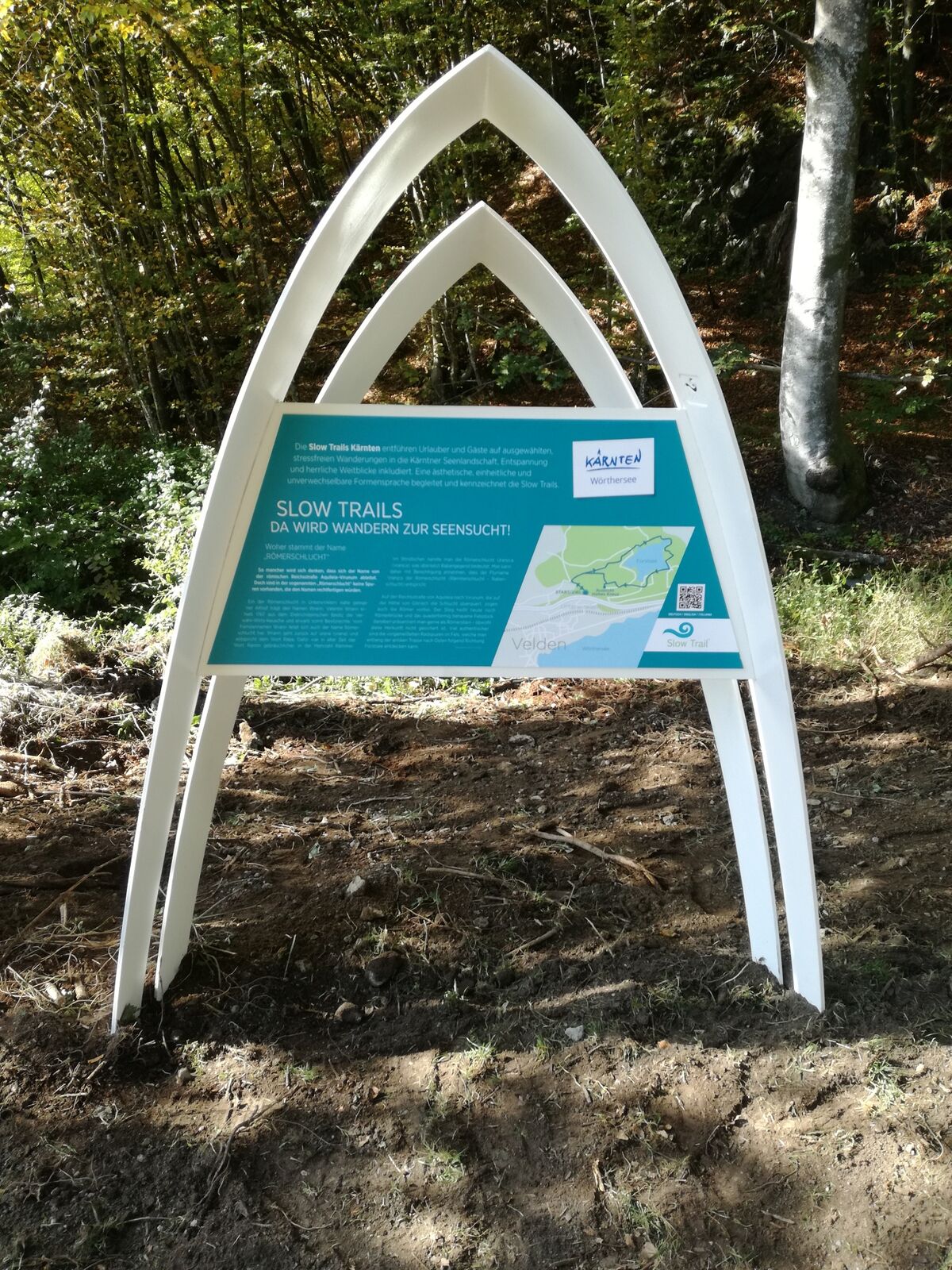
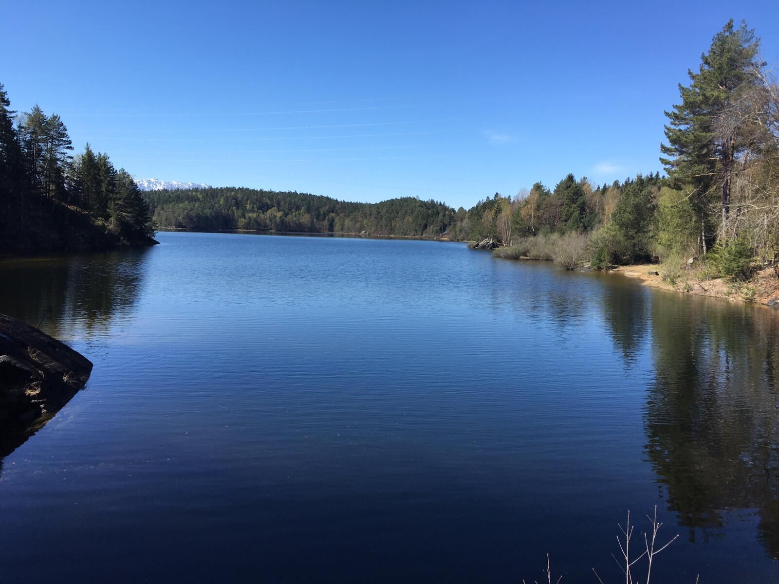
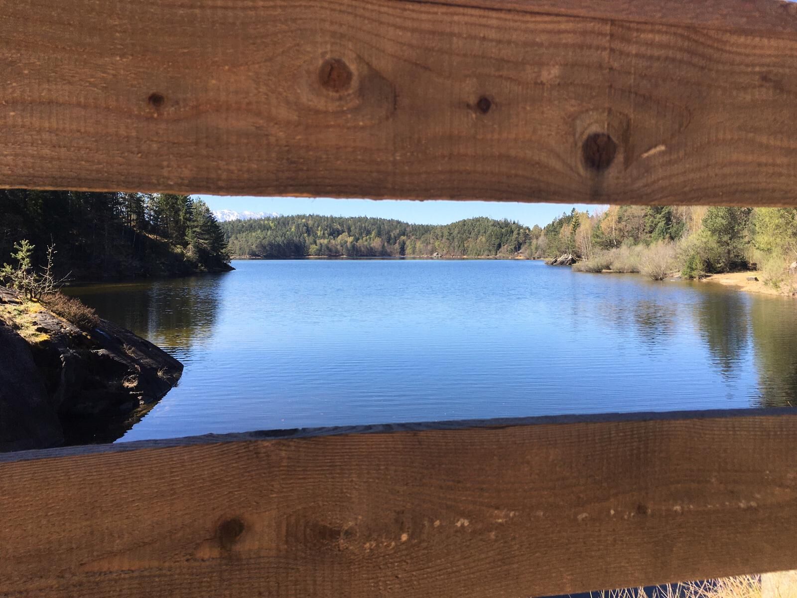
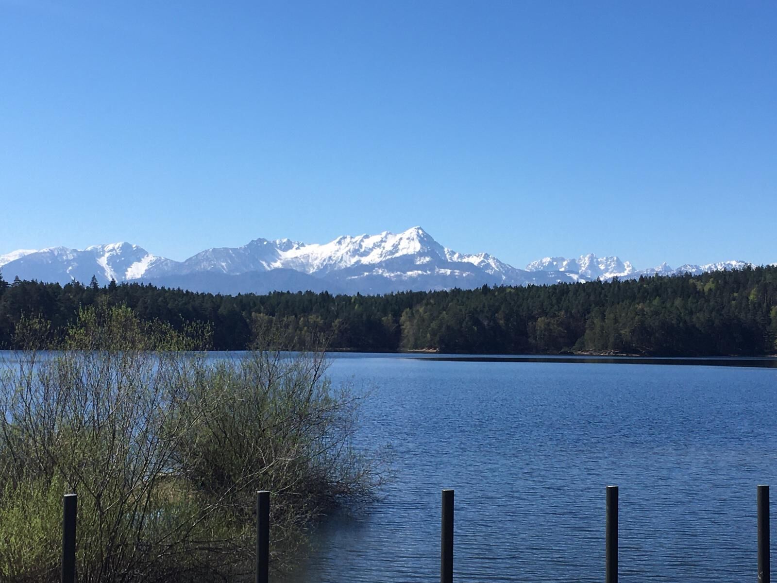
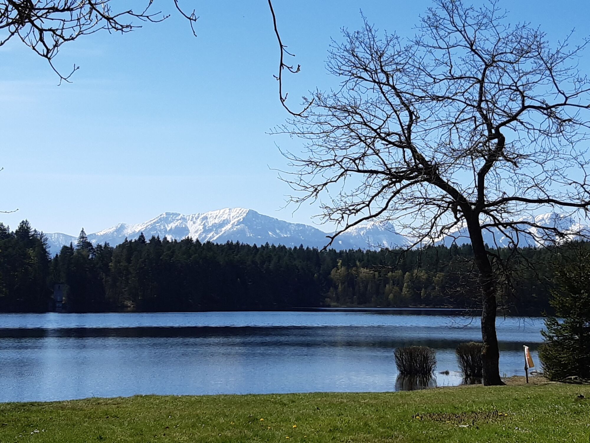
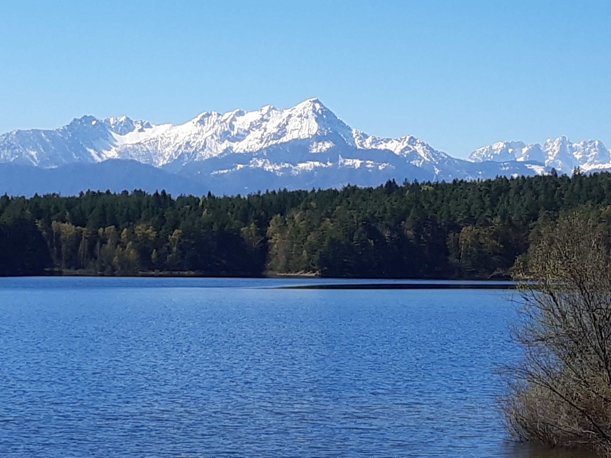
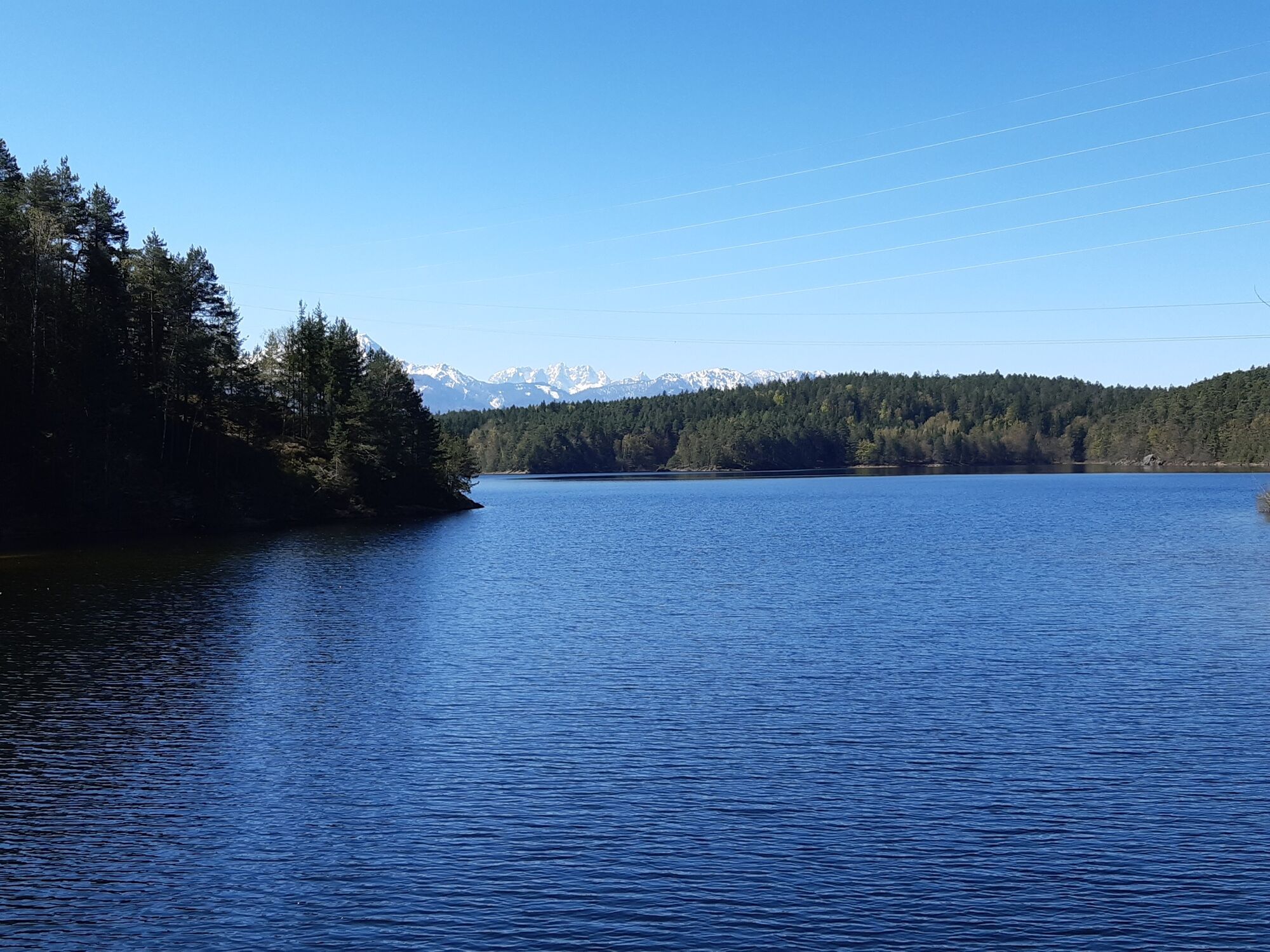
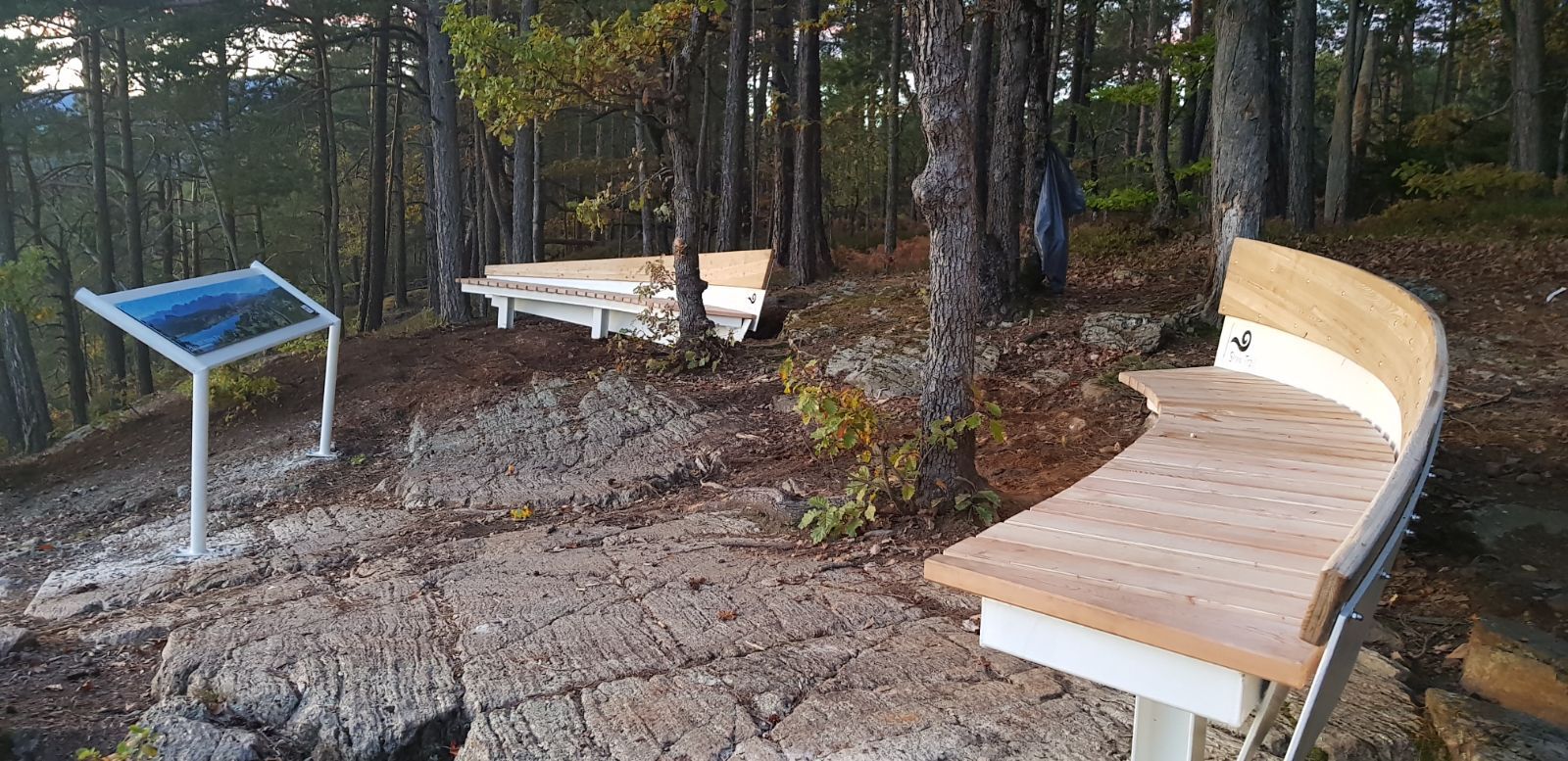
The Slow Trails Carinthia take holidaymakers and guests on selected, stress-free hikes in the Carinthian lake landscape, including relaxation and magnificent views. An aesthetic, uniform and unmistakable design language accompanies and characterises the Slow Trails.
- Difficoltà
-
intermedio
- Valutazione
-
- Percorso
-
VeldenRömerschlucht0,1 kmRömerschlucht6,5 kmVelden6,8 km
- La stagione migliore
-
genfebmaraprmaggiulugagosetottnovdic
- Punto più alto
- 655 m
- Destinazione
-
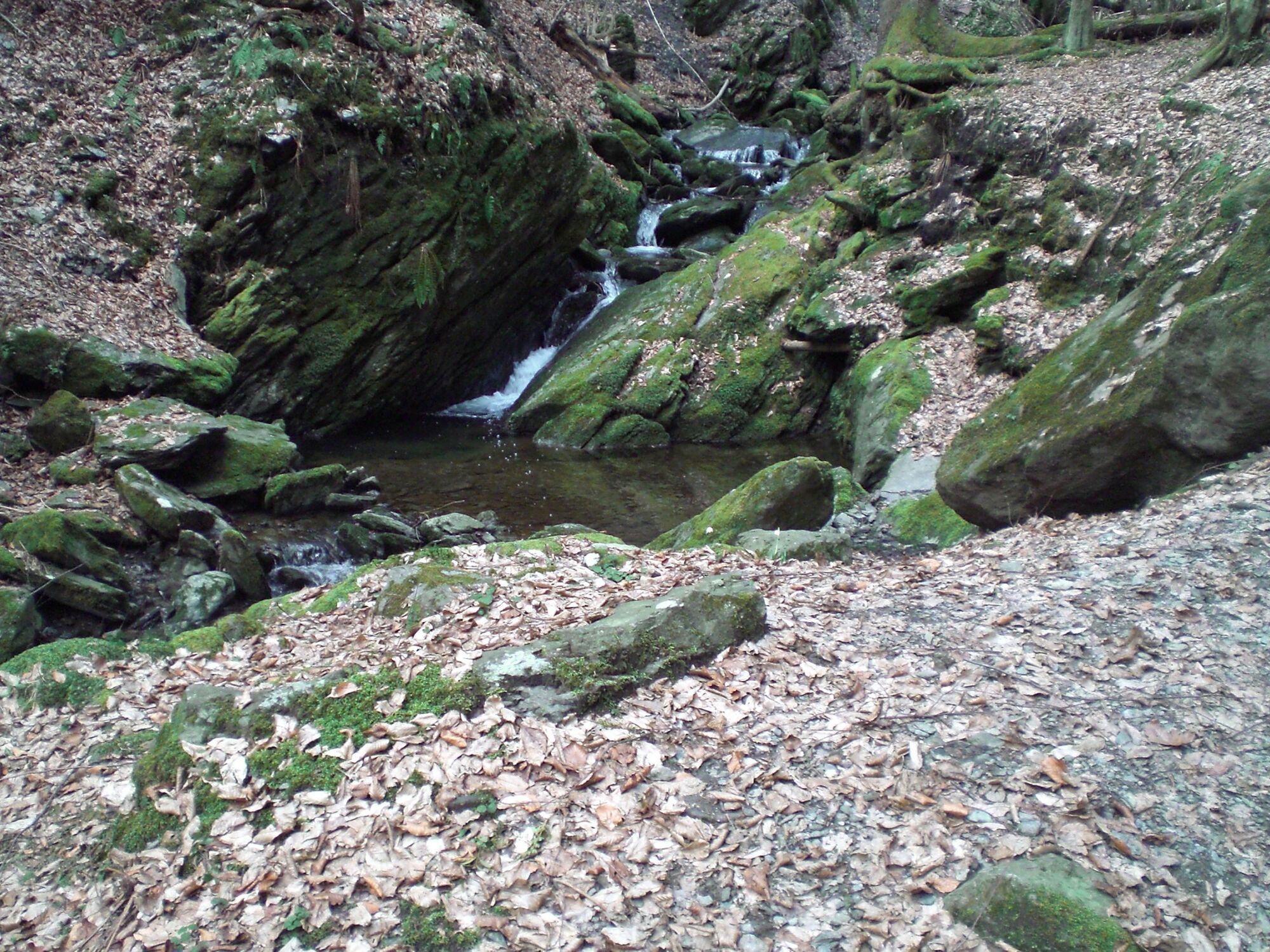
Franzosenkirche Velden
- Profilo altimetrico
-


- Autore
-
Il tour Slow Trail Römerschlucht è utilizzato da outdooractive.com fornito.
GPS Downloads


Info generali
Promettente
Altri tour nelle regioni


