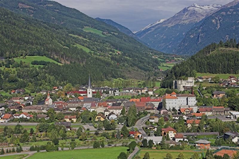
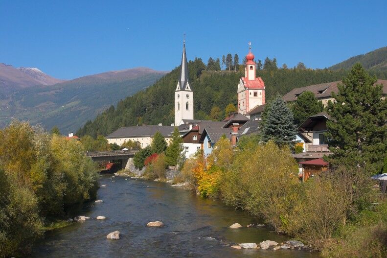
Rund um Gmünd mit Aussicht über die Stadt und ins Maltatal

Escursionismo
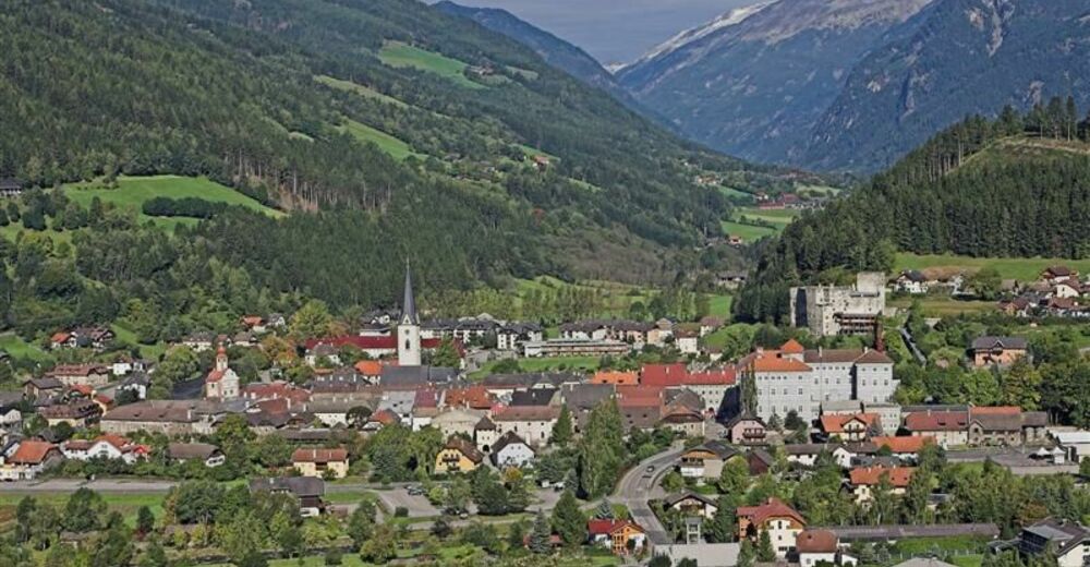
© Künstlerstadt Gmünd


© Region Katschberg Lieser-Maltatal - Elisabeth Ott

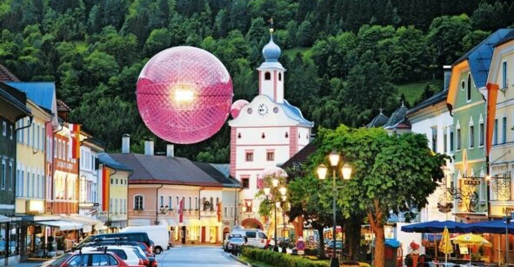
© Künstlerstadt Gmünd
© Tourismusverband Lieser-Maltatal - Elisabeth Ott
© Tourismusverband Lieser-Maltatal - Michaela Isola

© Katschberg-Rennweg - GH Kohlmayr

© Region Katschberg Lieser-Maltatal - Elisabeth Ott


- Descrizione rapida
-
Wir erkunden die Künstlerstadt Gmünd und wandern in Richtung Unter-/Oberbuch und genießen den Weitblick ins Maltatal.
- Difficoltà
-
facile
- Valutazione
-
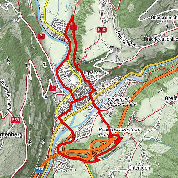
- Percorso
-
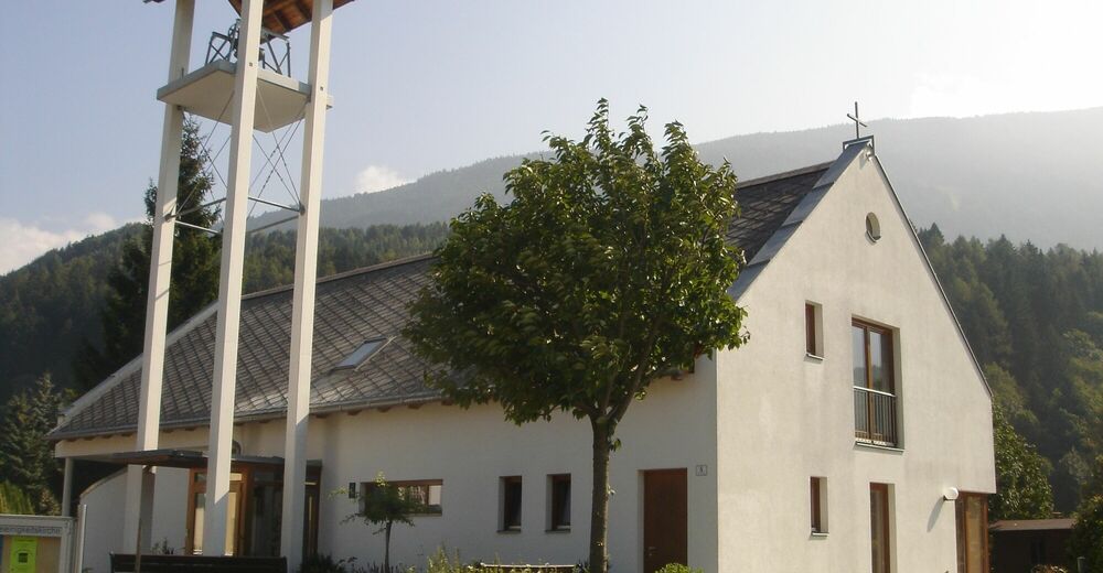
Gmünd0,0 kmKalvarienbergkirche2,1 kmBurgwiese2,6 kmAltweiberkapelle2,8 kmDreieinigkeitskirche3,2 kmMoostratte5,7 km
- La stagione migliore
-
genfebmaraprmaggiulugagosetottnovdic
- Punto più alto
- 843 m
- Destinazione
-
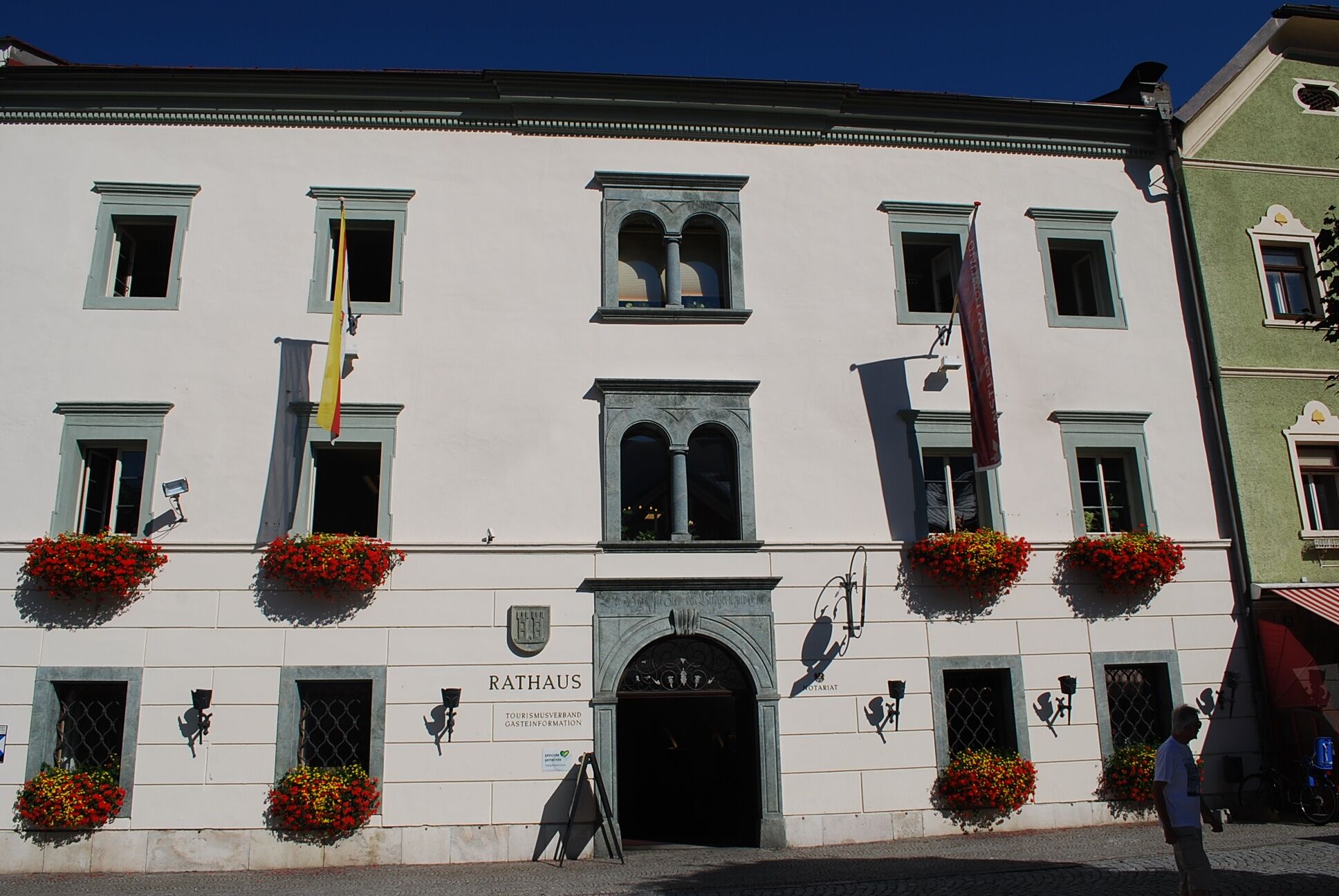
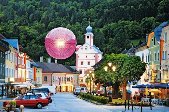
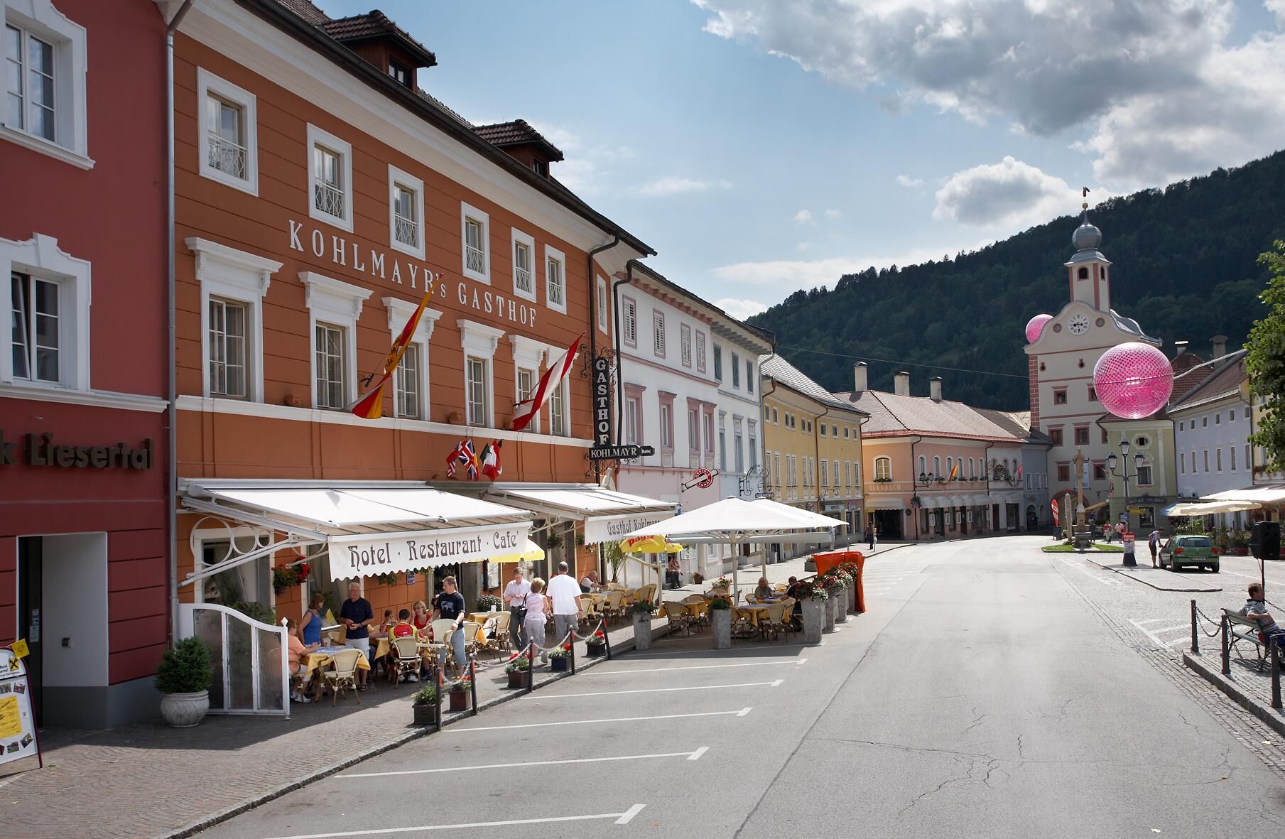
Hauptplatz Gmünd
- Profilo altimetrico
-


- Autore
-
Il tour Rund um Gmünd mit Aussicht über die Stadt und ins Maltatal è utilizzato da outdooractive.com fornito.
GPS Downloads


Info generali
Punto di ristoro
Culturale/Storico
Promettente
Altri tour nelle regioni
-
Katschberg Lieser-Maltatal
2574
-
Millstätter See
1052
-
Gmünd
163