

© Region Villach - Faaker See - Ossiacher See - Stefan Leitner

© Region Villach - Faaker See - Ossiacher See - Stefan Leitner

© Region Villach - Faaker See - Ossiacher See - Region Villach

© Region Villach - Faaker See - Ossiacher See - Region Villach
Dati percorsi
13,73km
785
- 2.101m
1.360hm
1.367hm
08:30h

- Descrizione rapida
-
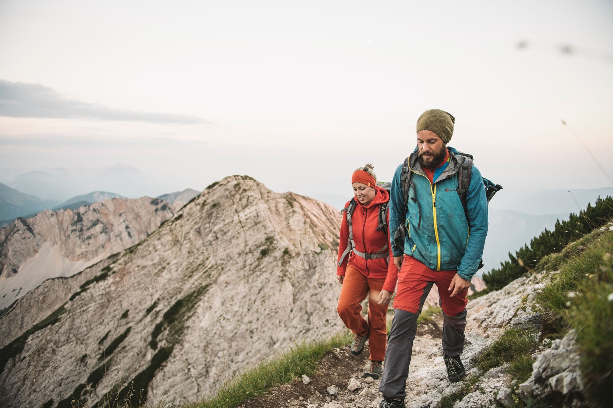
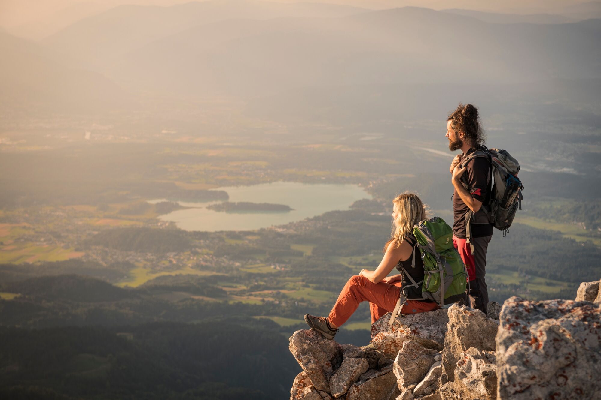
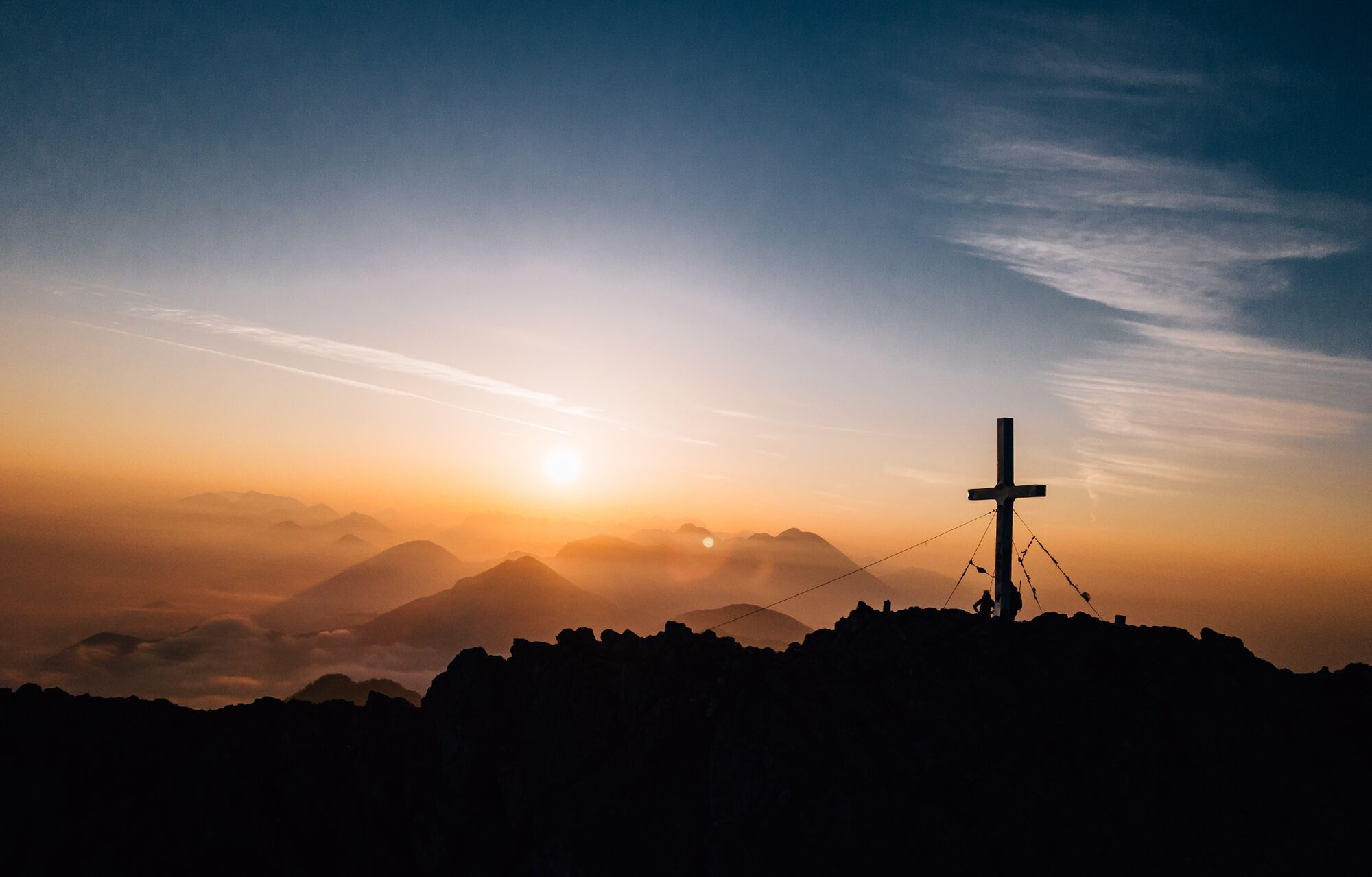
Long and demanding alpine tour to the volcano above Lake Faak.
- Difficoltà
-
difficile
- Valutazione
-
- Percorso
-
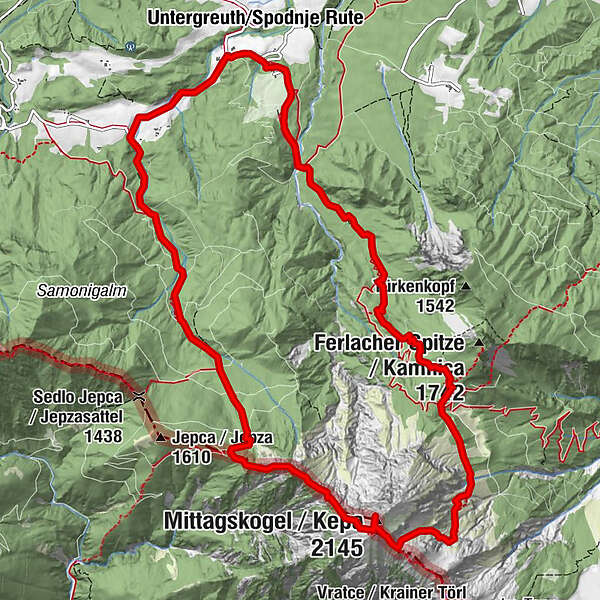
UntergreuthMartinihofOutschena0,8 kmAnnahüttensattel (1.580 m)4,7 kmMittagskogel (2.145 m)6,5 kmBertahütte9,0 kmUntergreuth13,4 kmMartinihof13,6 km
- La stagione migliore
-
genfebmaraprmaggiulugagosetottnovdic
- Punto più alto
- 2.101 m
- Destinazione
-
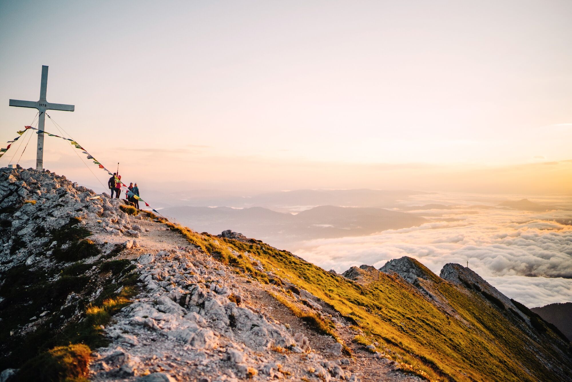
Mittagskogel
- Profilo altimetrico
-

- Autore
-
Il tour Mittagskogel Curcuit è utilizzato da outdooractive.com fornito.
GPS Downloads


Info generali
Punto di ristoro
Promettente
Altri tour nelle regioni


