© Hohe Tauern - die Nationalpark-Region in Kärnten Tourismus GmbH - Glocknerhof


© Hohe Tauern - die Nationalpark-Region in Kärnten Tourismus GmbH - Glocknerhof

© Hohe Tauern - die Nationalpark-Region in Kärnten Tourismus GmbH - Glocknerhof

© Hohe Tauern - die Nationalpark-Region in Kärnten Tourismus GmbH - Glocknerhof
Dati percorsi
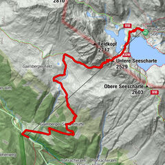
3,36km
1.655
- 1.903m
232hm
246hm
01:30h


- Descrizione rapida
-
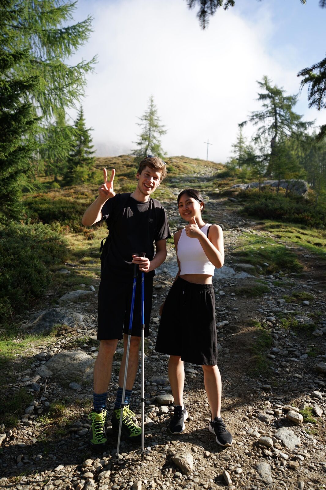
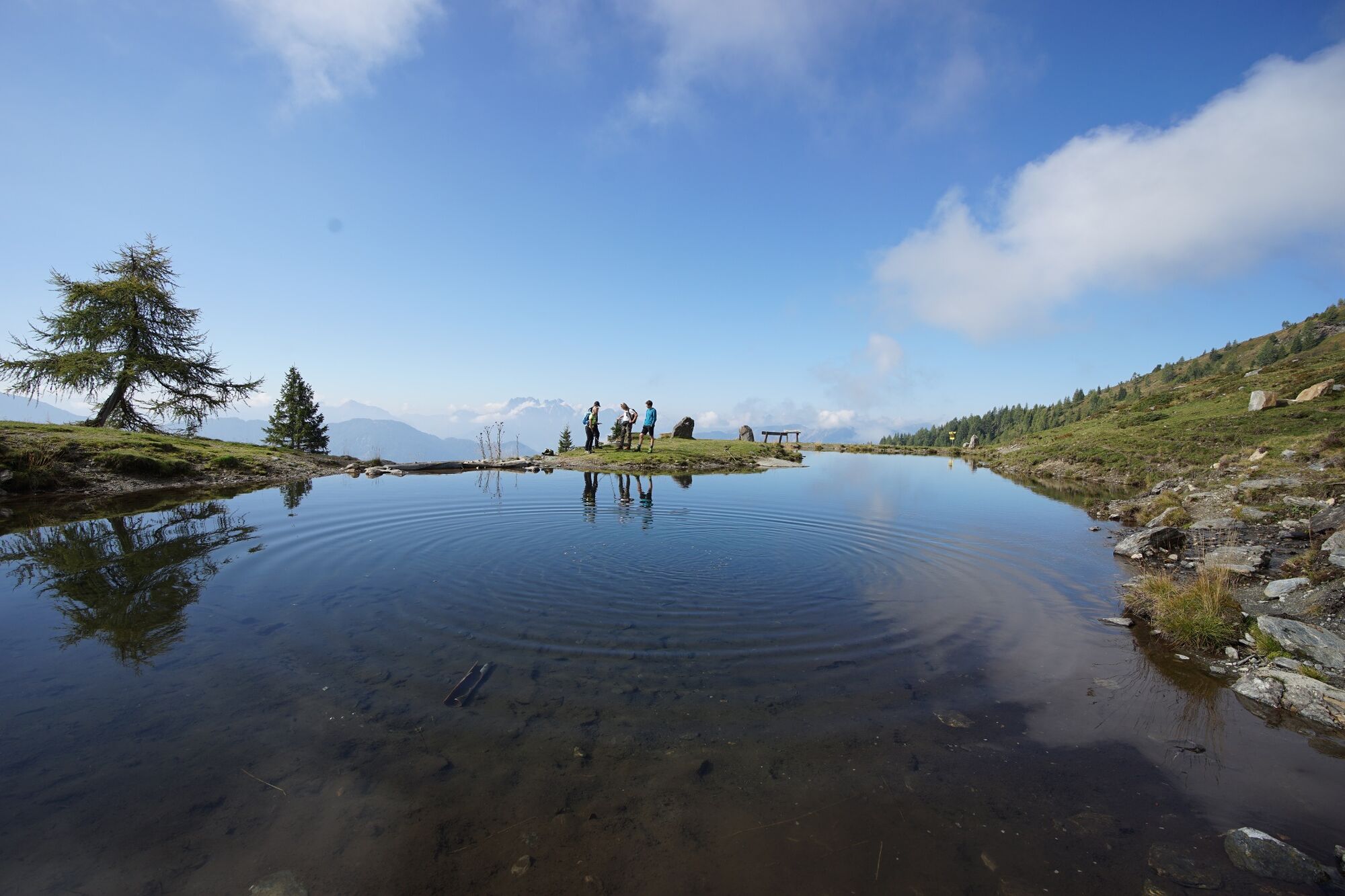
Kurze und aussichtsreiche Almwanderung mit schönen Rast- und Ruheplätzen.
- Difficoltà
-
facile
- Valutazione
-
- La stagione migliore
-
genfebmaraprmaggiulugagosetottnovdic
- Punto più alto
- 1.903 m
- Destinazione
-
Leppner Alm
- Profilo altimetrico
-


- Autore
-
Il tour Wetterkreuz bei der Ochsnerhütte è utilizzato da outdooractive.com fornito.
GPS Downloads


Info generali
Punto di ristoro
Promettente
Altri tour nelle regioni