Bad St. Leonhard: Q1 Quellenwanderweg - Goldbründl

Sentiero tematico

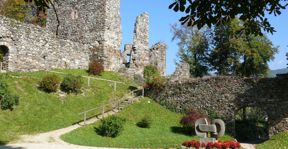
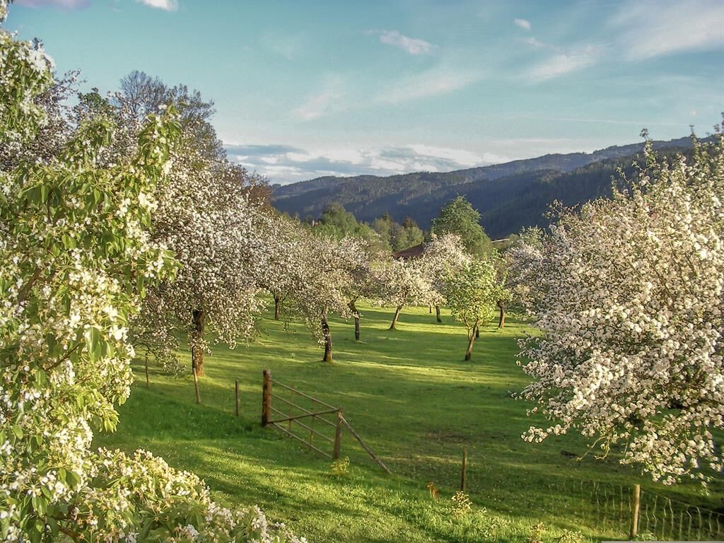
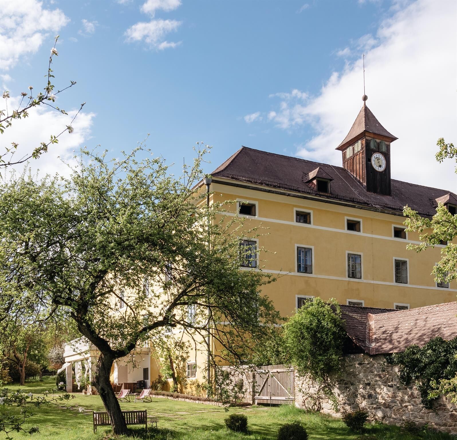
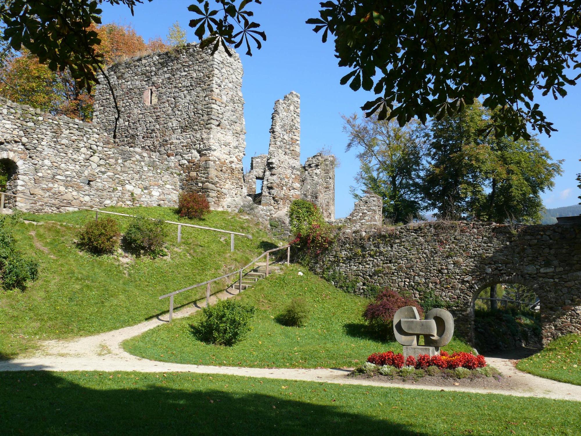
© Lavanttal - Castello Schloss Lichtengraben

© Lavanttal - Castello Schloss Lichtengraben

© Lavanttal - Castello Schloss Lichtengraben

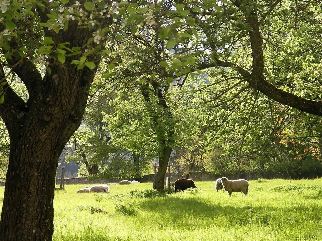
© Lavanttal - Knabl

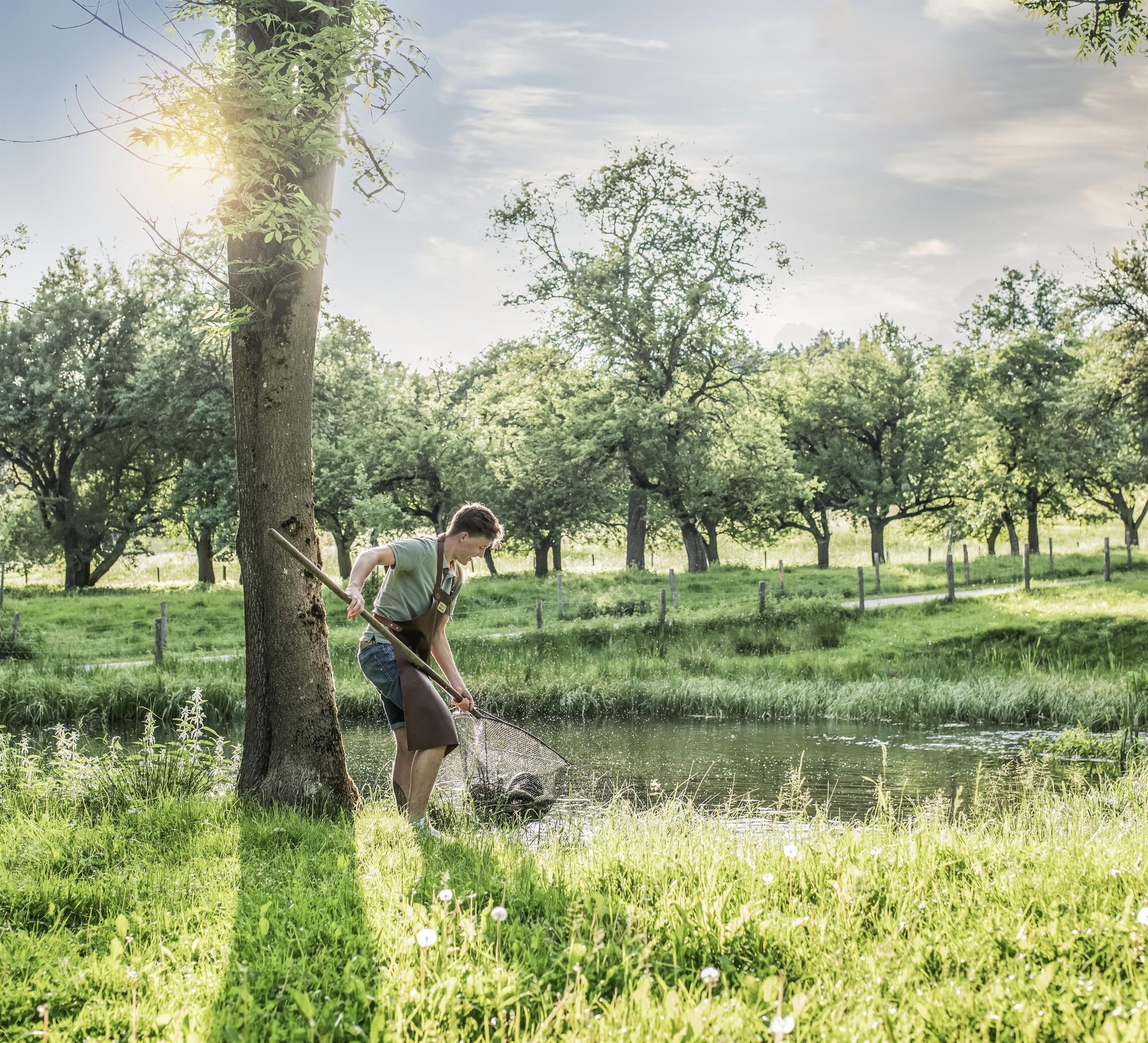
© Lavanttal - @rittler
© KSL Tourismus Marketing GmbH - Region Lavanttal
© KSL Tourismus Marketing GmbH - Region Lavanttal

- Descrizione rapida
-
Die Quellen und Bründl des Oberen Lavanttal sind weit über die Region hinaus bekannt. Das Preblauer Wasser, ein seit dem Mittelalter geschätzter Säuerling, zählt zu den besten Trink- und Heilwässern Europas.
- Difficoltà
-
intermedio
- Valutazione
-
- Percorso
-
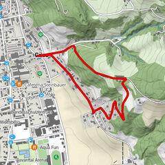
Bad Sankt Leonhard im Lavanttal (714 m)0,1 kmHofladen Lichtengraben3,0 kmLichtengraben3,1 kmLederloch8,5 kmHöllgraben10,2 kmKelzersauerbrunn11,1 kmBad Sankt Leonhard im Lavanttal (714 m)19,1 km
- La stagione migliore
-
genfebmaraprmaggiulugagosetottnovdic
- Punto più alto
- 1.045 m
- Destinazione
-
Bad St. Leonhard
- Profilo altimetrico
-

-

-
AutoreIl tour Bad St. Leonhard: Q1 Quellenwanderweg - Goldbründl è utilizzato da outdooractive.com fornito.
GPS Downloads


Info generali
Punto di ristoro
Culturale/Storico
Promettente
Altri tour nelle regioni