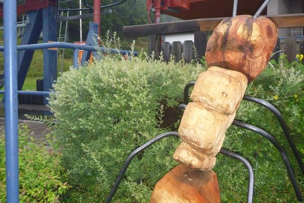
© KSL Tourismus Marketing GmbH - Schober Erich

© KSL Tourismus Marketing GmbH - Schober Erich

- Descrizione rapida
-
Die Quellen und Bründl des Oberen Lavanttal sind weit über die Region hinaus bekannt. Das Preblauer Wasser, ein seit dem Mittelalter geschätzter Säuerling, zählt zu den besten Trink- und Heilwässern Europas.
- Difficoltà
-
facile
- Valutazione
-
- Percorso
-
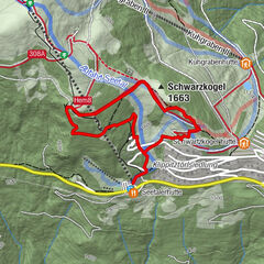
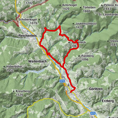
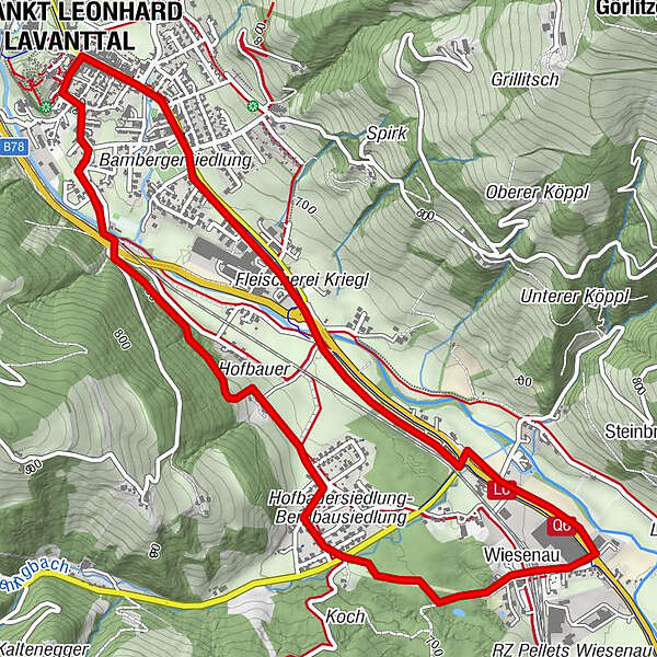
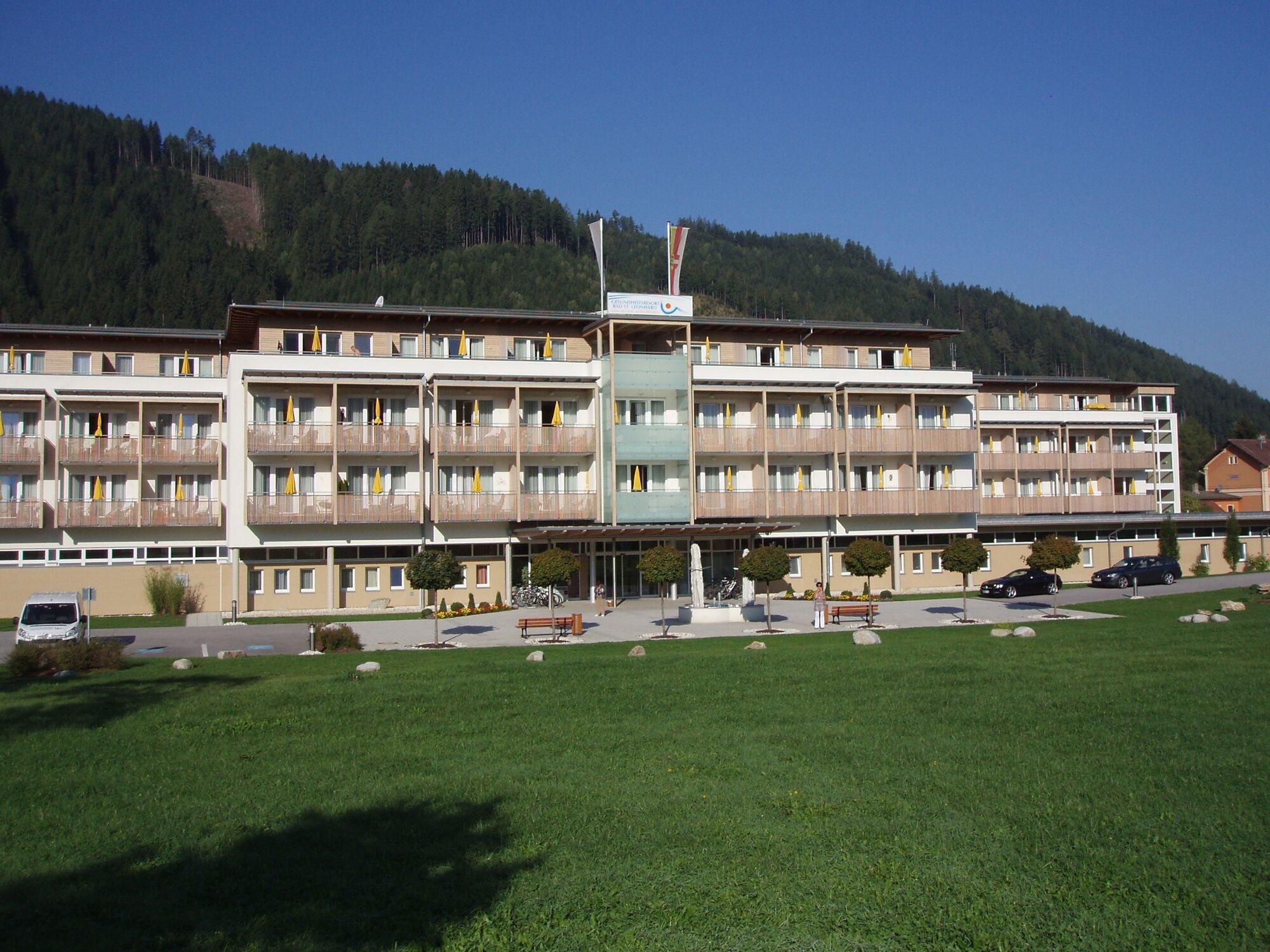
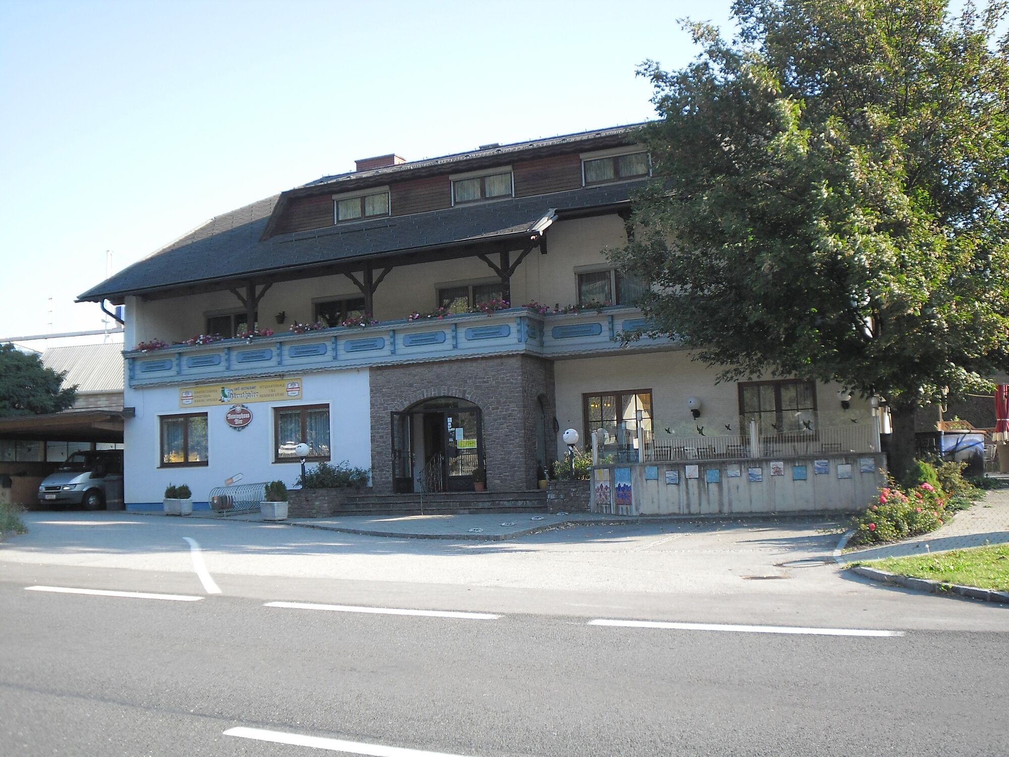
Bad Sankt Leonhard im Lavanttal (714 m)Lourdes-Grotte0,6 kmWiesenau3,3 kmGasthof Karner4,3 kmVorderklippitz4,4 kmCafe-Restaurant Badido6,1 kmKreuzwegkapelle6,2 kmSpitalskirche6,2 kmUnteres Stadttor6,2 kmBad Sankt Leonhard im Lavanttal (714 m)6,5 km
- La stagione migliore
-
genfebmaraprmaggiulugagosetottnovdic
- Punto più alto
- 713 m
- Destinazione
-
Bad St. Leonhard
- Profilo altimetrico
-

-

-
AutoreIl tour Bad St. Leonhard: Q4 Quellenwanderweg è utilizzato da outdooractive.com fornito.
GPS Downloads


Info generali
Punto di ristoro
Culturale/Storico
Altri tour nelle regioni
-
Erlebnisregion Murtal
1783
-
Lavanttal
611
-
Bad St. Leonhard im Lavanttal
166