Dati percorsi
4,26km
1.785 - 2.092m
Distanz
306hm
271hm
L'ascesa
02:05h
 
Durata
Descrizione rapida

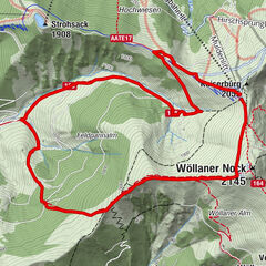
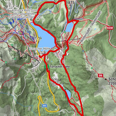
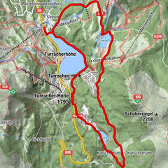
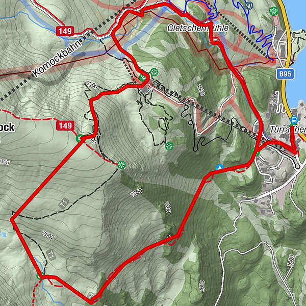
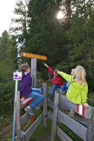
This is a panoramic trail, which follows in the footsteps of the historic Turrach mining tradition.

Difficoltà
intermedio
Valutazione
Tecnica
Forma fisica
Panorama
Avventura / Esperienza

La stagione migliore
gen
feb
mar
apr
mag
giu
lug
ago
set
ott
nov
dic
Punto più alto
2.092 m
Destinazione

Panoramabahn valley station

Profilo altimetrico

Autore
Il tour Barbaraway è utilizzato da outdooractive.com fornito.

2,8
Valutazione complessiva

5

25

%

4

25

%

3

0

%

2

0

%

1

50

%

GPS Downloads
  • GPX GPS Exchange Format (XML)
  • KML Google Earth, Google Maps
Codici di download QR per telefoni cellulari

Info generali

Punto di ristoro
Promettente

Tour popolari della zona

Feldpannalm-Runde | nock/art Route 2

intermedio Sentiero tematico
7,96km | 594hm | 03:07h

Wöllaner Nock – Alpinrunde | nock/art Route 3

intermedio Sentiero tematico
8,76km | 490hm | 03:50h

3 lakes circular trail on the Turracher Höhe

facile Sentiero tematico
7,55km | 155hm | 02:05h

Turracher 3 Seen Weg - Weg der Sinne zwischen Berg & See

facile Sentiero tematico
7,15km | 104hm | 02:30h